
The phrase “Super El Niño” sounds like the start of a disaster movie. That is exactly why it keeps resurfacing whenever the Pacific Ocean begins to shift.
But the latest expert assessments show a more nuanced and, in some ways, more unsettling reality: the immediate threat is not a confirmed new Super El Niño, but a world already stressed by record heat and vulnerable to the next major climate swing.
What experts are actually saying right now

A true Super El Niño is not something forecasters declare casually. It refers to an exceptionally strong El Niño event, marked by unusually warm sea surface temperatures in the central and eastern tropical Pacific and a powerful atmospheric response that can reshape weather patterns around the globe.
Right now, that is not the official state of play. According to the World Meteorological Organization, ENSO-neutral conditions were the most likely outcome for March to May 2026, with that neutral signal rising further into April to June. The agency also warned that forecasts made at this time of year are less reliable because of the well-known spring predictability barrier.
NOAA’s earlier updates showed the climate system moving out of La Niña and back toward neutral conditions, not into a declared El Niño. That matters because headlines suggesting a looming “disastrous” Super El Niño can outrun the science. Experts are warning about risk, not confirming that an extreme El Niño is already underway.
The more BBC-style reading of the evidence is this: meteorologists are watching the Pacific carefully, but the strongest current warning is about uncertainty and vulnerability. In a warmer world, even ordinary climate swings can now deliver outsized damage.
Why the term “Super El Niño” still commands attention
The reason this phrase causes alarm is history. The 2023-24 El Niño was ranked by the World Meteorological Organization as one of the five strongest on record, and its effects rippled well beyond the Pacific. Heat, heavy rainfall, crop stress, and wildfire conditions all became part of the broader global story.
NOAA noted that the 2023 El Niño peaked around November to December 2023, with the Niño-3.4 anomaly near 2.0°C before easing during 2024. Even as the ocean signal weakened, experts stressed that El Niño’s climate effects often linger, especially in the year after it peaks.
That lag is one reason dramatic language continues to resonate. When people hear “Super El Niño,” they are often reacting not just to a forecast, but to memories of recent extremes: flooded streets, scorched farmland, strained power grids, and abnormal seasonal weather that seemed to arrive all at once.
According to the WMO, El Niño typically has its greatest global climate impact in the second year of development. That helps explain why the danger conversation does not end when the Pacific starts cooling. The event may weaken, but the disruptions can continue.
What a strong El Niño can do on the ground
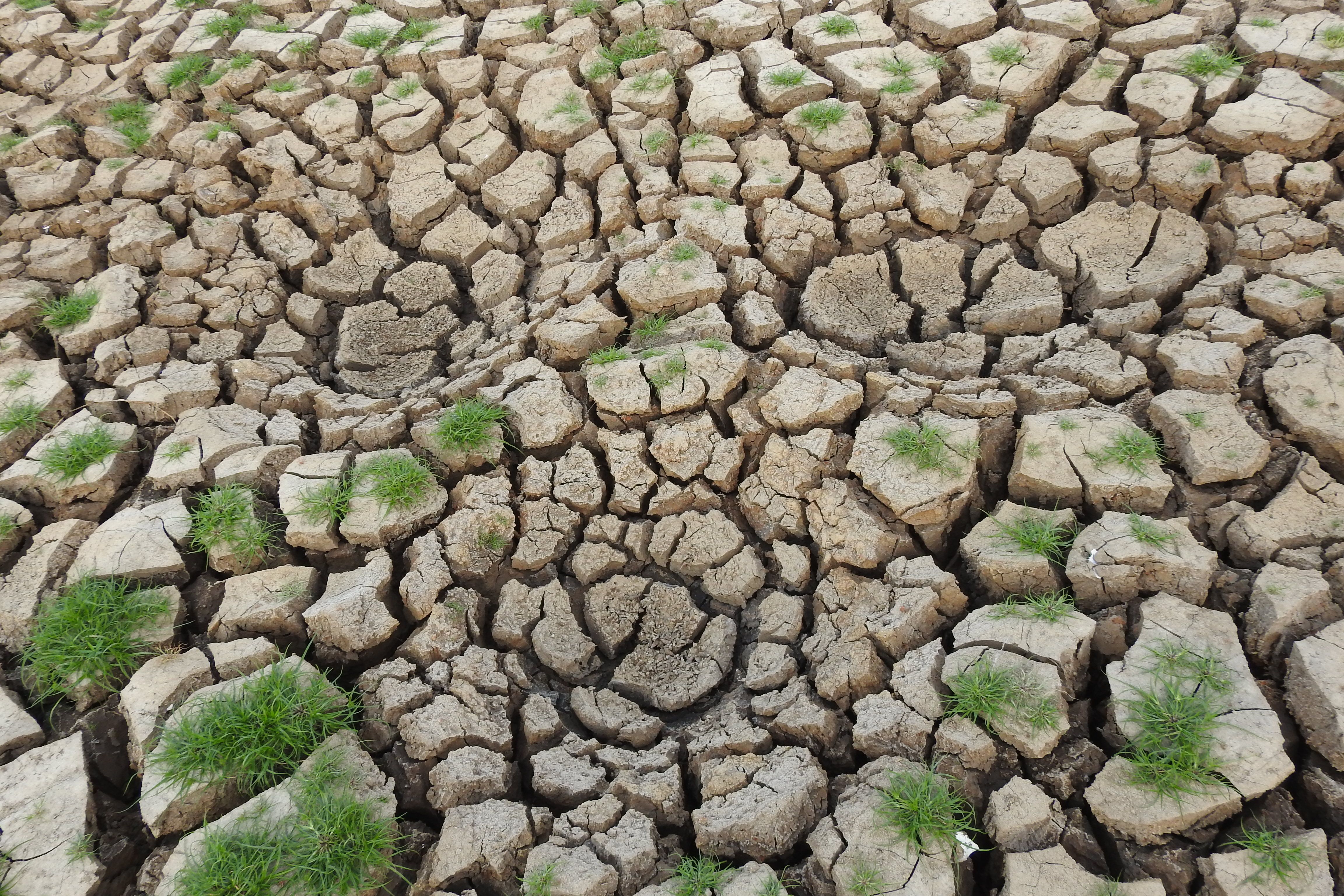
When El Niño strengthens, it can tilt rainfall and temperature patterns across continents. Some regions become wetter than usual, others hotter and drier, and that redistribution can hit food systems, infrastructure, and public health in rapid succession.
In the United States, NOAA says El Niño often shifts winter storm tracks, raising the odds of wetter conditions across the southern tier while parts of the northern U.S. can turn milder. Elsewhere, the pattern can fuel drought in some agricultural zones while intensifying flood risk in parts of South America and East Africa.
For coastal communities, fishing industries, and coral ecosystems, warmer Pacific waters can also be deeply disruptive. Marine heat stress, species migration, and altered upwelling patterns can hit livelihoods as well as biodiversity. These are not abstract climate diagrams; they are changes with real economic and human costs.
That is why forecasters avoid hype but do not dismiss concern. Even without a newly confirmed Super El Niño, emergency planners know that the next major ENSO swing could stack on top of already elevated sea temperatures and a hotter atmosphere, increasing the odds of compound extremes.
Why this time could still feel more dangerous

The most important shift is not simply whether the next El Niño qualifies as “super.” It is the background climate that is now warmer than it used to be. The WMO confirmed 2024 as the warmest year on record, with the fading 2023-24 El Niño adding to the longer-term warming driven by greenhouse gases.
That means the same ocean pattern can now play out in a more volatile atmosphere. A heatwave can become more punishing, a downpour more intense, and drought conditions more damaging because soils, rivers, crops, and cities are starting from a more stressed baseline.
Experts have also repeatedly warned against treating ENSO as the only driver. NOAA and WMO both emphasize that El Niño and La Niña interact with other climate influences and that seasonal outcomes are shaped by a wider system. So a neutral year does not guarantee calm, and a moderate El Niño can still coincide with severe local disasters.
In plain terms, the danger has become less about one label and more about stacked risk. The planet does not need a cinematic “Super El Niño” headline to produce devastating weather. It only needs a vulnerable climate system and a poorly prepared world.
The forecast challenge experts keep highlighting.

One reason coverage can become overheated is that long-range ENSO forecasting is genuinely difficult. The WMO says forecasts issued during the Northern Hemisphere spring are less dependable because the Pacific system becomes harder to read during that transition period.
That uncertainty opens space for dramatic interpretation. A warmer patch of ocean, a model run suggesting possible El Niño development, or memories of the last big event can quickly become a headline about imminent catastrophe. Scientists, by contrast, tend to speak in probabilities, confidence ranges, and evolving scenarios.
NOAA’s own outlooks underline this caution. Earlier guidance showed neutral conditions favored through much of 2025, with only relatively low odds of El Niño compared with neutral or La Niña in key periods. In other words, science has been pointing to watchfulness, not certainty.
For news audiences, the key distinction is simple. Experts are not saying “a disastrous Super El Niño has definitely arrived.” They are saying the Pacific remains a critical risk factor, forecasts are uncertain, and when the next strong event does emerge, its impacts could be amplified by today’s warmer climate.
What the public should take seriously now

The sensible response is neither panic nor complacency. Whether the next major Pacific event is weak, moderate, or extreme, the lesson from recent years is that climate shocks travel fast through modern societies. They affect food prices, insurance losses, water security, health systems, and energy demand.
Households do not need to become oceanographers, but they should understand the practical stakes. A strong ENSO shift can influence flood risk, wildfire danger, crop yields, and seasonal storm behavior months in advance. That gives governments and communities a window to prepare, if they are willing to use it.
The sharper warning from experts is therefore broader than the headline. It is not just “watch for Super El Niño.” It is “watch for a more dangerous climate backdrop in which the next El Niño, whenever it comes, could land harder than past ones.” That is a subtler message, but arguably the more serious one.
So yes, the phrase will keep returning. But the real story, in the style of serious public-interest reporting, is this: the Pacific may not be screaming “Super El Niño” today, yet the world is already vulnerable enough that the next big swing could still prove deeply destructive.
Custom footer at the end of the article.


