A hunting route can appear straightforward on a map, with a clear trail leading through open ground toward a promising location. However, maps rarely show every obstacle that affects travel on foot. Steep slopes, dense vegetation, unstable surfaces, changing water levels, and unexpected detours can turn a short walk into a demanding journey. Understanding these eight warning signs helps hunters judge the terrain more realistically, estimate travel time, and prepare for conditions that a simple line on a screen cannot fully reveal.
1. Closely Spaced Contour Lines Indicate Steep Ground
A route that crosses closely spaced contour lines may involve much more effort than its length suggests. On a topographic map, each line represents a particular elevation, and tighter spacing generally indicates a steeper slope. For example, a climb of 300 feet over half a mile can feel substantially harder than the same distance across level ground, especially when carrying a loaded backpack. Steep terrain can also complicate footing and increase fatigue on the descent. Check elevation changes along the entire route, not just the starting and ending points.
2. A Straight Trail Crosses Dense Vegetation
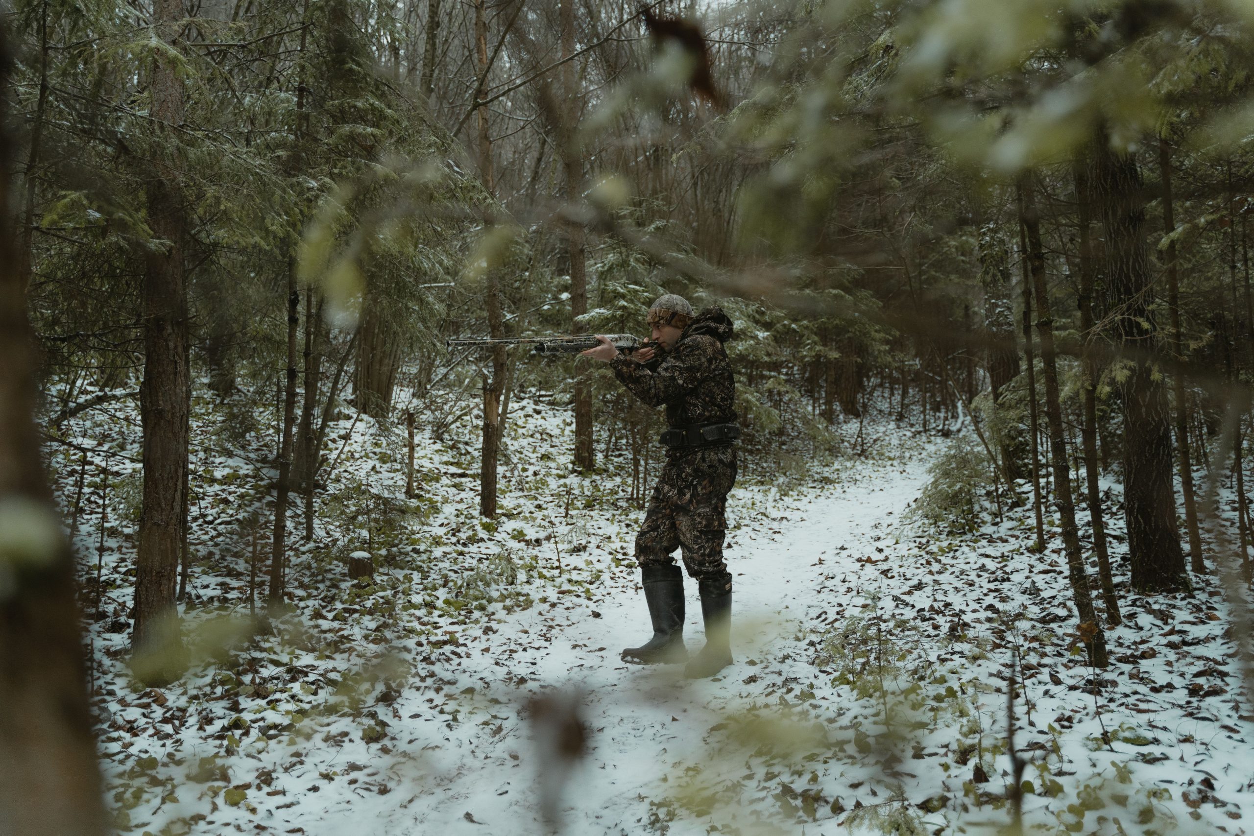
A straight line on a map does not guarantee an easy passage through the landscape. Satellite images may show woodland as a continuous green area without revealing thick undergrowth, thorny shrubs, fallen timber, or tangled vines. Even a route measuring one mile can take considerably longer when vegetation repeatedly blocks forward movement. Seasonal growth can make familiar terrain more difficult, while wet brush may soak clothing and increase discomfort. Compare several recent images when available, and look for established trails or open corridors rather than assuming the shortest line will be the quickest option.
3. Waterways Create Unexpected Detours
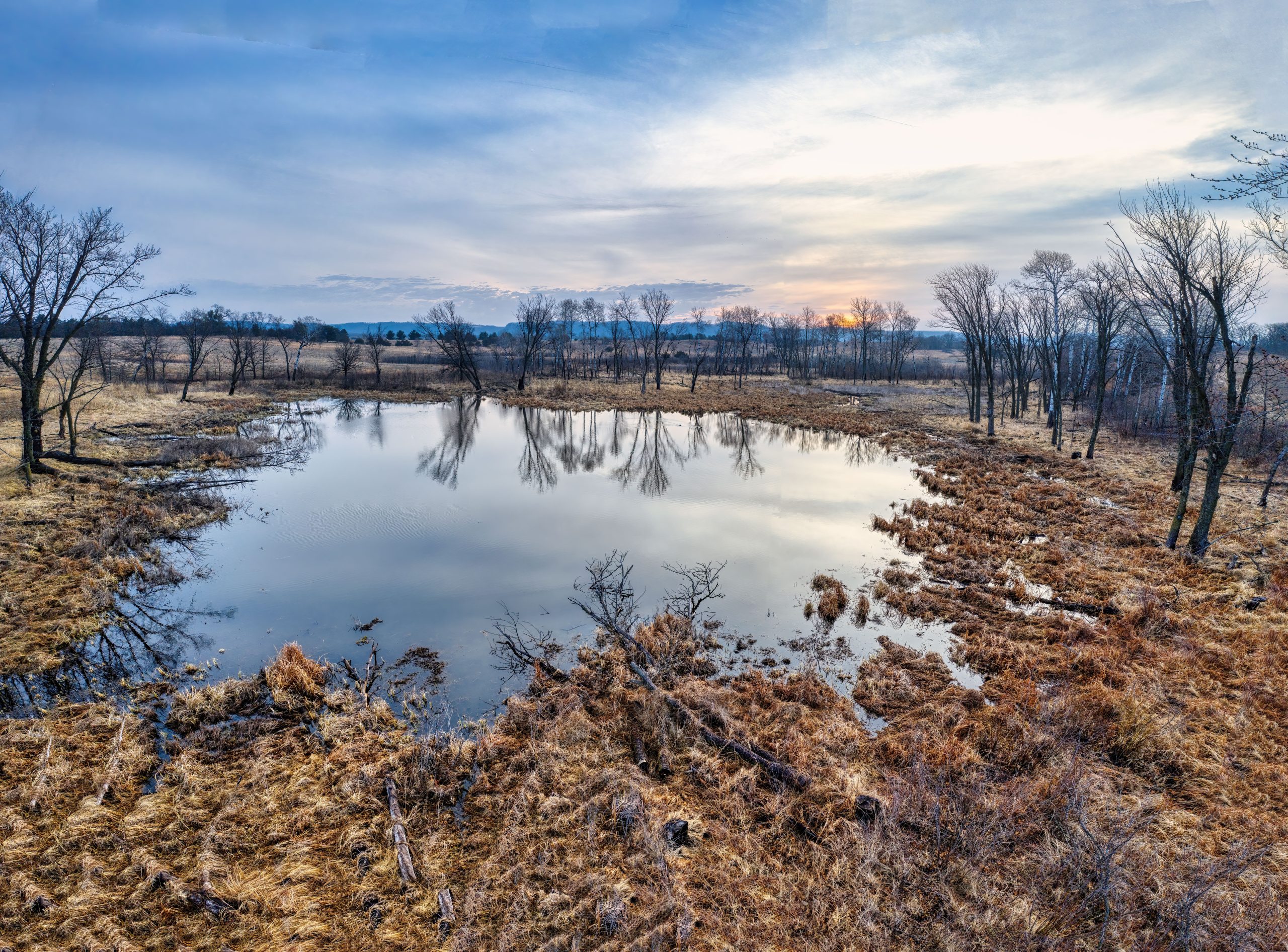
A narrow blue line on a map can represent anything from a shallow seasonal stream to a fast-moving watercourse with steep banks. The symbol alone rarely explains whether a safe crossing exists at a particular point. A route of two miles may become significantly longer if a stream forces a detour to a bridge or established crossing. Rainfall can also change water depth and current speed within hours. Before setting out, identify nearby crossing points, check recent weather, and avoid entering water when its depth, footing, or current cannot be assessed confidently.
4. The Route Passes Through Unstable Ground
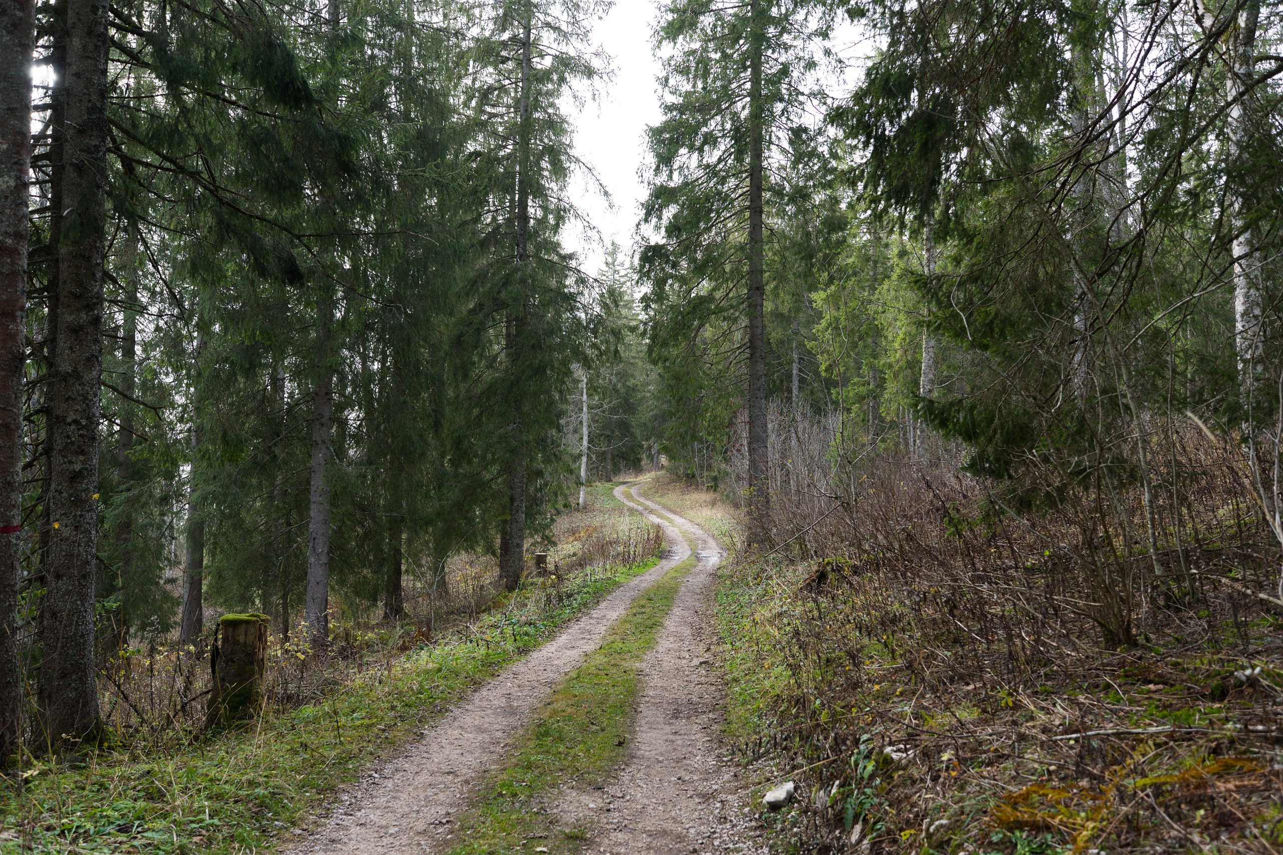
Maps often make marshes, loose scree, muddy flats, and sandy washes look like ordinary terrain, although each surface can slow progress. A half-mile crossing over firm soil may be manageable, while the same distance across deep mud or loose rock can demand considerably more energy. Unstable footing also increases the chance of slipping, twisting an ankle, or losing balance under a heavy pack. Recent rain, snowmelt, and seasonal drying can change ground conditions substantially. Check terrain descriptions and local reports, and identify firmer alternatives before committing to a difficult section.
5. The Elevation Profile Hides Repeated Climbs
A route may begin and end at nearly the same elevation while still containing several demanding ascents and descents. A map showing only a 100-foot difference between the endpoints can conceal multiple hills that require substantial climbing along the way. For instance, four separate climbs of 200 feet each add 800 feet of cumulative ascent, even if the route finishes close to its starting elevation. Repeated elevation changes can drain energy and slow progress, particularly when carrying equipment. Examine the elevation profile and total ascent rather than relying on endpoint elevations alone.
6. Few Landmarks Make Navigation More Difficult
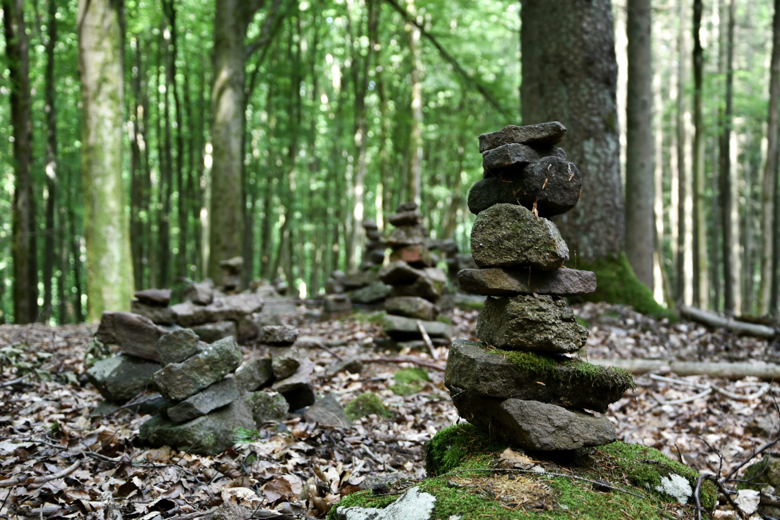
A route through open woodland or rolling hills may look simple until familiar reference points disappear. Dense forest, fog, fading daylight, and similar-looking ridgelines can make it difficult to identify the correct direction. Even a short route of three miles can become confusing when junctions are poorly marked, or landmarks are hidden from view. Download an offline map, carry a compass, and mark important turns before leaving. GPS devices can lose accuracy or run out of battery, so a second navigation method provides valuable backup when visibility deteriorates or the planned route becomes unclear.
7. Remote Terrain Leaves Little Room for Mistakes
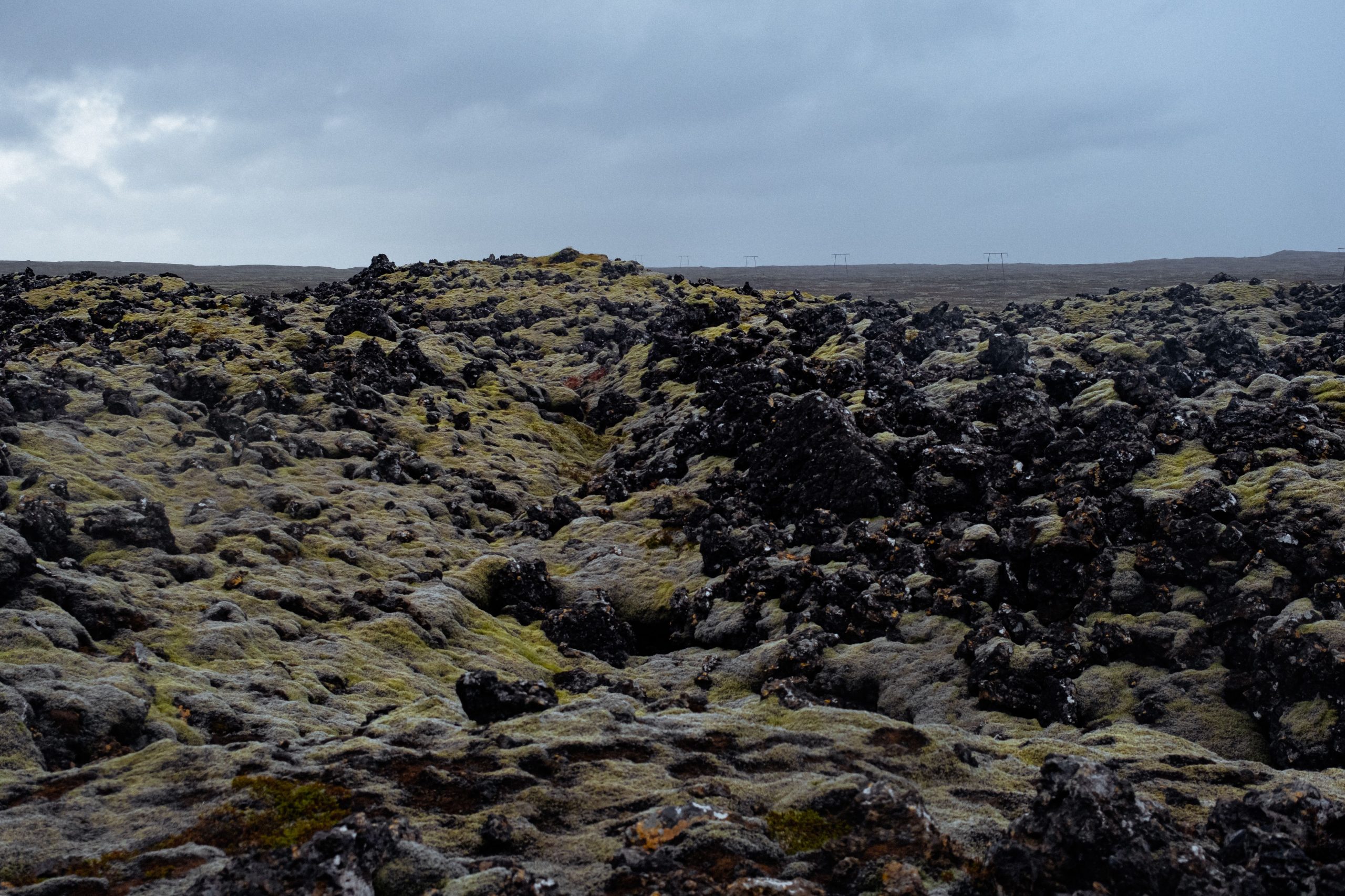
A route that looks manageable on screen may become considerably riskier when it lies far from roads, settlements, or reliable communication. Walking five miles into an isolated area means that an injury or equipment failure could leave a person facing a long return journey. Mobile coverage may be unreliable, and rescue assistance can take time to arrive. Check access roads, identify at least two possible exit routes, and tell someone your expected return time. A conservative turnaround time is especially important when daylight is limited, or the terrain is unfamiliar.
8. Seasonal Conditions Change the Route Completely
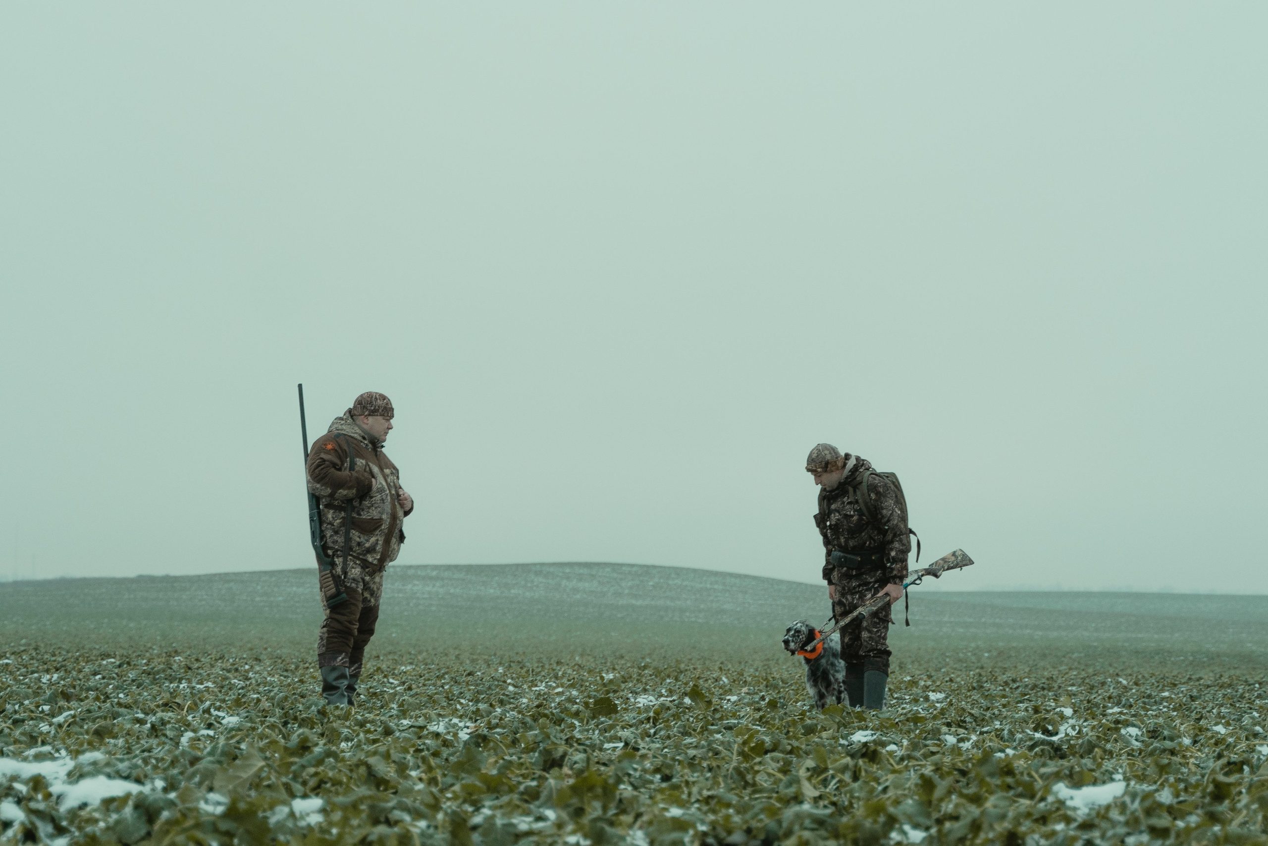
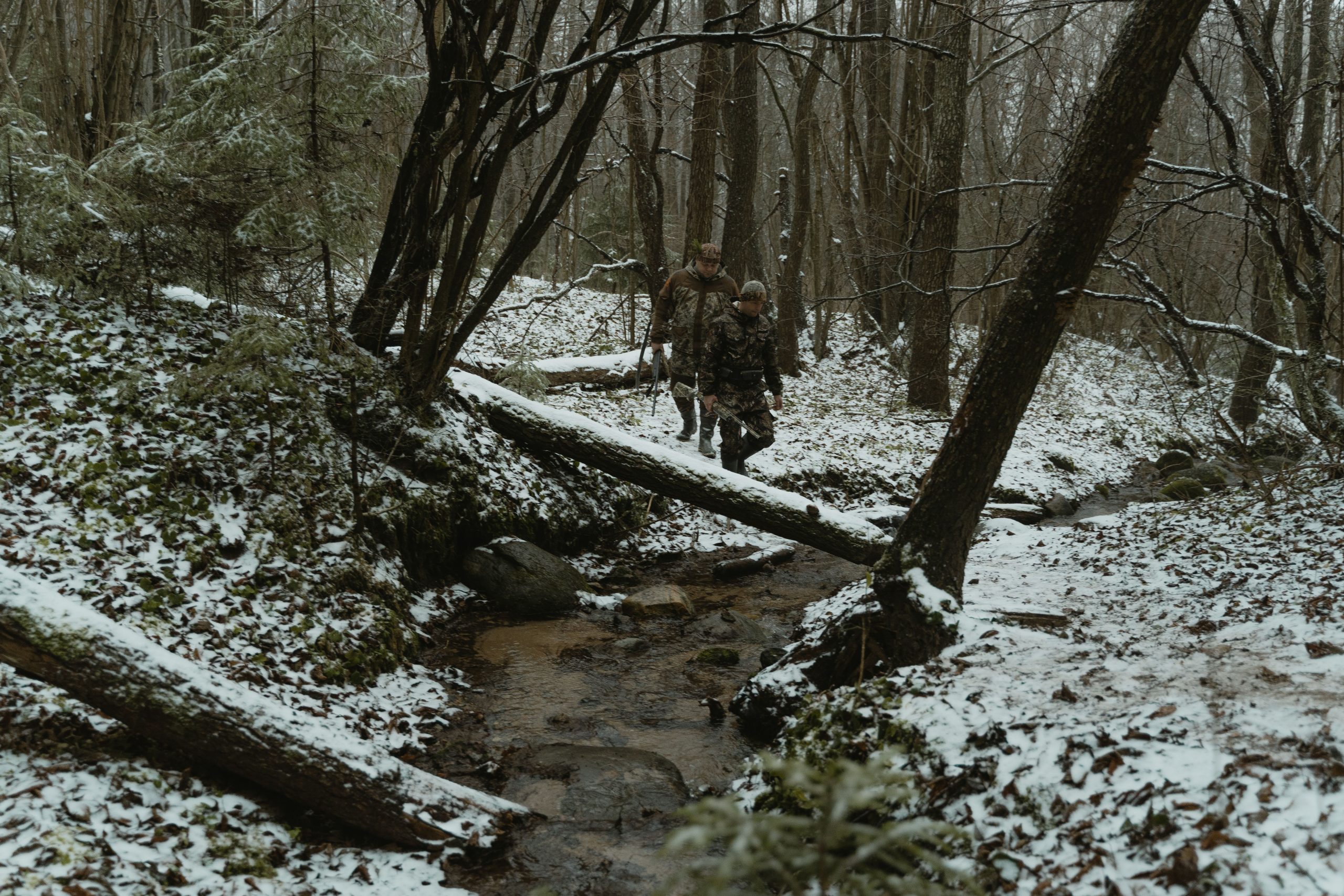
A trail that appears easy during summer may become difficult after heavy rain, snowfall, or a sudden temperature drop. Snow can conceal rocks and drainage channels, while wet leaves can make slopes slippery and muddy tracks harder to cross. A route covering four miles might take much longer when seasonal obstacles force slower movement or repeated detours. Daylight also varies throughout the year, affecting how much time remains for a safe return. Check current forecasts, recent trail reports, and local restrictions before departure, and choose an alternative if conditions exceed your experience or equipment.