
The United States offers an extraordinary range of landscapes, and many popular hiking trails pass by unusual geological formations that often slip by without much attention. These features reveal stories of volcanic activity, ancient seas, slow-moving glaciers, and shifting tectonic plates that shaped the ground beneath modern trails. While many hikers focus on viewpoints or destination landmarks, the subtle formations along the way can be just as compelling for those who take the time to look closely. Patterns in rock layers, erosion shapes, mineral deposits, and unique landforms all highlight the complex processes that built each region over millions of years. Exploring these trails with greater awareness turns a routine hike into an opportunity to observe natural history unfolding in plain sight.
Skyline Trail, Mount Rainier National Park, Washington
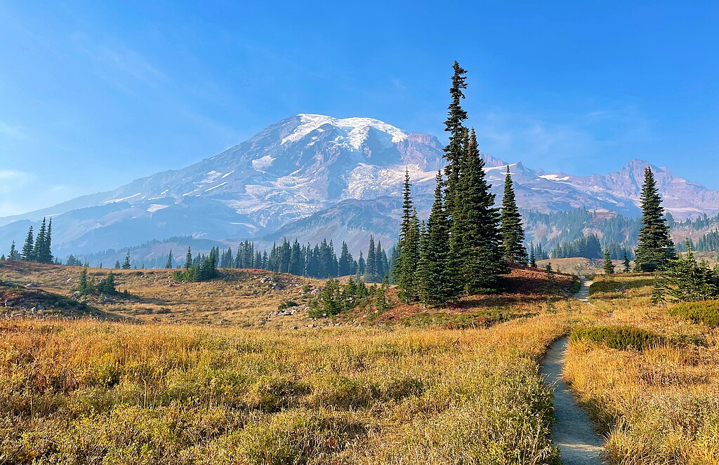
The Skyline Trail features dramatic alpine scenery, yet many hikers overlook the odd geological remnants scattered along its path. Ancient lava flows form dark, banded layers that appear in cliff faces and boulder fields, revealing Mount Rainier’s long volcanic history. Glacial striations etched into exposed rock offer clues about past ice movement that carved the surrounding valleys. Pumice fragments, lightweight and porous, still appear in certain areas where eruptions once blanketed the landscape. These small but telling features illustrate the ongoing interplay between volcanic forces and glacial erosion. Observing these details provides insight into how Mount Rainier evolved over thousands of years and continues to change through natural processes that shape the Cascade Range dramatically over time.
Fairyland Loop, Bryce Canyon National Park, Utah
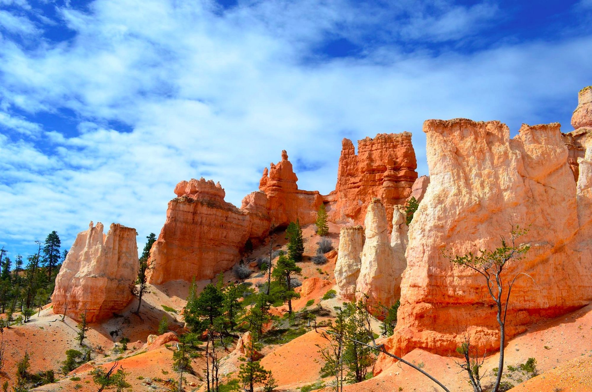
The Fairyland Loop showcases Bryce Canyon’s famous hoodoos, but subtle geological oddities often go unnoticed along the trail. Erosion patterns create small arches, ridges, and thin spires that form before larger hoodoos emerge, offering a glimpse into the early stages of rock formation. The Claron Formation’s pastel-colored layers reveal ancient sediment that once settled in a freshwater lake environment. Differential erosion carves whimsical shapes that shift constantly as wind and water sculpt the limestone. Hikers may notice sharp contrasts between soft pink limestone and harder white sandstone where erosion exposes distinct layers. These overlooked formations highlight Bryce Canyon’s delicate and ever-changing geology, shaped by millions of years of uplift and weathering that continue influencing the landscape’s evolution today.
Garden of the Gods Loop, Colorado Springs, Colorado
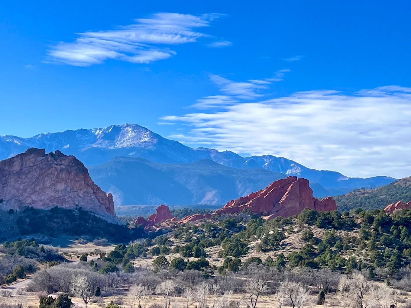
Garden of the Gods is known for its towering red rock fins, yet the loop trail passes several lesser-known formations shaped by dramatic geological uplift. Tilted sandstone slabs rise at steep angles due to tectonic forces that pushed rock layers vertically over time. Ripple marks preserved in certain surfaces reveal that parts of the landscape once existed as sandy beaches along an ancient inland sea. Mineral streaks create unusual patterns that reflect iron oxidation within the rock. Smaller balanced stones appear throughout the park, formed as softer layers erode faster than harder ones above them. These quiet details deepen appreciation for the dynamic processes that shaped Colorado’s Front Range and reveal how forces continue to shape the terrain subtly.
Fiery Furnace, Arches National Park, Utah
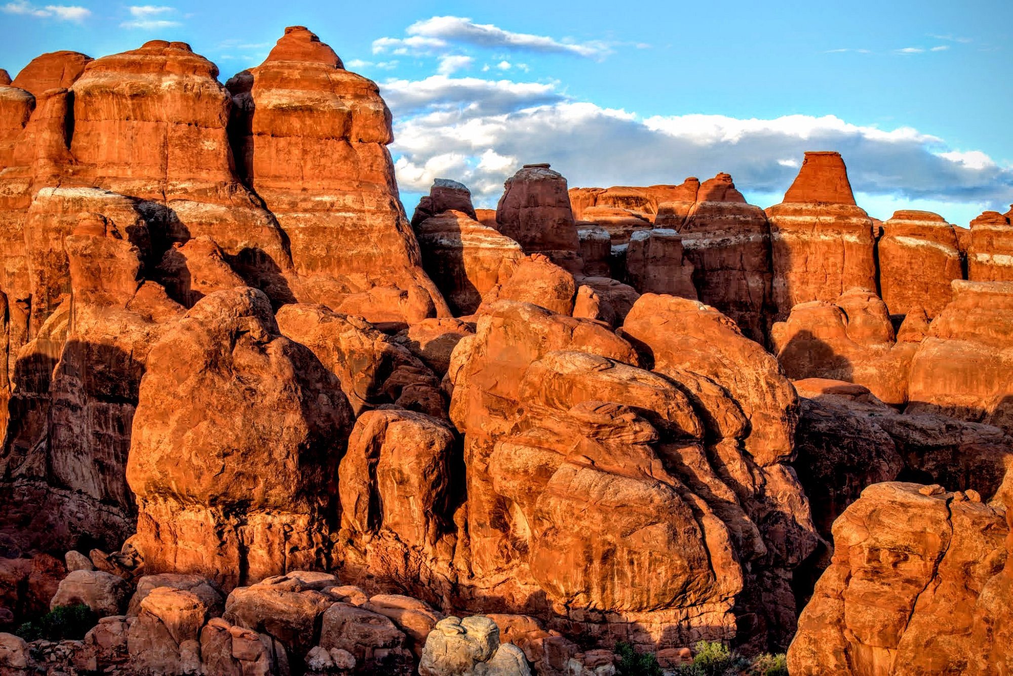
The Fiery Furnace offers a maze of sandstone fins and narrow passages, but many hikers miss the intricate geological clues that define the area’s complexity. Cross-bedding patterns preserved in rock faces reveal ancient sand dune formations from a prehistoric desert. Tightly packed fracture lines illustrate ongoing erosion that slowly separates fins into slots and arches. Small alcoves show early-stage arch development where water and freeze-thaw cycles carve weakened rock. Iron-rich streaks form red and orange bands that accentuate the sandstone’s layered history. Observing these features provides a richer understanding of the forces that built the extraordinary sandstone labyrinth found within Arches National Park and continue refining its unique formations.
Ice Age Trail, Wisconsin
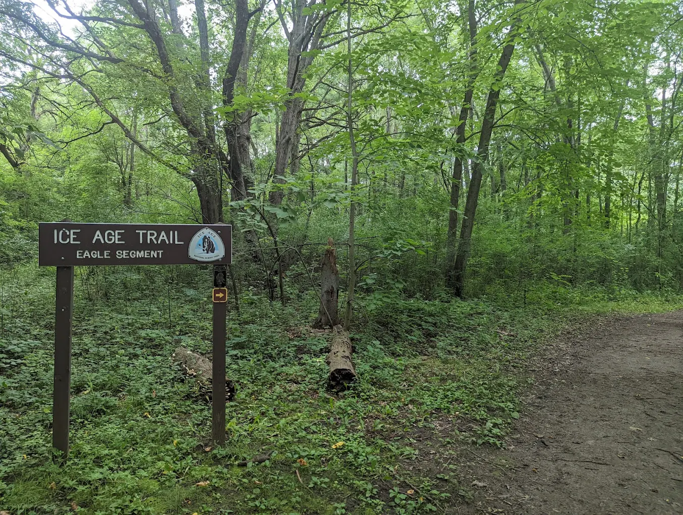
Wisconsin’s Ice Age Trail winds through landscapes shaped by the last glacial period, offering subtle geological formations that many hikers overlook. Kettle depressions formed by melting ice blocks create rounded pits scattered across forested areas. Long, winding ridges called eskers appear where meltwater streams once flowed beneath glaciers. Erratics, or large boulders transported from distant regions, rest unexpectedly within prairies and woodlands. These features reveal the tremendous power of glacial movement and deposition. While the trail provides scenic views, the smaller geological markers along the route tell a deeper story about the ancient ice sheets that once covered much of Wisconsin and influenced regional terrain development.
Quebrada Trail, El Yunque National Forest, Puerto Rico
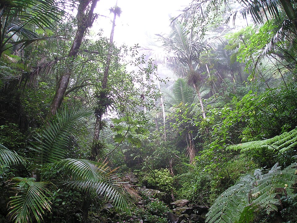
The Quebrada Trail passes through lush rainforest, where unusual geological formations result from heavy rainfall and rapid erosion. Rounded river stones polished by persistent water flow line many sections of the trail. Exposed bedrock displays smooth channels carved by seasonal torrents, creating natural grooves unlike those seen in drier regions. Iron-rich soil contributes to vibrant red clay areas that mark erosion-prone slopes. Slanted rock slabs reveal past landslides that reshaped the terrain during powerful storms. These subtle features highlight the rainforest’s dynamic geology, shaped by intense rainfall patterns and the island’s volcanic origins, which continue to influence local landscapes significantly.
Kalalau Trail, Nā Pali Coast, Hawaii
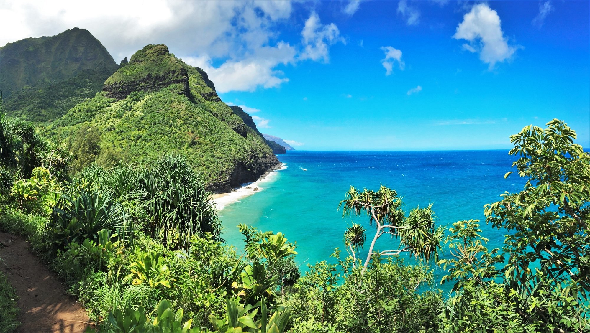
The Kalalau Trail offers dramatic coastal views, but its geology contains hidden oddities that hint at Hawaii’s volcanic past. Basalt rock layers appear in striking horizontal bands where ancient lava flows cooled at different rates. Rounded sea caves form through wave erosion along the cliff base, slowly expanding with each tide cycle. Red and green mineral deposits reflect varying oxidation levels of volcanic rock. Columnar basalt outcrops, though less common here than in other Hawaiian locations, provide evidence of cooling patterns deep within former lava channels. These small features reveal the island’s volcanic foundation and its transformation through constant coastal erosion and weather-driven geological change.
Old Rag Loop, Shenandoah National Park, Virginia
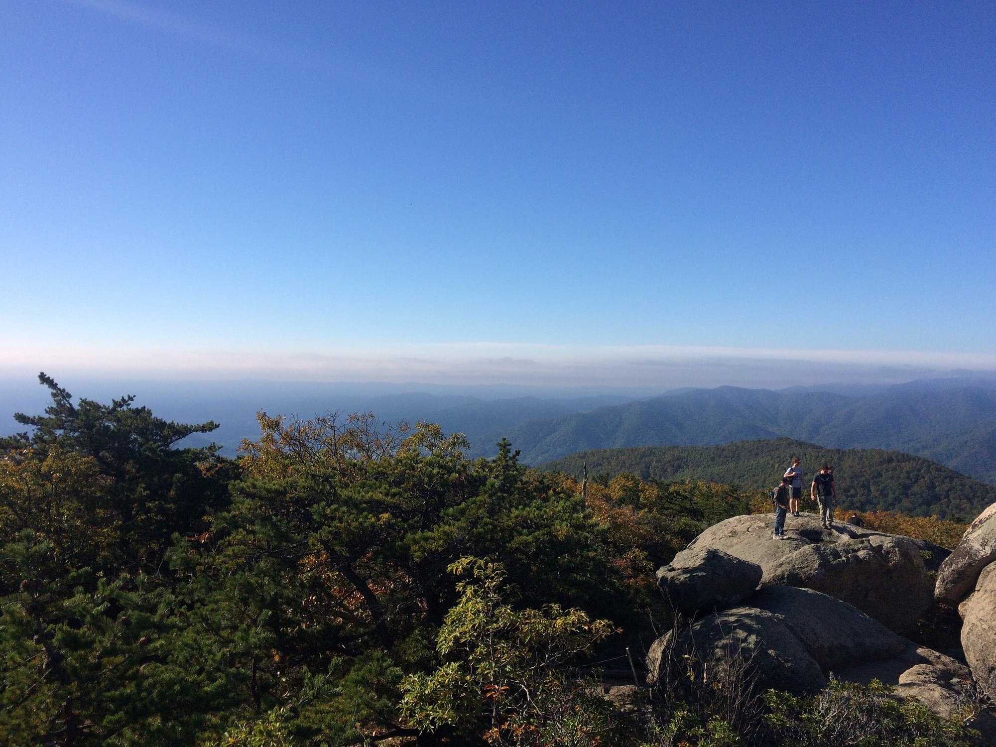
Old Rag’s rugged granite landscape offers surprising geological clues for those who look closely while navigating its boulder fields. Exposed granite surfaces reveal quartz veins that formed under immense pressure deep within the earth. Weathered tafoni patterns create honeycomb-like pits on rock faces, shaped by salt crystallization and moisture. Joint fractures running through boulders illustrate natural stress lines that contribute to rock splitting over long time periods. Lichen growth highlights moisture differences between shaded and sunlit exposures. These subtle geological features reflect the mountain’s ancient origins and the slow but steady erosion that defines the Blue Ridge Mountains, offering hikers insight into long-term geological transformation.
McKittrick Canyon Trail, Guadalupe Mountains National Park, Texas
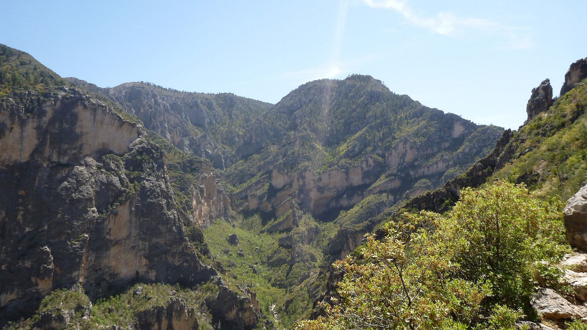
McKittrick Canyon contains striking limestone formations that once formed part of a massive prehistoric reef system. Fossilized sponges, corals, and shell fragments appear in many rock surfaces, offering a glimpse into the region’s marine history. Layered limestone cliffs reflect uplift that raised the former seabed thousands of feet above sea level. Erosion carved narrow channels through the canyon floor, exposing geological patterns rarely seen in other parts of Texas. Mineral staining creates pink and gray streaks that highlight chemical changes over time. The trail offers abundant signs of the ancient reef, yet many hikers miss these small but extraordinary details while admiring the canyon’s broader scenery and rich geological context.
Amphitheater Lake Trail, Grand Teton National Park, Wyoming
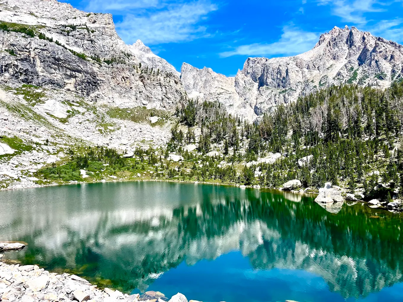
The Amphitheater Lake Trail winds through glacial terrain shaped by dramatic carving and deposition. Striations etched into bedrock reflect past glacier movement across the valley. Moraines appear as raised ridges formed from accumulated rock pushed by ice long ago. Granite cliffs reveal pegmatite veins containing large crystals formed from slow-cooling magma. Boulder fields mark areas where glaciers fractured rock and left debris as they retreated. These subtle details illustrate the profound influence of glacial processes on the Tetons, inviting hikers to recognize how ancient ice sculpted the rugged beauty found throughout the park and continues shaping its evolving terrain with remarkable clarity visible across the surrounding landscape.
The Wave Trail, Vermilion Cliffs National Monument, Arizona
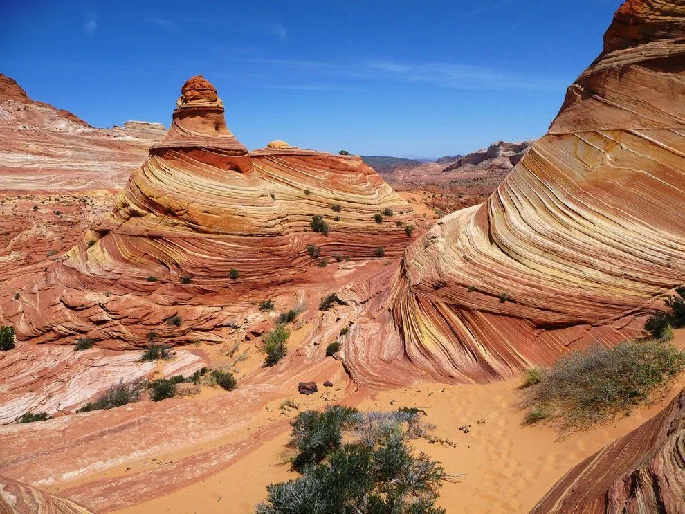
The Wave Trail leads to a famous landmark, yet smaller geological formations along the way deserve equal admiration. Cross-bedded sandstone layers show complex wind patterns preserved from shifting dunes in an ancient desert. Swirling red, yellow, and white bands highlight mineral deposits that oxidized over millions of years. Narrow fins and shallow depressions represent early-stage formations similar to The Wave itself. Erosional pockets create rounded basins that fill temporarily with rainwater before evaporating. These details reveal how fragile and dynamic the sandstone environment remains, shaped continually by wind and water within this stunning desert landscape and always evolving subtly.
Harding Icefield Trail, Kenai Fjords National Park, Alaska
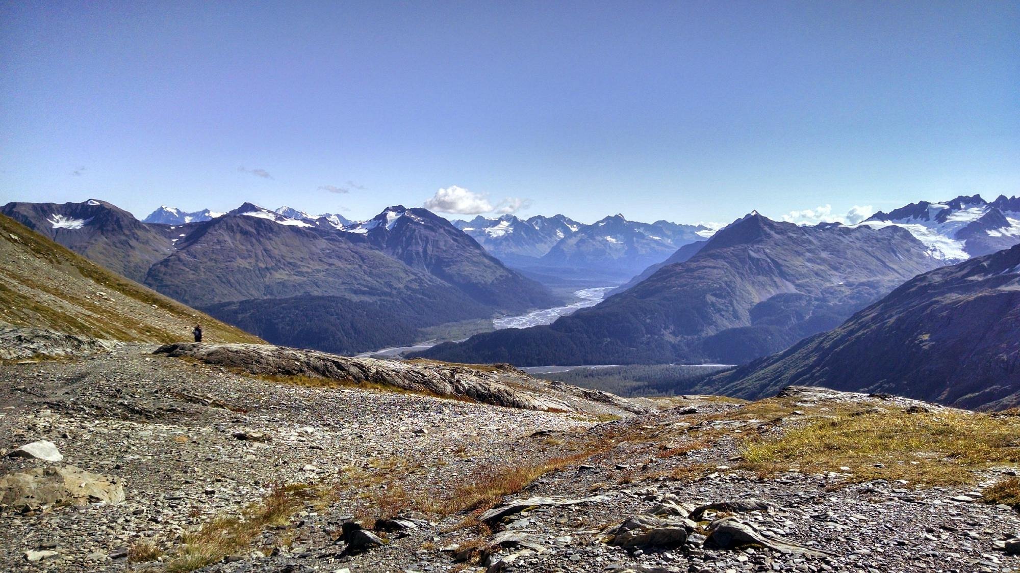
The Harding Icefield Trail offers breathtaking views of vast glaciers, yet its subtler geological features illustrate Alaska’s ongoing transformation. Striated rock surfaces mark areas scraped clean by glacial movement. Lateral moraines align along valley walls, showing where glacial edges once reached. Meltwater channels carve intricate patterns through gravel beds as ice retreats. Newly exposed rock displays fresh coloration and minimal weathering, indicating recent geological change. These features help hikers understand the immense scale and power of glacial evolution across Kenai Fjords, revealing a landscape still actively shaped by ice and climate influences that continue shifting annually.
Bumpass Hell Trail, Lassen Volcanic National Park, California
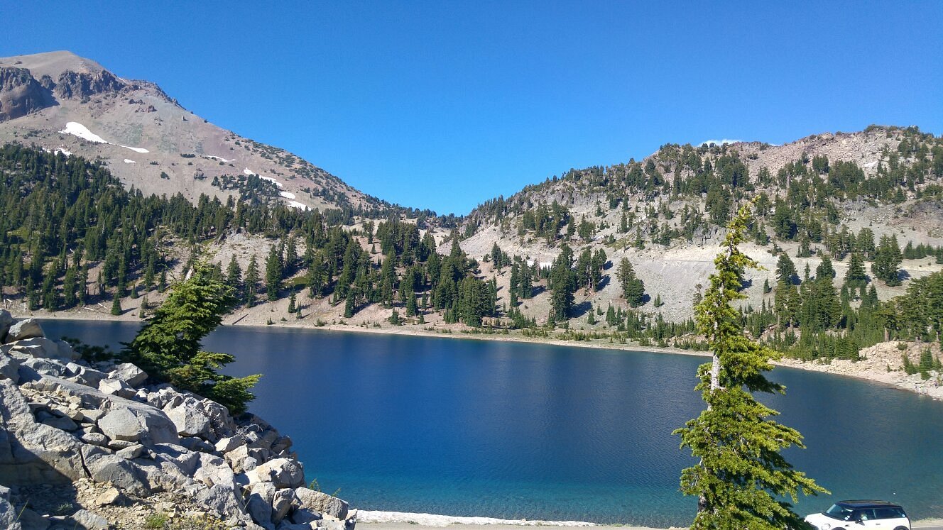
Bumpass Hell contains remarkable hydrothermal formations that hint at Lassen’s volcanic activity. Boiling mud pots, steaming vents, and sulfur-stained earth provide dramatic evidence of geologic heat beneath the surface. Beyond these obvious features, smaller formations such as mineral crusts and cracked clay pans reveal areas where acidic water evaporates and leaves deposits behind. Silica terraces create layered platforms that often go unnoticed by hikers focused on larger thermal features. These subtle geological details highlight the park’s active geothermal environment and offer insight into the chemical and thermal processes at work beneath the terrain, contributing to its distinct volcanic character.
Big Bend National Park South Rim Trail, Texas
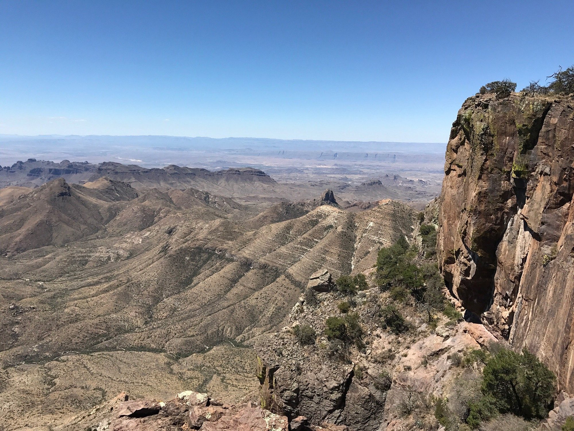
The South Rim Trail in Big Bend features wide desert vistas, but hidden geological oddities lie along the path. Volcanic tuff layers reveal ash deposits from ancient eruptions. Rounded desert pavements form where wind removed fine particles, leaving tightly packed stones on the surface. Split boulders demonstrate thermal expansion, a common process in hot, dry climates where rock heats and cools rapidly. Iron-rich streaks form red patches that highlight mineral oxidation across exposed rock faces. These subtle details help explain how desert conditions sculpt terrain over long periods, revealing geological stories preserved quietly within the rugged landscape while continually reflecting slow natural changes across the region’s varied terrain.
Smith Rock Summit Trail, Smith Rock State Park, Oregon
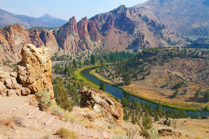
Smith Rock’s Summit Trail showcases stunning basalt and tuff formations, yet many hikers miss the intricate volcanic textures displayed throughout the area. Columnar basalt towers rise in geometric patterns formed as lava cooled and contracted. Welded tuff walls contain compressed ash fused by intense heat. Small fissures reflect tectonic stress, while mineral streaks indicate water movement through porous stone. Observing these patterns reveals the region’s volcanic history and the dramatic forces that shaped Smith Rock’s iconic cliffs. These often-overlooked features enrich the trail experience for those curious about the geological stories embedded in the landscape and its broader volcanic origins.


