
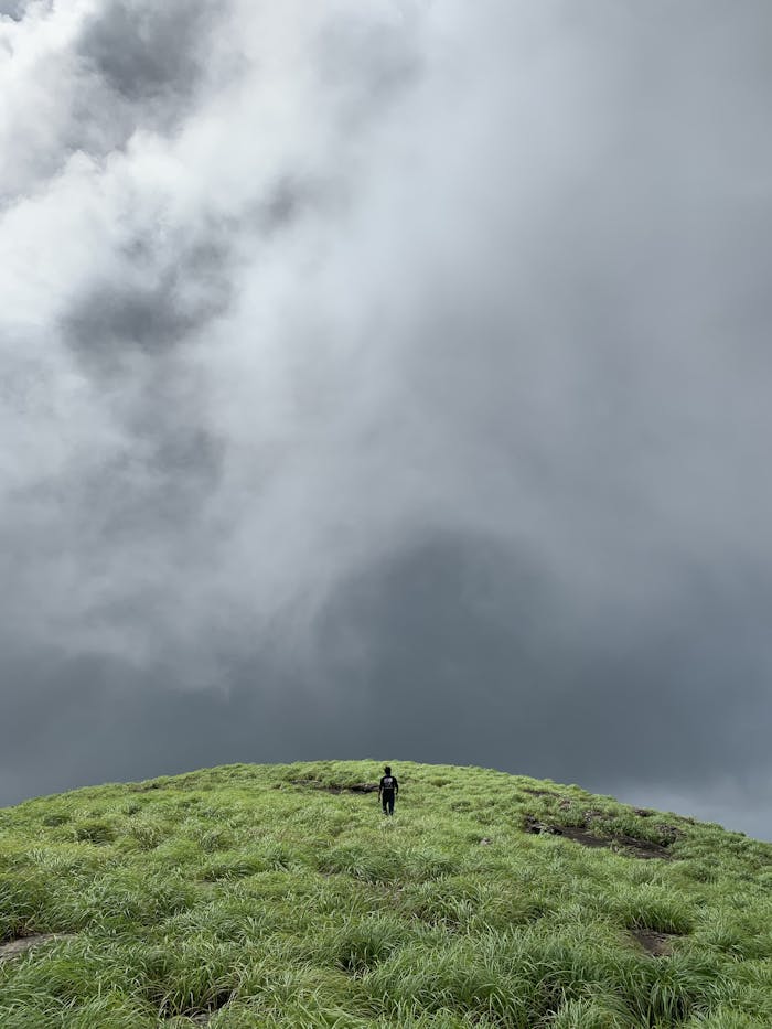
Getting lost rarely starts with a dramatic mistake. More often, it begins with a small assumption, a quick shortcut, or a moment of overconfidence that snowballs once the trail gets faint or the weather turns. These are the navigation errors that trip up capable hikers every year, and knowing them can make the difference between a minor detour and a very long day.
Starting Without Studying the Route
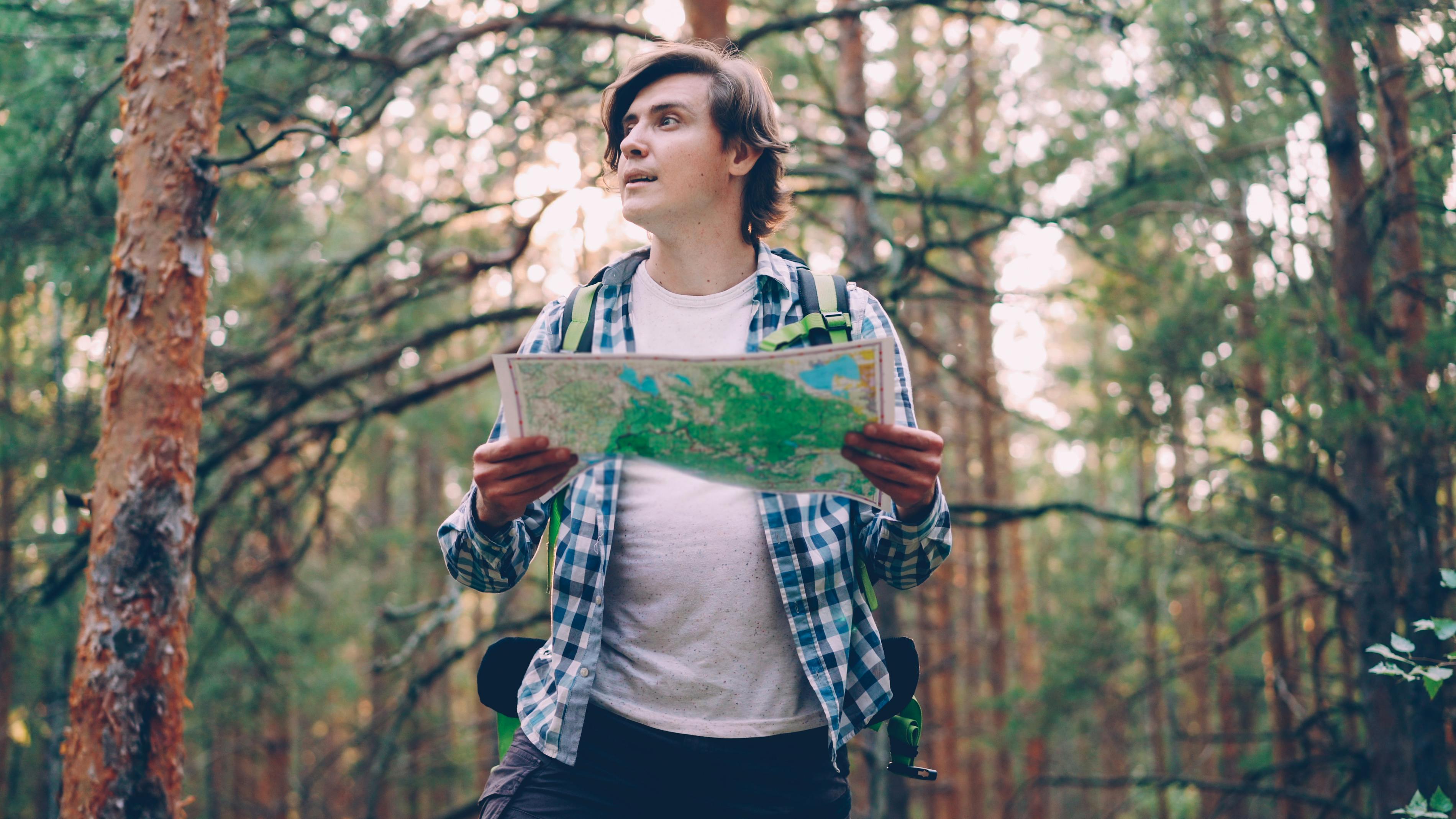
A surprising number of hikers hit the trail with only a vague idea of where they are going. They may know the destination name and mileage, but not the critical details like key junctions, water crossings, bailout points, or where the route becomes easy to miss.
That gap matters once conditions change. A trail that looked simple on a phone screen can feel very different in real terrain, especially when signs are sparse or several social paths branch away from the main route. A few minutes of pre-hike planning often prevents hours of confusion later.
Relying on One App or Device

Phones are useful, but they are not magic. Batteries drain faster in cold weather, screens crack, apps freeze, and service can disappear exactly when a hiker needs reassurance most. Depending on a single device creates a fragile system with no margin for error.
Experienced outdoors people usually build in backups. That can mean a downloaded map, a paper map, a compass, or a second power source. Confidence becomes a problem when someone assumes their phone will solve every navigation issue, then discovers too late that technology is only as good as its charge and its signal.
Skipping the Paper Map

Paper maps feel old-school until they become the most dependable thing in the pack. Unlike a phone, they do not need power, updates, or reception, and they give a bigger-picture view of ridges, drainages, and alternate routes that small screens often hide.
Hikers who skip them can lose track of the landscape around them. Without that broader context, it is easier to mistake one valley for another or commit to the wrong trail because it seems to point in the right direction. A map is not just backup gear. It is a way to understand the terrain before it starts making decisions for you.
Not Knowing How to Use a Compass

Packing a compass is smart, but carrying one without understanding it offers more comfort than real help. In stressful moments, hikers often realize they are unsure how to take a bearing, orient a map, or use the needle to confirm direction.
That uncertainty gets expensive when visibility drops or the trail disappears. A compass is simple, but only after practice. People who feel too experienced to review basic skills can end up making very confident wrong turns, convinced they are correcting their course when they are actually drifting farther from it.
Missing the Turn Because the Trail Seems Obvious
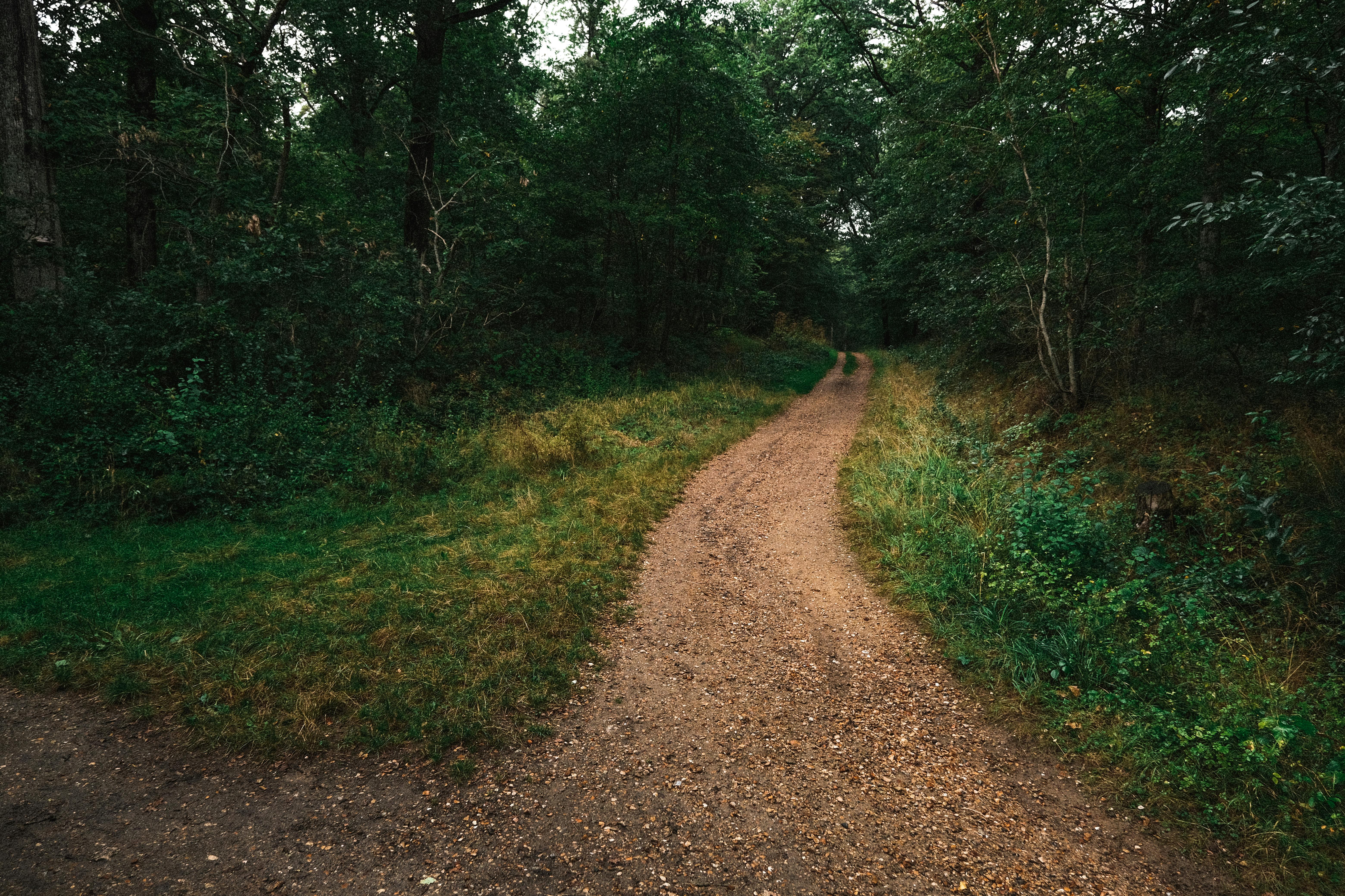
Many wrong-route stories begin at an unremarkable junction. The path ahead looks wider, cleaner, or more traveled, so hikers continue without checking the map or confirming signage. It feels efficient in the moment, which is exactly why it is so easy to do.
Trails can be deceptive. The most obvious path may lead to a viewpoint, a campsite, a game trail, or an entirely different drainage. Confident hikers are especially vulnerable because they trust their read of the terrain. A quick stop at every key junction may feel unnecessary, but it is often what keeps a routine hike from turning into a rescue call.
Following Social Trails and Footpaths
Unofficial paths are everywhere, especially near popular hikes. They branch off toward photo spots, shortcuts, campsites, or simply where repeated footsteps have worn a line into the ground. From a distance, many look legitimate enough to fool even seasoned hikers.
The trouble is that social trails rarely go where you think they do. They can fade into brush, cliff out, or loop into terrain that makes reorientation much harder. Once someone has invested time and effort on the wrong path, they often keep going longer than they should, hoping it will reconnect. That hope is one of the most common ingredients in getting lost.
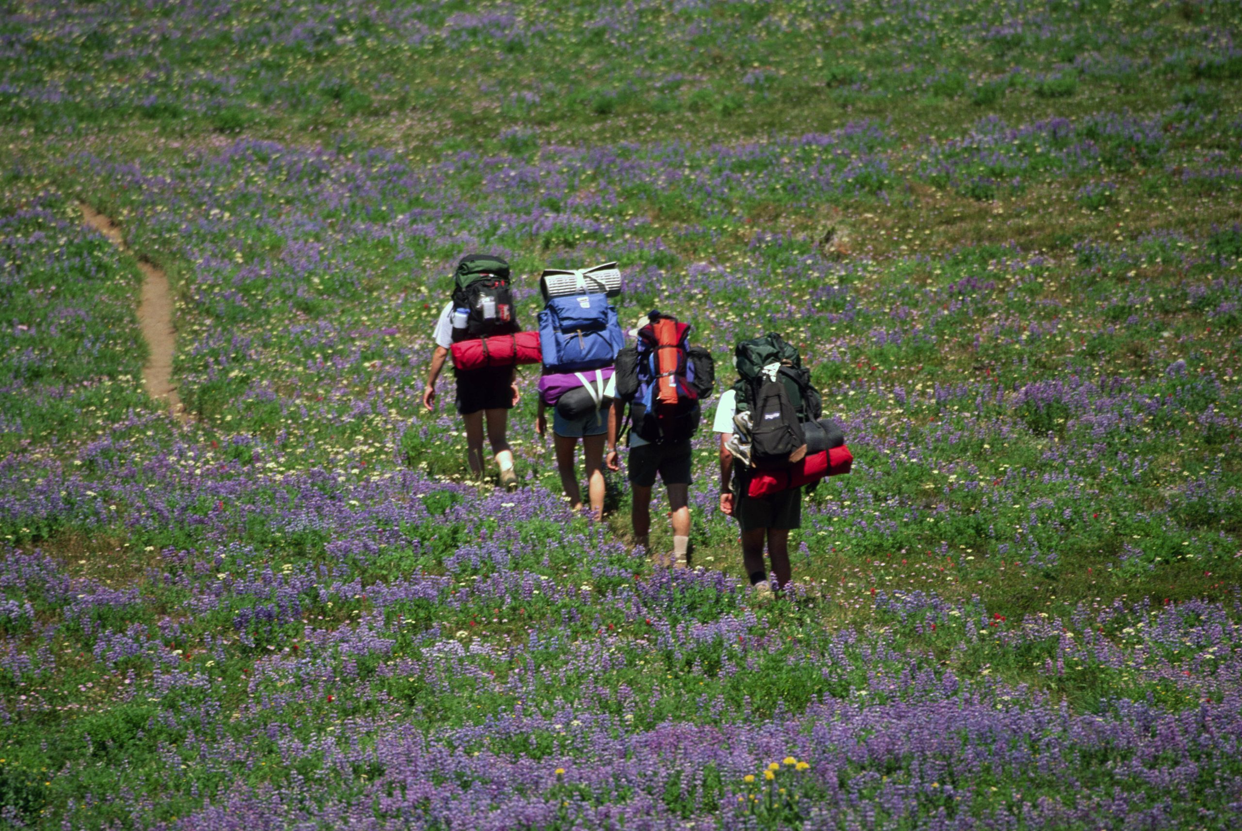
Ignoring Landmarks on the Way In
Navigation is easier when hikers build a mental picture as they move. A distinct boulder field, a creek crossing, a burned hillside, or a saddle on the ridge can all become reference points that make the return route far more obvious.
People who rush in without noticing those details often struggle on the way out, especially in late-day light when everything looks slightly different. Familiar terrain can suddenly feel strange when the sun angle changes and fatigue sets in. Paying attention to landmarks is not old-fashioned trail wisdom. It is one of the easiest ways to keep your location anchored all day.
Trusting Memory Instead of Checking Position

Memory is far less reliable outdoors than most people think. A hiker may remember the route from last year, from a different season, or from a trip report read quickly over breakfast. That recollection can feel solid right up until the terrain stops matching the story in their head.
The safest navigators keep verifying where they are rather than where they assume they should be. That means checking the map at regular intervals and matching it to what they see around them. Small errors are easy to correct early. Once they compound over miles, even confident hikers can become badly disoriented.
Pushing On in Bad Weather or Low Visibility
Fog, rain, snow, and wildfire smoke can erase the visual clues hikers depend on without warning. Cairns vanish, ridgelines blur, and familiar intersections start to look alike. The route may still technically be there, but it no longer reads the same way.
This is where overconfidence becomes dangerous. Many people keep moving because stopping feels like failure or delay. In reality, pressing ahead when visibility collapses often turns a manageable situation into a navigation mess. Sometimes the smartest move is to pause, reassess, and wait for conditions to improve before making the next decision.
Leaving the Trail for a Shortcut
Shortcuts are appealing because they promise to save time, energy, or both. A hiker sees the parking lot below, a switchback they think they can cut, or a slope that looks straightforward from above. It seems harmless, especially late in the day when everyone wants to be done.
Off-trail terrain has a way of changing character fast. What looked open can turn into thick brush, loose rock, steep gullies, or cliffs hidden from view. Once off the main path, people also lose signs, tread, and the predictability that helps them stay oriented. The shortest line on the landscape is often the fastest path to getting turned around.
Not Turning Around Soon Enough
One of the clearest signs of trouble is that quiet feeling that something is off. Maybe the trail has been missing longer than expected, the landmarks do not line up, or the route seems harder than the map suggested. Too many hikers ignore that instinct because they expect clarity to return around the next bend.
It usually does not. The farther they go, the more distance and elevation they add between themselves and the last known point. Turning around early can bruise the ego, but it often solves the problem quickly. Waiting until darkness, weather, or fatigue arrives makes every correction more complicated.
Failing to Track Time and Daylight

Navigation mistakes get much harder to fix when the light starts fading. Distances feel longer on the return, terrain looks unfamiliar, and rushed decisions become more tempting. Hikers who do not keep an eye on time often realize too late that they have left themselves no buffer.
Daylight is part of route planning, not an afterthought. A turnaround time matters because it forces an honest check on pace, conditions, and how much margin remains. Every year, capable hikers stay out longer than intended, then find themselves trying to solve a navigation problem in the dark, when even easy trails can become surprisingly confusing.


