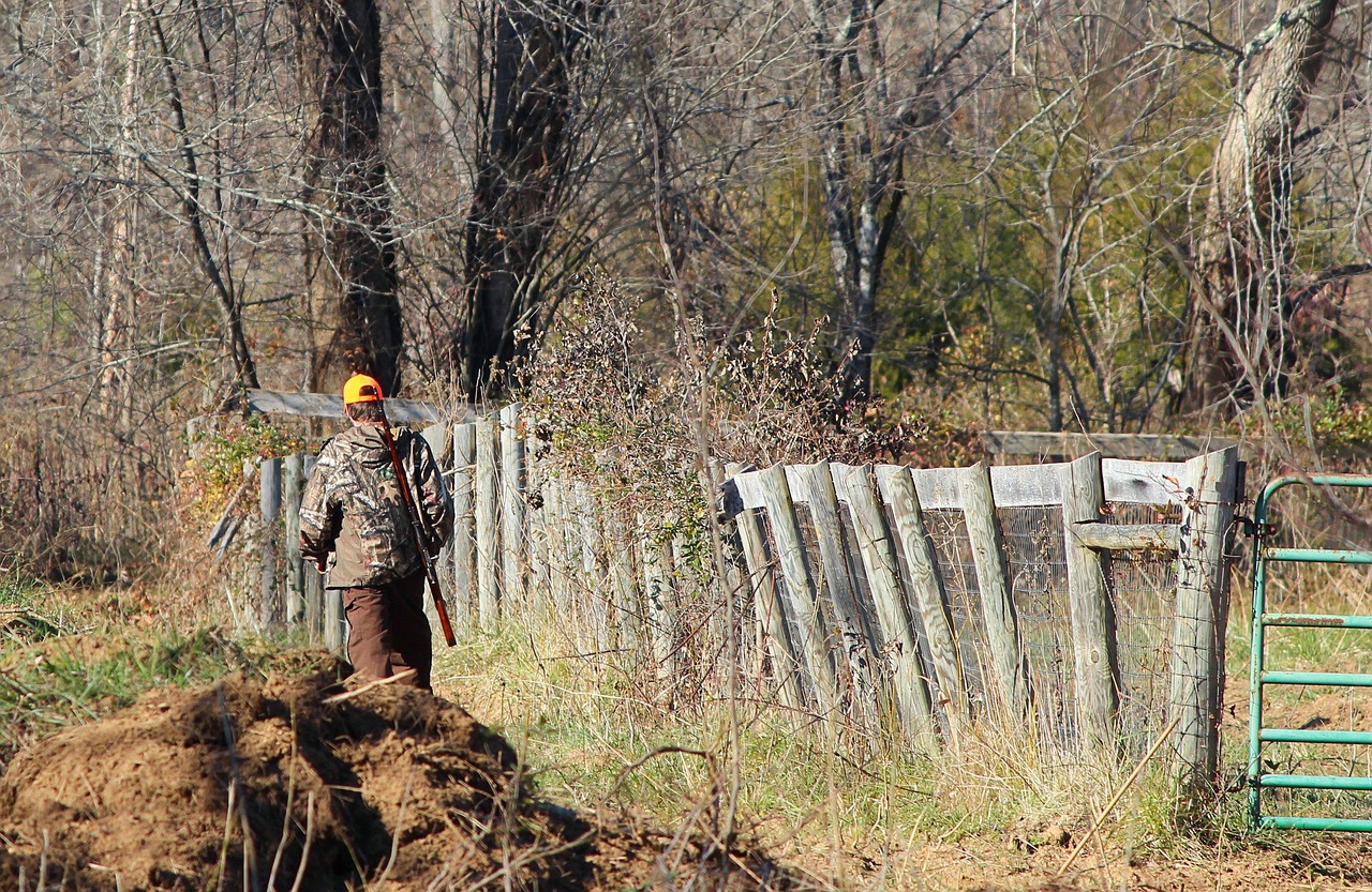
A GPS device can show a hunter’s location, record a route, and point toward a destination, but it cannot remove every risk of getting lost outdoors. Dense forests, changing weather, drained batteries, and poor decisions can quickly turn a familiar hunting trip into a confusing experience. Even experienced hunters can struggle when the landscape looks different on the return journey or their saved route no longer makes sense. Understanding these eight common mistakes helps hunters prepare better, recognize warning signs early, and find their way back more safely.
1. Trusting GPS Without Learning the Terrain
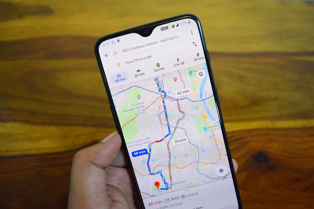
A GPS receiver can display coordinates within seconds, but those numbers mean little if a hunter cannot relate them to the surrounding landscape. A marked position does not explain which ridge is steepest, where a creek becomes impassable, or whether a direct route crosses a deep ravine. For example, a destination only 500 meters away may require a much longer detour. Hunters should study a topographic map before leaving, identify major landmarks, and understand contour lines. Knowing the terrain provides essential context when electronic directions become confusing or impractical.
2. Losing Battery Power at the Worst Moment
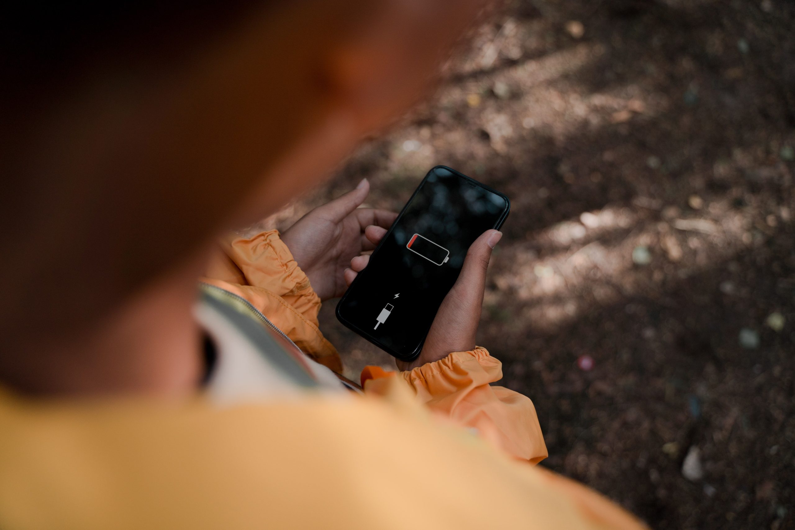
Cold temperatures, an aging battery, constant screen use, and weak reception can reduce a phone’s useful operating time. A hunter who begins with 80% battery may have far less power available after hours of navigation, photography, and communication. Battery performance varies by device and conditions, so there is no dependable universal runtime. Before a trip, hunters should download maps, charge devices fully, carry a suitable power bank, and enable power-saving settings when practical. A GPS that shuts down before the return journey leaves the hunter without that electronic reference.
3. Relying on Maps That Were Never Downloaded
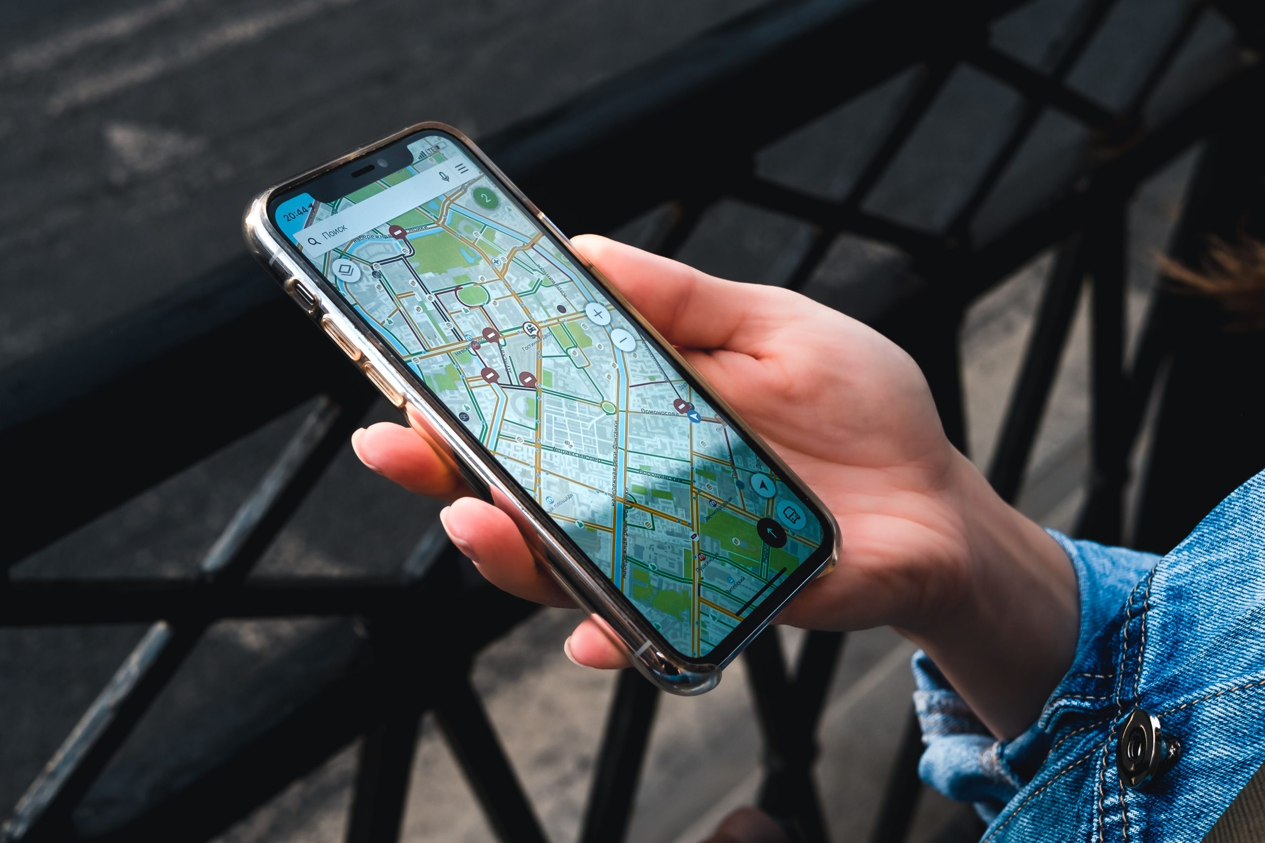
A map that works at home may fail in remote hunting country where cellular coverage disappears. Some apps show only a blank screen or limited detail when the phone cannot load map tiles, leaving trails and terrain hard to identify. Before departure, download the full hunting area for offline use and open it with the phone in airplane mode to confirm it works. Check that the saved map includes your route and surrounding terrain, not just a pin. Even a 2-kilometer gap in downloaded coverage can matter when you need to choose a safe way back first.
4. Forgetting That GPS Shows Position, Not Safe Passage
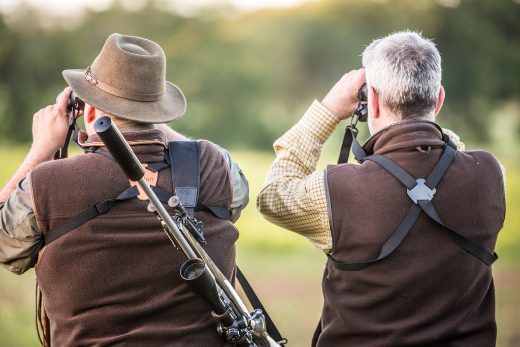
A navigation app may draw a straight line to camp, a vehicle, or a waypoint without knowing whether the route crosses cliffs, thick brush, private land, or a flooded stream. The shortest line is not always the safest path. A hunter may see a destination 700 meters away and start descending, only to meet an obstacle that cannot be crossed safely. Review terrain and property boundaries, follow known trails where possible, and turn back when conditions look hazardous. Treat every suggested route as information to assess, not an instruction that must be followed.
5. Getting Turned Around on the Return Trip
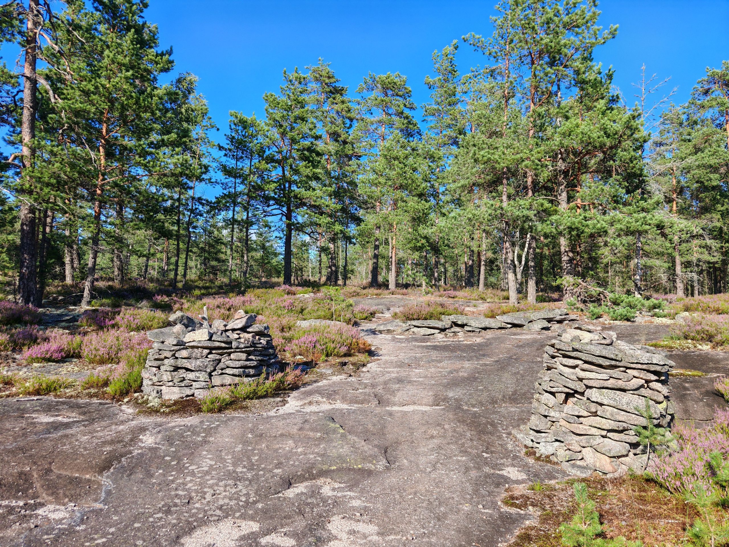
Landmarks can look completely different when viewed from the opposite direction, especially in dense woods where trees hide distant features. A hunter may remember passing a distinctive rock or forked tree but fail to recognize it on the way back. After walking for 90 minutes, even a small wrong turn can create a confusing chain of choices. Save waypoints at the vehicle, camp, trail junctions, and important turns. Pause periodically to look behind you and note how the return route should appear. Building a mental picture early is easier than reconstructing it when tired.
6. Ignoring Weather, Darkness, and Falling Visibility
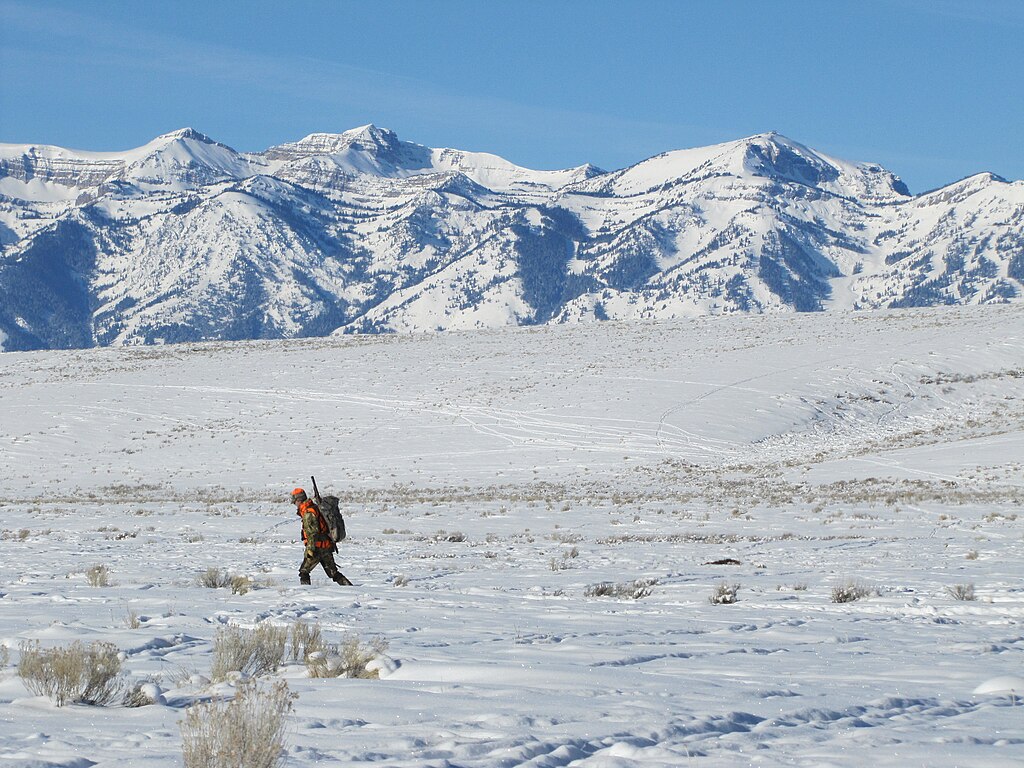
Fog, heavy rain, snow, and fading daylight can erase landmarks and make familiar ground difficult to recognize. A trail visible at noon may be hard to follow 30 minutes before sunset, while wet leaves and low cloud can obscure ridgelines. GPS coordinates may remain useful, but the hunter still has to move safely across the terrain. Check the forecast, set a firm turnaround time, and carry a headlamp with spare batteries. If visibility drops or progress slows, stop before darkness makes every decision harder. A planned early return is safer than racing the last light.
7. Failing to Mark the Starting Point and Key Turns
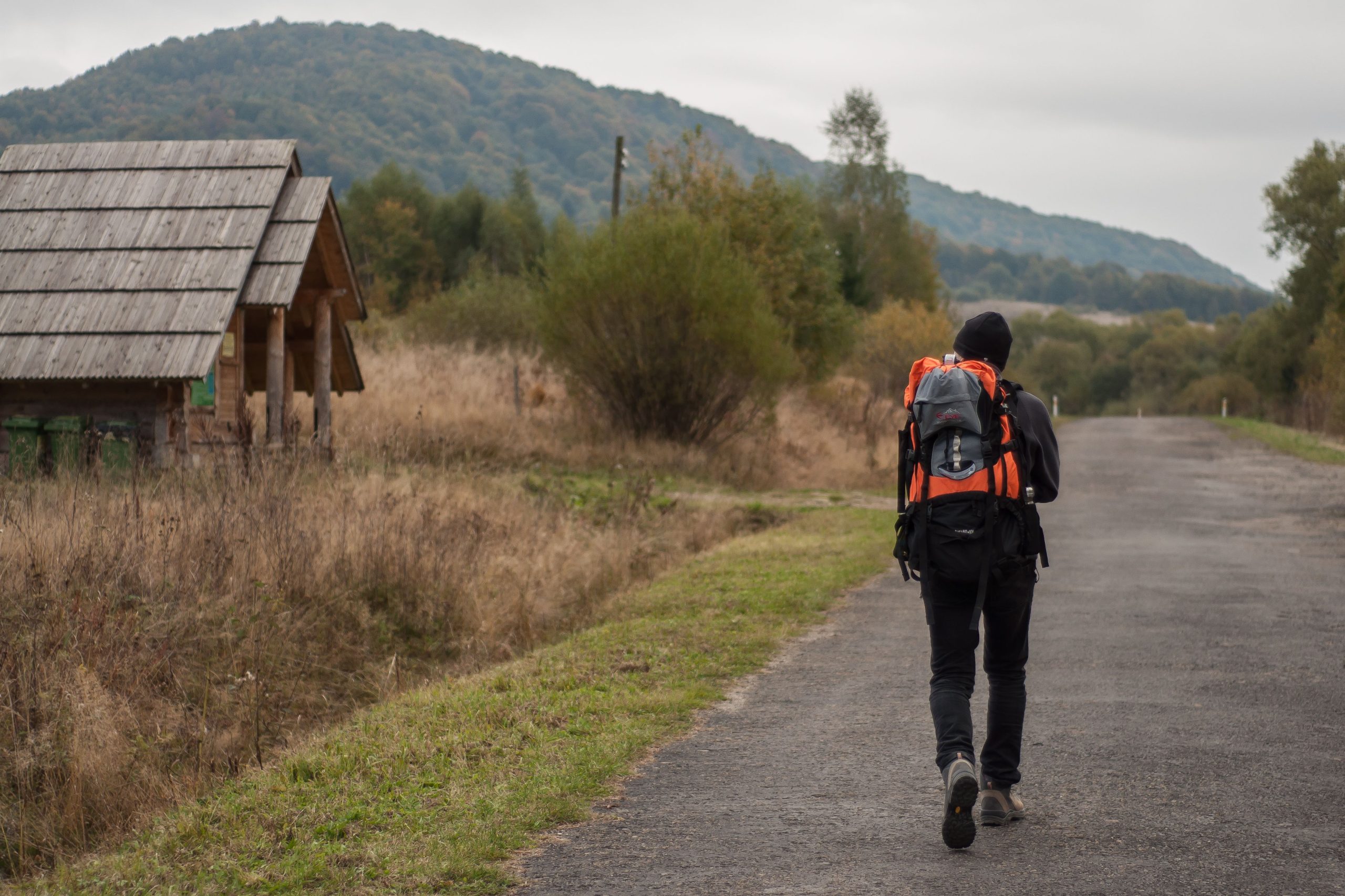
Some hunters begin walking before saving the parking spot, trailhead, or camp as a waypoint. Later, the map may show their current position accurately but offer no clear record of where the trip began. In thick timber, several pullouts or trail junctions can look nearly identical. Mark the starting point before moving and add waypoints at major turns, roughly every 15 to 30 minutes when the route is complex. Give each marker a clear name, such as “truck” or “north fork.” These simple notes can prevent guesswork when returning under pressure early.
8. Continuing to Walk After Becoming Disoriented
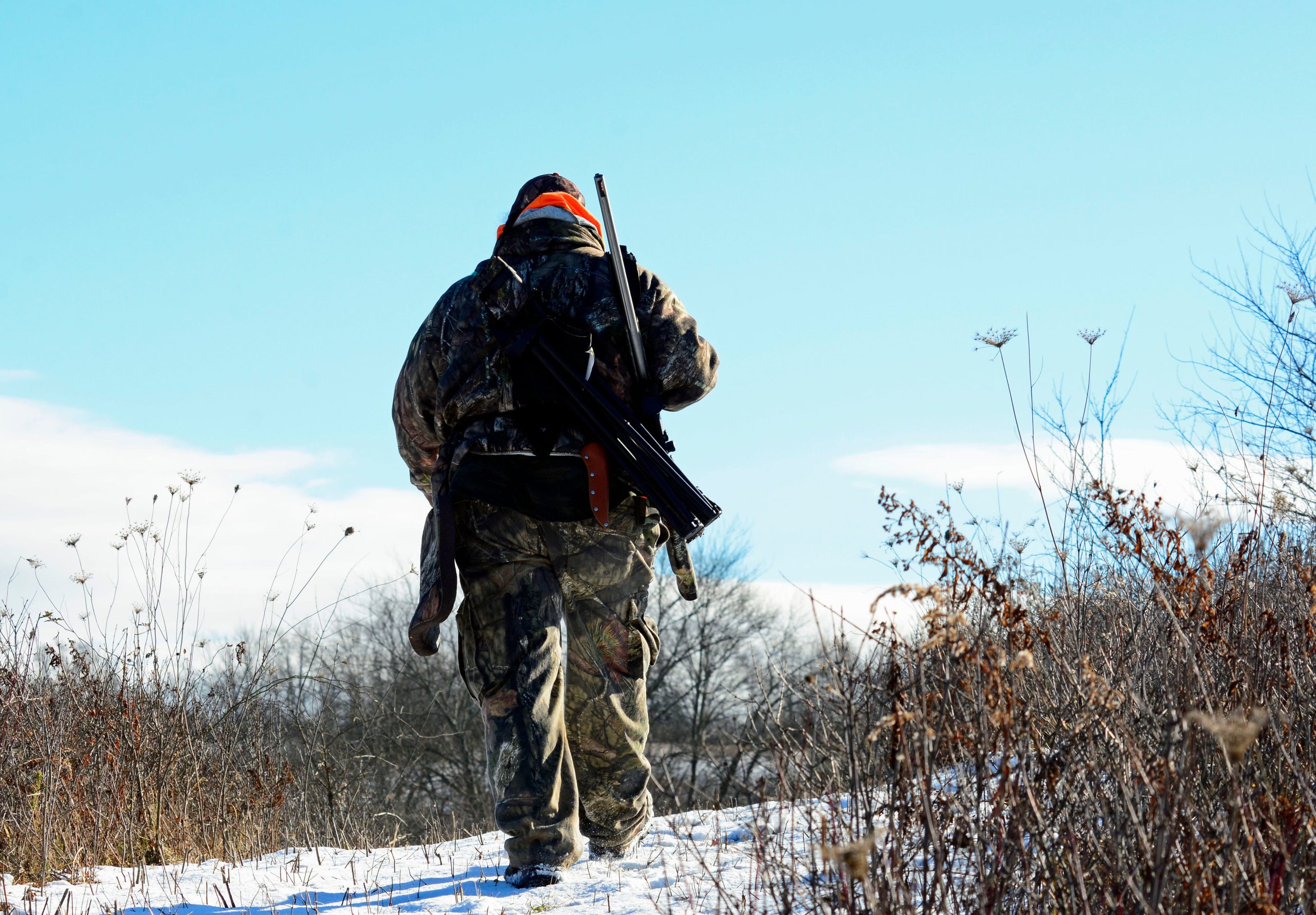
One of the costliest mistakes is moving faster when the route no longer makes sense. Each unplanned turn can carry a hunter farther from familiar ground and make the GPS track harder to interpret. If you cannot identify your position or the next safe landmark, stop in a safe place, check the map and compass, and retrace steps only when the route is clear. Tell a trusted person your plan and expected return time before leaving. If you remain lost, contact emergency services when possible, conserve phone power, stay visible, and avoid wandering in search of a shortcut.