
Across the country, historic military roads have evolved into scenic hiking trails that blend natural beauty with stories from earlier eras. These routes once carried soldiers, supplies, and critical messages across challenging terrain, and now invite a slower, more reflective pace. Each path reveals traces of its past through changing landscapes and preserved landmarks, offering a meaningful way to experience outdoor exploration while connecting with the nation’s history in a tangible and engaging way.
Old Military Road Trail, Wisconsin
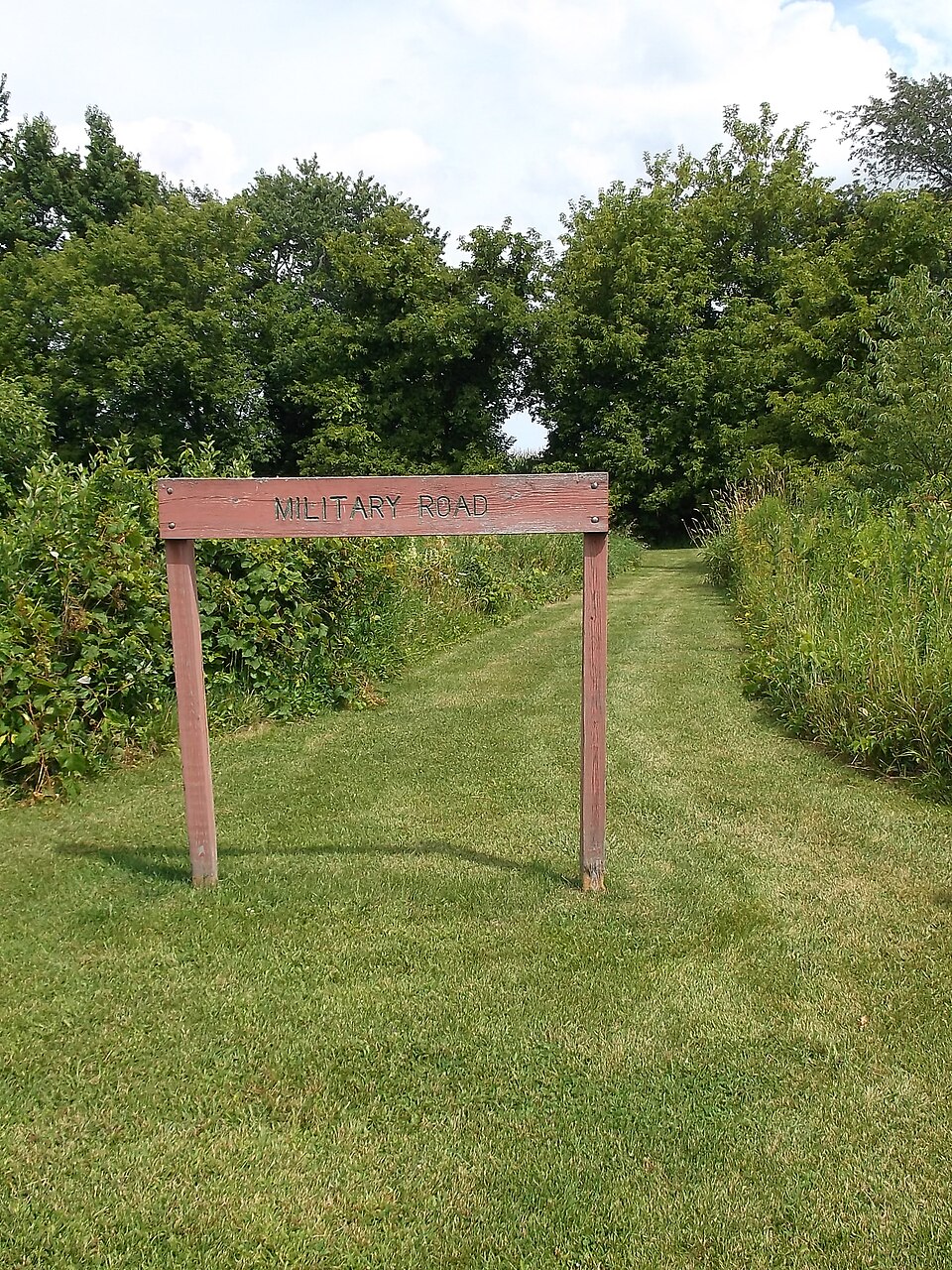
This historic route once linked frontier forts across northern Wisconsin and now winds through forests, wetlands, and quiet stretches of wilderness. The gentle terrain reflects its original purpose as a practical supply corridor. Visitors encounter interpretive signs and remnants of early travel routes that highlight the region’s military past. The trail’s peaceful atmosphere contrasts with the demanding journeys once made along the same path.
Fort Davis Historic Road, Texas
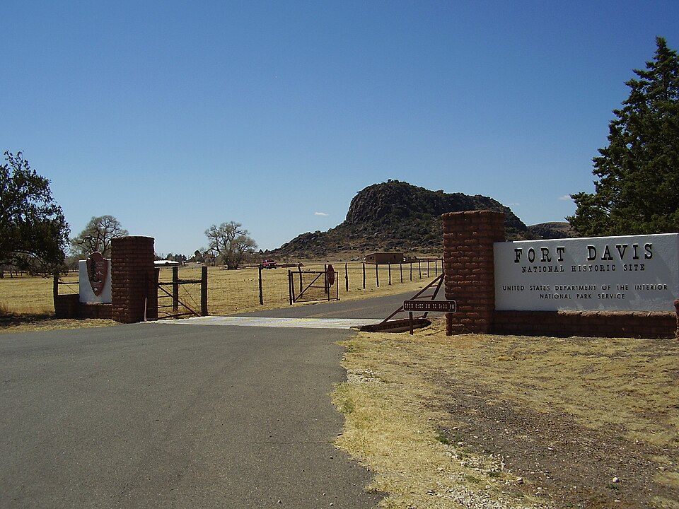
The road leading to Fort Davis passes through rugged desert terrain shaped by centuries of wind and sun. Once vital to troop movement in the West, it now supports hikers exploring rocky canyons and open plains. Views of distant mountains and scattered stone formations provide a sense of the isolation early soldiers faced. The landscape offers both challenge and insight into historic frontier life.
Fort Jefferson Military Road, Florida

This former supply road connected key sites within the Florida Keys and now offers a scenic blend of mangroves, beaches, and shallow coastal waters. Boardwalks trace parts of the original corridor, while sandy stretches highlight the region’s tropical character. Wildlife sightings and preserved structures create a layered experience that reflects both natural and historic significance.
Blue Ridge Military Road, North Carolina
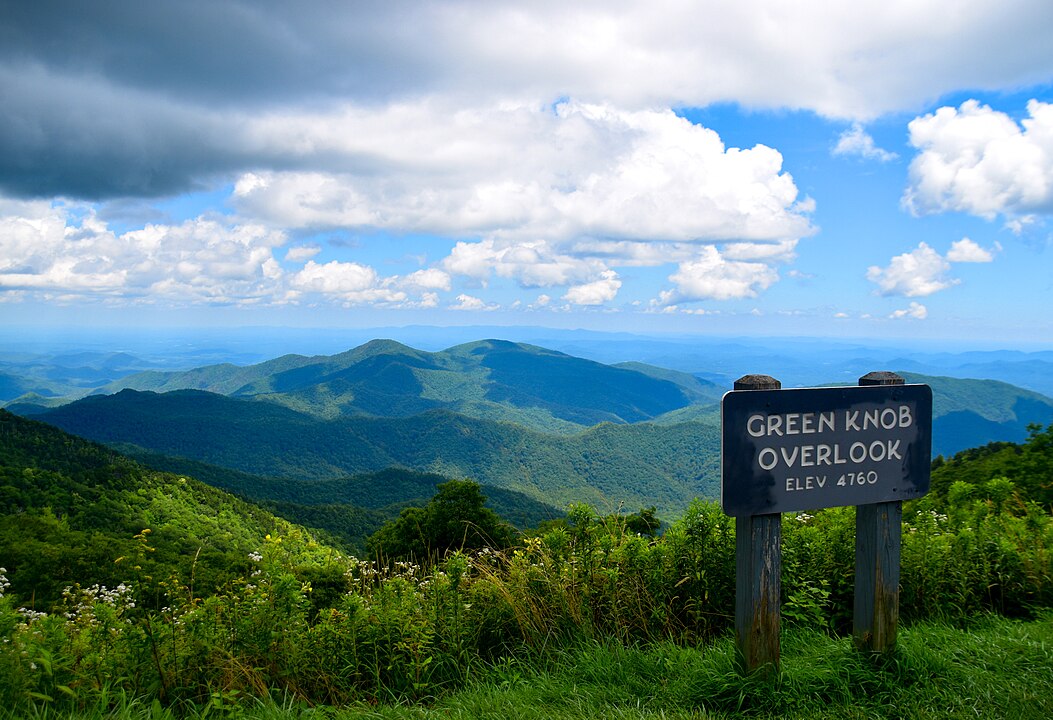
Winding through the Blue Ridge Mountains, this road once carried troops across steep ridges and dense forests. Today, the modern trail showcases panoramic overlooks, shaded woodland, and open meadows. Elevation changes reveal how challenging the original route must have been. Historical notes along the way help illustrate the road’s long-standing role in regional defense and travel.
Military Ridge State Trail, Wisconsin
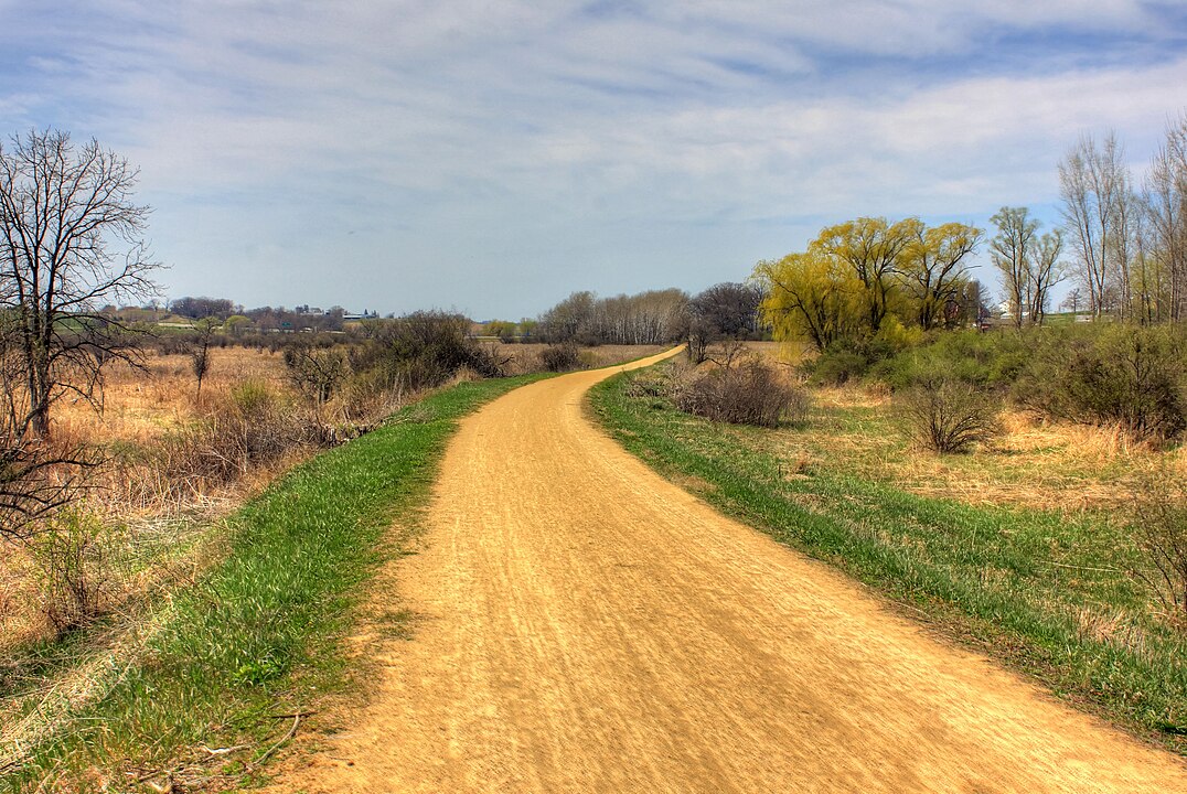
This long, gentle trail follows a historic military route that once linked forts and early settlements. Its broad, even grade reflects the engineering priorities of the time. Rolling prairies, farmland, and small towns line the current path, creating a calm and accessible outdoor corridor. Interpretive displays highlight the road’s contributions to regional development and transportation.
Fort Abercrombie Military Trail, Minnesota
Once used to connect frontier communities to Fort Abercrombie, this route now leads through prairies, river areas, and pockets of forest. The landscape retains much of its original character, providing context for the events that once unfolded here. Historical markers document conflicts, supply lines, and early settlement patterns that shaped the region’s identity.
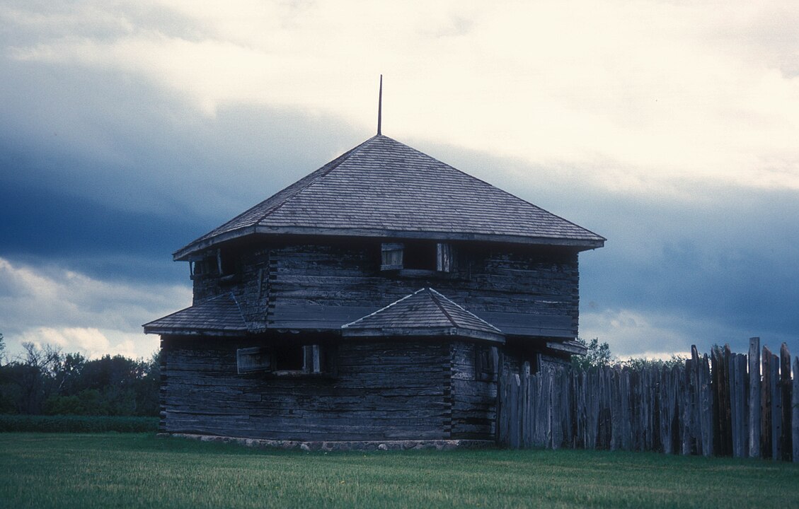
Fort Towson Military Road, Oklahoma
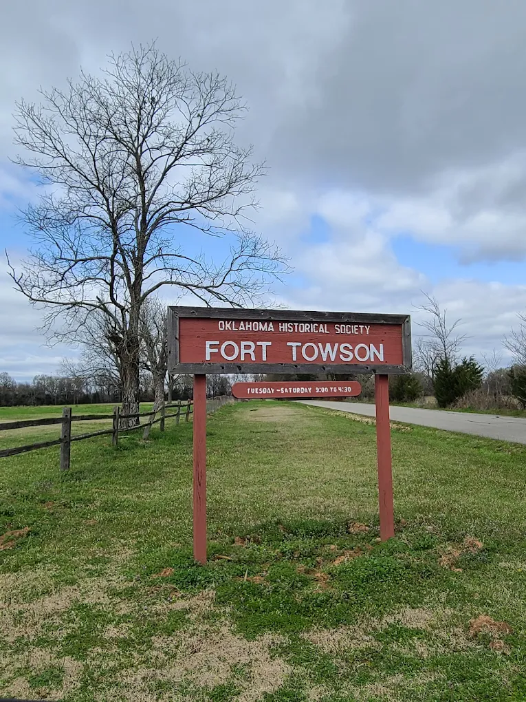
Originally built to connect forts in Indian Territory, this road now supports a quiet hiking route framed by hardwood trees and open clearings. Sections of the original alignment remain visible, offering glimpses into nineteenth-century military logistics. Nearby landmarks referenced in early maps add authenticity to the experience. The peaceful setting contrasts with the strategic importance the road once carried.
Camp Hale Military Route, Colorado
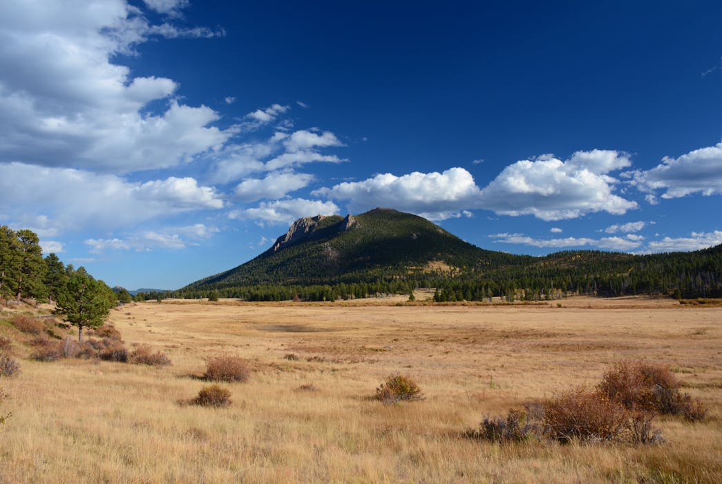
Located in the Rockies, this former training route served soldiers preparing for mountain warfare during World War II. The trail crosses alpine meadows and forested slopes surrounded by dramatic peaks. Elevation shifts and historic remnants provide insight into the rigorous training once held here. The scenery adds a sense of scale to the challenges faced during wartime preparation.
Fort Boise Military Trail, Idaho
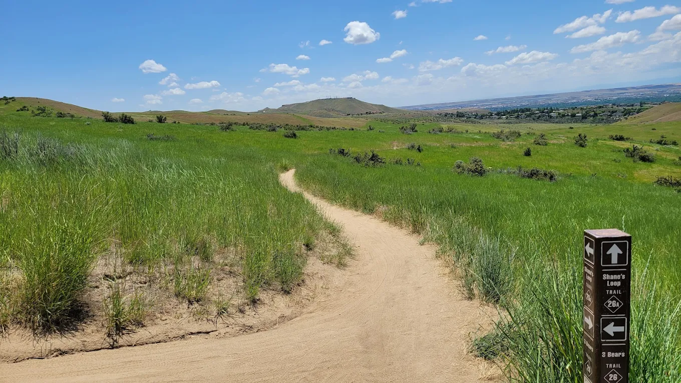
This historic corridor once supported supply movement through frontier Idaho and now passes through sagebrush valleys, soft hills, and open river views. The landscape retains a sense of wide, uninterrupted space that mirrors early travel conditions. Remnants of old routes and documented waypoints help illustrate the road’s practical role in connecting remote outposts.
Fort Benton Military Road, Montana
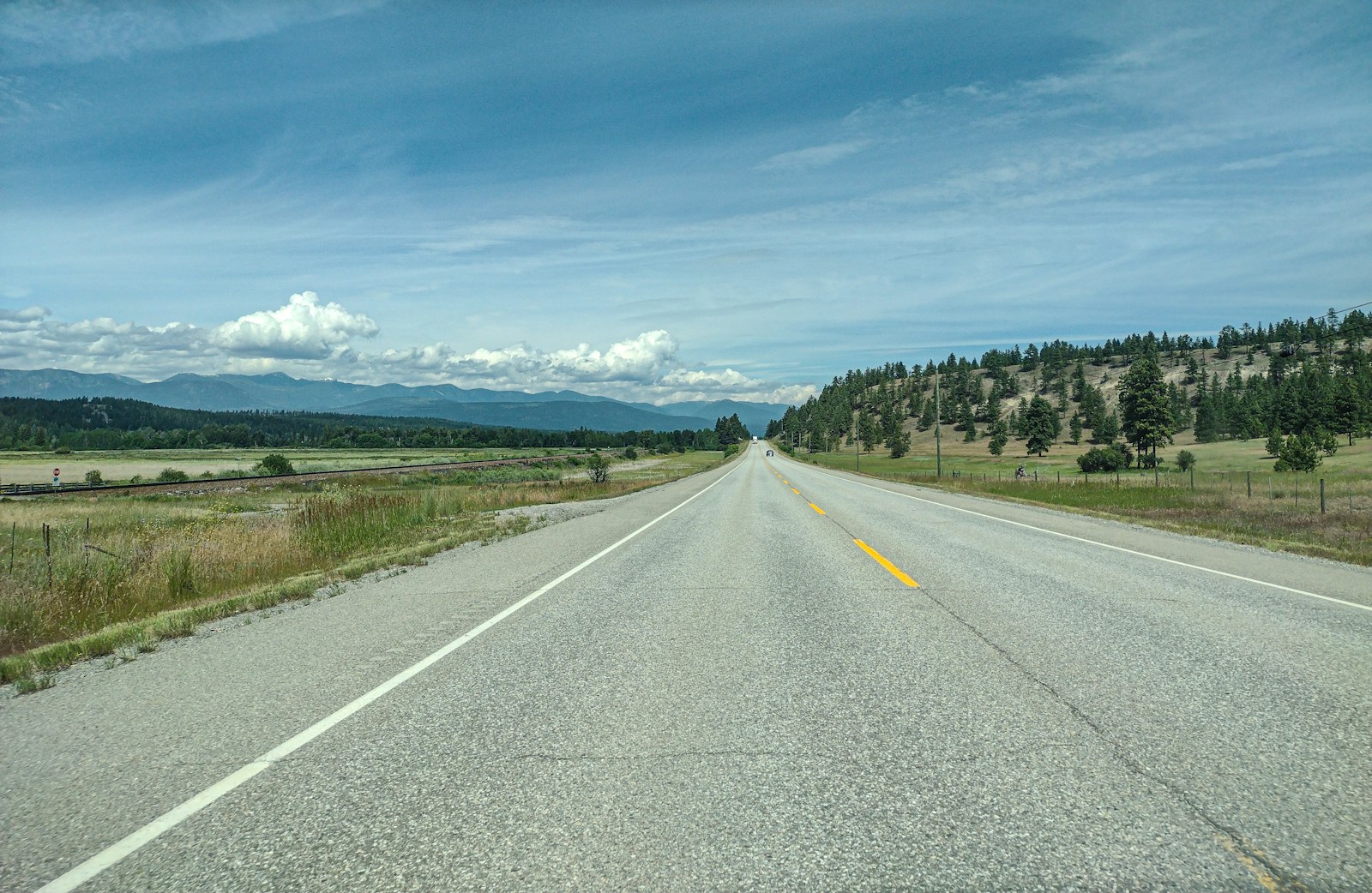
Tracing the movement of troops and traders across Montana’s plains, this trail showcases vast grasslands and sweeping mountain horizons. The open terrain highlights the scale of historic journeys made along the original road. Interpretive signs explain the route’s influence on settlement patterns and regional security. The stretch offers an immersive combination of scenery and history.
Fort Churchill Wagon Road, Nevada
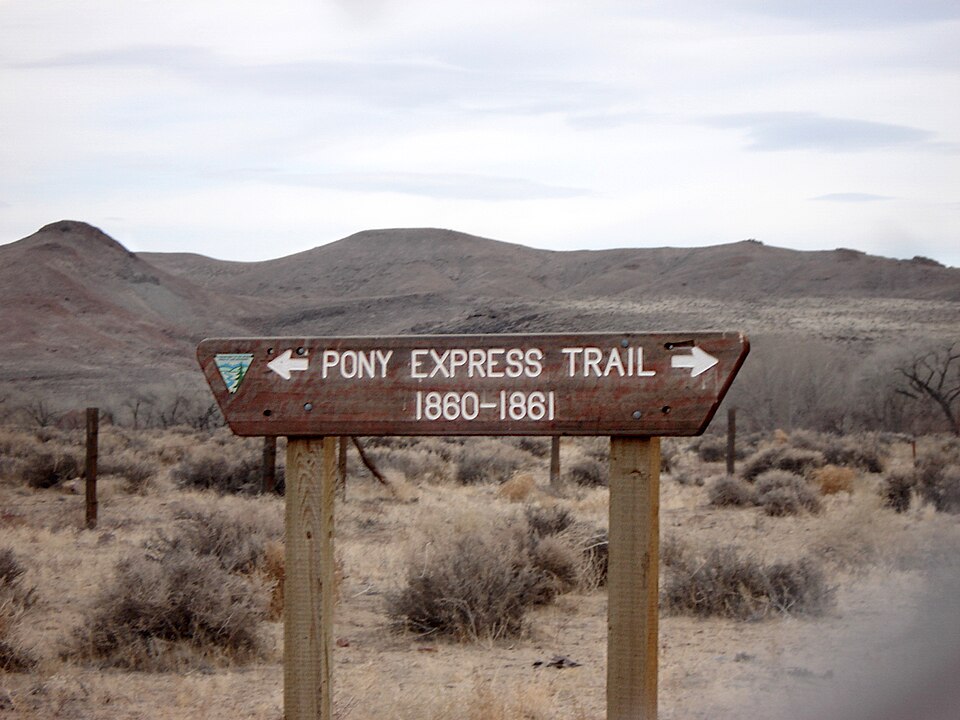
This sandy, desert-based military road once carried supply wagons through Nevada’s harsh terrain. The modern trail reveals sagebrush flats, rock outcrops, and wagon ruts still visible in certain sections. Harsh weather and isolation once shaped the experiences of travelers here, and the landscape continues to reflect that rugged history.
Fort Yuma Military Route, California
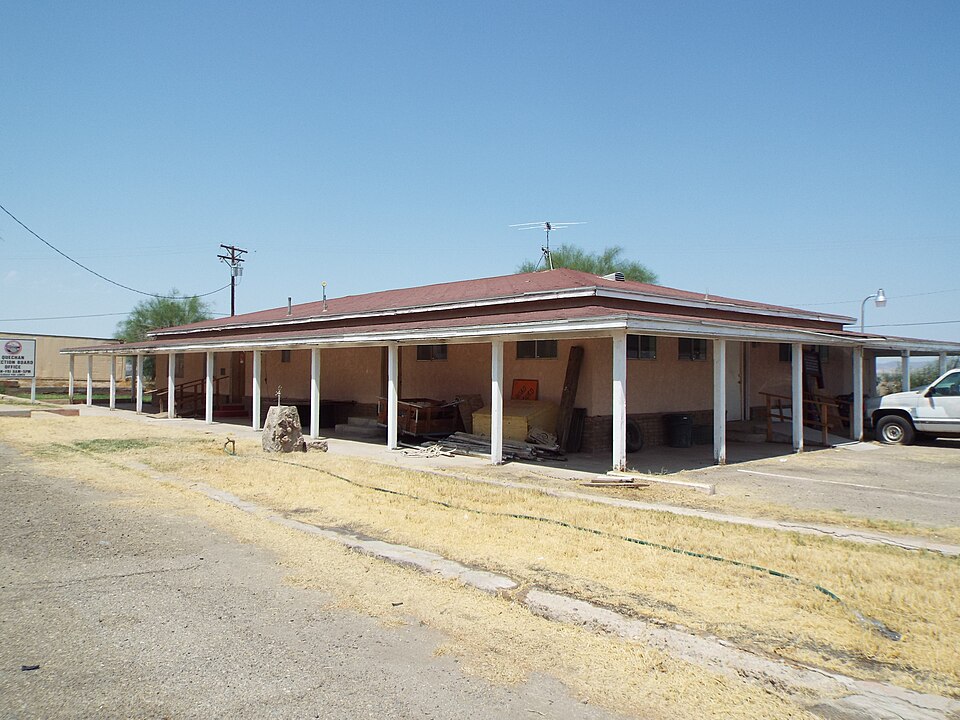
Located near California’s southern border, this historic route linked key river crossings and military outposts. The trail now features desert washes, open vistas, and remnants of encampments set against sunny, expansive terrain. The environment highlights the resilience required to navigate the region in earlier times. It remains a compelling blend of cultural heritage and desert beauty.


