
The old mystery of public land is fading fast. In its place, we have satellite layers, offline maps, and an outdoor culture that can find almost anything with a few taps.
The promise of digital access

Mapping technology did not appear out of nowhere to spoil some perfect backcountry past. It solved real problems, and some of those problems were serious. For decades, ordinary campers, hunters, anglers, and hikers had to juggle paper maps, county plat books, ranger-district handouts, and local knowledge just to figure out where public land began and private land ended.
That confusion still matters because a wrong turn on a two-track road is not just inconvenient. It can mean trespassing, vehicle damage, a confrontation with a landowner, or a long walk back after losing the route. According to the Bureau of Land Management, its new interactive access map was released in December 2024 as part of the MAPLand Act effort to digitize legal public access points to federal land by April 2026. The agency also says it manages about 245 million acres, mostly in the West, so the scale of the navigation problem is enormous.
Private apps moved even faster than government agencies. onX built a huge audience by showing public-private boundaries in real time, while AllTrails expanded from simple route discovery into a public-lands program designed to help land managers communicate safety and trail conditions. AllTrails said in 2024 that Olympic National Park saw a 66% drop in search-and-rescue-related trail incidents after partnering with the platform. That alone is enough to prove that digital maps are not just convenience tools. They can be a safety infrastructure.
Why do people think the experience feels worse?

The complaint is easy to understand. If a place once required years of trial and error, and now an app can guide anyone to the same ridge, creek crossing, or dispersed-camping corridor, it feels like something valuable has been flattened. The work of discovery used to act as a filter. Technology lowers that filter.
Hunters and anglers have been especially blunt about this change. Outdoor Life has described what many call the “onX effect,” where precise land-boundary tools and saved waypoints make hidden public spots far easier to reach, including places that once functioned as informal refuges because they were simply hard to identify. The resentment is not always about elitism. Sometimes it is about pace. A place can absorb a slow trickle of self-taught users better than a sudden wave of app-enabled ones.
There is also a psychological shift. When every overlook, lake, and legal campsite appears as a pin, users begin to experience land as a menu rather than a landscape. The trip becomes more transactional. You are not reading terrain as much as confirming that terrain matches your screen. That changes how people move, how long they stay, and what they expect to find when they arrive.
Crowding was already rising, and maps amplify it

It would be too convenient to blame mapping apps for every crowded trailhead and dusty dispersed camping loop. Demand for outdoor recreation has been rising across the board. The National Park Service reported more than 323 million recreation visits in 2025, with 26 parks setting new visitation records, and federal interagency data show sustained heavy recreation use across public lands more broadly.
What maps do is accelerate distribution. They reduce uncertainty, which means more people are willing to try new places, farther from home, with less prior experience. That sounds good until many of those users converge on the same “known” pullout, road segment, or alpine basin because the app surfaces it, reviews it, or confirms it is legal and drivable.
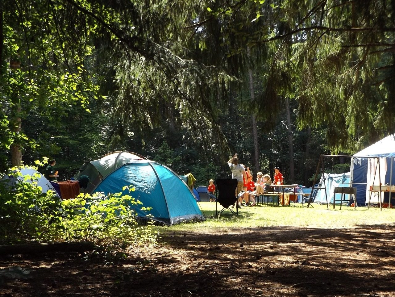
Dispersed camping shows the tension clearly. onX Offroad markets a dispersed camping layer using USFS-verified data, and newer camping platforms now advertise downloadable official road and boundary data for off-grid stays. At the same time, Forest Service and BLM planning documents increasingly discuss resource damage, user conflicts, and the need to designate or tighten management in high-use dispersed camping areas. In other words, digital clarity is helping people find places that agencies are simultaneously struggling to protect.
The hidden costs nobody talks about enough
The most obvious cost is habitat pressure. When more people can confidently reach edge areas once buffered by uncertainty, wildlife loses pockets of low-disturbance ground. That concern has been raised by biologists and public-land advocates for years, especially in hunting country where access technology can push human presence deeper and more consistently into seasonal cover.
Another cost is the erosion of skill. Good maps are wonderful tools, but overreliance can turn them into crutches. People stop learning how to interpret ridgelines, drainage patterns, weather signals, and the subtle logic of roads built for timber, mining, grazing, or fire access. If the battery dies or the downloaded layer is incomplete, many users discover they never really understood the country in front of them.
Then there is the ethics problem. Leave No Trace explicitly warns that uploading detailed waypoints, GPS tracks, photos, and inaccurate trail data can harm shared outdoor spaces. Once information is digitized and circulated, it does not stay in the hands of careful users. Sensitive camps, unofficial routes, and marginal access points can go from obscure to overrun in one season, especially when mapping and social sharing reinforce each other.
Why is the answer still no

For all the damage technology can magnify, it is hard to argue that public land was better when access depended on insider knowledge, spare time, and tolerance for mistakes. Public land belongs to the public. If digital tools help a first-generation camper, a family from the city, or an aging hunter confidently find legal access, avoid trespass, and return home safely, that is not a decline. That is the system working more fairly.
There is also a strong conservation case for better mapping. onX and other platforms regularly frame digital access as a gateway to stewardship and advocacy, and government agencies are clearly investing in better public-facing map products too. Better information can spread users out, reduce accidental damage, and make it easier to communicate closures, fire restrictions, seasonal habitat protections, and route-specific rules.
The deeper issue is not access itself. It is unmanaged access combined with weak etiquette. Maps did not invent selfish behavior, campsite trash, illegal spur-road use, or geotagging culture. They simply made those habits scale faster. A bad user with a paper map can do damage. A bad user with a premium app can do it more efficiently.
What better use of mapping technology looks like
The next phase should be less about showing everything and more about guiding behavior. That means apps should elevate seasonal closures, route legality, fire restrictions, stay limits, and restoration alerts as prominently as scenic pins. A map that helps someone find a spot but does not help them understand the rules is only doing half the job.
Land managers are already moving in this direction. BLM’s access map effort under the MAPLand Act is focused on legal entry, not secret-sauce adventure marketing. AllTrails has increasingly pitched its land-manager partnerships around safety messaging and real-time conditions. That is a useful model because the future of outdoor tech probably depends on becoming less of a discovery engine and more of a stewardship platform.
Users need to mature too. Not every camp needs a pin dropped and shared. Not every faint path needs a public track. And not every legal road should be treated as a destination worthy of viral exposure. The highest form of digital competence on public land may be knowing when not to publish what you found.
The experience is changing, not dying.

So, has mapping technology ruined the public land experience? No. But it has ended one version of it. The era of information scarcity, when solitude often belonged to those with time, mentors, and paper-map fluency, is giving way to an era of information abundance, where access is easier and restraint matters more.
That trade is uncomfortable because something real has been lost. Surprise is harder to preserve when every boundary, route, and campsite option can be previewed from a couch. Yet something real has been gained too: broader access, better safety, fewer boundary mistakes, and a more democratic path into the outdoors.
Public land is not being ruined by maps alone. It is being stress-tested by popularity, convenience, and the gap between access and ethics. If we want the experience to remain wild, personal, and restorative, the answer is not to wish the technology away. It is to use it with more humility than most of us currently do.