
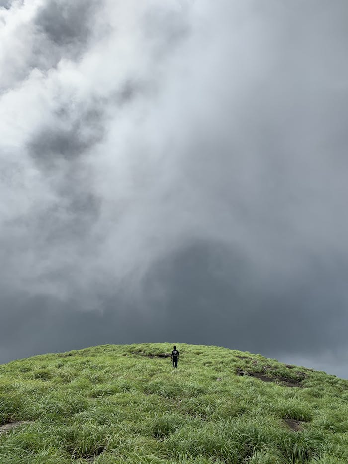
Understanding clouds can help you predict weather changes long before forecasts update. Each formation tells a story about what’s happening in the atmosphere. Whether you’re hiking, camping, or simply curious, learning to read clouds makes you more aware of nature’s signals. You don’t need fancy equipment to notice the clues above. With a little observation, you can spot rain, wind, or clear skies before they arrive and plan your day more confidently.
Cirrus Clouds Signal a Change

High, wispy cirrus clouds often stretch across blue skies like delicate brushstrokes. They may look peaceful, but they usually mean a shift in the weather is on the way. These thin clouds form at high altitudes where the air is cold and dry. When you see them thickening or spreading, it often suggests that a warm front or storm system is approaching within the next day or two.
Cumulus Clouds Suggest Fair Weather

Cumulus clouds are the fluffy white ones that look like cotton balls drifting through the sky. They usually appear on sunny days and indicate stable air and calm conditions. However, when they start growing taller and darker, they can quickly develop into storm clouds. Watching their size and shape helps you tell if the pleasant weather might take a turn later in the afternoon.
Cumulonimbus Means Thunderstorms Ahead

When clouds grow vertically into massive towers, they become cumulonimbus formations, signaling thunderstorms. These clouds can reach high into the atmosphere, often with flat tops that look like anvils. They form from rising warm air and bring heavy rain, lightning, hail, and sometimes even tornadoes. Spotting one building on the horizon is a clear sign to seek shelter before the storm arrives.
Stratus Clouds Bring Steady Gray Skies
Stratus clouds form low in the sky and stretch out like a blanket, creating dull, gray conditions. They often bring light rain or drizzle rather than heavy downpours. These clouds can linger for hours or even days, especially in coastal areas. When you see the sky covered in thick stratus layers, expect cooler temperatures and a day that feels calm but slightly damp.
Altostratus Signals Incoming Rain

Altostratus clouds sit higher than stratus but lower than cirrus, forming wide, grayish sheets that can cover the entire sky. They often appear ahead of a warm front and usually bring steady rain or snow within several hours. The sun may still be faintly visible through them as a blurry glow. When these clouds move in, it’s wise to prepare for wet weather soon.
Lenticular Clouds Hint at Strong Winds

Lenticular clouds form in smooth, lens-like shapes over mountains or hilly regions. Their layered appearance makes them look almost like flying saucers. These clouds indicate powerful wind currents moving over terrain, often signaling turbulence in the air. Pilots pay close attention to them, but for outdoor travelers, they can mean gusty conditions or sudden weather changes ahead.
Mammatus Clouds Follow Severe Storms
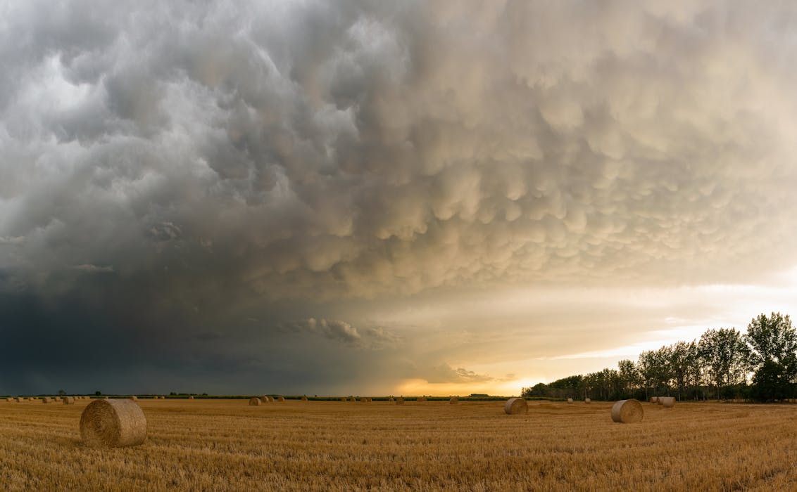
Mammatus clouds hang like pouches beneath a storm’s anvil and are among the most dramatic formations you can see. They don’t create bad weather themselves but often appear after intense storms, hail, or tornadoes. Their presence means the atmosphere is still unstable. If you spot these bulbous shapes after a storm, it’s best to stay cautious while the skies settle.
Nimbostratus Means Long Periods of Rain
Nimbostratus clouds are thick, dark layers that produce continuous rain or snow. Unlike short-lived storm clouds, these bring slow, steady precipitation that can last all day. The sky becomes heavy and gray, blocking sunlight entirely. When you see nimbostratus clouds forming, it’s a sign that you’re in for a long, wet stretch of weather, perfect for staying cozy indoors.
Altocumulus Can Signal Morning Calm or Storms

Altocumulus clouds appear as white or gray patches arranged in small rolls or waves. When spotted on a cool morning, they often mean fair weather. However, if they form in humid, warm air during early hours, they can warn of afternoon thunderstorms. Observing their texture and timing helps you anticipate whether the day will remain calm or turn stormy later.


