America has no shortage of scenery that looks permanent, yet some of its wildest places can change remarkably fast. A thunderstorm can turn a dry canyon into a torrent, a rising tide can erase a beach route, and strong wind can redraw a dune field. These places reveal nature in motion rather than as a fixed postcard. The changes may last minutes, hours, or a single weather cycle, but each shows how water, wind, heat, and gravity can reshape a landscape in real time.
1. Death Valley, California
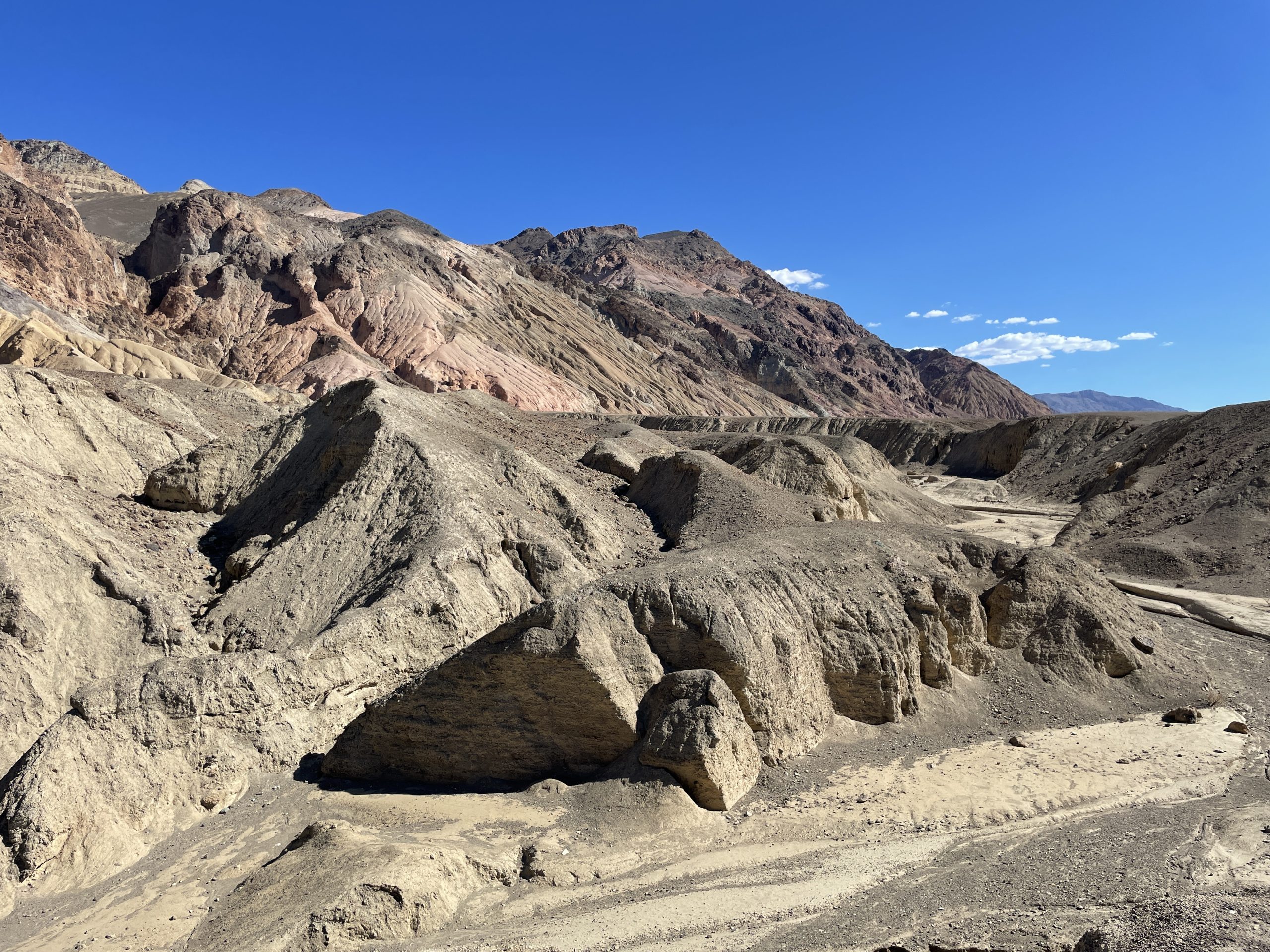
Death Valley can look almost frozen in time until a storm arrives. A summer thunderstorm can send sudden runoff through dry washes, carve fresh channels, and spread sediment across the valley floor. Badwater Basin, 282 feet below sea level, can also hold temporary water after major rain, changing the famous salt-pan view. The park covers more than 3 million acres, so conditions can differ sharply between the low basin and mountains above 11,000 feet. In just a few hours, wind, rain, cloud, and light can make the same desert feel like a different landscape.
2. White Sands, New Mexico
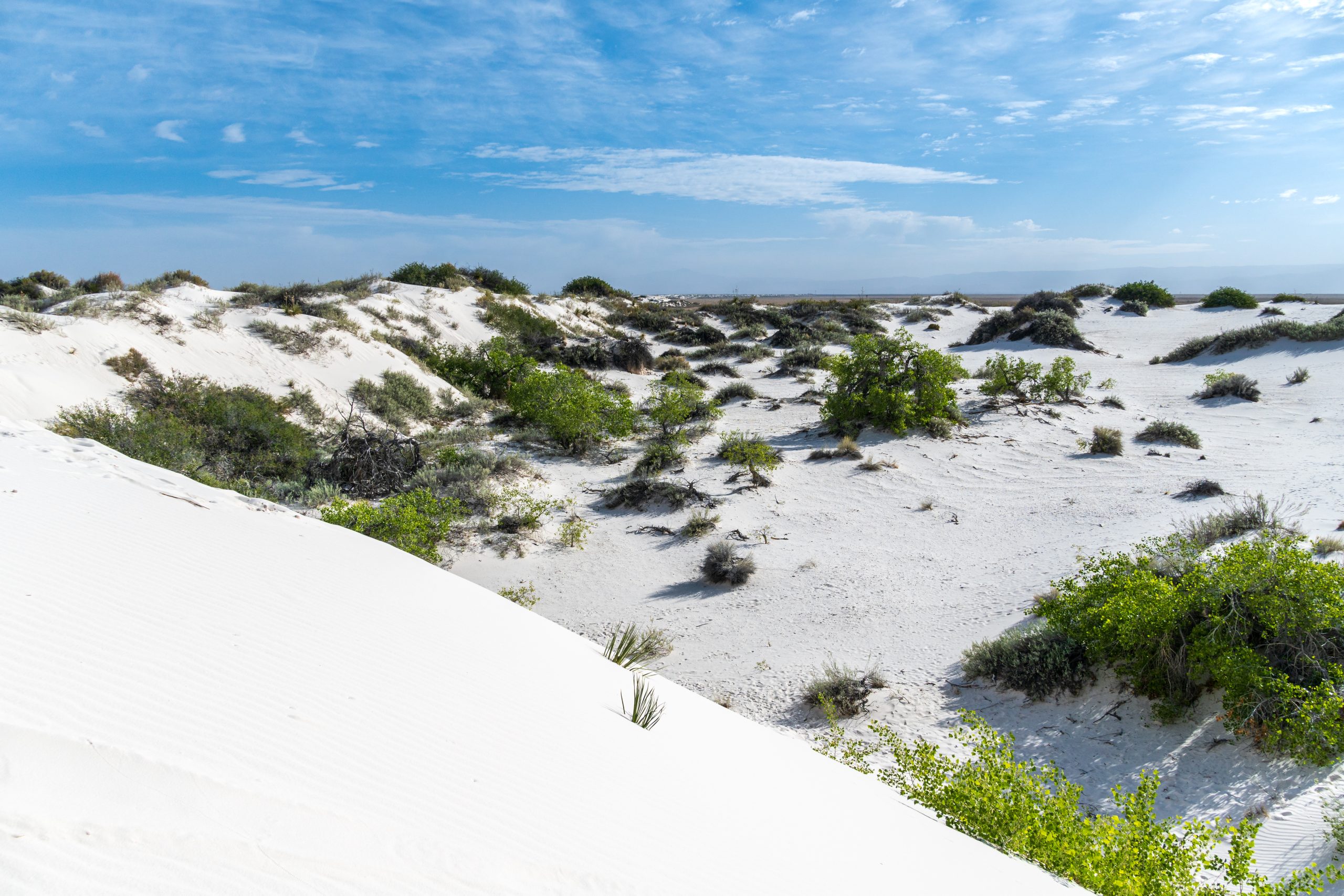
White Sands is a giant field of gypsum dunes that never stays perfectly still. Wind moves loose grains across the surface, rebuilding ripples and shifting dune faces while rain can temporarily firm the sand and alter travel conditions. The dunefield covers about 275 square miles, making the scale of movement easy to appreciate from a high viewpoint. Spring can bring winds up to 50 mph, while summer thunderstorms are common from July into September. After a windy or wet spell, tracks, ridges, and dune edges can look noticeably different from earlier in the day.
3. Theodore Roosevelt National Park, North Dakota
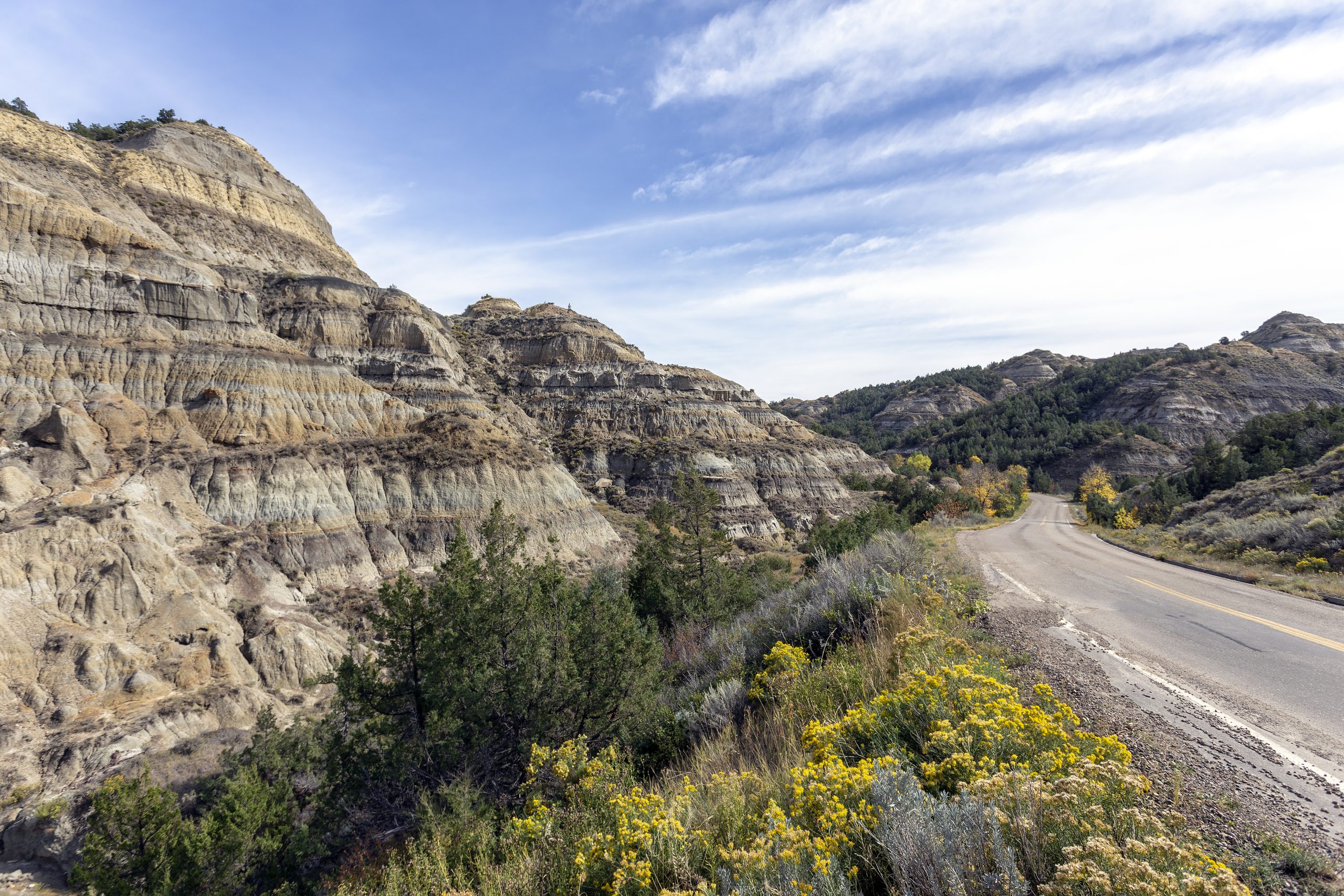
The badlands of Theodore Roosevelt National Park respond dramatically to water because much of the ground is soft clay and sedimentary rock. A heavy shower can carve tiny rivulets that join into larger channels, while saturated slopes may slump or collapse. The park averages about 15 inches of precipitation a year, but intense downpours can deliver a surprising amount of erosive force at once. Flash floods can also scour the Little Missouri River system. The change may be subtle from a road, yet close inspection after rain can reveal fresh grooves, mud movement, and altered slopes.
4. Olympic National Park, Washington
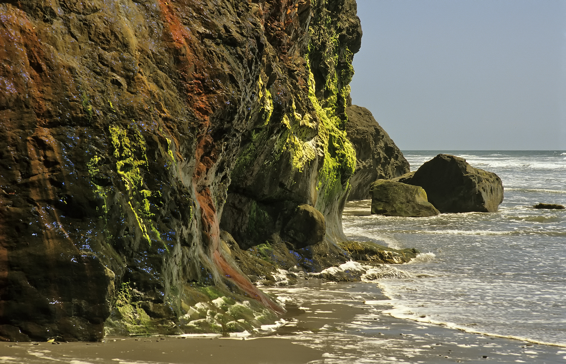
Olympic’s Pacific coast can transform within a single tide cycle. As the ocean retreats, rocks, tide pools and sections of beach that were underwater become exposed, then disappear again as water returns. The park protects about 73 miles of wilderness coastline, where waves, wind and storms continually rearrange sand, driftwood and loose material. Strong weather can push tides higher and make familiar passages unsafe. Inland, heavy rain can swell rivers and waterfalls, adding another layer of rapid change. A morning beach walk and an afternoon return can feel like two different trips.
5. Great Sand Dunes, Colorado
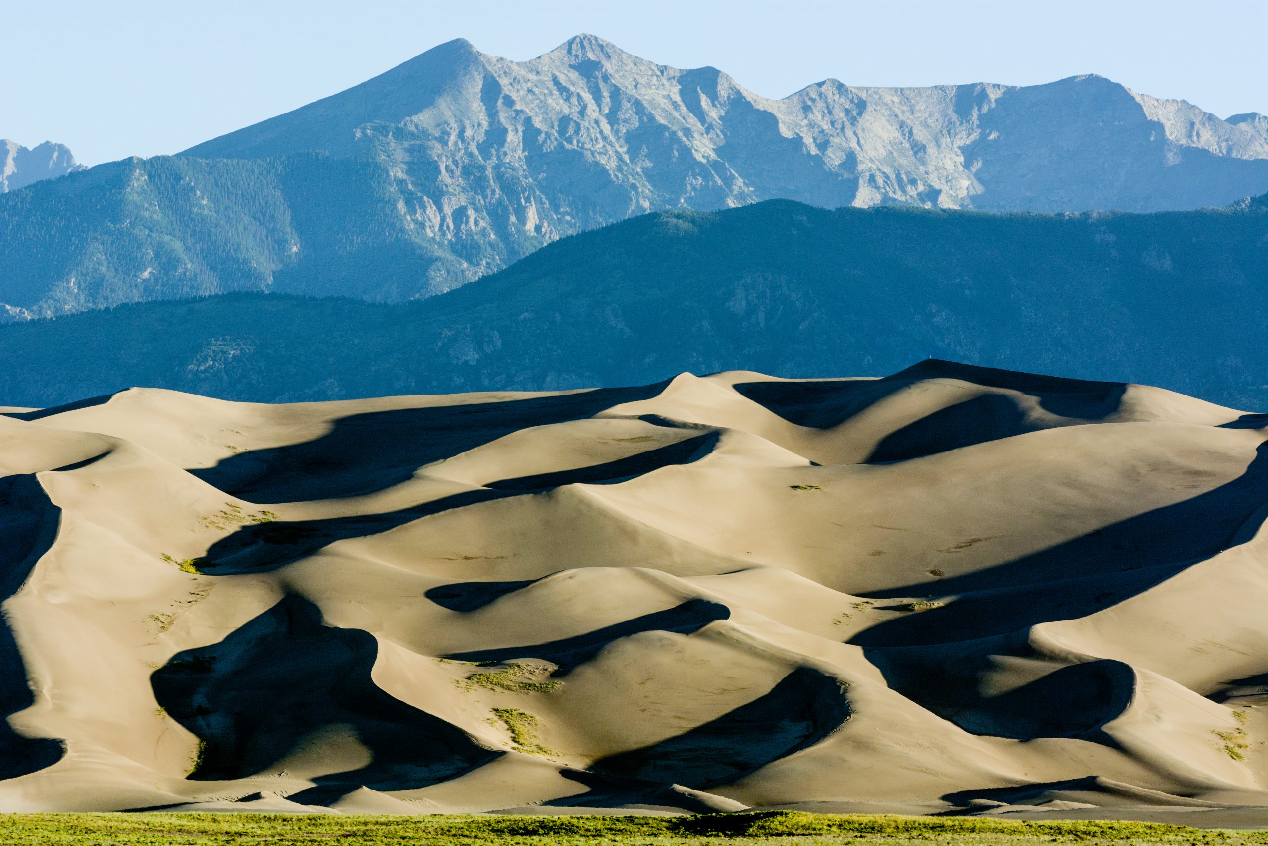
Great Sand Dunes National Park is a landscape built by moving air, water and sand, and the surface can change quickly when wind conditions shift. The tallest dunes rise more than 700 feet above the surrounding floor, with ridges and ripples constantly remodeled by blowing grains. Snowmelt from the Sangre de Cristo Mountains also feeds seasonal streams that move sand toward the dunes. During windy periods, the crest of a dune can look different by evening, while afternoon storms may cover the scene with clouds and briefly reshape wet sand at its base.
6. Outer Banks, North Carolina
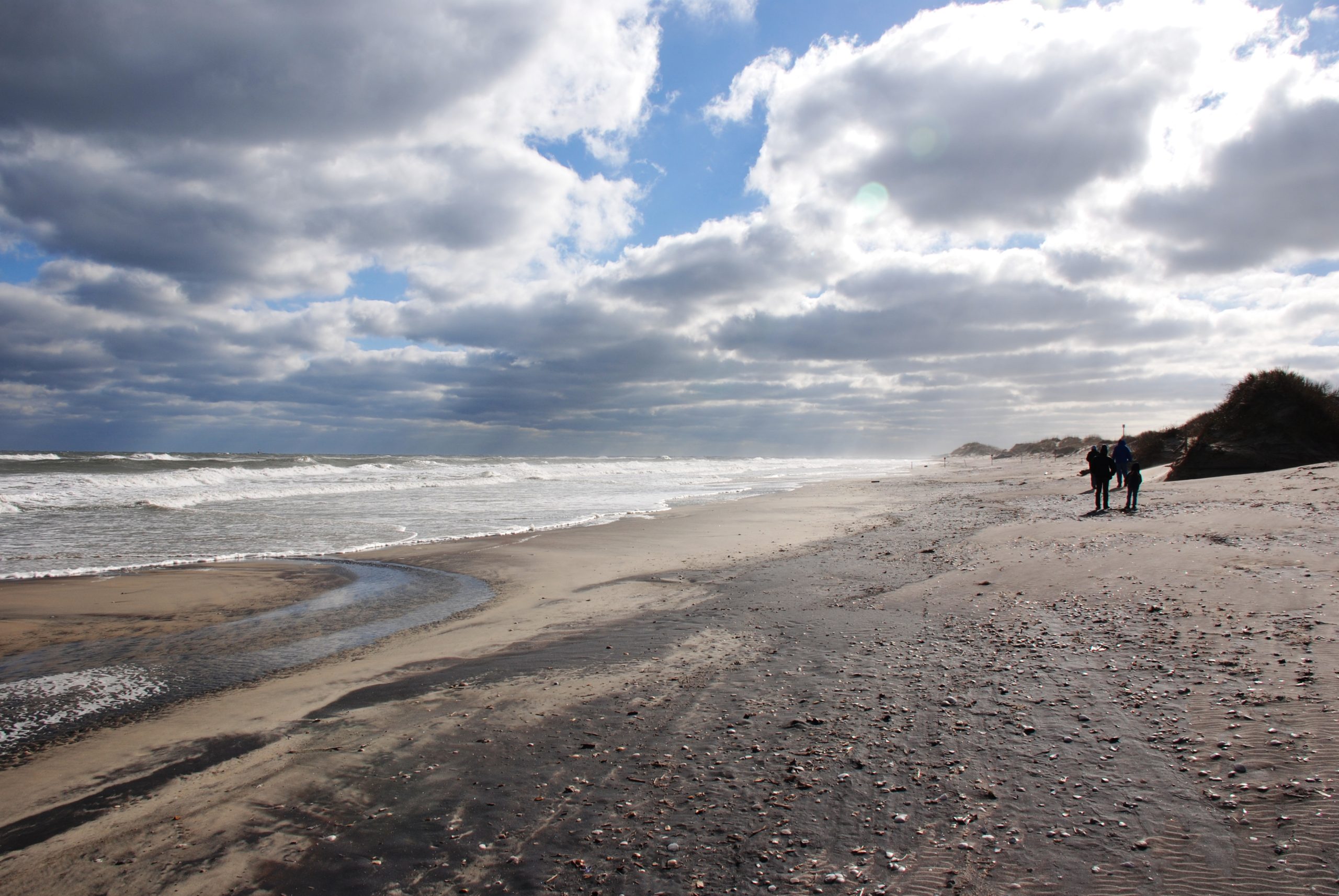
The Outer Banks are narrow barrier islands, so wind, waves, and tides have enormous influence over their shape. Storms can push seawater across low sections, move sand inland, and cut temporary channels known as overwash areas. Dunes can also lose sand during rough surf and rebuild as calmer conditions return. Cape Hatteras National Seashore stretches for about 70 miles, exposing a long, shifting edge to the Atlantic. A beach that looks broad and dry in the morning can have a different shoreline, exposed debris, or fresh sand deposits after several hours of wind and waves.
7. Great Salt Lake, Utah
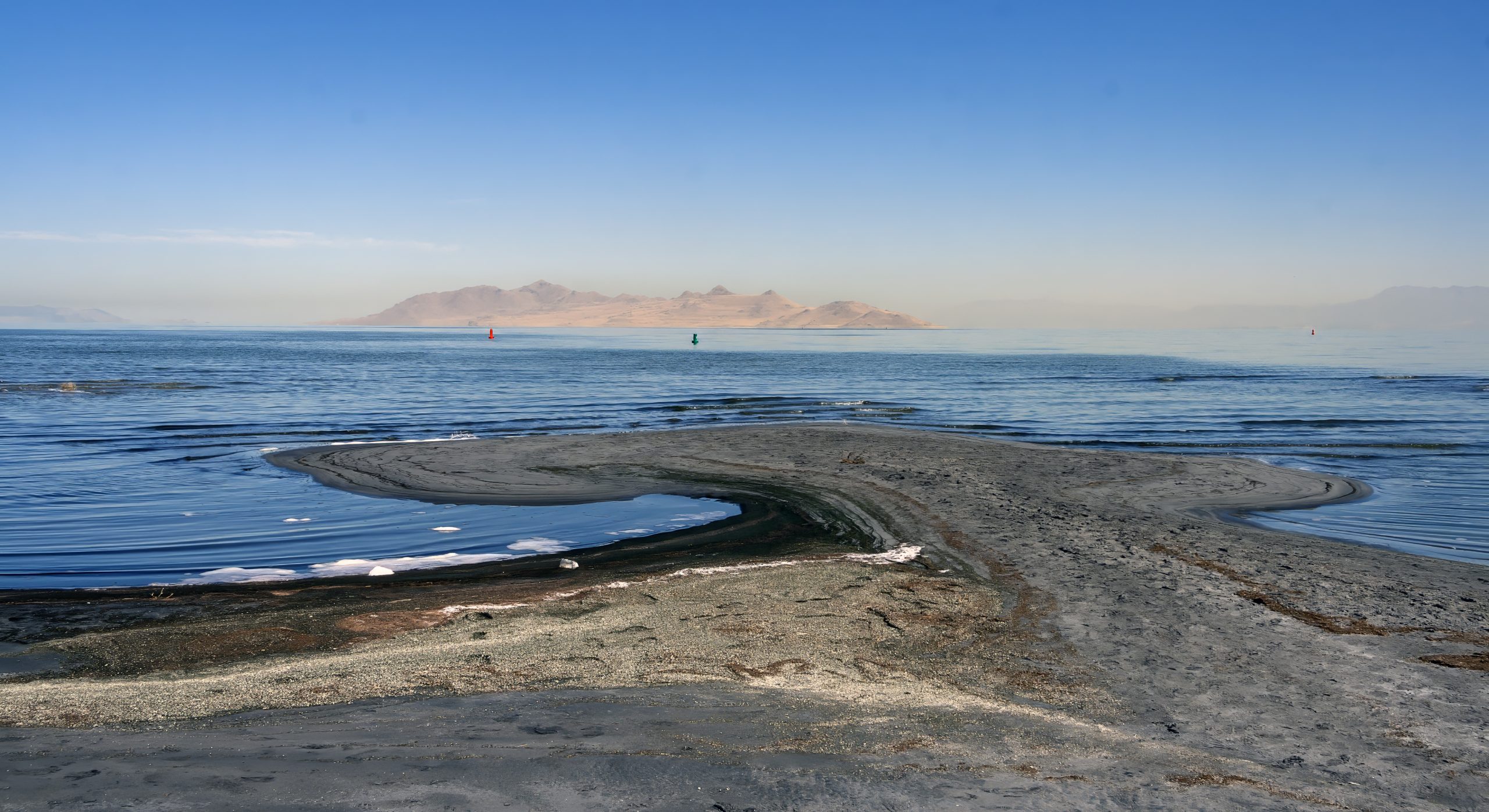
Great Salt Lake is not a static blue patch on a map. Its shoreline can expand or retreat as water levels respond to precipitation, runoff, evaporation, and inflow from the surrounding watershed. Because the lake is shallow, relatively small changes in elevation can expose or cover broad areas of lakebed. Wind can also rearrange shoreline sediment and create striking differences in the water’s surface from hour to hour. The lake’s maximum dimensions are roughly 75 miles long and 28 miles wide, so changing conditions can alter huge-looking vistas even during a single day.
8. Grand Canyon, Arizona
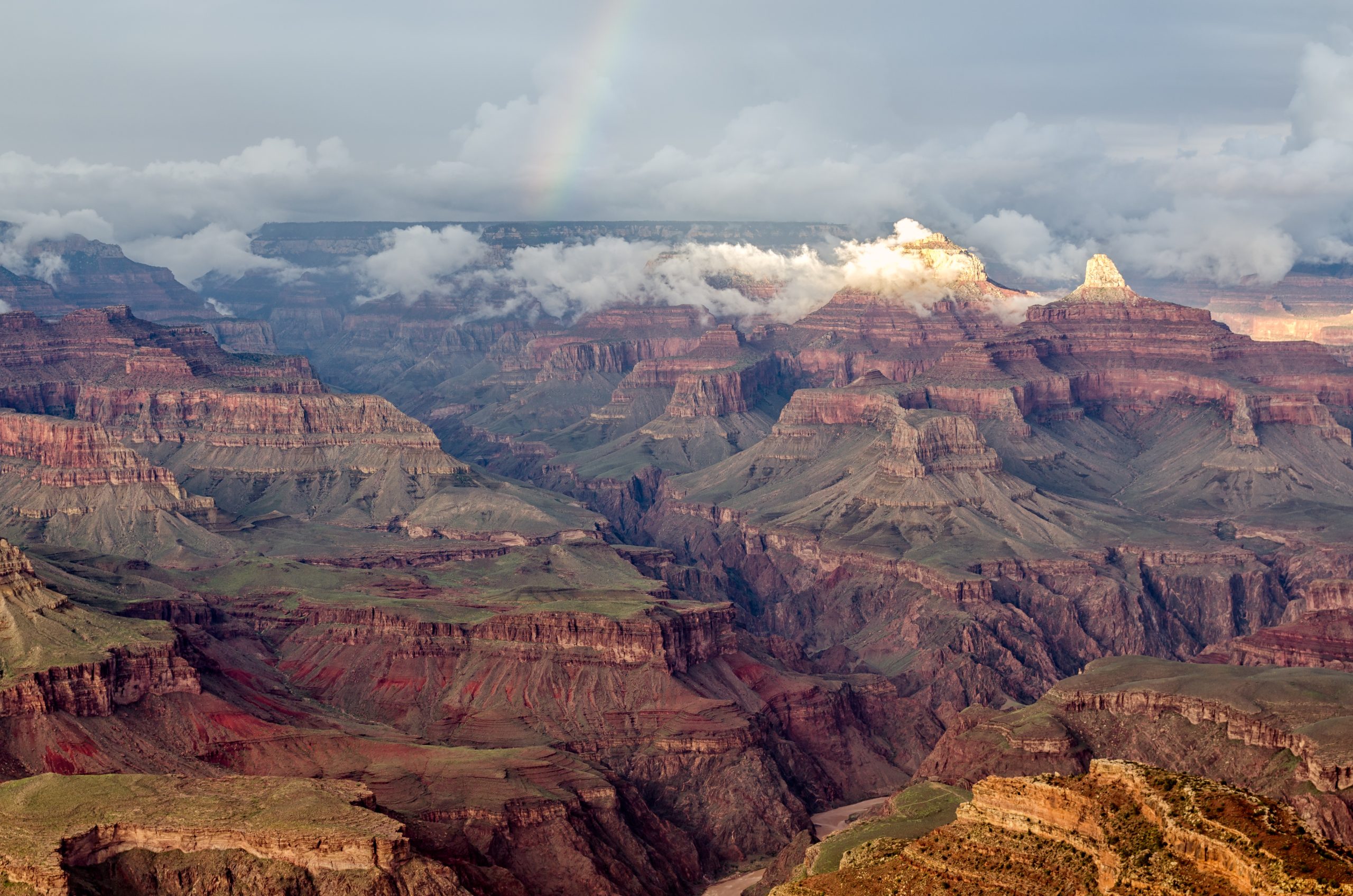
The Grand Canyon changes fastest when water suddenly arrives in a place that often looks completely dry. Summer thunderstorms can produce flash floods in side canyons, sending sediment, rocks, and debris downslope with force. The Colorado River continues moving material through the canyon, while rainfall and freeze-thaw weathering work on exposed cliffs above it. The canyon is 277 miles long, so conditions vary widely. A clear overlook can become a dark, rain-filled scene within minutes, with waterfalls and muddy runoff appearing where dry rock was visible earlier.
9. Everglades, Florida
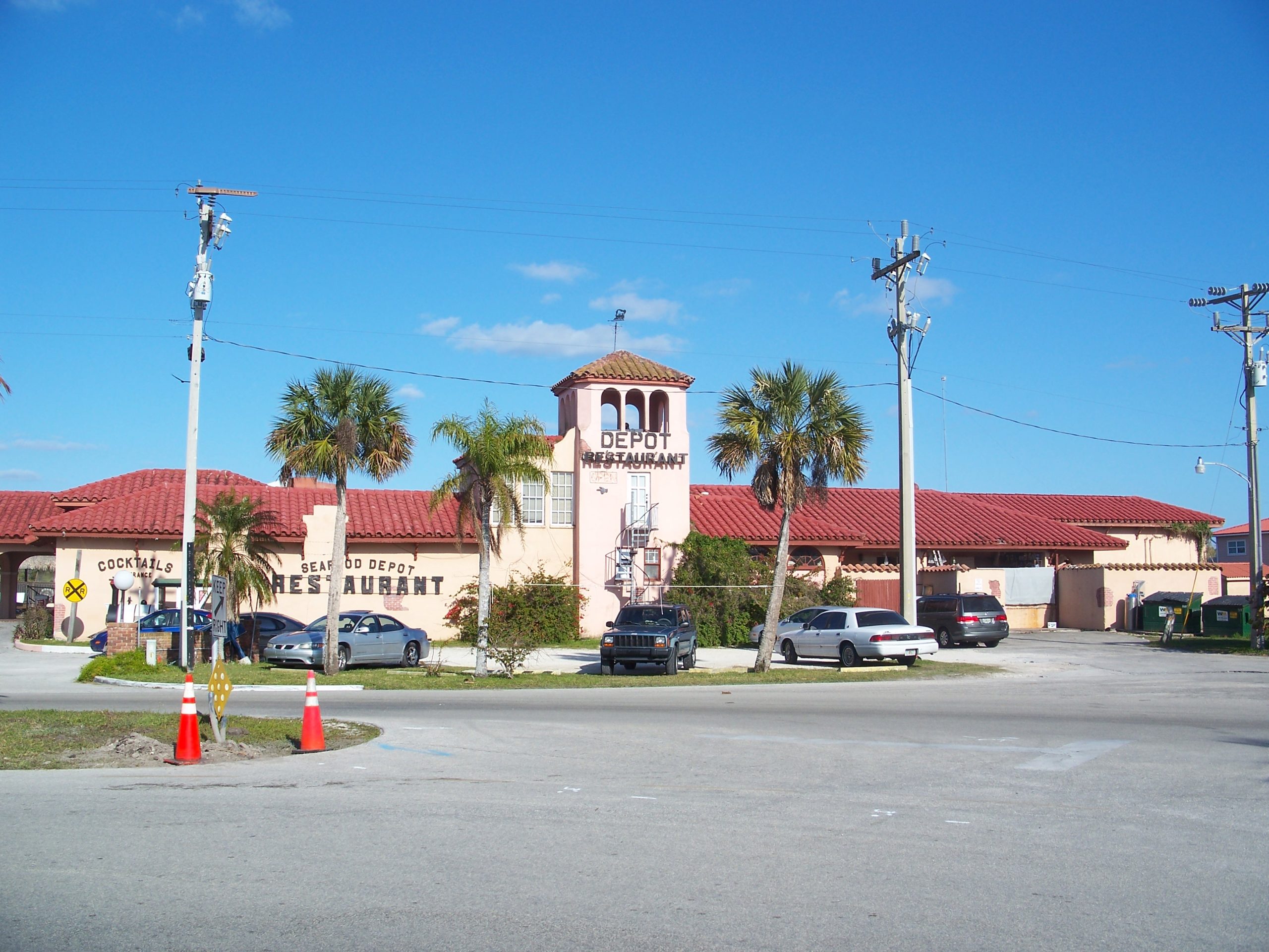
The Everglades can change character rapidly because water, tides, and weather constantly redistribute shallow flow across a broad landscape. Seasonal rains raise water levels, while dry periods concentrate water in sloughs, ponds and deeper channels. Along the coast, tides move saltwater into and out of mangrove wetlands, changing which areas are flooded during the day. The greater Everglades ecosystem covers roughly 1.5 million acres, so conditions vary across the region. A quiet wetland can look open and reflective, then become darker, fuller, and more connected as water moves through.
10. Yellowstone, Wyoming
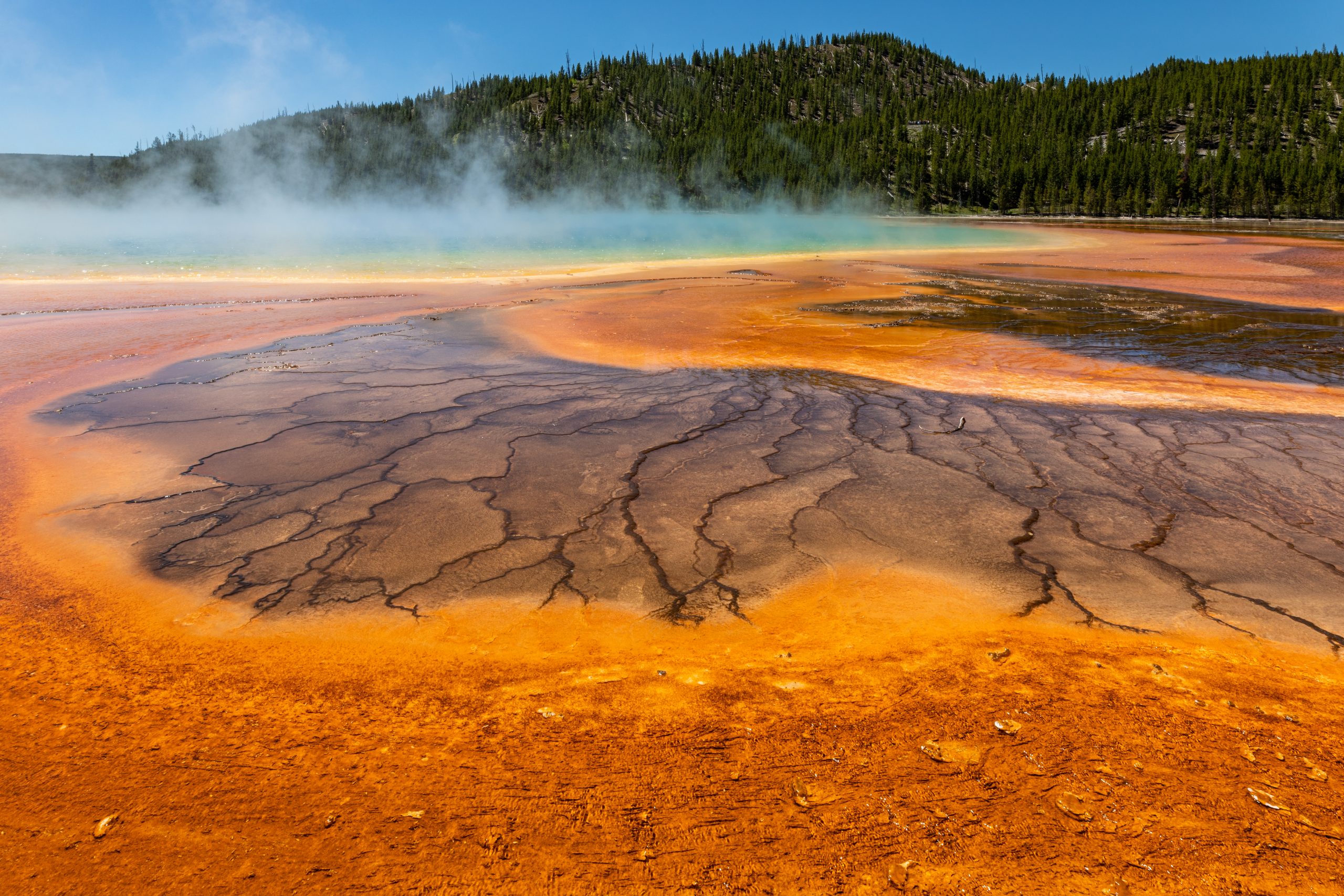
Yellowstone’s hydrothermal terrain can appear to change before your eyes because underground heat continually drives water and steam through the ground. Geysers erupt, pools overflow, mud pots bubble, and mineral-rich water deposits new material around vents. Weather adds another layer: snow, rain, fog, and changing sunlight can dramatically alter thermal basins within hours. Yellowstone contains more than 10,000 hydrothermal features, including geysers, hot springs, and mud pots. The ground is unstable, and thin crusts can hide scalding water and active geothermal systems beneath.
11. Badlands National Park, South Dakota
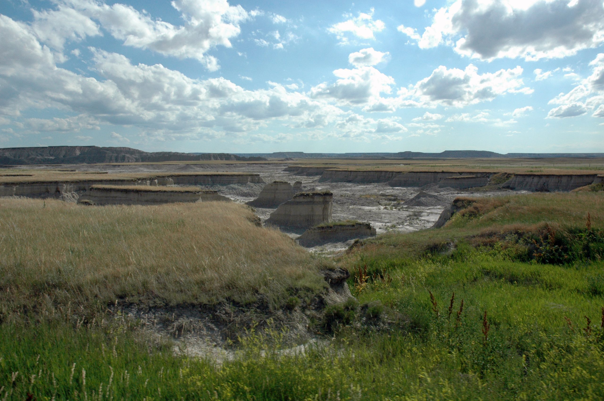
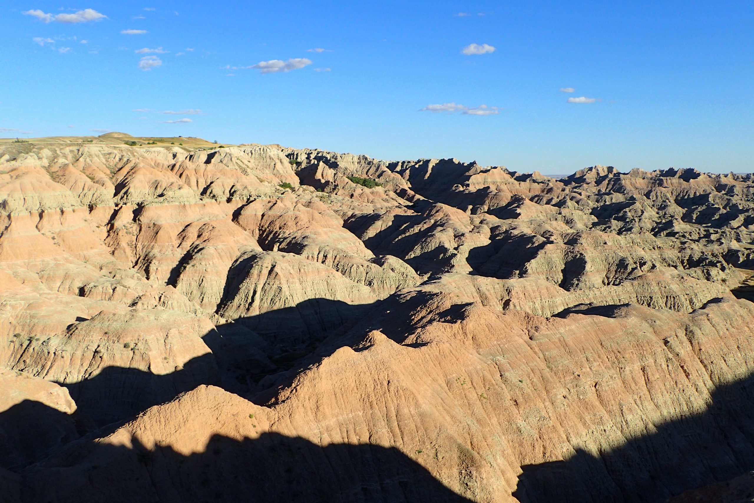
Badlands National Park is shaped by soft sediment that responds quickly to rain and runoff. Heavy showers can carve channels into exposed slopes, move loose clay downhill, and reveal fresh surfaces beneath the weathered exterior. The park’s formations record roughly 75 million years of geological history, but their modern appearance is still being altered today. NPS estimates that the Badlands erode at about 1 inch per year, fast for rock. That long-term rate comes from countless smaller events, including rainstorms that can leave visible changes in gullies, slopes, and fragile formations.
12. Oregon Coast, Oregon
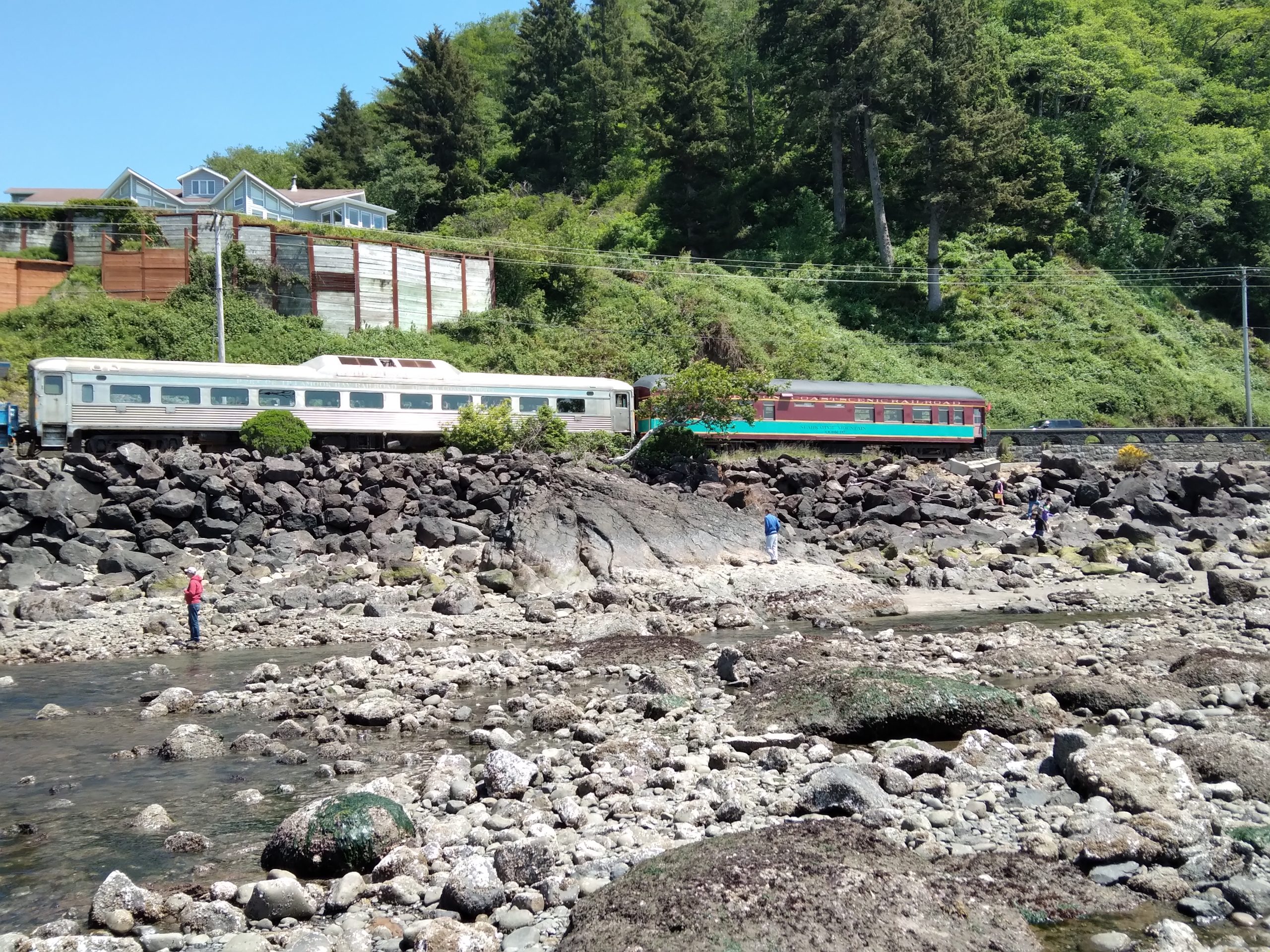
Oregon’s wild coast can look dramatically different after a few hours of tide, wind, and surf. Beaches may widen as water retreats, then narrow as waves return, while driftwood and loose sand are pushed into new positions. Winter storms can bring larger waves and stronger winds that reshape beaches and expose or cover sections of shoreline. The coast also contains sea stacks, rocky headlands, and tide pools that change with water levels. Because the Pacific controls so much of the scene, a calm morning can give way to a rough, spray-filled afternoon without the shoreline looking quite the same.