
Across the United States, countless trails promise breathtaking views, but not all make navigation easy. Some twist through dense forests, fade into fog, or split into unmarked routes that test even seasoned hikers. These forest trails are stunning yet treacherous places where a wrong turn could turn adventure into an ordeal. Here are eleven U.S. trails famous for confusing travelers who think they can’t get lost.
1. The Maze

The Maze earns its name with endless sandstone canyons and deceptive ridges that look identical in every direction. Signs are few, GPS signals fade, and rock cairns often vanish in storms. Hikers must rely on map reading and memory as the terrain offers no mercy. It’s one of the most isolated areas in the country where navigation skills matter more than stamina, and help may be days away.
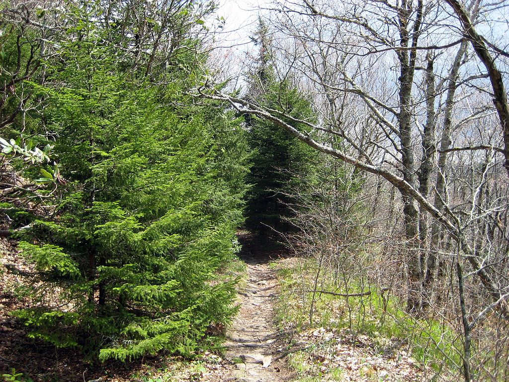
2. Devil’s Path
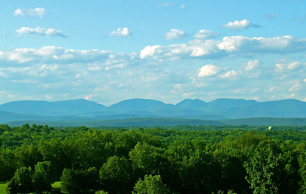
Steep, dark, and unpredictable, Devil’s Path is known for disorienting hikers with its twisting ascents and overgrown corridors. Fog and thick forest canopy block sunlight, distorting one’s sense of direction. The trail crosses multiple peaks with limited signage, so missing a marker could cost hours. Despite its beauty, Devil’s Path demands focus, endurance, and respect because one careless moment can send you the wrong way fast.
3. Pacific Crest Trail
Though iconic, some stretches of the Pacific Crest Trail in California are notoriously confusing. Fire damage and reroutes often erase established paths, while unofficial detours mislead travelers. Hikers have reported vanishing markers and diverging dirt roads that seem legitimate until miles too late. It’s a humbling reminder that even world-famous trails can test navigation, and overconfidence is the quickest way to get lost.
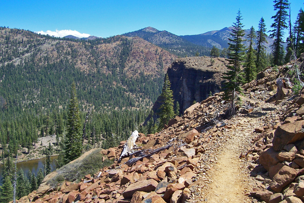
4. Cactus to Clouds Trail
This punishing climb begins in desert heat and ends in alpine cold, but rapid elevation shifts also mean sudden disorientation. Once above the clouds, trails blur into endless ridgelines and faint footprints. Lack of clear markers and fatigue combine dangerously. Hikers who underestimate its difficulty often lose direction in thin air, learning the hard way that this trail demands preparation and humility.
5. Old Loggers Path
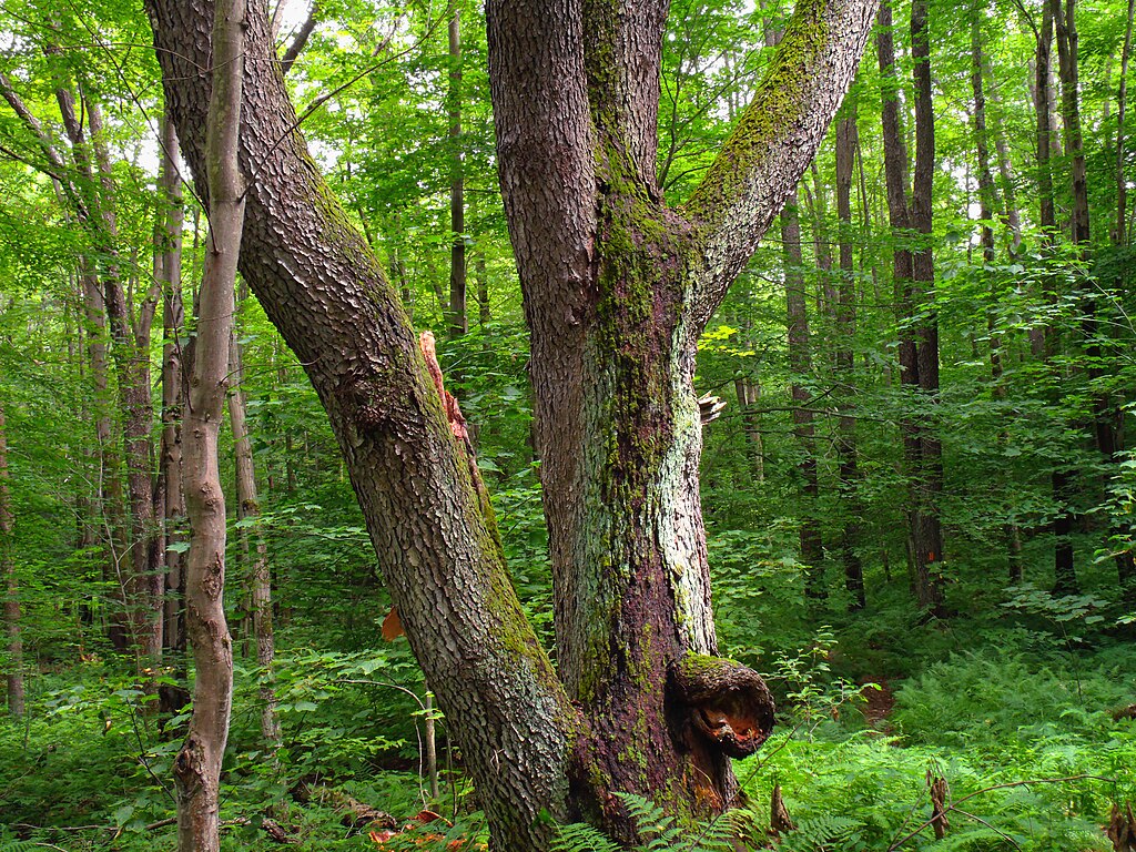
Once a network of timber roads, the Old Loggers Path now blends into its surroundings so well that it’s nearly invisible in places. Faded blazes and fallen trees hide intersections, while side spurs from old logging routes lead nowhere. The trail’s quiet charm masks its navigational traps, making even experienced hikers second-guess every turn through these reclaimed Pennsylvania forests.
6. Bucktail Path
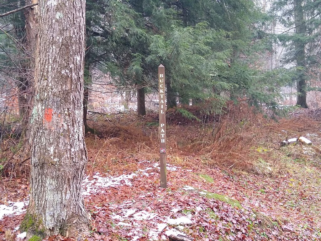
Isolated and rugged, Bucktail Path feels untouched since its creation. Thick brush swallows trail signs, while wildlife paths look deceptively human-made. Multiple unmarked forks make route finding guesswork without a map and compass. The solitude adds to its danger; there are no nearby hikers to confirm direction. Those who tread here must treat it less as a trail and more as a survival challenge.
7. Eagle Creek Trail
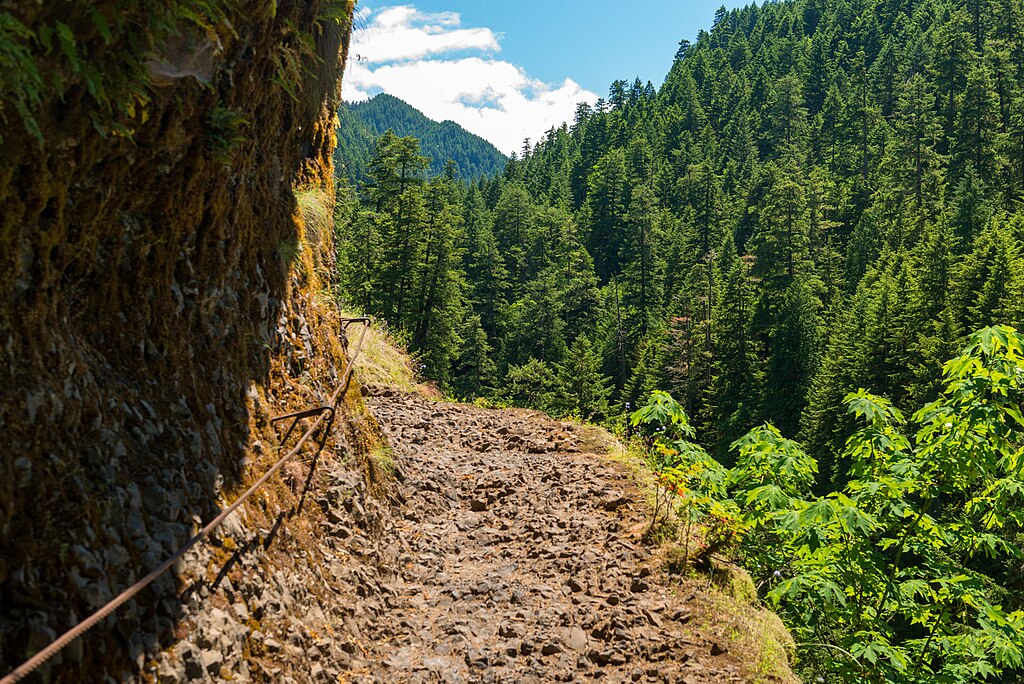
Known for waterfalls and narrow ledges, Eagle Creek Trail also hides plenty of confusion. Rockslides, reroutes, and broken bridges have altered the path over time, leaving old GPS maps unreliable. Dense greenery and rushing water distort direction, while unofficial side trails tempt hikers off course. Despite its beauty, it’s a route where confidence can quickly turn into chaos without caution
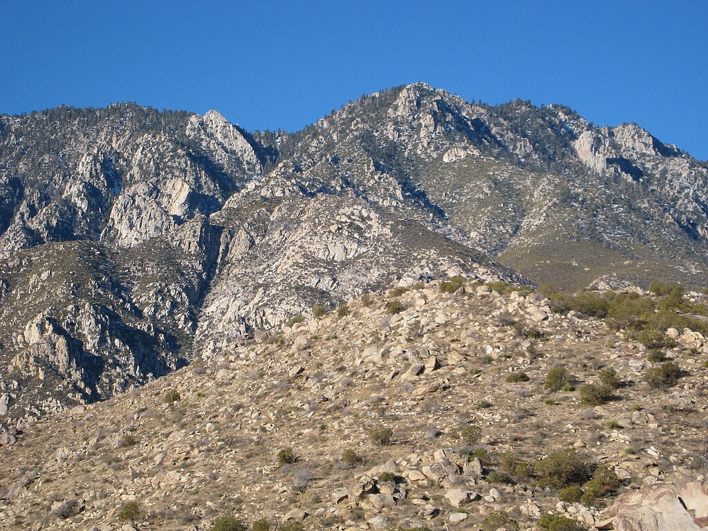
8. High Sierra Trail
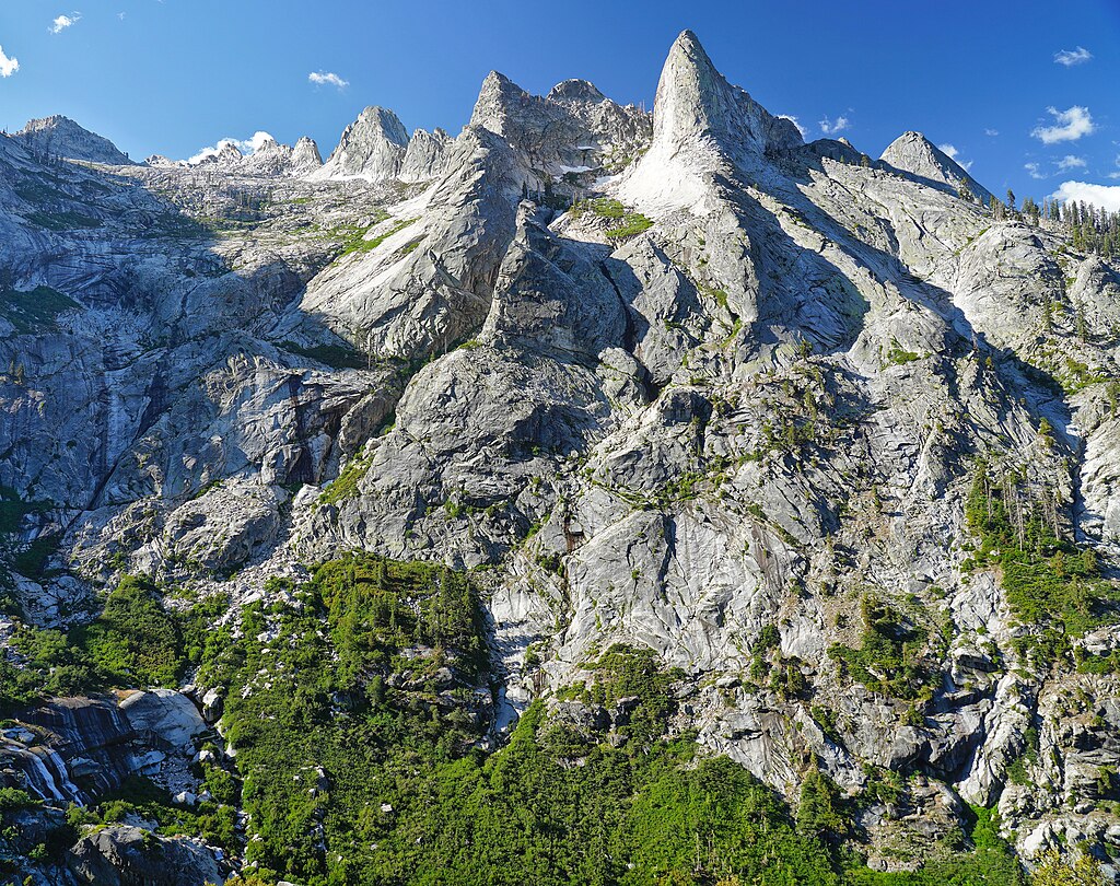
High Sierra Trail offers magnificent mountain views but demands sharp navigation instincts. Above the treeline, landmarks blur into snowy ridges, and storms erase any sign of the path. Even slight detours can lead miles off course. Seasoned hikers bring compasses, altimeters, and detailed maps, knowing that beauty here comes with risk. It’s a breathtaking, humbling journey that punishes arrogance quickly.
9. Tahoe Yosemite Trail
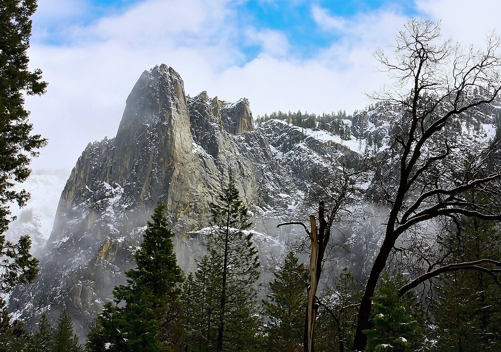
Stretching nearly 180 miles, this backcountry route has sections that vanish entirely into forests or gravel roads. Old firebreaks and logging routes mimic the trail, sending hikers wandering. Elevation changes create disorienting landscapes where everything looks the same. Without careful attention to maps and trail reports, it’s easy to lose the main path and hard to find it again once you do.
10. Pine Ridge Trail

Fire damage, erosion, and overgrowth have turned this once-famous Big Sur trail into a maze. New reroutes cross abandoned paths and riverbeds, while charred trees obscure signposts. The dense chaparral blocks GPS, and faint tracks mislead travelers toward dead ends. Yet, the stunning mix of redwoods and ocean vistas keeps drawing hikers back, each one hoping not to repeat others’ mistakes.
11. Art Loeb Trail
Running across high ridges and open balds, the Art Loeb Trail lures adventurers with sweeping views but deceives with its poorly marked junctions. Fog rolls in fast, obscuring blazes and blending ridgelines. Many lose their bearings near Shining Rock, where unmarked paths crisscross. Even locals admit this Blue Ridge route demands patience, visibility, and constant attention to compass bearings.


