
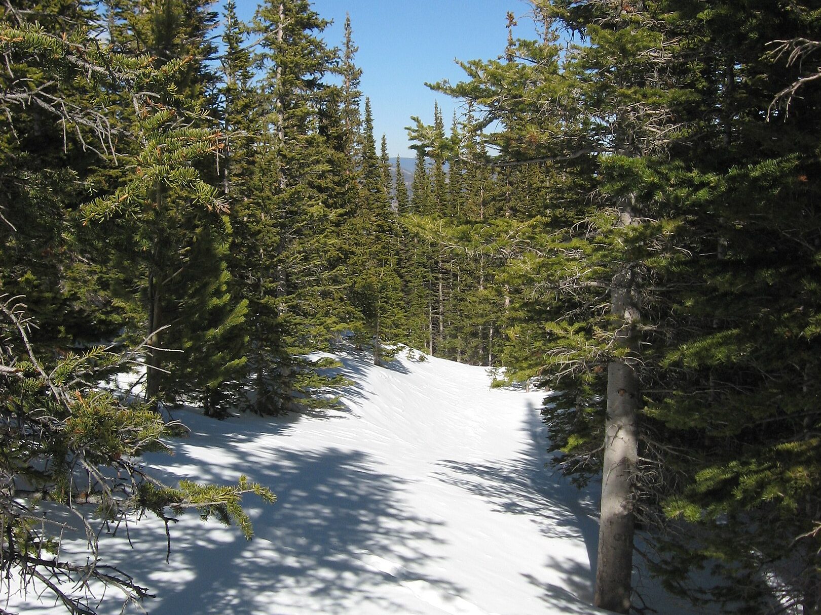
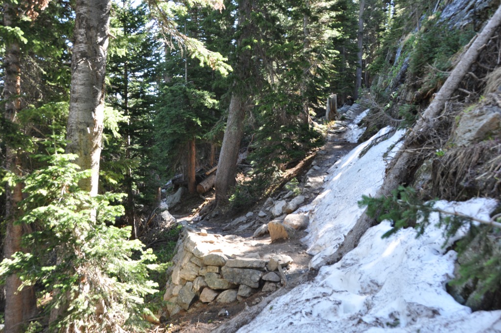
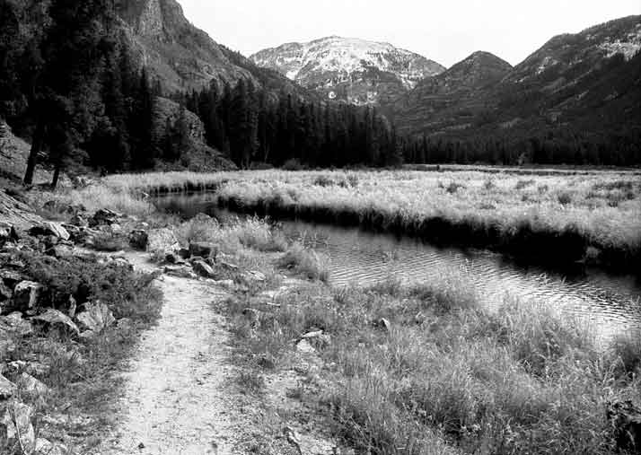
Rocky Mountain National Park, spanning 415 square miles in Colorado, attracts over 4.1 million visitors annually (National Park Service, 2023). With more than 350 miles of maintained trails, hikers consistently rate certain routes as the most scenic for their panoramic views, glacial lakes, and wildlife diversity. The following trails are among the most celebrated, based on National Park Service visitor data, U.S. Geological Survey maps, and AllTrails user reviews.
Panoramas from Flattop Mountain
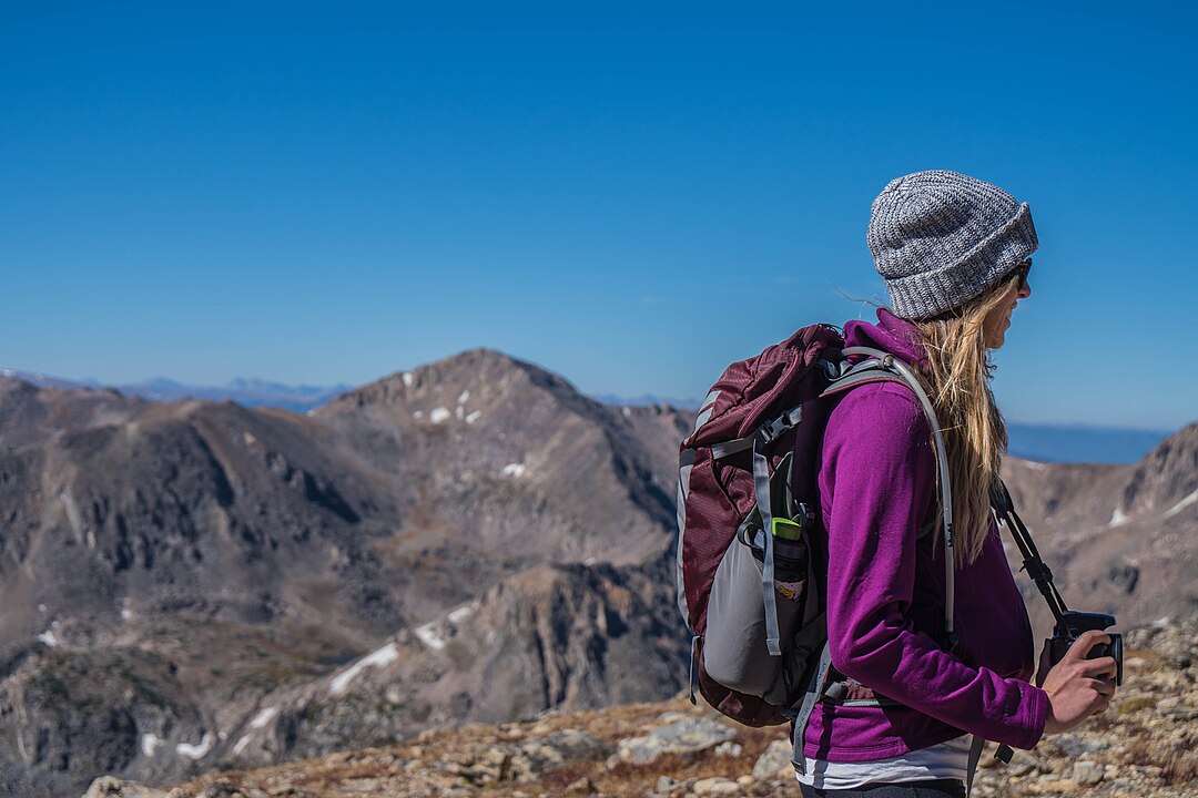
At 12,324 feet, Flattop Mountain offers sweeping views across the Continental Divide and Longs Peak. The 8.8-mile round trip gains 2,849 feet in elevation, making it one of the park’s most challenging day hikes. The summit provides rare tundra access where hikers can spot marmots and alpine wildflowers. The trail also links to the Continental Divide Trail, offering extended trekking options.
Reflections at Sprague Lake Loop
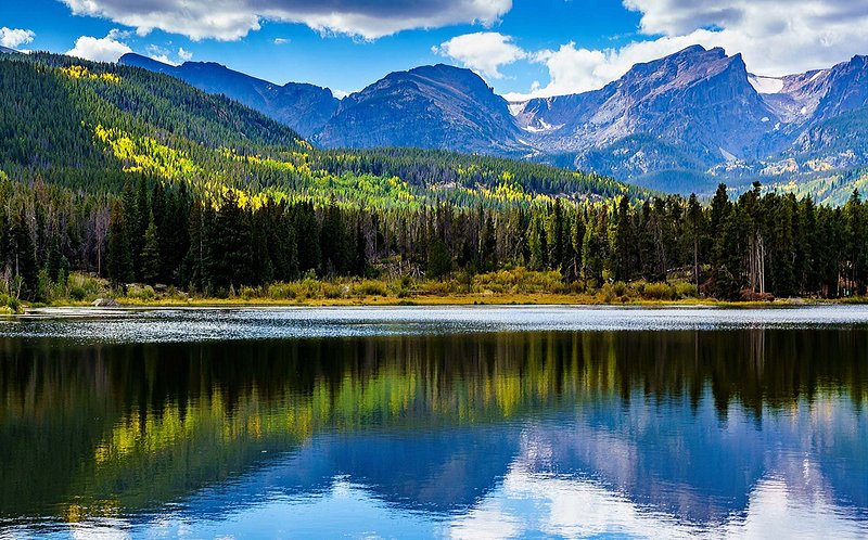
This 0.8-mile accessible loop sits at 8,710 feet and is popular for sunrise photography. The lake’s surface reflects Hallett Peak and Flattop Mountain, creating one of the most iconic views in the park. The trail is fully wheelchair-friendly, with a packed gravel path, benches, and interpretive signs installed by the National Park Service. It’s also a hotspot for moose and elk sightings in early morning hours.
Wildlife Encounters on Cub Lake Trail

The 4.6-mile round trip Cub Lake Trail features a mix of forest, meadows, and wetlands. Situated at 8,620 feet, Cub Lake is known for its lily pads and birdwatching opportunities, with over 280 species recorded in the park. The trail also passes through sections affected by the 2012 Fern Lake Fire, giving hikers a firsthand look at ecological recovery and regrowth of lodgepole pine and aspen.
Waterfalls Along Fern Lake Trail

The Fern Lake Trail runs 7.5 miles round trip to Fern Lake at 9,530 feet. Key highlights include The Pool, a powerful water convergence on the Big Thompson River, and Fern Falls, a 60-foot cascade halfway along the route. The trail is less crowded than Bear Lake area hikes, offering solitude along its aspen groves. Anglers often fish for brown and rainbow trout in Fern Lake.
Crossing the Continental Divide Loop
This strenuous 25-mile loop combines multiple trails, crossing the Continental Divide at elevations exceeding 12,000 feet. Hikers traverse alpine tundra, glacial basins, and pass iconic features like Milner Pass. The route requires 2–3 days of backpacking, with 5,000+ feet of total elevation gain. It provides some of the broadest geological diversity in the park, from granite peaks to moraine valleys carved by Pleistocene glaciers.
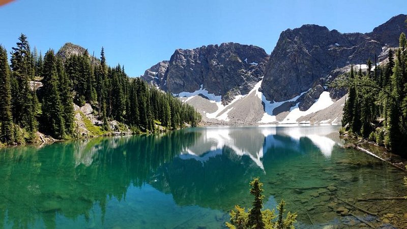
Alpine Drama at Sky Pond

Sky Pond sits at 10,900 feet and is reached via a 9-mile round trip hike with 1,780 feet of elevation gain. The trail includes a scramble up alongside Timberline Falls, a 100-foot cascade that challenges most hikers. Surrounded by jagged spires like the Sharkstooth and Taylor Peak, Sky Pond is considered one of the park’s most photogenic alpine lakes, often partially frozen into early July.
Solitude on Bluebird Lake Trail
Bluebird Lake Trail stretches 12.6 miles round trip, climbing 2,490 feet to reach the 11,020-foot alpine lake. Known for its lower traffic, the trail traverses three major waterfalls: Ouzel Falls, Calypso Cascades, and Copeland Falls. The final ascent crosses rugged talus fields, offering habitat for pika and mountain goats. With fewer hikers than Sky Pond, Bluebird Lake provides a quieter wilderness experience deep in Wild Basin.
Boulders of Lake Haiyaha
Accessible via a 4-mile round trip hike from Bear Lake, Lake Haiyaha sits at 10,220 feet, surrounded by massive glacial boulders. Its name comes from an Arapaho word meaning “lake of rocks.” In 2022, a landslide changed the lake’s color to a striking turquoise due to suspended glacial silt, attracting increased visitor attention. The area also offers vantage points of Chaos Canyon and Hallett Peak.
Remote Beauty of East Inlet Trail
The East Inlet Trail, 14 miles round trip, climbs gradually to Lake Verna at 10,180 feet and eventually Lone Pine Lake. Located near Grand Lake on the park’s western side, it provides less-crowded access. The route passes Adams Falls, a short but powerful cascade near the trailhead, and winds through lush meadows frequented by moose. Backpackers often extend the trip to Spirit Lake or Timber Lake.
Rugged Terrain on Black Canyon Trail
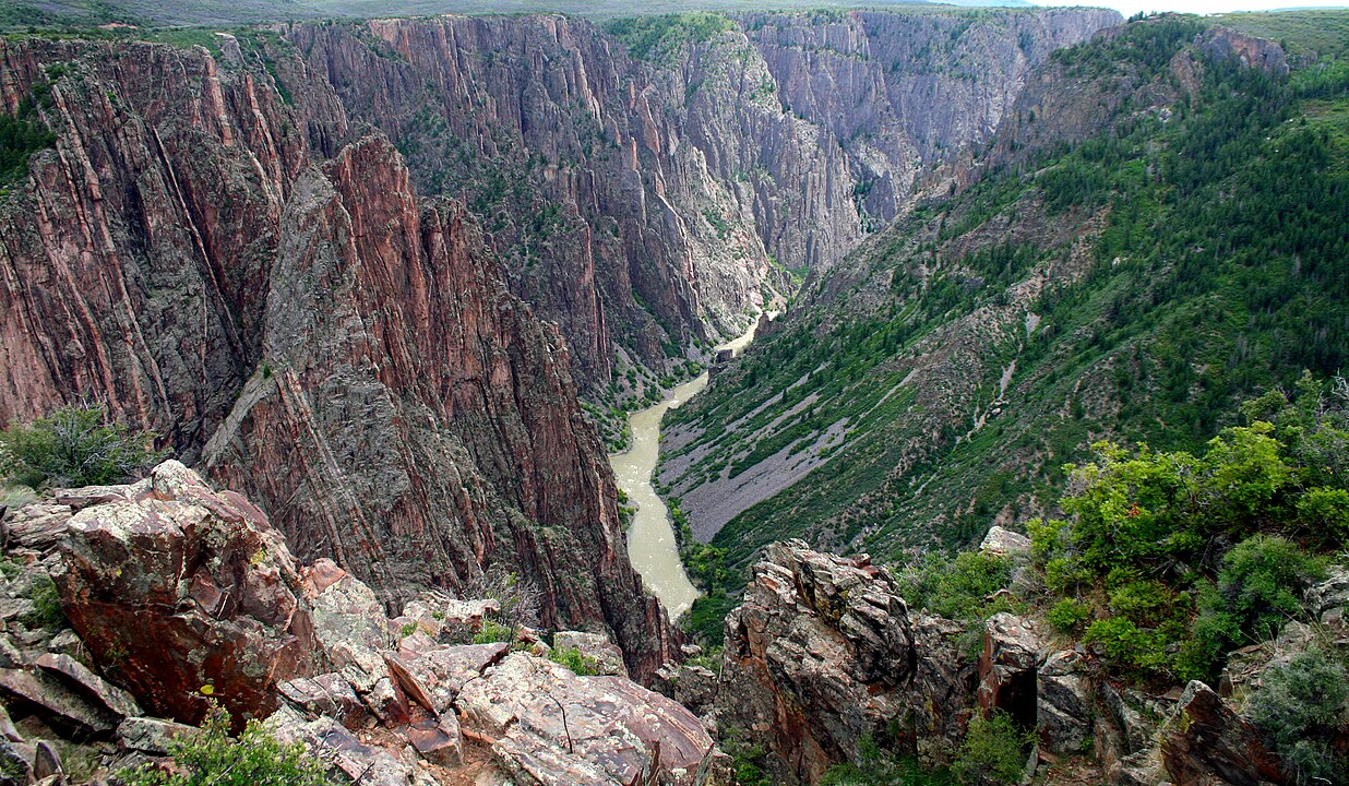
The Black Canyon Trail covers nearly 30 miles from Lawn Lake to Estes Park’s Lumpy Ridge. With elevations ranging from 8,400 to 11,200 feet, the trail is a demanding point-to-point trek. It is lightly trafficked and primarily used by experienced backpackers. The route crosses alpine forests and exposed granite, with expansive views of Mummy Range peaks. Water sources are sparse, requiring careful planning for multi-day hikes.


