
When your phone goes dark and the nearest road sign is nowhere in sight, knowing a few pre-tech navigation tricks can feel less like trivia and more like survival. Long before satellites and charging cables, people crossed deserts, forests, and open water by reading the world around them. These classic methods are not magic, and they are not perfect, but they can help you stay oriented when modern tools quit.
Following the Sun

The sun is the oldest navigation aid most of us ignore until a screen goes blank. In general, it rises in the east and sets in the west, which gives you a rough directional frame almost anywhere on Earth. Around midday, it will sit toward the south in the Northern Hemisphere and toward the north in the Southern Hemisphere.
This is not a precision instrument, and season, latitude, and terrain can distort what you think you see. But if you pause, watch the sun’s path, and compare it with the time of day, you can often regain basic orientation fast enough to make smarter choices about your route.
Using a Stick and Shadow
A straight stick, a patch of sunlight, and a little patience can give you a surprisingly useful east-west line. Push the stick into level ground and mark the tip of its shadow with a stone or scratch. Wait 15 to 30 minutes, then mark the new shadow tip. The first mark is west, and the second is east.
Draw a line between those two points and you have a simple directional guide. Stand with the first mark on your left and the second on your right, and you will be facing north in the Northern Hemisphere. It is basic, slow, and remarkably handy when you have time to stop and think.
Finding Polaris at Night
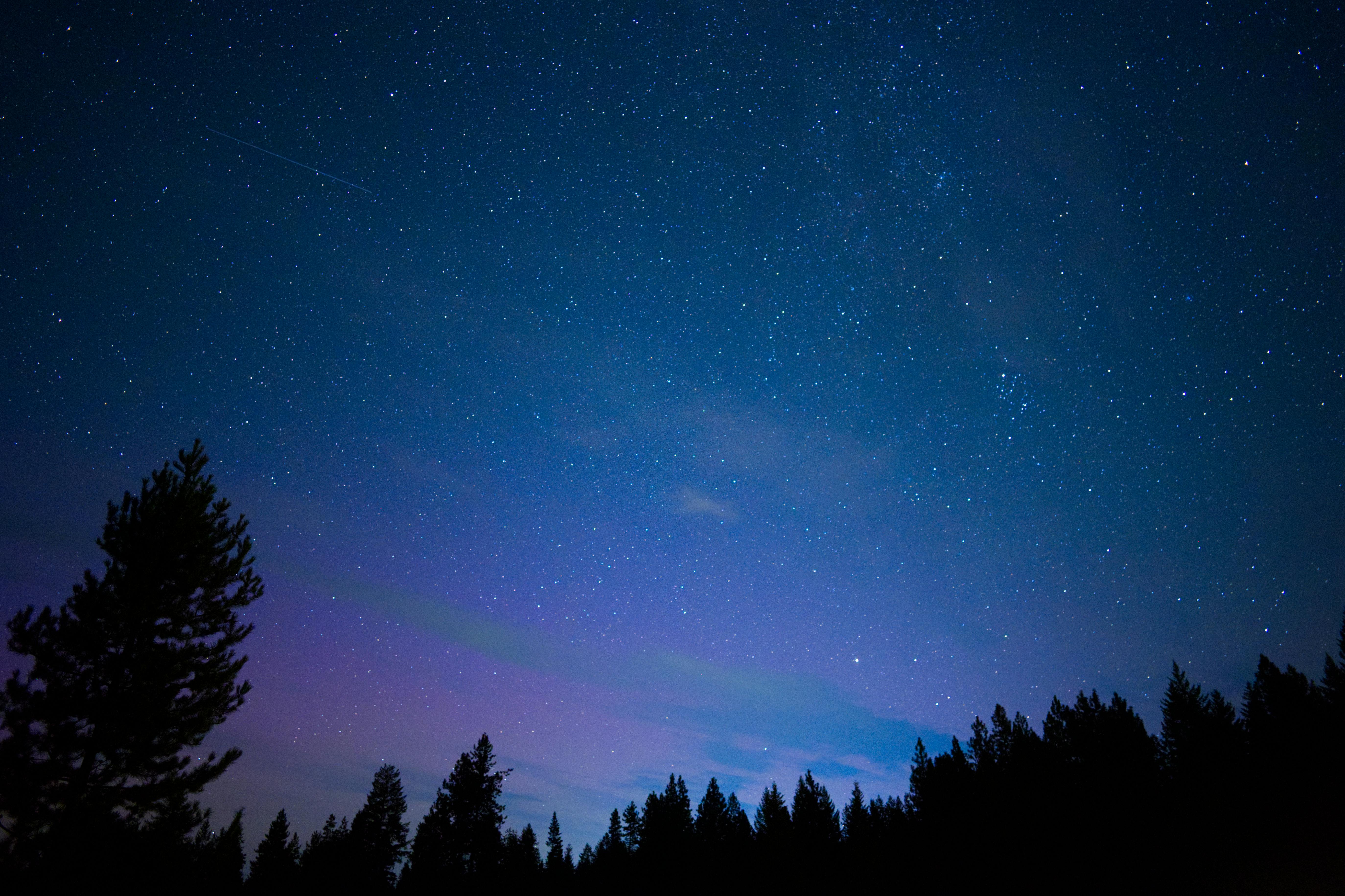
In the Northern Hemisphere, Polaris, the North Star, is one of the most dependable celestial guides. It sits almost directly above true north, which means once you find it, you can quickly establish the other cardinal directions. The easiest trick is to locate the Big Dipper and use the two outer stars of its bowl to point toward Polaris.
Polaris is not the brightest star in the sky, which surprises a lot of people. But it stays relatively fixed while other stars appear to rotate around it. On a clear night, that steadiness can be a huge advantage when landmarks disappear into darkness and every trail starts to look the same.
Reading the Southern Cross
South of the equator, travelers do not have Polaris, but they do have another famous sky marker. The Southern Cross can help you estimate south by extending the long axis of the cross about 4 1/2 times to a point in the sky, then dropping an imaginary line to the horizon.
This method takes practice because nearby stars can create look-alike patterns, and cloud cover can ruin the whole plan. Still, for people in Australia, New Zealand, southern Africa, and parts of South America, it is a classic orientation tool that connects modern emergency know-how with very old traditions of movement across open country.
Watching Moss and Moisture Carefully
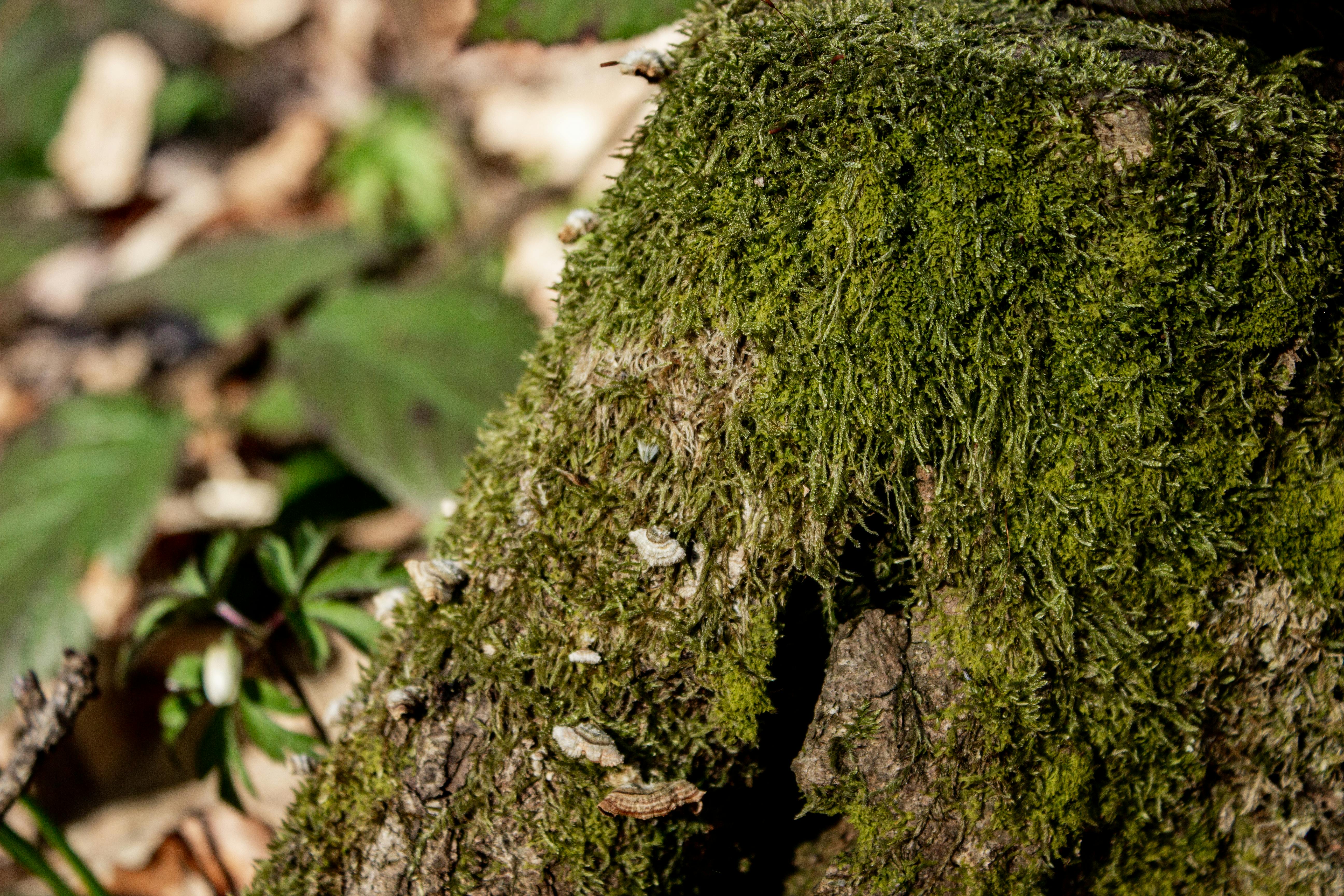
You have probably heard that moss always grows on the north side of trees. It is a catchy idea, but the truth is messier and more useful. Moss and lichen tend to favor damp, shaded conditions, which can sometimes mean the side of a tree or rock that gets less direct sun. In some places, that pattern may hint at direction.
The problem is that local moisture, wind, slope, and canopy cover matter more than folklore. Treat moss as one clue, never the clue. If several nearby trees show the same damp side and it matches other signs, it can help confirm your sense of direction instead of becoming a shortcut to getting more lost.
Studying Tree Growth and Bark

Trees can reveal a lot if you stop rushing past them. In windy areas, exposed trees may lean in consistent directions, and branches can grow fuller on the side that gets more sunlight. Bark may also differ from one side to the other, with rougher, damper, or darker surfaces where sun exposure is lower.
None of this is universal, which is why experienced outdoors people look for patterns across many trees rather than making a call from a single trunk. Think of the forest as a collection of hints. When tree shape, branch spread, and bark conditions all point the same way, your directional guess starts becoming more trustworthy.
Tracing Rivers and Drainage

Water almost always leads somewhere, and that makes it an important navigation partner. Small trickles join streams, streams feed rivers, and rivers often pass through valleys where people build roads, bridges, farms, or settlements. If you are trying to reach civilization, following drainage downhill can be a logical strategy.
That said, river travel is not automatically safe. Canyons, cliffs, rapids, swampy banks, and dense vegetation can turn a promising route into a hazard. The smarter move is to use waterways as a large-scale guide rather than blindly following the edge. Read the terrain around the water, not just the water itself.
Reading Ridgelines and Valleys
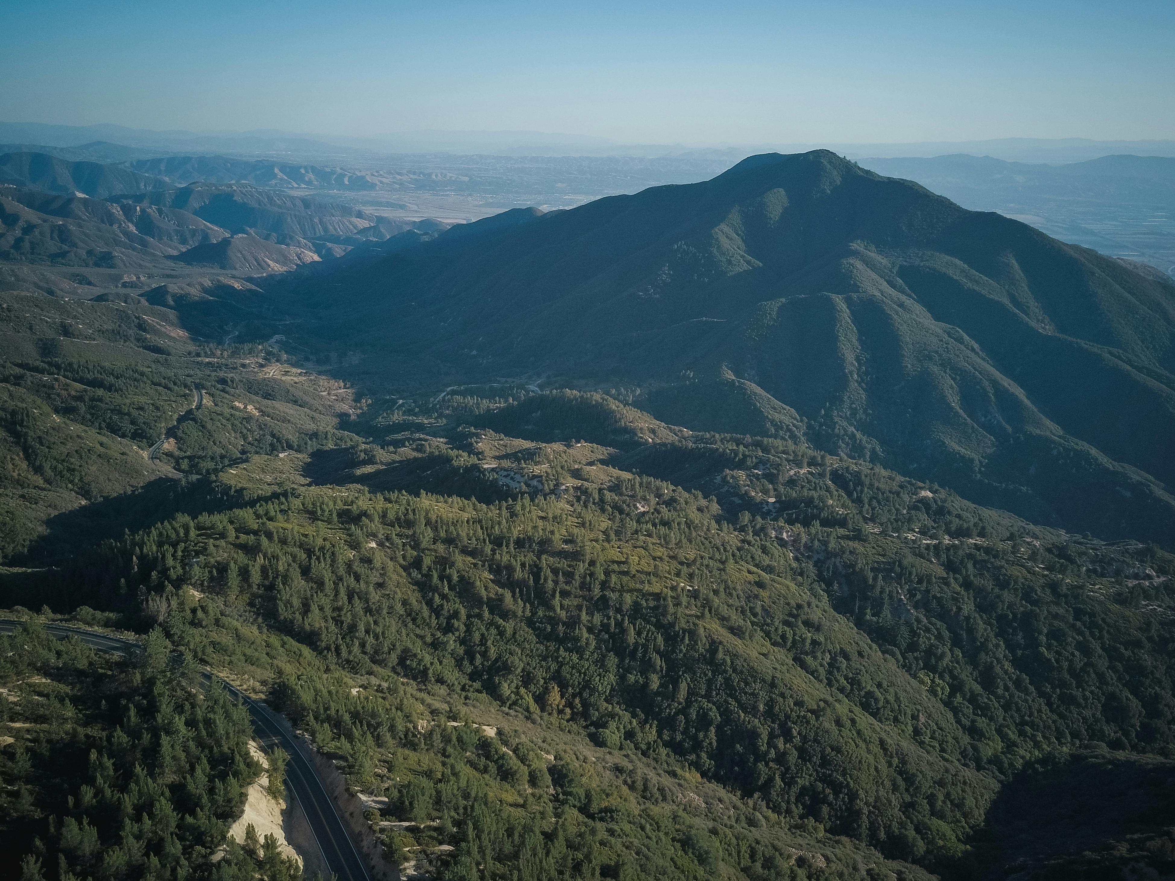
Big landforms are often more reliable than small details, especially when stress starts scrambling your judgment. Ridgelines, saddles, valleys, and passes create natural pathways through the landscape, and they are easier to recognize from multiple vantage points. If you know where a road, lake, town, or trail system sits relative to a major ridge, that feature can anchor your thinking.
Climbing slightly for a better view can be worth the effort if conditions are safe. From above, the terrain starts to make sense as a system instead of a maze. You may spot drainage direction, gaps between hills, or a distant landmark that tells you exactly which way to move next.
Using the Wind and Weather Pattern
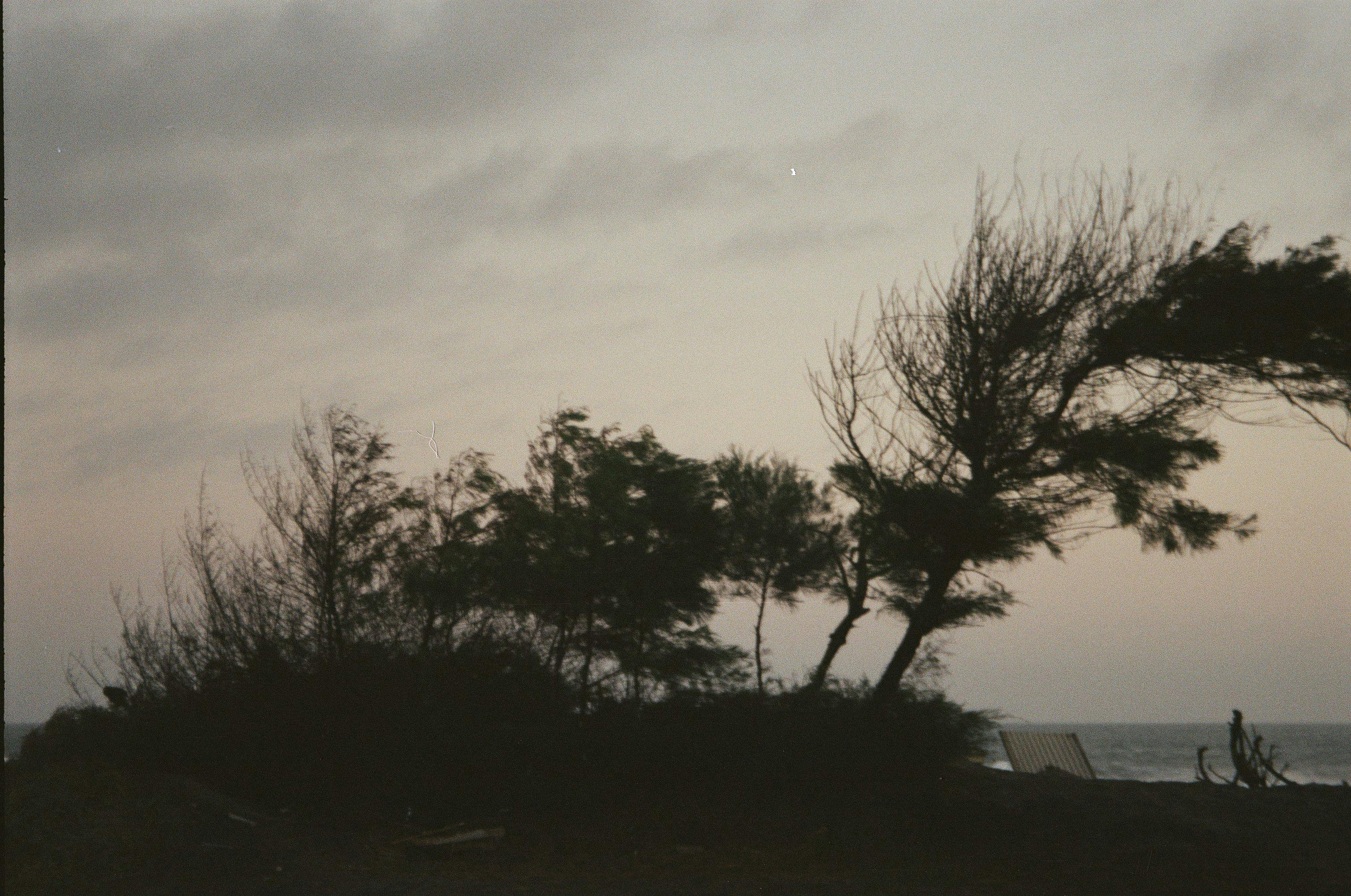
Wind is easy to feel and tempting to trust, but it works best as a regional clue rather than a compass. In many places, prevailing winds shape trees, snow drifts, sand dunes, and even the way clouds stack over ridges. If you know the usual weather pattern for an area, those signs can help you maintain orientation.
The catch is that local terrain bends and funnels air in misleading ways. A canyon breeze can feel steady while pointing nowhere useful on a larger map. Use wind only when it agrees with other evidence, such as dune shape, storm movement, or the consistent lean of vegetation across a broad stretch of ground.
Recognizing Human Traces
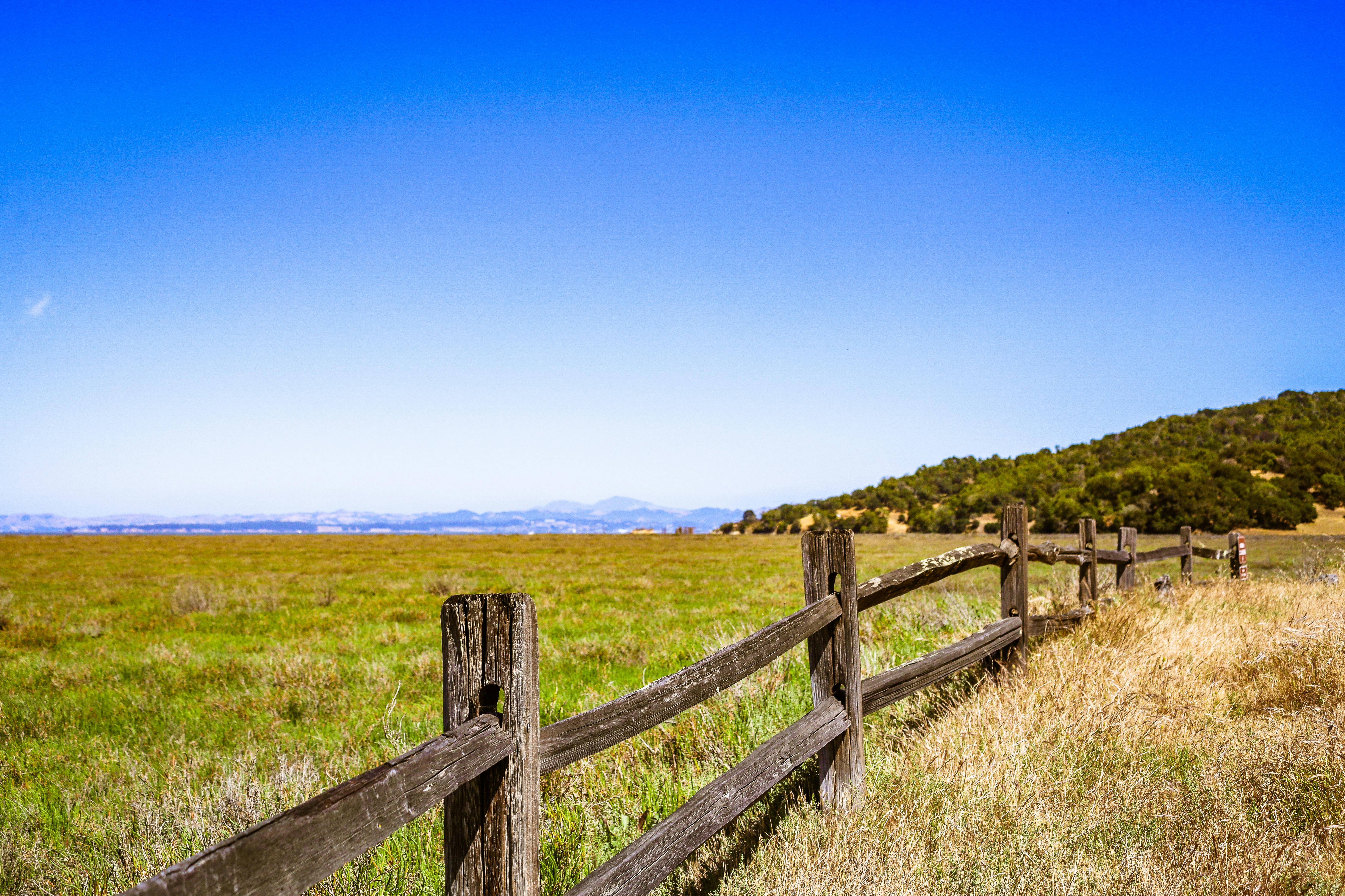
Even in places that feel empty, people leave signals. Fence lines, cut stumps, power corridors, old wagon ruts, trail blazes, footprints, and bits of litter can all suggest where regular travel happens. Utility poles and fences are especially helpful because they often run in long, purposeful lines toward roads, property edges, or inhabited areas.
This is one method that rewards calm observation over speed. Slow down and scan the edges of clearings, stream crossings, and hilltops where signs of use tend to show up. A faint path may not look impressive, but in the backcountry, the smallest hint of human structure can completely change your next decision.
Improvising a Magnetized Needle Compass
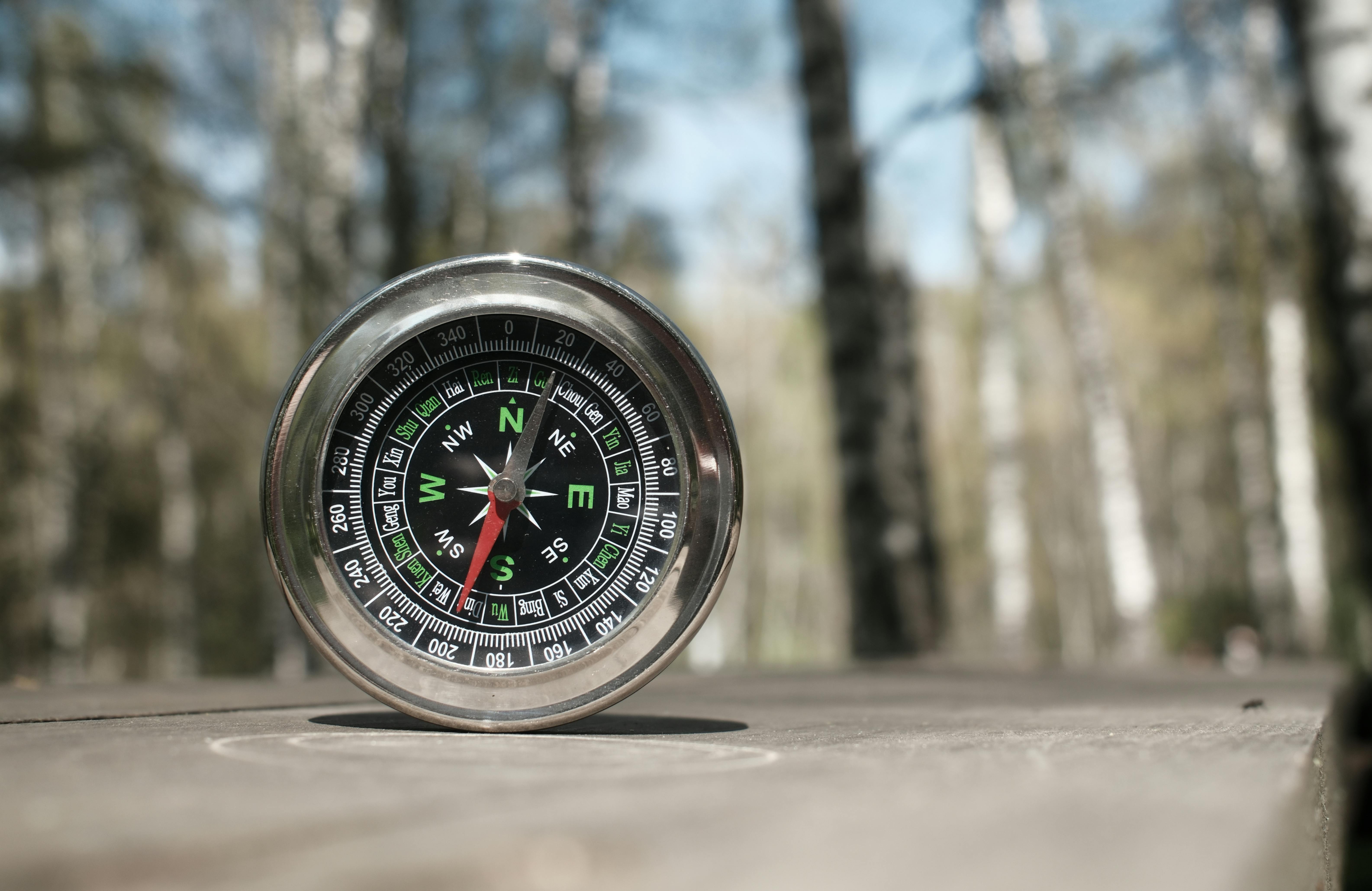
If you have a steel needle, pin, or thin wire and a way to magnetize it, you can build a simple compass. Rubbing the metal repeatedly in one direction with silk, wool, hair, or a magnet may align it enough to float on a leaf in water or balance on a tiny pivot. One end should settle roughly toward magnetic north.
This trick is clever, but it is not foolproof. Nearby metal, shaky water, and weak magnetization can produce bad readings. Use it as a confirming tool, not a single source of truth. When it agrees with the sun, stars, and terrain, your confidence goes up dramatically.
Backtracking and Maintaining a Bearing
Sometimes the smartest navigation method is not finding a new way forward but recognizing you have drifted and deliberately reversing course. If the terrain ahead feels wrong, visibility is dropping, or clues stop matching, backtracking to your last known point can prevent a small mistake from becoming a full-scale search operation.
Once you regain a reliable reference, pick a clear bearing using a mountain peak, distinctive tree, rock outcrop, or star and move toward it while checking behind you often. Looking back matters because the return view is what you will see if you need to retrace your steps. Primitive navigation is as much about discipline as direction.


