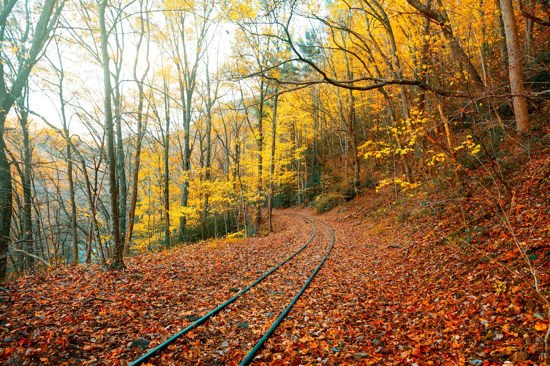
Rail travel in Europe doesn’t just connect cities—it opens gateways to spectacular hiking trails. According to data from European rail networks and regional tourism boards, several routes offer seamless access to trails directly from train stations. From alpine passes to coastal walks, these lines combine efficient rail connections with memorable hikes, making them ideal for travelers who prefer car-free adventures.
Rhaetian Railway: Hiking the Swiss Alps from Station to Summit

The UNESCO-listed Rhaetian Railway links Chur to Tirano, passing through 55 tunnels and across 196 bridges. Stops like Preda and Filisur give access to the Albula Trail, a 6 km path paralleling the railway and showcasing viaducts such as the 65-meter-high Landwasser Viaduct. From Ospizio Bernina, hikers can set off toward the Morteratsch Glacier. The line’s integration with Switzerland’s hiking network makes it one of the most trail-accessible railways in Europe.
Bergensbanen: Norway’s Mountain Hiking Corridor

Running 496 km between Oslo and Bergen, Bergensbanen reaches the Hardangervidda plateau at 1,237 meters, the highest point on Norway’s railways. Stations like Finse, accessible only by train, serve as trailheads for the Rallarvegen cycle and hiking route stretching 82 km toward Flåm. In summer, hikers can explore glaciers like Hardangerjøkulen directly from Finse station, making the line an unmatched blend of long-distance hiking and rail travel.
Kinnekullebanan: Sweden’s Wildflower Trails by Rail

Kinnekullebanan runs 132 km from Hallsberg to Mariestad, with stations that lead directly into the Kinnekulle Plateau Biosphere Reserve. The reserve features over 900 flowering plant species, best seen in spring when wild garlic and orchids bloom. Stops like Råbäck offer immediate access to trails along Lake Vänern’s limestone cliffs. The line is operated by Västtrafik and integrates with Sweden’s national hiking routes, making it a hidden gem for nature-focused walks.
Cinque Terre Express: Coastal Paths Above the Mediterranean

This 19 km line runs between La Spezia and Levanto, stopping at all five Cinque Terre villages. Each station is a gateway to the Sentiero Azzurro, the famed Blue Trail, which stretches 12 km along cliffs overlooking the Ligurian Sea. Riomaggiore to Manarola offers a 1 km paved stretch known as Via dell’Amore, while Monterosso to Vernazza provides steeper climbs through terraced vineyards. The train’s frequency makes one-way hikes easy to plan.
Chemins de Fer Luxembourgeois: Forest Treks in the Ardennes

Luxembourg’s CFL lines connect directly with the Mullerthal and Ardennes regions, offering access to over 5,000 km of marked hiking trails. The CFL Hiking Maps link 78 stations with routes ranging from 5 km loops to multi-day treks. For example, from Clervaux station, hikers can join the Escapardenne Eislek Trail, a 106 km route through river valleys and high plateaus. CFL’s “Gare à Gare” initiative ensures every railway stop doubles as a trailhead.
French Riviera Rail: Seaside Paths from Nice to Menton

The coastal rail line from Nice to Menton spans 30 km with 18 stations, many of which connect directly to Riviera hiking routes. From Èze-sur-Mer, a 90-minute climb leads to the medieval village of Èze at 429 meters, offering panoramic views. Cap Martin, accessible from Carnolès station, features a 5 km coastal trail used by Winston Churchill. With regional TER trains running up to four times per hour, hikers can easily explore multiple sections.
Cercanías AM: Hiking the Green Routes of Madrid’s Outskirts

Madrid’s Cercanías suburban rail network covers over 370 km, with lines like C-8 and C-9 providing direct access to the Sierra de Guadarrama National Park. From Cercedilla station, travelers can hike the 14 km Camino Schmidt, a forested trail at 1,700 meters altitude. The C-9 line, known as El Tren de la Naturaleza, climbs to Puerto de Cotos, where trails lead into Peñalara Natural Park, home to glacial lakes and the region’s highest peak at 2,428 meters.
Centovalli Line: Alpine Cross-Border Hikes

The 52 km Centovalli Railway links Domodossola in Italy with Locarno in Switzerland, crossing 83 bridges through narrow valleys. Stops like Intragna and Verdasio connect directly to the Centovalli Trail, a 45 km route spanning both countries. From Verdasio, hikers can take a cable car to Rasa, a car-free village with access to trails overlooking Lake Maggiore. With hourly services and scenic viewpoints, the line combines alpine hiking with historic rail engineering.


