
Navigating without a compass is an empowering skill for any outdoor enthusiast. In 2025, hikers, trekkers, and explorers benefit from understanding natural cues, even in an age dominated by GPS. Mastering these techniques not only ensures safety but also strengthens observation, patience, and problem-solving in the wilderness. From reading the sun and stars to interpreting natural and human-made markers, these seven skills combine traditional wisdom with practical modern application.
1. Reading the Sun’s Position
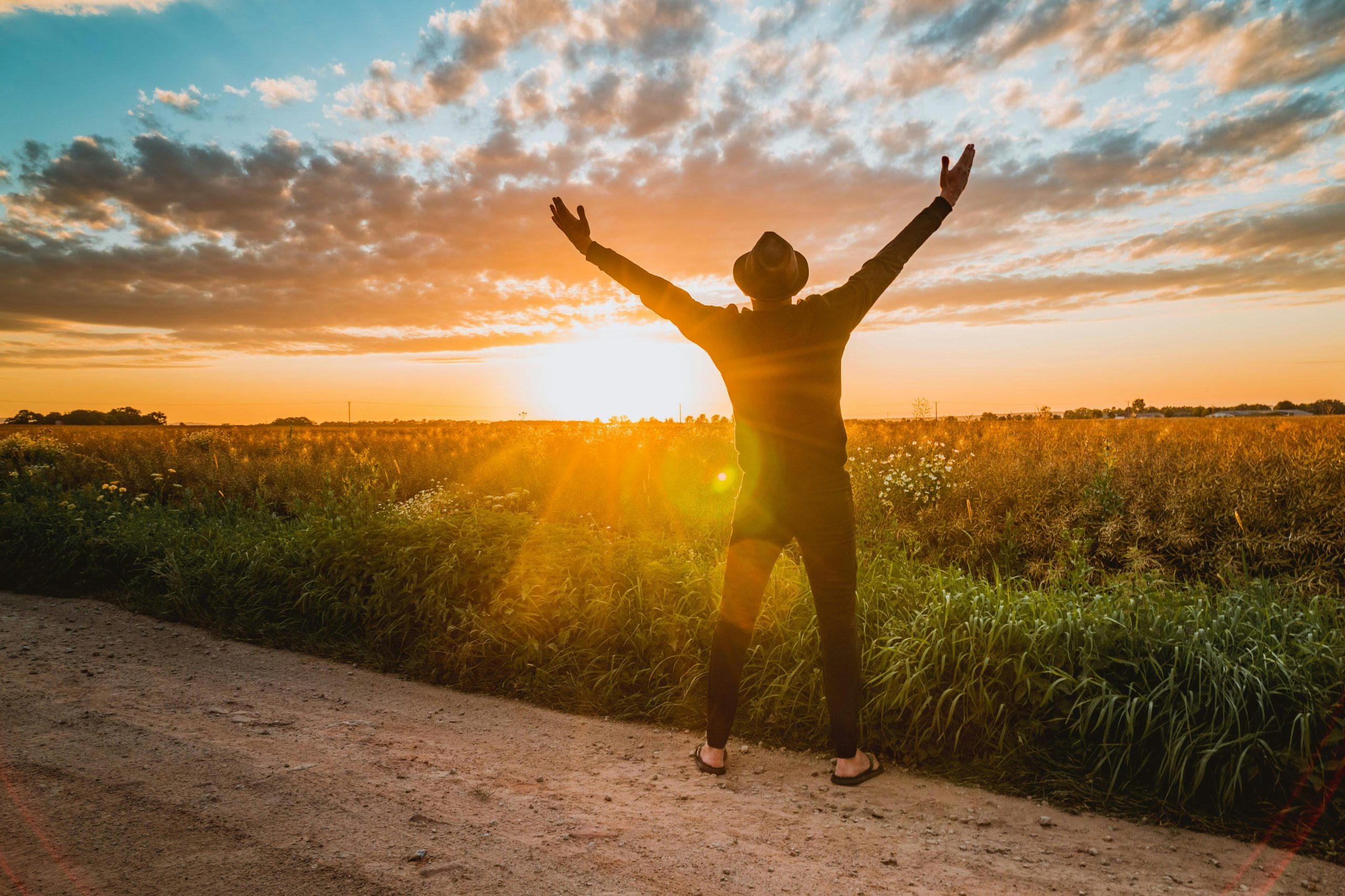
The sun is a reliable daytime guide. It rises in the east and sets in the west, providing a natural directional reference. Around noon, it reaches its highest point, roughly indicating south in the northern hemisphere. Observing the sun along with shadows cast by trees or rocks allows hikers to maintain a straight path. This simple method, combined with mental mapping, can help you estimate direction accurately without relying on electronic devices, making outdoor travel safer and more intuitive.
2. Using Stars for Night Navigation
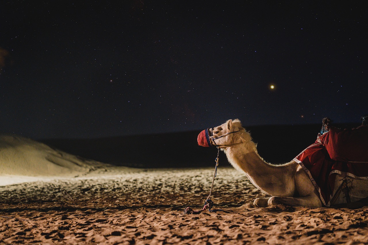
Stars offer an age-old navigation system. In the northern hemisphere, the North Star (Polaris) stays nearly fixed in the sky, serving as a reliable guide. Learning to identify major constellations like Orion or Cassiopeia can help determine east, west, or south at night. While this skill requires patience and practice, it provides confidence when trails are dark or landmarks are obscured. Nighttime star navigation fosters self-reliance and enhances your ability to read the natural environment effectively.
3. Observing Natural Landmarks

Mountains, valleys, and rivers are natural navigation tools. Recognizing prominent features in your surroundings allows you to track progress and avoid disorientation. Ridge lines, peaks, and river bends act as fixed reference points, helping you form a mental map. Combining this with previous knowledge from maps or previous hikes strengthens orientation skills. Paying close attention to terrain, elevations, and visible formations ensures you can maintain direction even in unfamiliar or challenging environments.
4. Following Vegetation Patterns
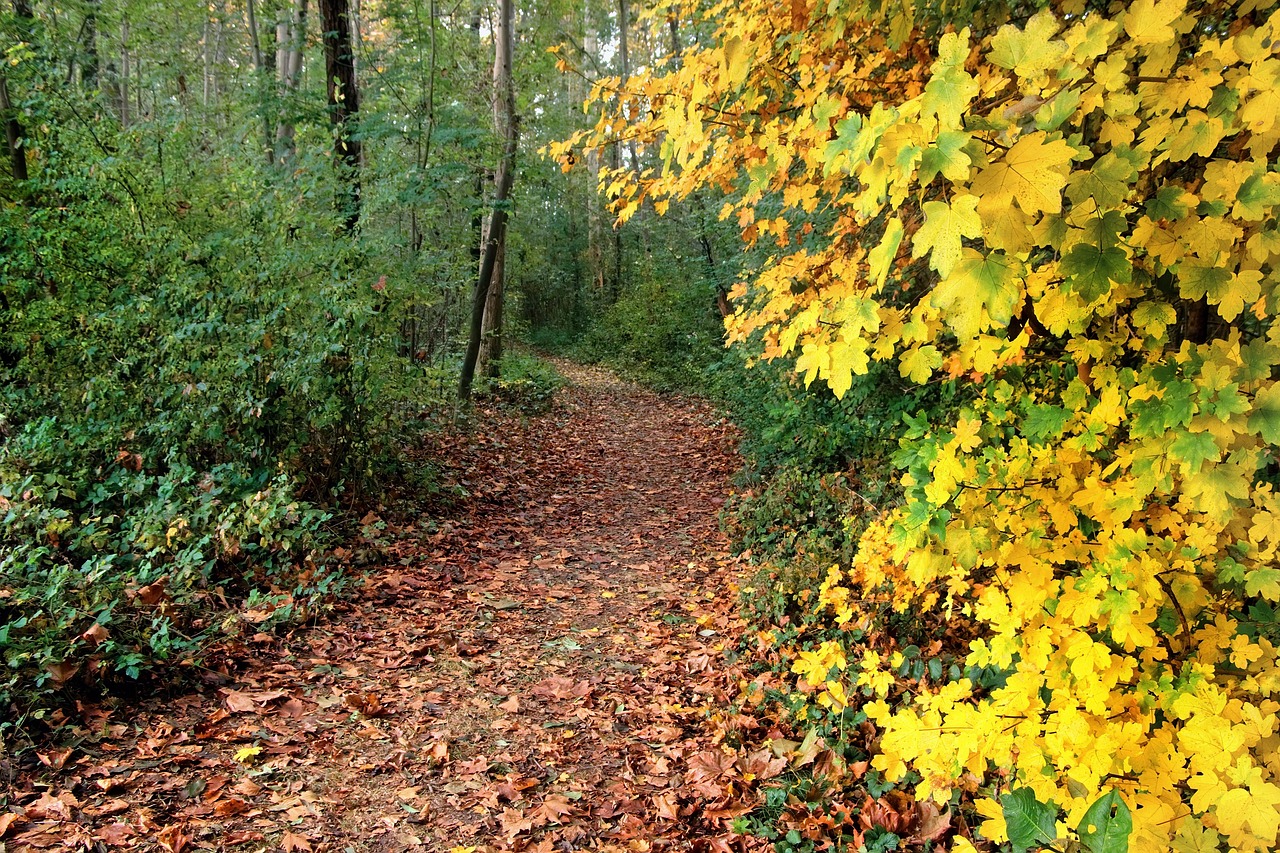
Nature subtly indicates direction through plant growth. Moss typically thrives on the north side of trees in the northern hemisphere due to limited sunlight. Certain trees, shrubs, or grass patterns also reveal sunlight exposure and slope orientation. Observing these natural signs carefully allows hikers to infer general directions when landmarks are absent. This method encourages mindfulness and deepens awareness of the ecosystem, turning ordinary plant observation into a practical navigational skill.
5. Using Shadows and Stick Methods

A shadow stick is a simple but effective navigation technique. Place a stick vertically in the ground and mark the tip of its shadow at regular intervals. The first mark roughly points west, the second east, establishing an approximate east-west line. Using this method alongside the sun’s position and surrounding terrain enables accurate direction estimation. It’s especially useful in open areas where landmarks are sparse. Practicing this method strengthens observational skills and reinforces a hands-on approach to natural navigation.
6. Tracking Water Flow and River Directions
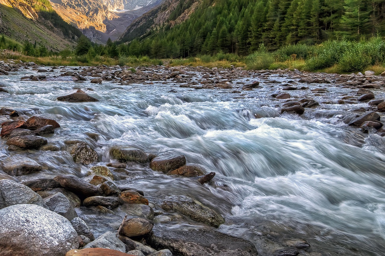
Rivers and streams can guide outdoor explorers. Water usually flows toward larger bodies, settlements, or lower elevations. Observing current direction, bends, sediment deposits, and surrounding vegetation indicates upstream and downstream orientation. Hikers can follow rivers to maintain general direction, identify safe crossing points, or locate potential campsites. Integrating water flow observation with other natural navigation techniques provides a reliable method to traverse wilderness areas without relying on maps or electronics.
7. Recognizing Human-Made Markers
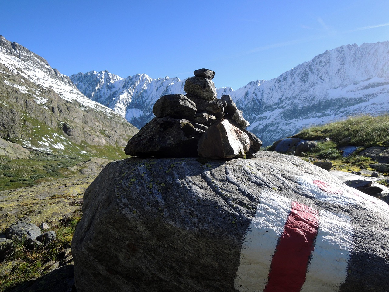
Even without a compass, human markers are invaluable. Trail signs, cairns, fences, and old roads offer orientation clues. Learning to interpret subtle signs, such as worn paths or utility poles, complements natural navigation methods. Combining these indicators with knowledge of sun position, stars, and landscape features creates a versatile system for staying oriented. Recognizing these markers enhances safety, allows efficient route planning, and connects modern explorers to both history and the environment.


