
According to the National Outdoor Leadership School, disorientation is a leading factor in wilderness accidents, contributing to over 40% of search-and-rescue incidents in the U.S. annually. Knowing how to locate north without a compass can significantly reduce risk and improve navigation. The methods below rely on the sun, stars, natural clues, and improvised tools, and have been tested in field survival studies to give reliable directional guidance.
Track the Sun for Direction
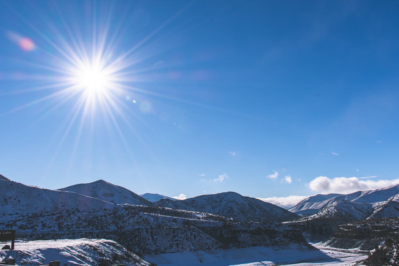
The sun rises roughly in the east and sets in the west, which provides a simple reference for orientation. Between 9 a.m. and 3 p.m., its angle can indicate approximate cardinal points. At local noon, the sun reaches its highest point and is due south in the Northern Hemisphere. Research by the U.S. Forest Service shows that even a rough estimate of solar position can help hikers reduce navigational errors by up to 50% in daylight conditions. To find north, face the sun at noon and look directly opposite.
Use Shadows to Estimate North

Shadow-based methods work well when the sun is visible but high-tech tools are unavailable. One technique involves placing a stick vertically in the ground and marking the tip of its shadow. Wait 15–20 minutes and mark the new shadow tip. Drawing a line between the first and second marks gives an approximate east-west axis; standing with the first mark to your left points north. Experiments from survival training courses show that this method is accurate within 10–15 degrees, sufficient for general navigation.
Tell Time and Find North with a Watch
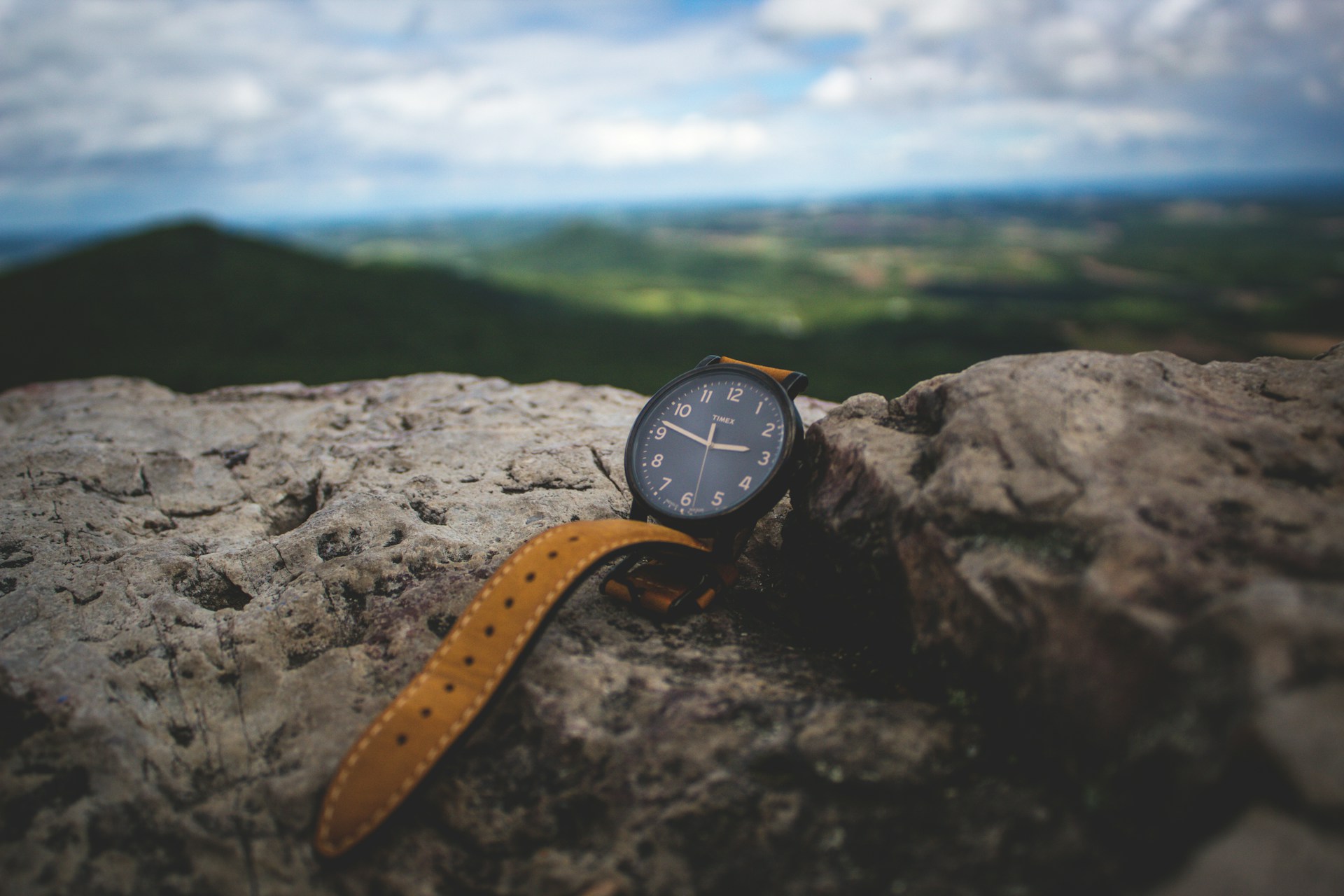
An analog watch can act as a makeshift compass. In the Northern Hemisphere, point the hour hand at the sun and bisect the angle between the hour hand and 12 o’clock to determine the south-north line. Studies by the Appalachian Mountain Club demonstrate that this technique is about 85% accurate under clear skies. In the Southern Hemisphere, point the 12 o’clock mark at the sun instead. Accurate timing is essential, so synchronize your watch to local time before venturing into remote areas.
Navigate Using the Night Sky
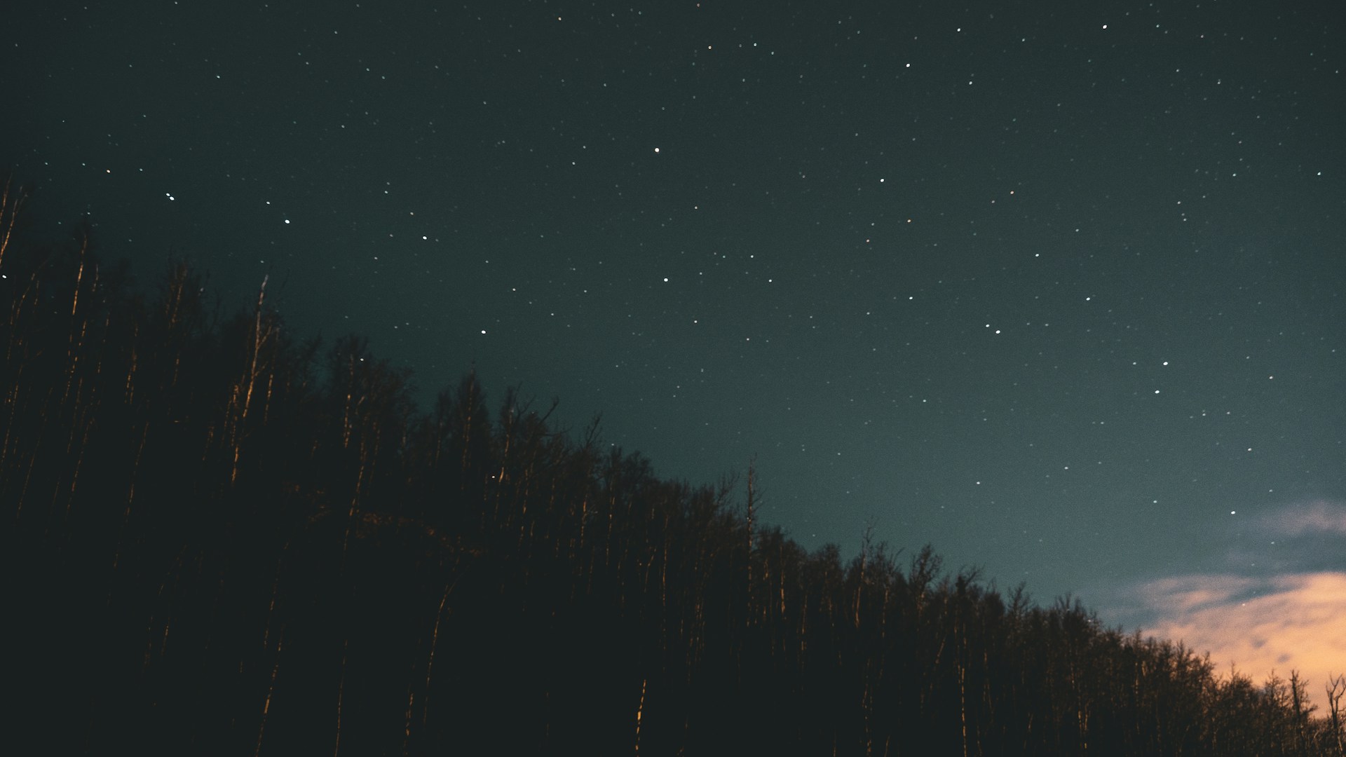
Celestial navigation is highly reliable when the sun is unavailable. In the Northern Hemisphere, Polaris, the North Star, remains almost stationary above true north. Measure the angle above the horizon to estimate your latitude as well. In the Southern Hemisphere, the Southern Cross constellation can provide a southward reference. NASA and field survival studies confirm that even casual stargazers using simple alignment techniques can locate cardinal directions with an error margin of only 5–10 degrees, making it invaluable for night navigation.
Read Vegetation and Natural Landmarks

Certain natural features can indicate general directional trends. In temperate forests, moss often grows thicker on the north side of trees due to reduced sunlight exposure. Tree growth rings and slope water drainage patterns may also hint at north-south orientation. The U.S. Army Field Manual 3-25.26 suggests combining multiple clues to reduce error, as relying on a single indicator can be misleading in shaded, uneven, or disturbed terrain. Using vegetation and topography together improves directional estimates by roughly 30% compared to a single method.
Interpret Wind and Water Patterns

Prevailing wind and water flow patterns can provide approximate orientation. In North America, dominant winds in temperate zones often come from the west. Rivers generally flow downhill, following local topography, and mapping their confluence can help identify cardinal directions. NOAA studies on wind patterns show that combining these clues with sun observations can reduce navigational errors by 20–25%. Always cross-check with multiple indicators to avoid misdirection caused by local anomalies or seasonal shifts.
Build an Improvised Compass
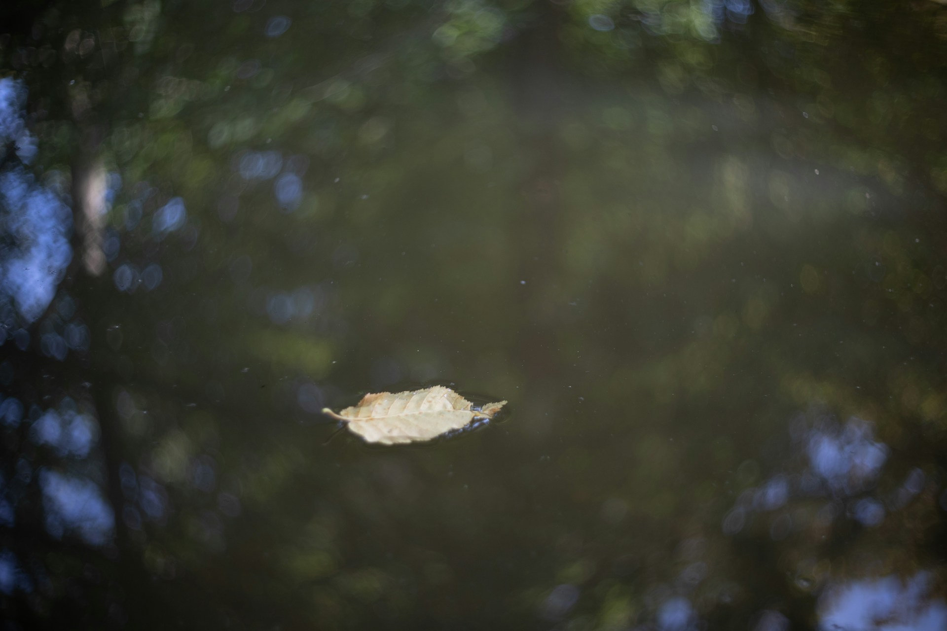
A simple compass can be made using a magnetized needle and water. Magnetize a needle by rubbing it with silk or wool, then float it on a small leaf or cork in a puddle. The needle aligns with the Earth’s magnetic field, pointing roughly north-south. Experiments conducted in survival schools show this method is accurate within 15 degrees if the needle is properly magnetized and stabilized. This technique is lightweight, requires minimal materials, and can be invaluable when other navigation tools are unavailable.


