
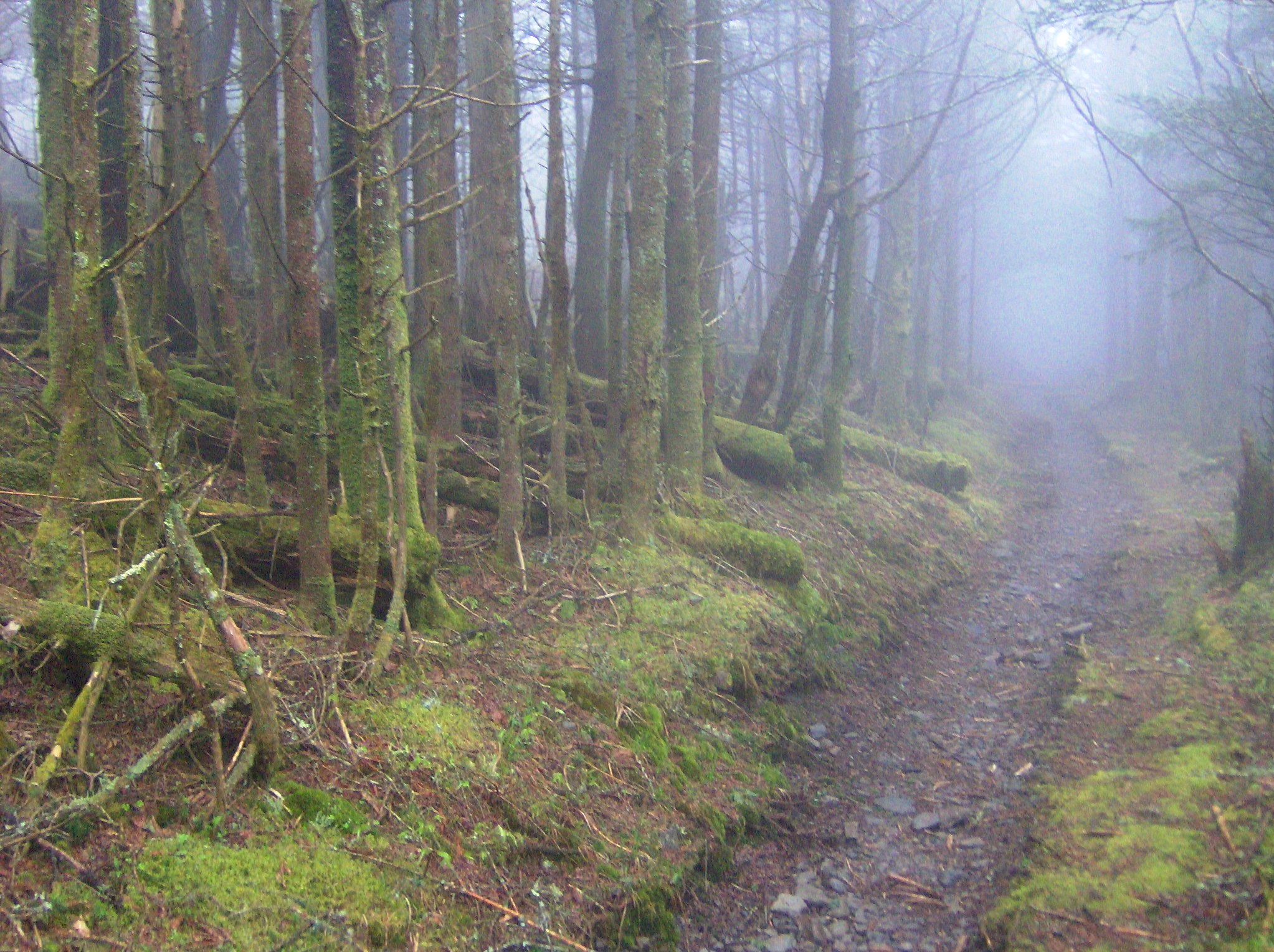
North Carolina’s ridge trails can feel both exhilarating and disorienting, especially when long stretches of winding paths begin to resemble one another. Hikers often rely on major viewpoints, high peaks, or marked intersections, yet the smaller details, those subtle, easy-to-miss features scattered along the terrain, can be just as important for staying oriented. These micro-landmarks help you track progress, recognize sections you’ve already covered, and build a mental map of the route as you go. By paying attention to textures, sounds, and recurring natural patterns, you gain a deeper sense of the trail’s rhythm. The following twenty micro-landmarks are practical, reliable details that can help you stay grounded as you move along these beautiful ridge systems.
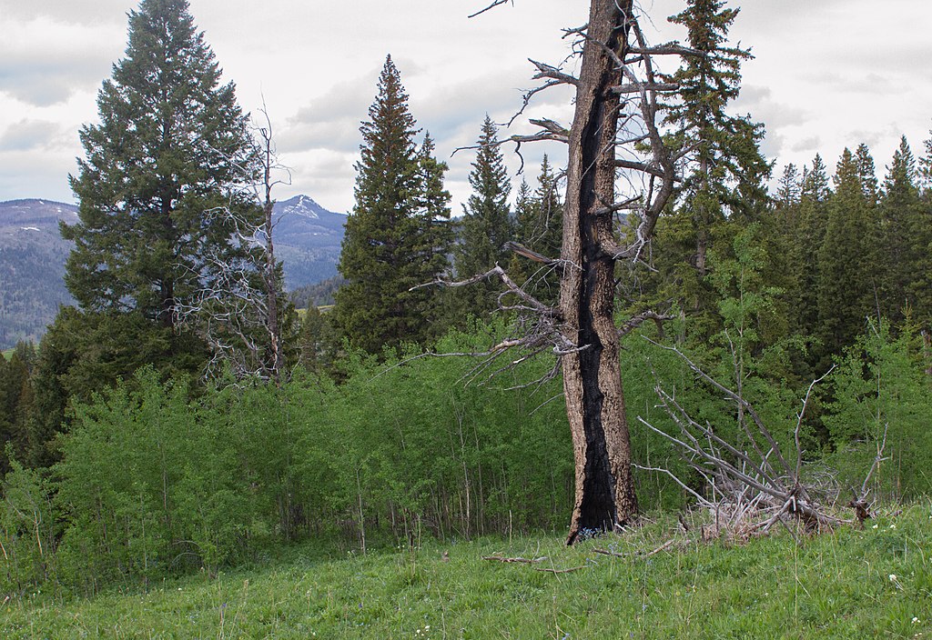
1. Distinctive Bark Patterns on Old-Growth Trees
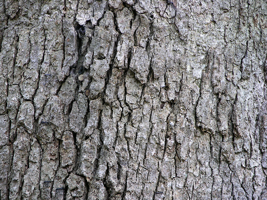
Old-growth trees along North Carolina ridge lines often carry striking bark patterns that naturally stand out once you learn to spot them. Deeply furrowed white oak bark, the blocky plates of mature chestnut oaks, or the shaggy ribbons of hickories can become subtle but trustworthy reference points during long climbs. These trees typically grow in consistent intervals on certain slopes, and recognizing their texture helps orient you when trail markers thin out. The trees’ positions relative to bends or elevation changes provide clues about your progress, especially when the forest density makes distant landmarks hard to see.
2. Moss-Covered Rock Ledges Near Moist Hollows
Moist, shaded hollows along ridge trails often support vivid green mosses that blanket rock shelves like soft, textured carpet. These ledges form in consistent geological layers, creating recognizable patterns that reappear as you traverse similar elevations. The depth of the moss, the moisture underfoot, and the cooler air surrounding these spaces give your senses something to latch onto when all else looks similar. By noting the relationship of these mossy shelves to nearby slopes or creeklets, you can identify sections you’ve passed before or confirm that you’re nearing a particular segment of the trail.
3. Wind-Carved Gaps in Rhododendron Thickets
Rhododendron tunnels are iconic throughout North Carolina’s ridges, but the smallest gaps carved by crosswinds become dependable markers with experience. These openings form in repeatable spots, often on exposed bends where prevailing winds push through the evergreen maze. The shape of each gap, whether narrow like a doorway or wide like a natural archway, helps you remember where you are. As you return or loop around, those same carved spaces serve as signposts that you’re either approaching a ridge shoulder or transitioning into a less sheltered section. Their consistency makes them surprisingly effective navigational anchors.
4. Split-Trunk Hemlocks Standing at Ridge Corners
Despite past hemlock die-offs, many ridge corners still host distinctive split-trunk specimens that grow like natural gatekeepers. Their divided trunks create striking silhouettes and naturally draw your eye back to the point where the trail changes direction. These trees tend to grow where soil pockets collect moisture, making them relatively stable landmarks even during seasonal changes. When fog rolls across the ridge or daylight begins to fade, the familiar form of these twin-column hemlocks gives reassurance that you’re nearing a switchback or crest transition you’ve encountered earlier in your hike.
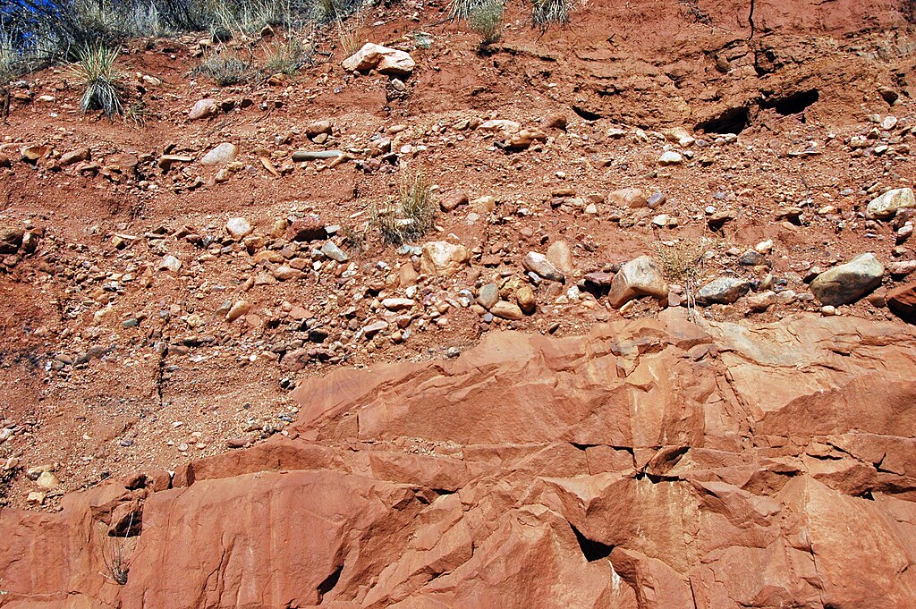
5. Quartz Veins Running Across Exposed Bedrock
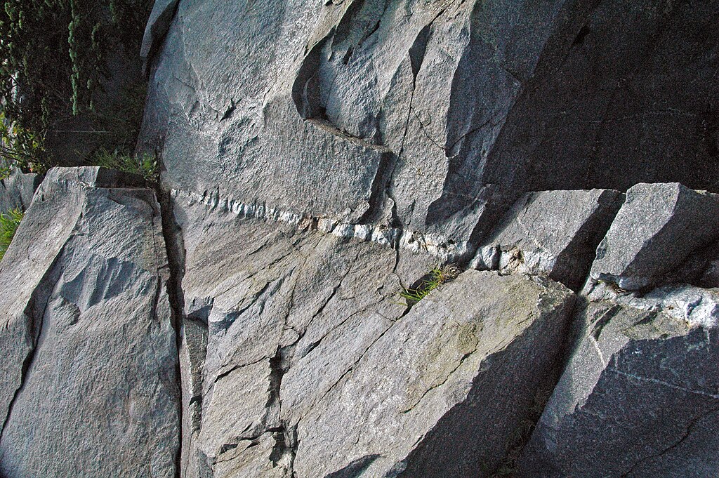
On ridgeline scrambles, white quartz veins slicing through darker rock create sharp visual contrasts that stick in your memory. These mineral seams tend to appear in repeating geological bands, forming bright stripes that cross the trail like natural markers. Their shine catches the sun at certain angles, helping you recognize slopes during return trips or when cloud cover shifts. The orientation of the quartz is sometimes diagonal, sometimes straight across adds extra detail your mind can store. When trails lack blazes, these striking white lines become subtle guides that remind you of previous passes along the ridge.
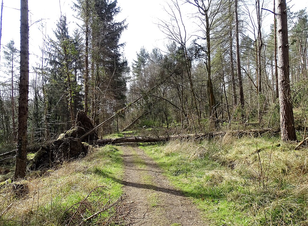
6. Treefall Patterns After Seasonal Storms
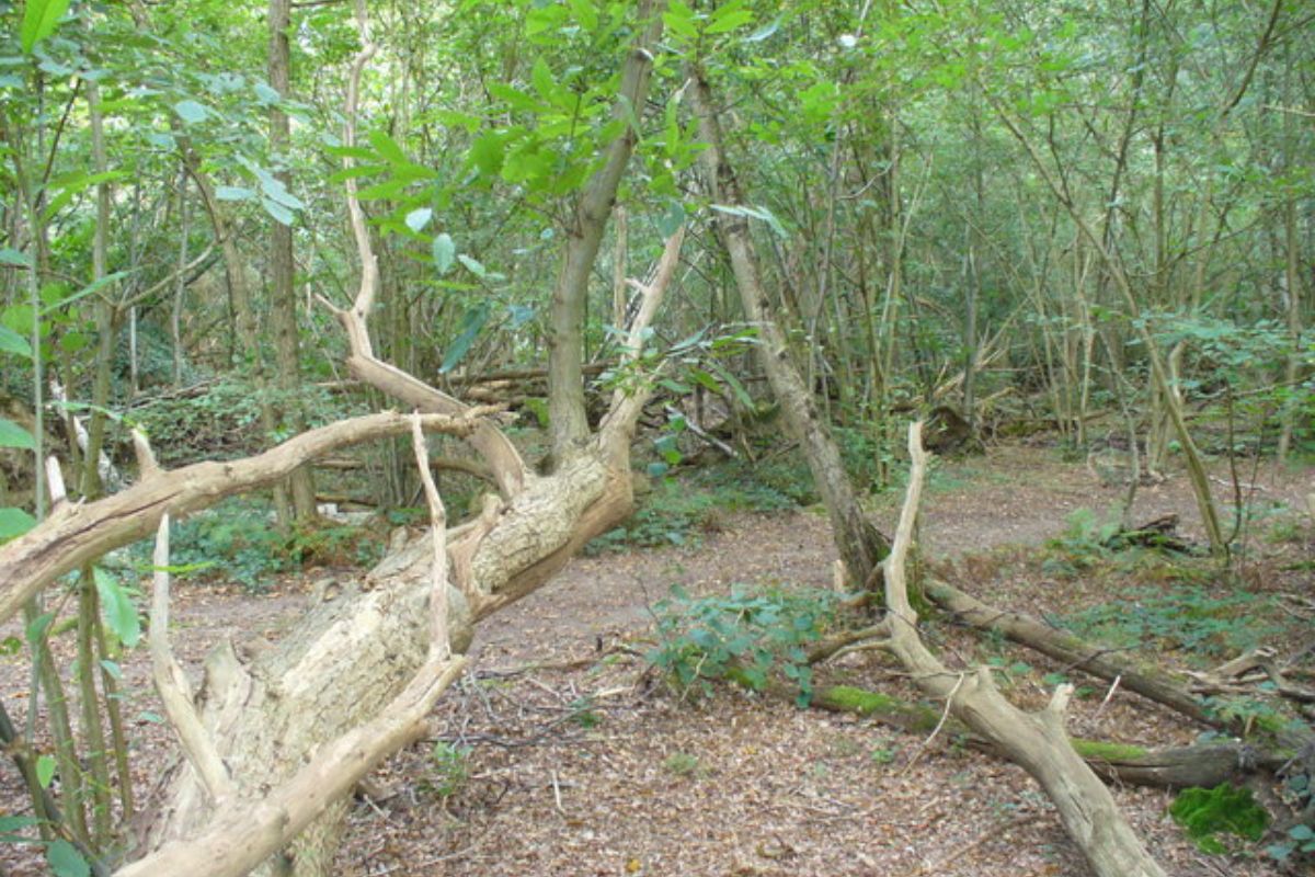
Fallen trees often form recognizable arrangements along exposed ridges where storms hit hardest. The direction in which they fall, frequently leaning downslope with wind patterns, creates predictable orientations you can use as a quiet navigational tool. Some areas accumulate multiple downed trunks that form natural corridors or step-over sequences you’ll remember from earlier trips. Because these patterns persist for months or even years before decomposing, they can serve as reliable micro-landmarks that confirm whether you’ve reached a familiar stretch or are heading into new terrain you haven’t covered before.
7. Fern Patches Appearing Only on Cooler North Slopes
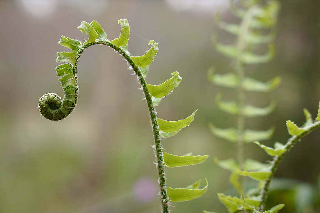
North-facing slopes along ridge trails maintain cooler temperatures and higher moisture, making them perfect for patches of Christmas ferns, lady ferns, or mountain wood ferns. These lush clusters often stand out as you move between warm, sun-exposed sections and unexpectedly shaded pockets. Their presence reliably signals that you’re skirting a north-oriented side of the ridge or approaching a dip between peaks. Over time, the spacing of these fern patches becomes a natural breadcrumb trail that helps you gauge distance, especially when other plants remain dormant, and the landscape feels visually repetitive.
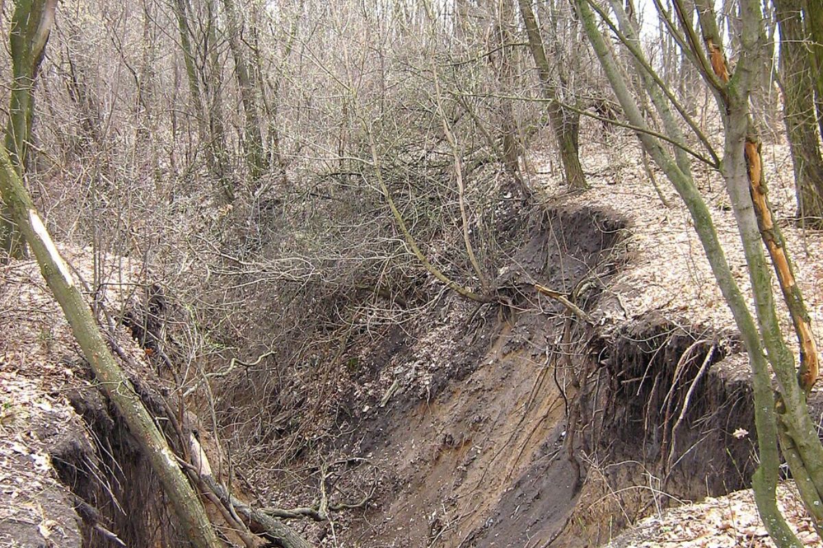
8. Natural Water Seep Lines Cutting Across Soil
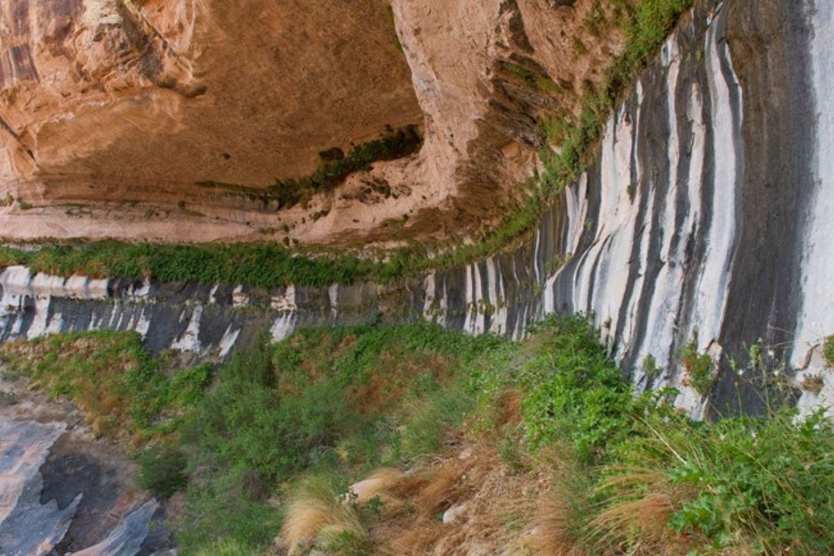
Even during dry spells, subtle seep lines etched across the soil mark places where groundwater pushes gently toward the surface. These dark, damp streaks often run perpendicular to the trail and hint at nearby springs or underground channels. Their texture differs from the surrounding dirt, offering a tactile cue underfoot. Because seep lines form in consistent geological places year after year, they’re dependable indicators that you’re entering specific ridge segments. Recognizing them helps you anticipate cooler air, thicker vegetation, or approaching saddle points that repeat the same moisture-based patterns across the landscape.
9. Unique Bird Calls Echoing in Specific Elevation Zones

Certain bird species favor defined elevation bands along North Carolina’s ridges, turning their calls into subtle orientation tools. The flute-like notes of wood thrushes often signal mid-elevation forest, while nuthatches and jays dominate higher, windier sections. As you hike, these repeating acoustic cues help you sense whether you’re climbing, descending, or holding a steady contour. Their echoes shift depending on the terrain’s shape, giving hints about rocky outcrops or dense coves ahead. Over time, your ears learn to associate particular songs with familiar stretches of the trail, adding a natural rhythm to your navigation.
10. Lichen-Patterns on High-Altitude Boulders
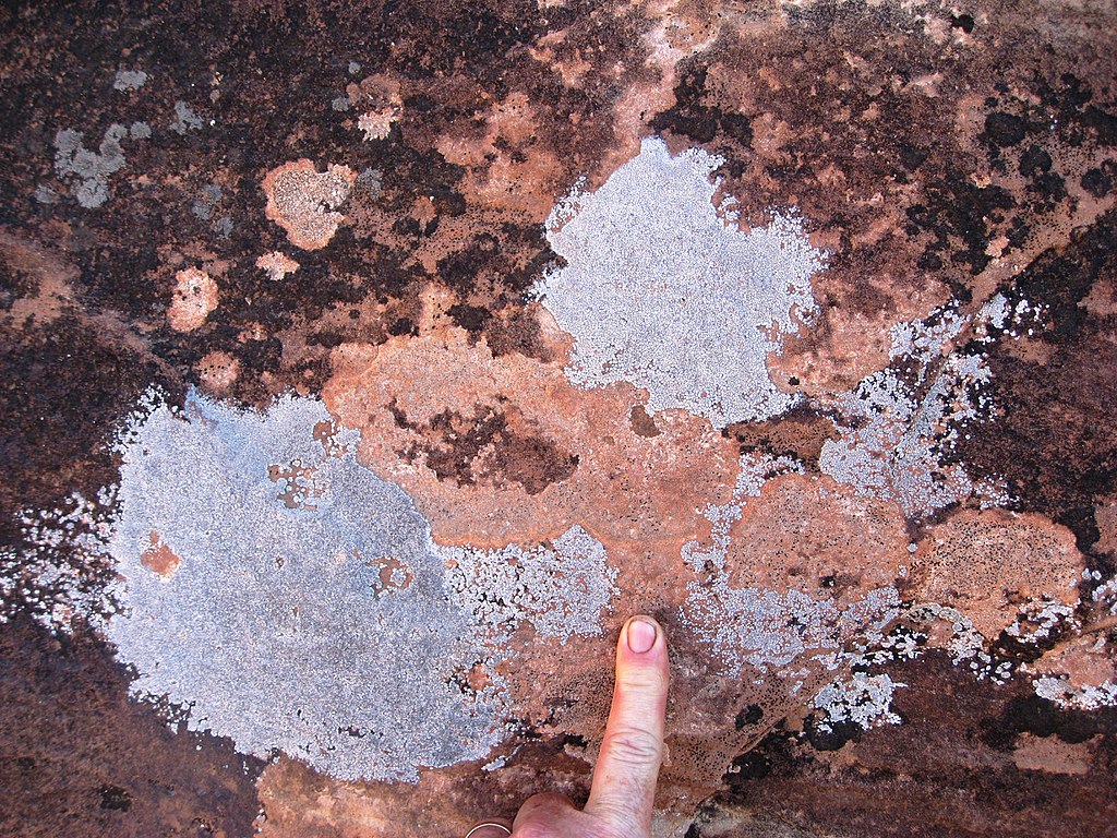
The lichen formations on ridgetop boulders create intricate, map-like shapes that differ noticeably from lower elevations. Orange crustose lichen spots, pale green foliose patches, and speckled gray colonies often cluster in distinct patterns that remain stable for years. These color contrasts help you remember specific rock faces you passed earlier, especially on exposed scrambles. The way these lichen fields orient relative to the sun or the wind becomes a useful mental marker, reminding you whether you’re cresting a rise or circling a familiar boulder field. Their longevity makes them especially trustworthy.
11. Repeating Root Staircases on Steep Climbs
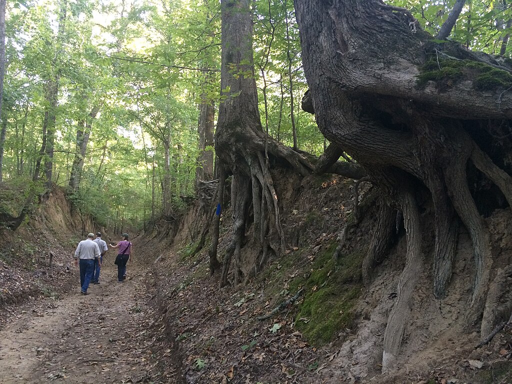
Many steep ridge climbs rely on exposed tree roots forming natural staircases that appear at consistent intervals. These intertwined roots shape steps that feel unforgettable underfoot, giving you a tactile reminder of where you are on the ascent or descent. Their height and spacing tend to repeat on similar slopes, making each root cluster a landmark in its own right. Returning along the same trail, you immediately recognize these earthy stair patterns, helping confirm your direction even when the canopy plays tricks on your sense of distance or familiarity.
12. Sharp Scent Changes Near Laurel Concentrations
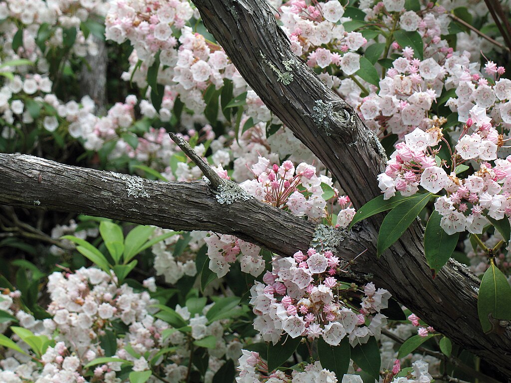
Mountain laurel thickets give off a distinct, sweet-resin scent that intensifies when sunlight warms their leaves. As you pass between open hardwood stretches and dense laurel knots, the shift in smell becomes an unlikely but reliable way to track your progress. These aromatic pockets often occur near ridge nooks or slightly recessed coves that hold heat differently. Over repeated hikes, the moment you catch that familiar scent marks a predictable part of the trail, offering sensory reassurance that you’re approaching a bend, a minor climb, or a sheltered overlook you’ve encountered before.
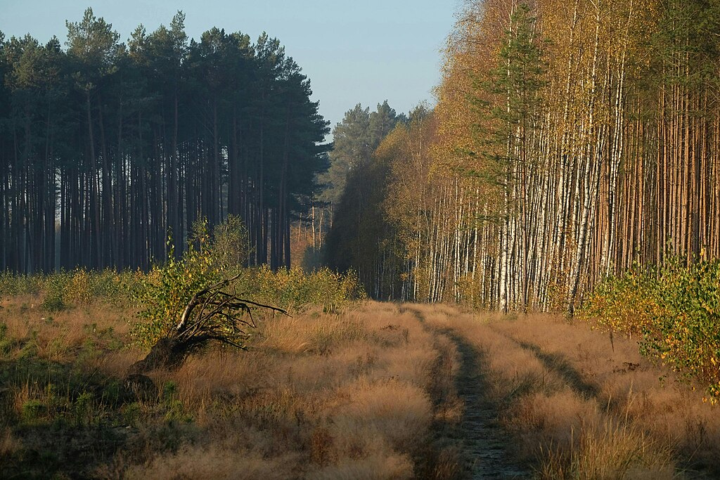
13. Dry Leaf Corridors Shaped by Prevailing Winds
Along certain ridge trails, steady winds sweep fallen leaves into narrow corridors that line the ground like natural pathways. These long, rustling strips often form on exposed shoulders where air funnels predictably between peaks. Their presence signals you’re in a high-wind zone, helping differentiate these areas from quieter, more protected coves. As you move through these leaf corridors, their texture and sound become memorable cues, reminding you of earlier passes. Because they reform season after season, they provide a subtle but recurring micro-landmark that confirms your orientation on long treks.
14. Granite Pebble Clusters on Trail Edges
Granite fragments often collect in small clusters along trail edges where erosion exposes underlying rock layers. These pale, rough-textured pebbles contrast sharply with the darker soil and leaf litter, making them easy to spot. Their arrangement is shaped by natural drainage patterns, so they consistently appear in the same pockets year after year. As you hike, noticing these clusters helps you track subtle elevation shifts or turns that coincide with these eroded outcrops. Over time, their recurring presence becomes a dependable way to recognize familiar stretches along the ridge.
15. Low-Hanging Branch Arches Over Narrow Sections
Some ridge trails pass beneath low-drooping branches that form gentle arches overhead, creating memorable silhouettes against the sky. These arches appear where older trees stretch toward sunlight while growing on thin ridge soil, shaping consistent patterns across certain segments. As you walk under them, the sensation of ducking slightly becomes a tactile reminder of that specific location. Whether encountered on an ascent or descent, these natural gateways help anchor your memory of particular bends, giving you another dependable cue when retracing your steps through dense or repetitive terrain.
16. Sudden Shifts in Trail Soil Color
Soil color in ridge environments can change abruptly due to mineral differences or varying moisture retention. Patches of deep red clay, pale sandy stretches, or dark organic-rich pockets often occur at consistent elevations or geological boundaries. These color changes help you recognize subtle transitions along the trail, especially when vegetation remains uniform. The contrast underfoot cues your senses that you’re entering a familiar zone or nearing a specific landmark. Over repeated hikes, these soil shifts become mental markers you associate with turns, descents, or approaching viewpoints.
17. Small Boulder Triads Formed by Natural Slumping
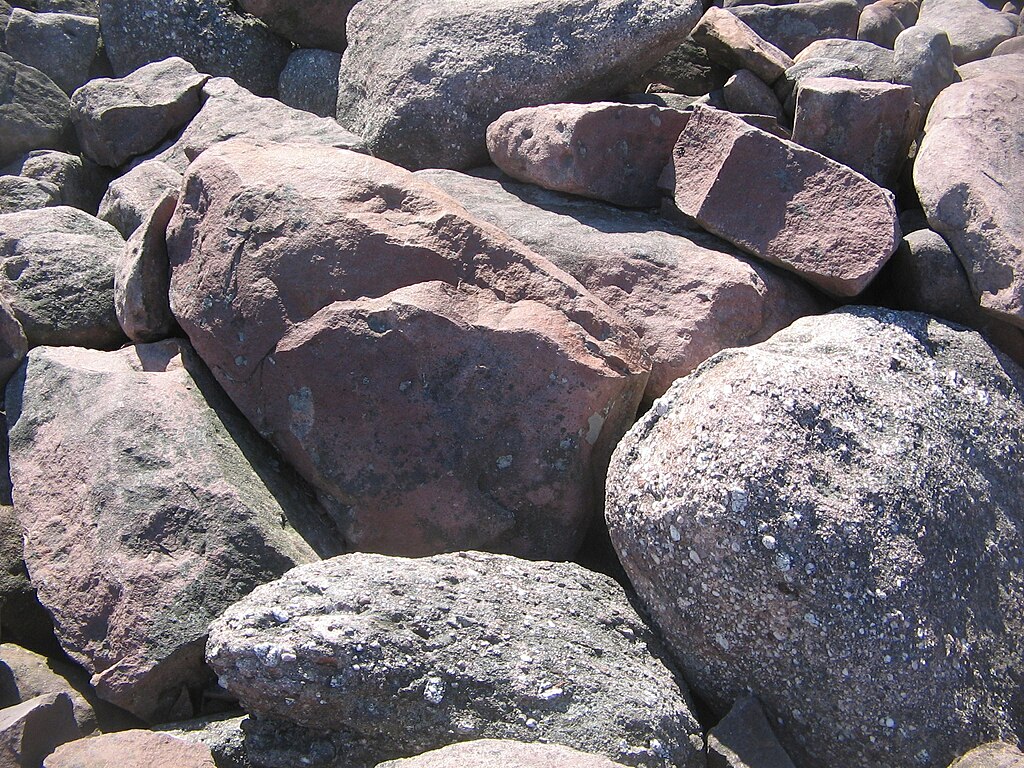
In several ridge systems, groups of three boulders settle together in recognizable formations created by slow hillside slumping. These triads often appear at the base of exposed rock faces or on narrow shoulders, becoming distinct landmarks due to their consistent spacing. Their stability keeps them in place for years, and the familiar pattern of one leading stone followed by two supporting ones helps fix the location in your memory. As you return along the trail, the moment you spot these unique groupings confirms your orientation and alerts you to nearby elevation features.
18. Miniature Clearings Caused by Lightning Strikes
Small, irregular clearings occasionally appear along ridge lines where lightning has struck, leaving behind open patches that contrast sharply with the surrounding forest. Over time, new growth fills in, but the altered vegetation remains noticeably younger and shorter. These pockets often appear on exposed stretches with direct sky access, making them easy to identify on multiple hikes. Their unusual brightness and spacing help you recognize when you’re approaching transitions between wooded segments, offering natural waypoints that stand out even when weather conditions limit visibility.
19. Repeating Drainage Dips Carved by Seasonal Rains
Seasonal rains carve shallow dips across ridge trails, creating low points where water briefly collects before flowing downslope. These dips recur at predictable intervals and often correspond with subtle shifts in vegetation or soil texture. When hiking in dry weather, they appear as gentle depressions, yet they still serve as impactful orientation clues. The rhythm of these drainage features becomes familiar over time, helping you gauge distance between major landmarks or confirm that you’re nearing a known trail junction. Their persistence makes them particularly useful during long treks.
20. Weather-Smoothed Root Balls from Old Uprooted Trees
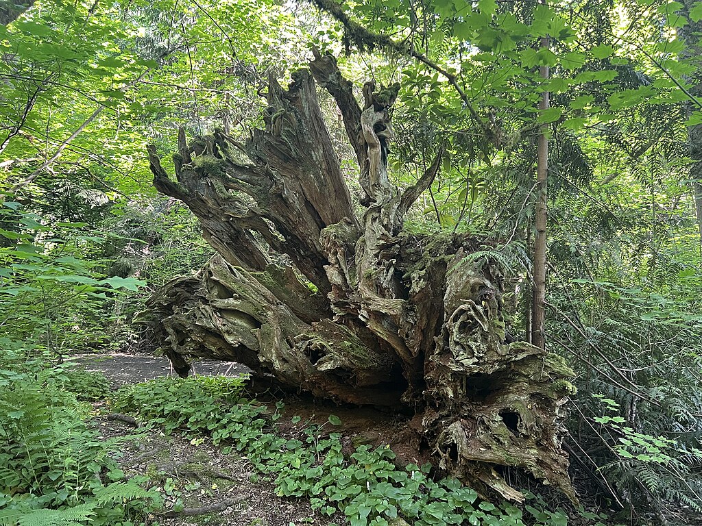
Where storms once uprooted large trees, their remaining root balls gradually weather into rounded, sculptural forms that sit beside the trail like natural monuments. These structures resist erosion more than decayed trunks, allowing them to remain recognizable for years. Their height, curvature, and placement relative to the trail offer memory cues that help you track your position along long ridge traverses. As you revisit these trails, spotting one of these smoothed root clusters confirms your orientation and signals that a familiar rise or descent lies just ahead.


