
Losing sight of the sun can make even familiar terrain feel confusing. Heavy cloud cover removes one of the most reliable natural navigation tools, yet the landscape still provides many dependable clues. Long before compasses and GPS units existed, people learned to read land, plants, animals, and weather patterns to maintain direction. These signs remain visible even when the skies stay gray all day. Learning to notice them sharpens awareness and builds confidence in unfamiliar environments. Each method below focuses on clear visual or environmental indicators that work in forests, mountains, deserts, and open country. Used together, they help you stay oriented without relying on technology or sunlight.
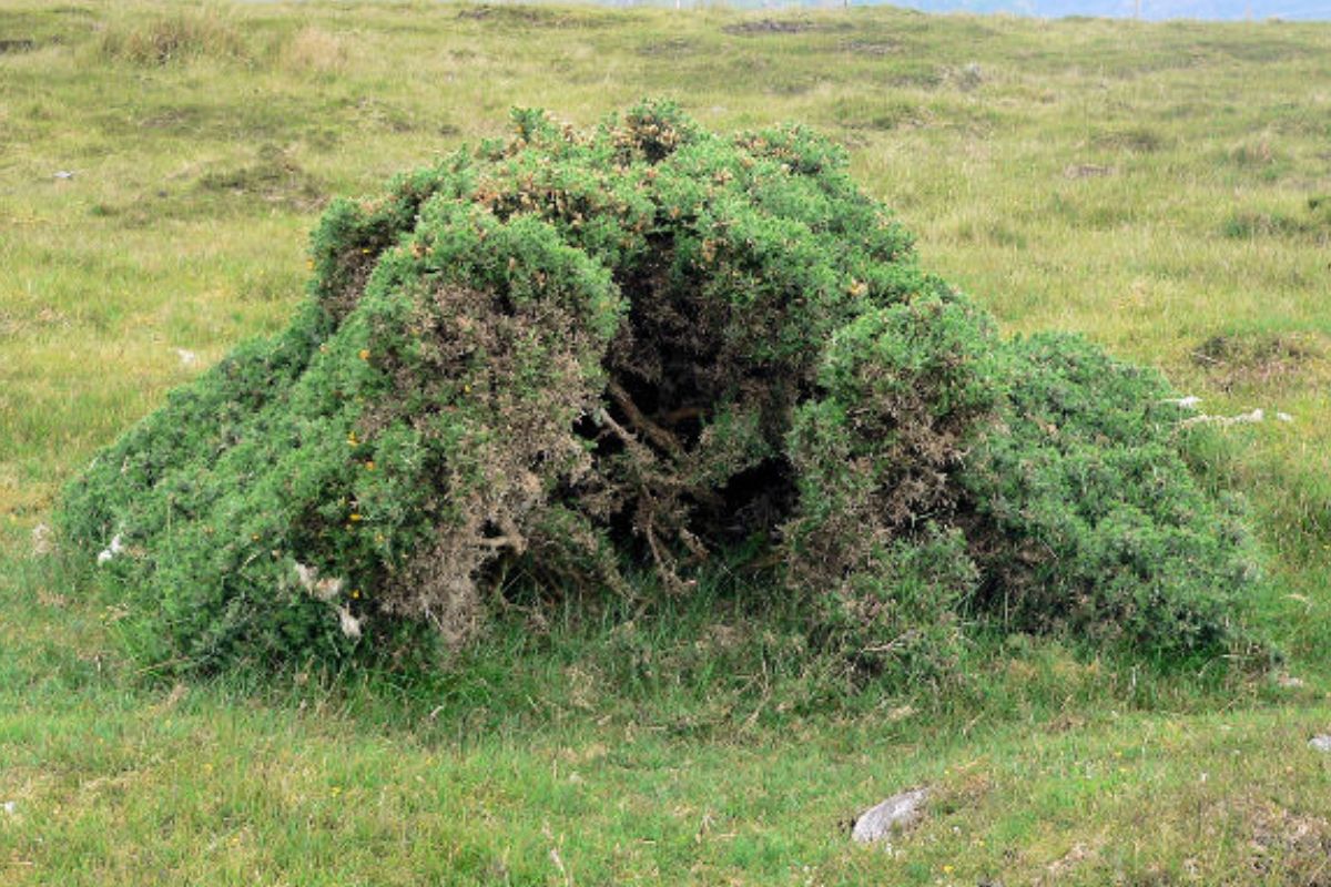
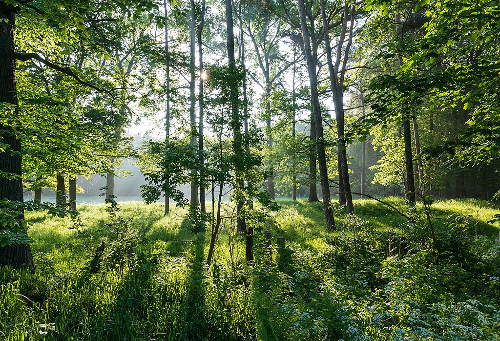
1. Tree Growth Density and Shape
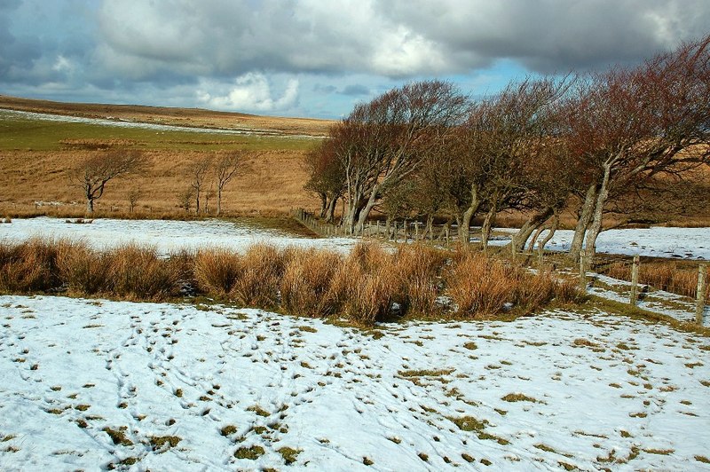
Trees often reveal direction through how they grow and spread. In many regions, branches grow thicker and longer on the side that receives more consistent light and warmth. Even when clouds hide the sun, prevailing weather patterns influence growth over the years. You may notice fuller canopies on one side and thinner branches on the other. Wind exposure also shapes trees, causing slight leans or uneven crowns. Comparing several trees avoids false readings from damage or disease. When multiple trees show similar patterns, they form a reliable directional clue that remains visible year-round.
2. Moss Distribution on Rocks and Trees
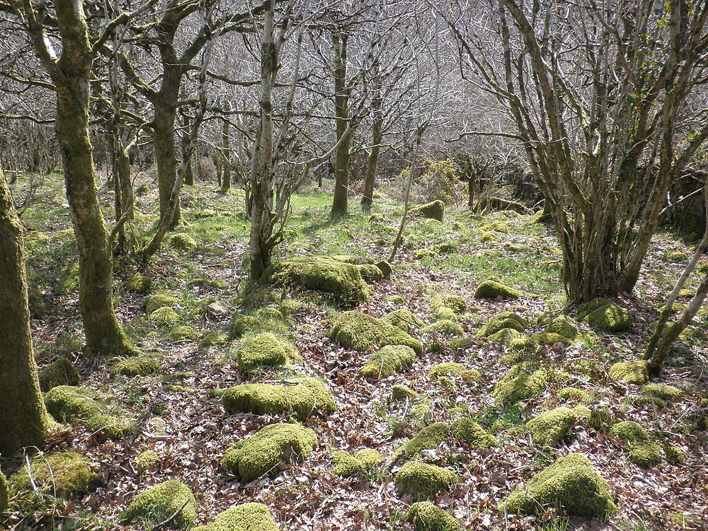
Moss prefers moisture, shade, and stable conditions, which causes it to grow more heavily on certain sides of rocks and tree trunks. While moss does not always point perfectly north, it commonly favors cooler, damper faces that receive less direct drying. In dense forests or shaded valleys, this pattern becomes more consistent. Checking multiple surfaces helps confirm direction rather than relying on a single patch. Moss growth close to the ground is often thicker than in higher areas. This method works best when combined with terrain awareness and other vegetation signs.
3. Slope Moisture and Soil Texture
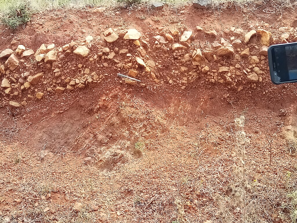
Ground conditions change depending on exposure and drainage. Slopes that retain moisture often support softer soil, darker coloration, and denser plant life. Drier slopes feel firmer underfoot and show lighter soil tones. In many landscapes, moisture patterns follow predictable directional trends shaped by wind and seasonal weather. Touching the soil, noticing plant density, and observing runoff paths all provide clues. When clouds block the sky, the land itself still records years of water movement and exposure. These subtle differences help identify orientation and nearby low ground.
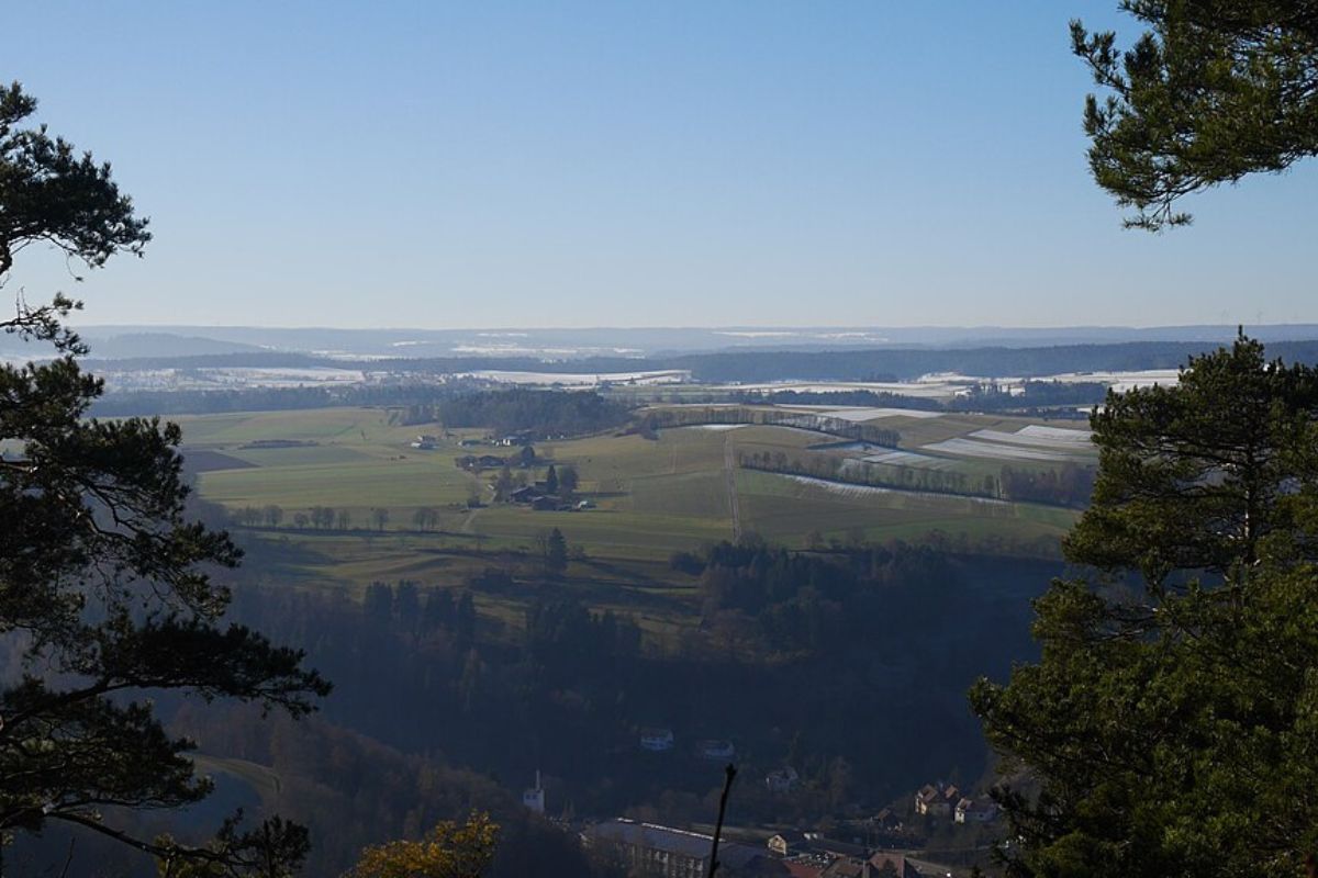
4. River Bends and Water Flow Behavior
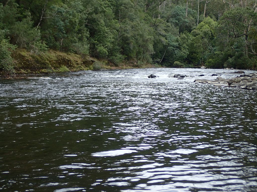
Moving water follows terrain logic regardless of weather. Rivers and streams carve predictable shapes, often eroding outer bends more aggressively while depositing sediment along inner curves. Observing how water flows around obstacles reveals the downstream direction. Foam, debris, and ripples travel consistently even in calm conditions. Valleys usually guide water toward lower elevations and broader drainage systems. Knowing regional geography strengthens this method. When visibility is limited overhead, water movement remains one of the most dependable natural guides across varied landscapes.
5. Wind Patterns and Vegetation Response
Prevailing winds leave lasting marks on the land. Grass leans, shrubs grow unevenly, and exposed ridges show signs of repeated wind stress. Even on still days, long-term wind direction affects plant shape and density. Leaves may cluster on sheltered sides, while exposed faces appear sparse or weathered. In open terrain, dunes and snow drifts also align with dominant winds. Recognizing these patterns helps establish a general orientation. Wind-shaped clues remain readable even when skies are overcast for extended periods.
6. Snow Melt and Frost Persistence
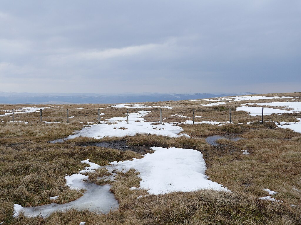
In cold environments, snow and frost patterns reveal directional differences. Some surfaces melt earlier while others retain frost longer due to exposure and shelter. Shaded areas stay colder and damper, while exposed ground clears faster. Observing which sides of rocks, logs, or slopes hold frost provides valuable clues. These patterns repeat consistently across the landscape. Even during cloudy weather, temperature differences remain active. Snow and frost serve as temporary but powerful indicators when visibility is otherwise limited.
7. Rock Weathering and Lichen Growth
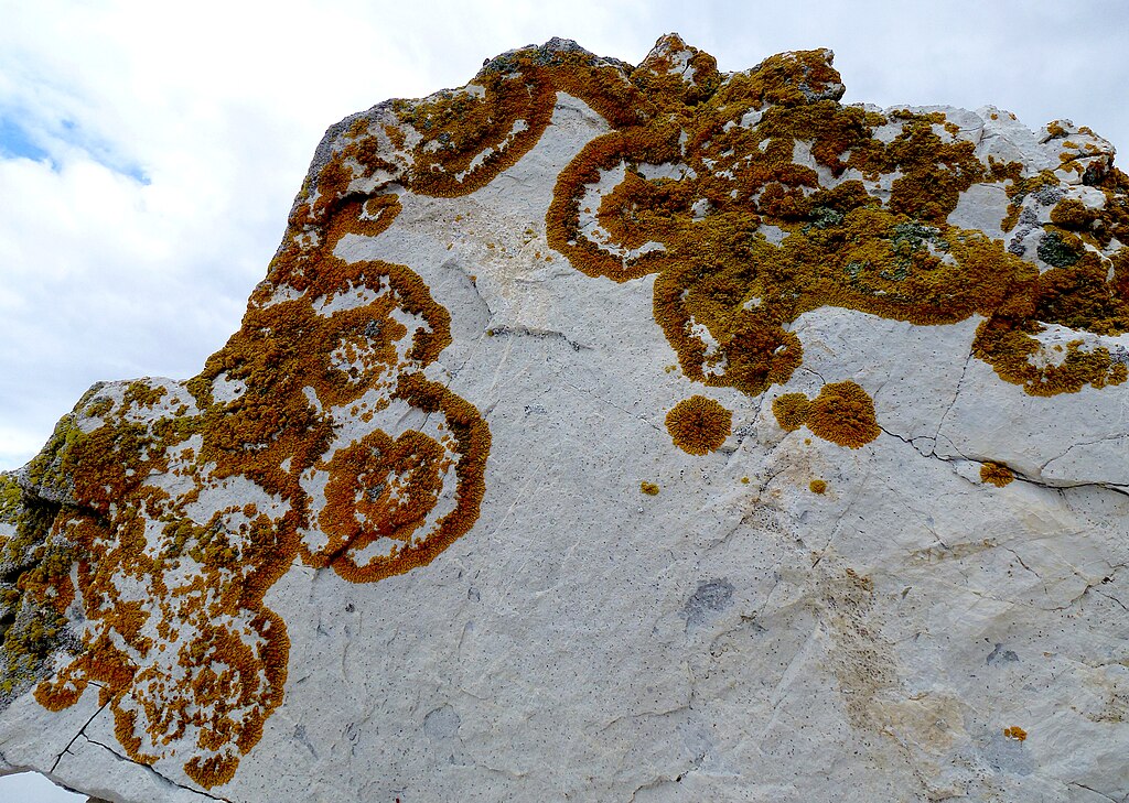
Rock surfaces record long-term exposure through erosion and biological growth. Faces exposed to harsher weather appear smoother or more worn, while protected sides support thicker lichen and mineral staining. Color differences often develop between exposed and sheltered faces. By examining several rocks in one area, consistent patterns emerge. This method works especially well in alpine, desert, and coastal regions. Rock weathering changes slowly, making it a stable reference when other signs are unclear.
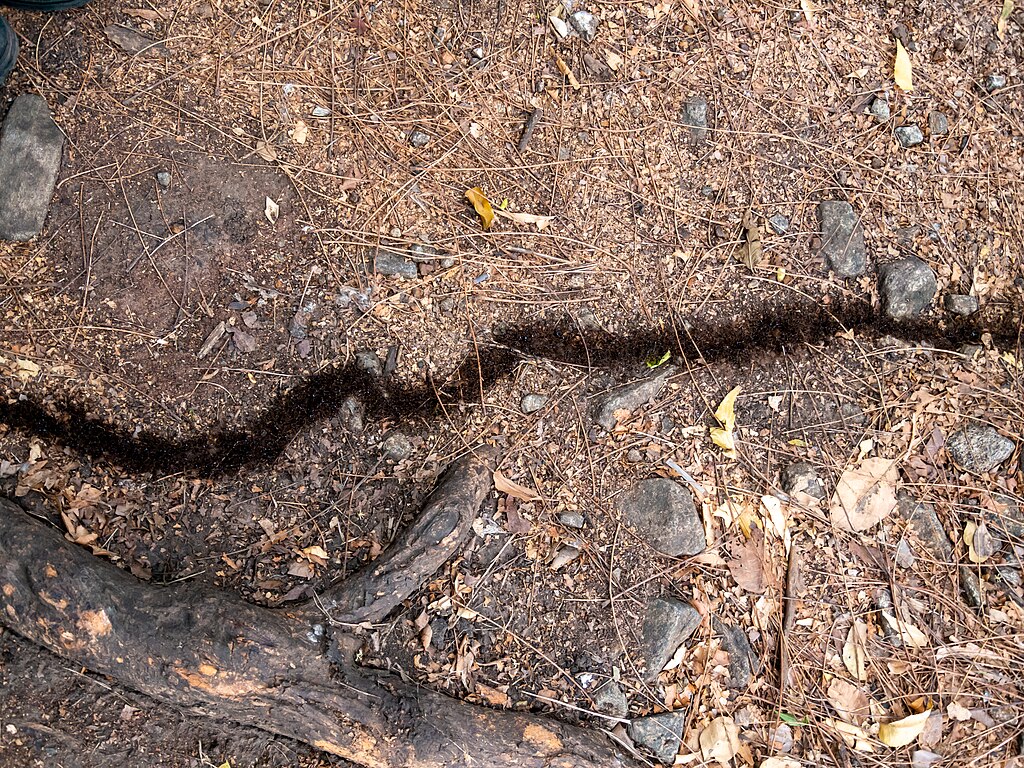
8. Animal Trails and Movement Corridors
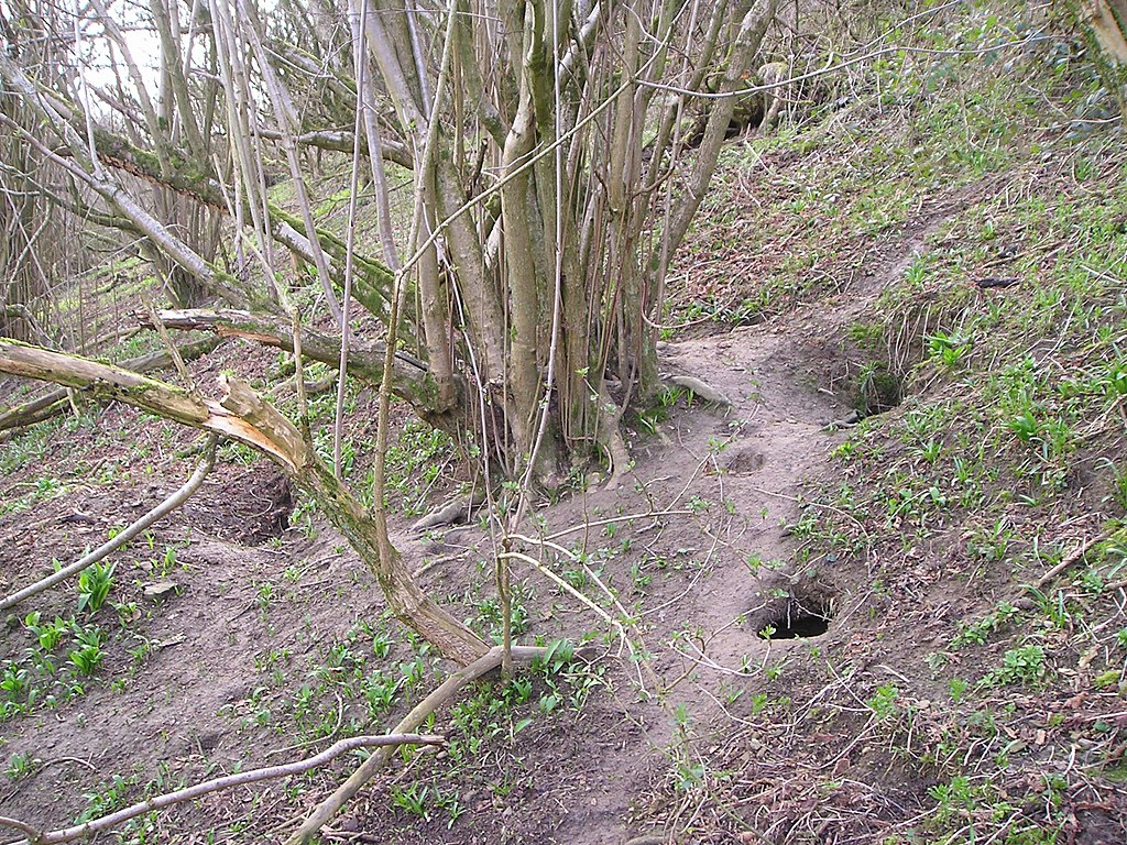
Wildlife moves along efficient routes shaped by terrain and resources. Repeated animal paths often follow ridgelines, contours, or water access points. Hoof prints, worn vegetation, and compacted soil indicate the direction of regular travel. Animals tend to choose paths that minimize energy use, revealing natural movement logic. These routes often align with valleys or lead toward water. Observing trail direction and frequency provides orientation clues. Even in poor weather, animal patterns remain visible and consistent.
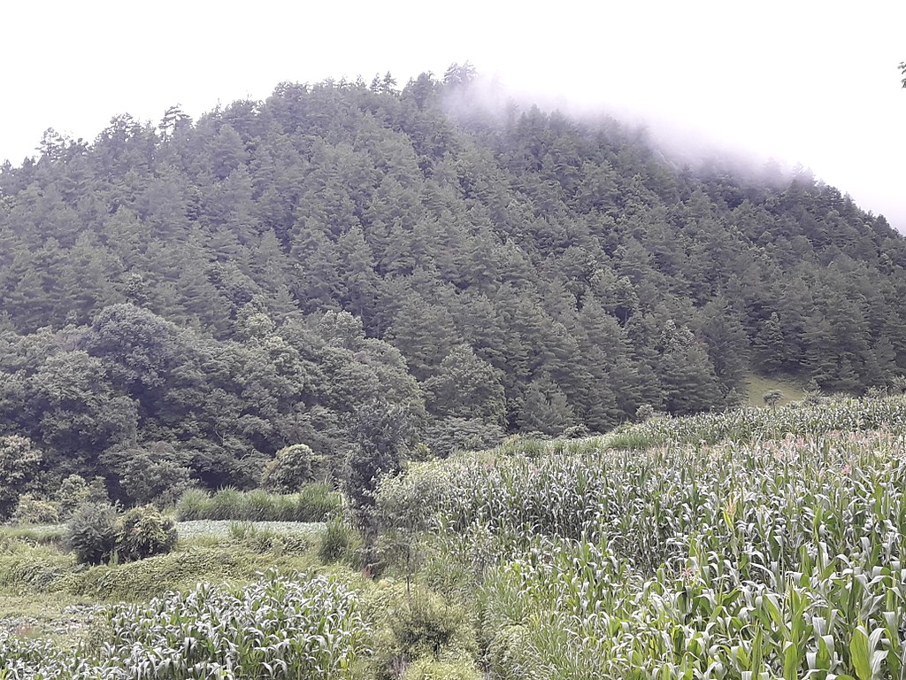
9. Forest Density Changes
Tree spacing and undergrowth thickness vary with soil quality, moisture, and exposure. Denser forest areas often indicate richer soil or better protection from harsh conditions. Thinner growth may signal wind exposure or poor drainage. These transitions usually follow terrain features such as ridges or slopes. Noticing gradual changes in forest density helps map the land mentally. When clouds limit distant visibility, close-range vegetation patterns still guide orientation.
10. Insect Activity and Distribution
Insects concentrate where conditions suit them best. Ant trails, termite mounds, and flying insect swarms often form around warmth, moisture, or shelter. Ground insects favor stable, dry routes, while flying insects gather near water or open spaces. These patterns persist even in cloudy weather. Watching where insects cluster or move helps identify environmental gradients. Over time, these small signs provide surprisingly reliable navigation cues.
11. Sound Travel and Echo Behavior
Sound behaves differently depending on terrain shape and vegetation density. Open areas allow sound to travel farther, while dense forests absorb noise quickly. Valleys echo differently from ridges. Listening to footsteps, wind, or water reveals spatial changes ahead. Even subtle shifts in sound quality can indicate openings or drops. This method requires quiet attention, but it works regardless of the lighting conditions. Sound mapping strengthens overall situational awareness.
12. Cloud Movement Direction
Even when the sun is hidden, clouds themselves provide direction. Lower clouds often move consistently with prevailing winds. Observing their drift over time helps establish orientation. This works best when combined with ground-based wind clues. Watching multiple cloud layers improves accuracy, as higher and lower clouds may move at different speeds. Though subtle, cloud motion offers a sky-based reference when the sun is unavailable.


