
Washington’s volcanoes rise quietly above forests, farmlands, and mountain towns, yet each carries serious hazards that can impact thousands of people within minutes. Lahars, ashfall, and sudden flooding can move faster than expected, which is why communities living near these volcanoes need detailed evacuation plans. Understanding local risks, practicing escape routes, and staying aware of emergency alerts help families prepare for any volcanic activity.
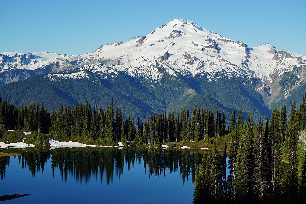
1. Mount Rainier
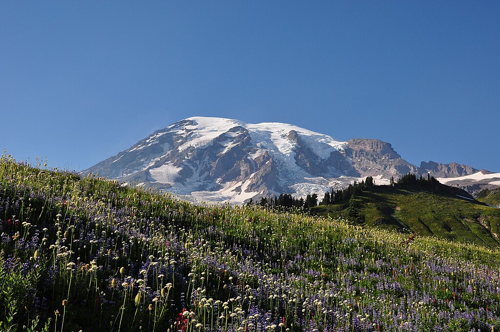
The western flank of Mount Rainier includes towns like Orting and Puyallup, which sit in river valleys that can quickly channel powerful lahars. These mudflows can travel miles in a short time, leaving little room for hesitation. Residents depend on siren systems, practiced evacuation routes, and school safety drills to respond quickly. Families are urged to maintain go bags and communication plans that help them reach high ground without delay.
2. Mount St. Helens
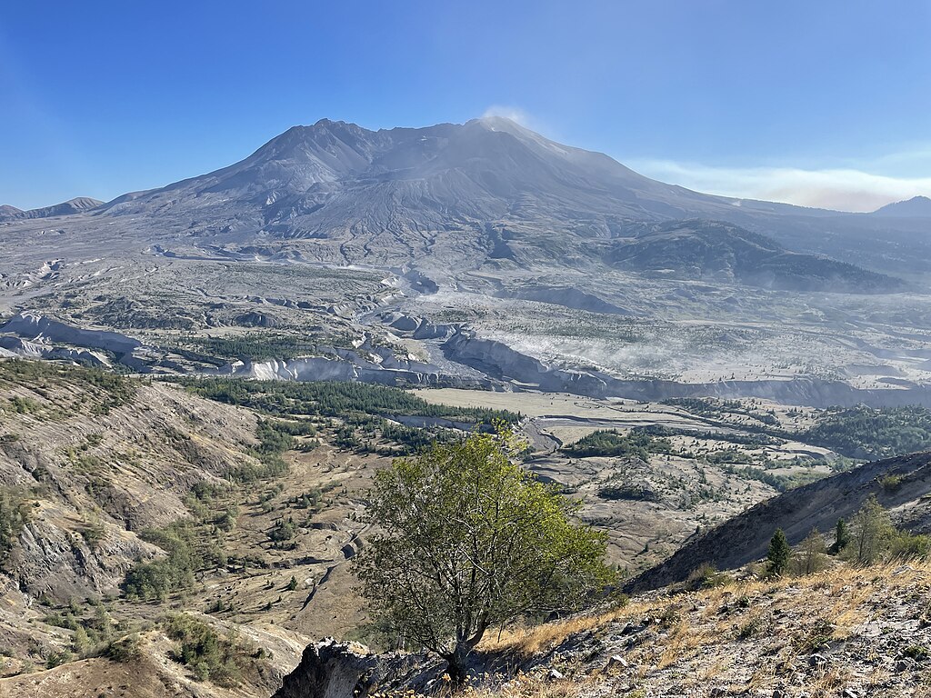
Communities along the North Fork Toutle River remain vulnerable to renewed volcanic activity even decades after the major eruption. Ashfall, flooding, and debris flows can develop rapidly if the landscape shifts. Residents prepare by keeping emergency kits in their vehicles, staying aware of seasonal alerts, and understanding which roads may close first. Knowing multiple routes out of the river valley is crucial when evacuation orders arrive.
3. Mount Adams
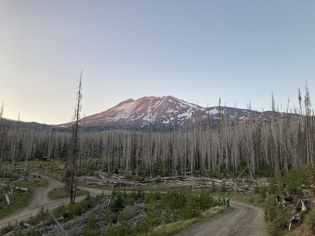
The Trout Lake region near Mount Adams faces risks from potential debris flows fed by steep slopes and glacier melt. Although the volcano appears quiet, its history shows it can shift without warning. People living nearby rely on alert systems, practiced evacuation paths, and well-stocked home supplies. Masks, water, and stored food help families deal with ashfall, while communication plans ensure everyone knows where to regroup.
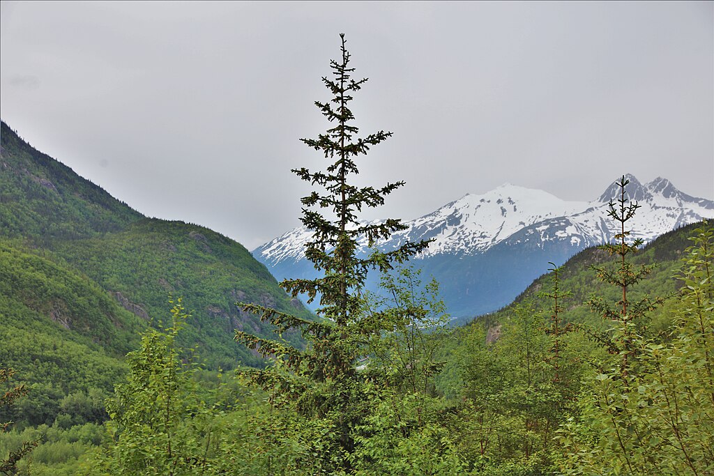
4. Mount Baker
Residents along the Nooksack River corridor must prepare for lahars and sudden floods if Mount Baker becomes active. The steep terrain and narrow valleys can channel volcanic debris quickly. Preparedness includes knowing the fastest routes to high ground, keeping vehicles fueled, and understanding that some roads may become impassable. Authorities encourage residents to stay connected to alert networks and practice leaving the area within minutes of a warning.
5. Glacier Peak
Glacier Peak is one of Washington’s most dangerous volcanoes due to its remote location and explosive history. People in Darrington and nearby valleys need plans that account for long travel distances and limited escape routes. Emergency guides recommend go bags with radios, chargers, and food that lasts several days. Because ashfall can travel far, communities monitor updates closely and prepare for extended periods of limited outdoor movement.
6. White Pass
The White Pass Tieton region sits along a rugged stretch of the Central Cascades where historic lava flows, ash layers, and steep valleys all point to the area’s volcanic past. While it feels peaceful on the surface, the zone is affected by activity from both Mount Rainier and Mount Adams, making emergency readiness essential. Seasonal visitors, mountain communities, and backcountry travelers all need evacuation plans that account for fast-changing weather, narrow access roads, and the potential for rapid ashfall and landslide movement.
7. Goat Rocks Volcanic Field Evacuation Zone
The Goat Rocks Volcanic Field, located between Mount Rainier and Mount Adams, may look quiet today, but geologists classify it as a dormant system with the potential for renewed activity. Its rugged ridgelines and deep valleys could funnel ash, rockfall, and sudden debris flows toward nearby forest roads and lower campgrounds. Emergency planners stress the importance of early alerts here because rapid weather shifts can hide ash plumes, hinder visibility, and slow down evacuation efforts.
8. Spokane Metro
Spokane is far from Washington’s volcanoes, but its location places it directly in a high-risk ashfall zone. If Glacier Peak or Mount St. Helens erupts, ash can drift for hundreds of miles, affecting air quality, transportation, and power. Residents prepare by storing extra food, water, masks, and backup filters for vehicles. Emergency plans often focus on staying indoors for extended periods and maintaining supplies for several days at a time.
9. Yakima Valley
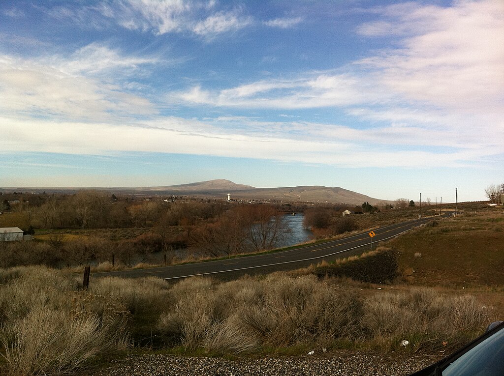
The Yakima Valley faces a blend of hazards from both Mount Adams and Mount Rainier. Ashfall, water contamination, and potential debris flows can affect farms, homes, and major roadways. Families plan by keeping emergency radios, arranging meeting points, and preparing livestock plans. Because winds can shift ash plumes unexpectedly, staying aware through official alerts is essential. Communities hold regular emergency drills to strengthen preparedness.
10. Cowlitz and Lewis Counties
These counties sit in several drainage basins that can carry volcanic debris from Mount St. Helens and Mount Adams. Rural towns may become isolated quickly during eruptions because of road closures or flooding. Residents practice evacuation routes and check in with neighbors who need assistance. Storing fuel, food, and medical supplies helps families stay prepared. Community emergency drills play a major role in building confidence during fast-changing events.


