
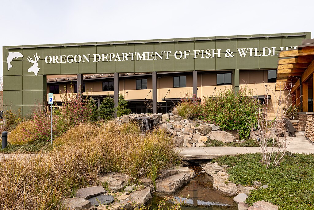
Oregon’s mule deer management is undergoing one of its biggest transformations in decades. The Oregon Department of Fish and Wildlife (ODFW) has announced plans to overhaul its traditional Wildlife Management Units (WMUs) and replace them with herd-based hunting boundaries starting in 2026. This shift comes after years of research using GPS collar data, migration tracking, and herd health studies. For hunters, these changes will affect everything from where they apply for tags to how they scout, hunt, and plan for the season ahead.
A Shift from WMUs to Herd-Based Boundaries
The existing WMU system, created more than half a century ago, no longer reflects where mule deer actually roam. ODFW is introducing herd-based boundaries that align with real migration routes and seasonal ranges. The goal is to manage populations by biology rather than old map lines. Hunters will find familiar areas renamed or restructured, requiring them to study new maps closely before applying for tags or setting up camp.
Data from Modern GPS Tracking Technology
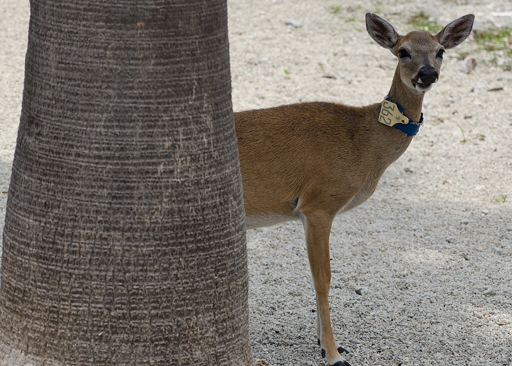
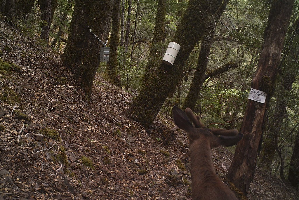
For years, biologists have fitted Oregon’s mule deer with GPS collars to monitor their movement. The new boundary maps rely on thousands of data points showing where herds migrate, breed, and winter. This science-driven approach ensures hunting areas reflect ecological realities, not outdated geography. It’s a modern tool designed to improve herd health and balance harvests more effectively across regions where deer actually live and travel.
Larger Zones, Fewer Total Hunt Areas
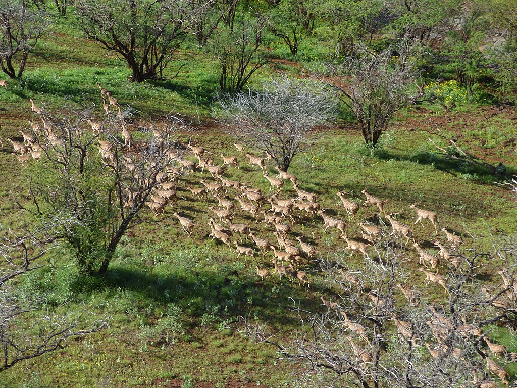
Under the new plan, Oregon will reduce the total number of mule deer hunt areas while expanding the size of each. These larger zones better capture full herd ranges, but may also mean more hunters sharing the same terrain. The upside is increased flexibility for hunters to move within an area, though it may take more effort to scout effectively. Traditional landmarks will still exist, but unit names and numbers will change.
Tag Allocations Will Adjust with Populations
With new boundaries come new tag numbers. ODFW intends to base tag allocations on updated herd-specific data rather than older statewide averages. Some regions with declining herds could see fewer tags, while others with healthy populations may gain. This system promotes long-term sustainability but may temporarily frustrate hunters used to specific quotas. Reviewing the 2026 tag tables will be essential before applying.
Preference Points and Draw Odds May Shift
Even though preference points will carry over, their value could change depending on how demand balances out in the new herd-based zones. Some hunters might discover that once “easy” tags now require more points due to high interest. Conversely, overlooked regions could become more accessible. The best strategy is to track ODFW’s updated statistics once the new draw results are published to adjust your future plans wisely.
Private Land and Landowner Tags Impacted
Boundary changes will also affect how private lands fit into the new zones. Landowners who previously received tags under certain WMUs may find their property reclassified. That means hunters relying on private access or landowner tags must confirm how the 2026 boundaries affect them. Coordination between landowners, outfitters, and hunters will be crucial to avoid confusion when the system goes live.
Scouting and Familiar Terrain Reimagined
Hunters who have memorized Oregon’s current units will need to rediscover their favorite grounds. Some areas will merge, others will split, changing how familiar terrain fits into new zones. Successful hunting will require adaptability and fresh scouting efforts. Pre-season exploration using ODFW’s online mapping tools, GPS apps, and topographic data will become vital to understanding the new landscape.
Conservation Benefits from Better Management
While the transition may feel complicated, the ultimate goal is stronger conservation. Aligning hunt boundaries with natural herd behavior will allow ODFW to manage populations more precisely, track harvest rates accurately, and identify struggling areas faster. This system helps protect mule deer habitat while maintaining sustainable hunting opportunities, ensuring Oregon’s mule deer legacy continues for future generations of hunters.
Community Feedback and Public Involvement
ODFW has held multiple public meetings and online sessions to gather input from hunters and conservationists. These discussions influence final adjustments before the 2026 launch. Hunters who participate in these forums gain early insight into how the new maps function. Staying engaged with ODFW updates ensures no surprises once the new regulations become official.
Preparing Now for the 2026 Season
For hunters, preparation starts now. Reviewing ODFW’s interactive boundary maps, attending public information sessions, and monitoring future tag proposals will help ease the transition. Scouting new zones and talking to biologists about herd trends will pay off when the season opens. By adapting early, hunters can maintain success even as Oregon’s mule deer management enters this exciting, data-driven new era.


