
Some hiking trails in the United States offer the rare experience of passing through multiple climate zones within a single day. These routes reveal how elevation, terrain, and regional geography shape rapid shifts in temperature and scenery. Warm desert floors, cool forests, and icy alpine ridges can appear in one continuous journey. The contrast adds excitement and variety, turning each trail into a memorable exploration of the country’s diverse natural environments.
Mount Whitney Trail, California
The Mount Whitney Trail begins in high-desert conditions before climbing through cooler pine forests and eventually entering a stark alpine zone. Higher elevations bring thinner air and frigid winds that contrast with the valley’s mild start. This dramatic shift highlights how quickly climates change in the Sierra Nevada. Vegetation thins out near the top, revealing rugged rock formations shaped by extreme conditions.
Haleakalā Crater Trail, Hawaii
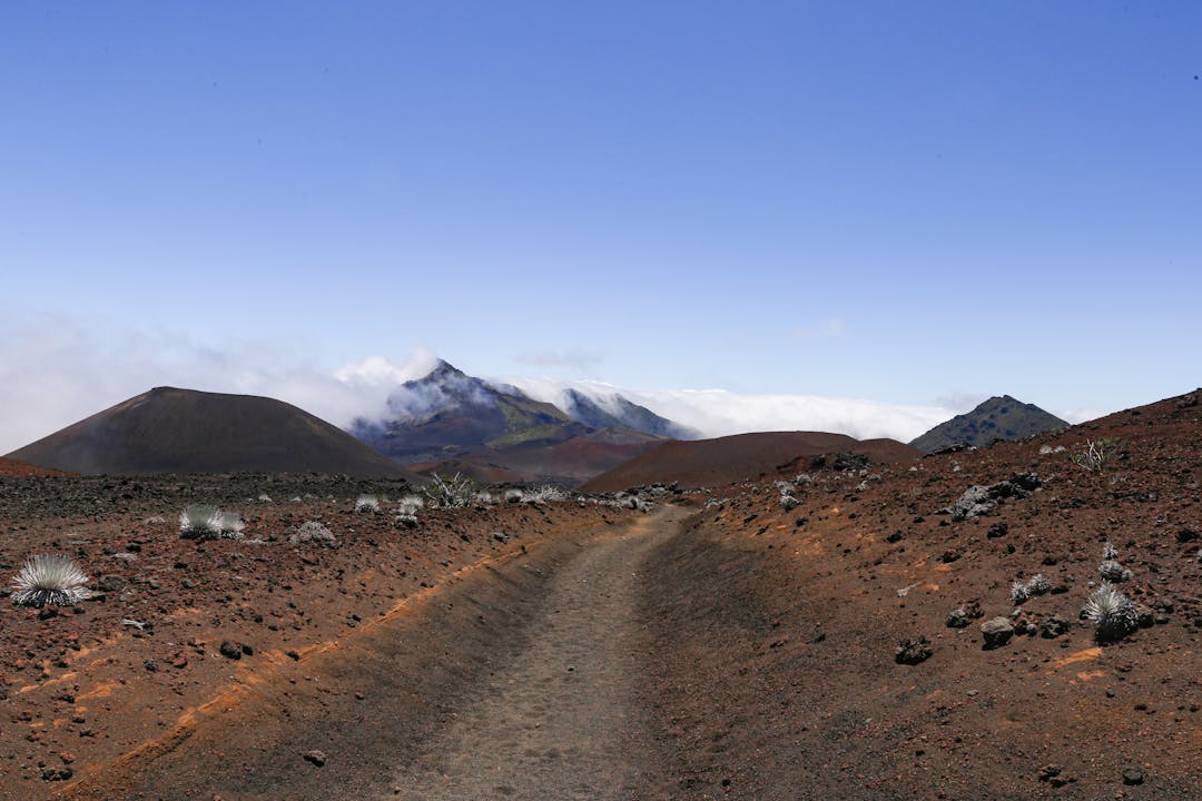
Haleakalā’s crater showcases striking climate transitions, beginning with warm tropical weather at lower elevations and shifting to chilly, high-altitude air as the trail rises. The summit area often feels cold and windswept, with a landscape resembling a volcanic desert. Deeper sections of the crater introduce shadows and cooler pockets of air. Each stage reveals another layer of Maui’s volcanic interior.
Longs Peak Trail, Colorado
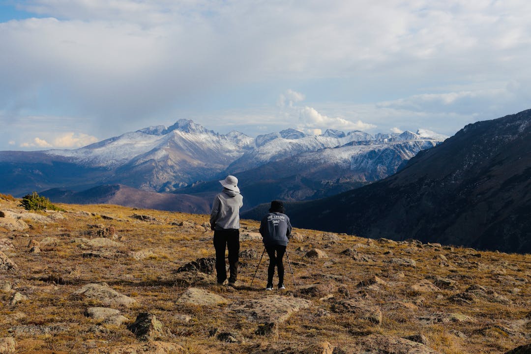
Longs Peak offers a climb from sheltered subalpine forest into exposed tundra with far colder temperatures. The tree line marks a clear boundary where familiar greenery gives way to rocky, windswept slopes. Weather can shift quickly at higher elevations, adding to the intensity of the alpine environment. The rapid transition captures the dramatic nature of Colorado’s high country.
Grand Canyon Rim-to-Rim, Arizona

A Rim-to-Rim journey showcases one of the most extreme temperature variations in the country. The cool, forested North Rim contrasts with the canyon floor, where intense heat often dominates. The steep ascent toward the opposite rim gradually restores cooler air and changing vegetation. This route highlights how elevation and canyon depth influence climate throughout the day.
Mount Rainier Skyline Trail, Washington
The Skyline Trail crosses flower-filled meadows, subalpine terrain, and icy viewpoints shaped by Mount Rainier’s massive glaciers. Warm air near the visitor center shifts to brisk winds and cooler temperatures as the trail ascends. Meltwater streams, lingering snowfields, and cloud movement contribute to constant environmental change. Each section reflects the mountain’s large vertical range.
Guadalupe Peak Trail, Texas
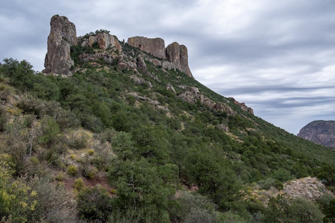
Guadalupe Peak transitions from dry, warm desert foothills into cooler, windier upper ridges. Changes in soil, vegetation, and temperature become noticeable within the first miles. Higher sections feel dramatically different, with exposed limestone cliffs and sweeping views that contrast with the cactus-filled terrain below. The trail captures the unique climate diversity of West Texas.
Humphreys Peak Trail, Arizona
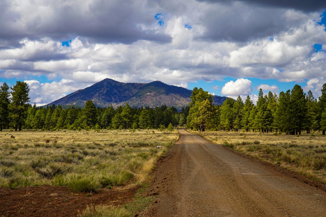
Humphreys Peak begins in a mild aspen forest and rises into an alpine tundra zone where temperatures drop sharply. Wind becomes a constant presence near the summit, and snow often lingers well into warmer seasons. The change in elevation creates distinct climate layers that feel separate yet connected. The transition reflects the varied landscape surrounding Arizona’s highest point.
Mount Hood Timberline Trail, Oregon
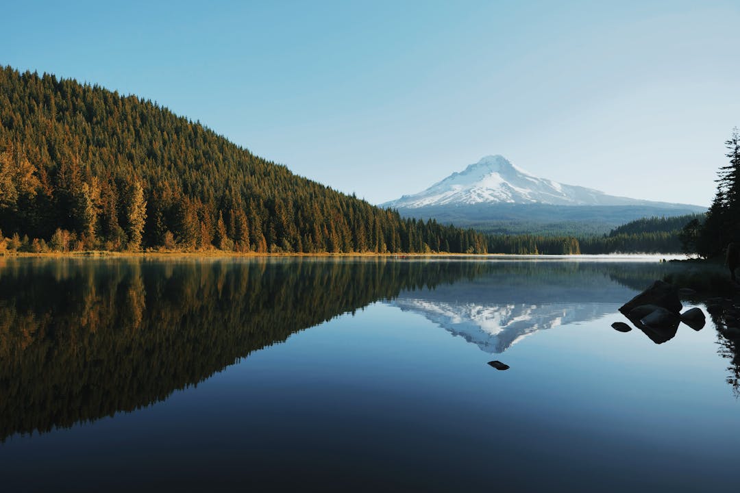
The Timberline Trail encircles Mount Hood and showcases climate variation influenced by elevation and sun exposure. Southern slopes often feel warmer and drier, while northern sections remain cooler with lingering snow. Glacial winds and shifting clouds add additional texture to the journey. These diverse conditions highlight the mountain’s complex and dynamic environment.


