
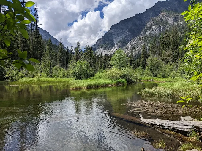
Navigation errors in Idaho’s wilderness can escalate rapidly because of rugged terrain, limited cell service, and unpredictable weather. Vast public lands offer solitude but demand preparation, map skills, and situational awareness. Trails fade, weather shifts suddenly, and landmarks can mislead even experienced hikers. Rivers, canyons, and dense forests complicate route finding. Small mistakes quickly compound, turning short trips into emergencies. Understanding which areas pose higher risks helps explain why Idaho search and rescue teams respond frequently. These wilderness areas illustrate how quickly navigation mistakes grow serious, emphasizing the importance of planning, caution, and respect for remote landscapes.
Frank Church River of No Return Wilderness
The Frank Church River of No Return Wilderness creates severe navigation risk because of its scale, isolation, and lack of maintained infrastructure. Spanning more than two million acres, it contains minimal signage and complex river corridors. Deep canyons and dense forests limit visibility and distort orientation. Elevation changes disorient hikers unfamiliar with contour reading. Weather shifts suddenly, affecting river crossings and flight conditions. Communication options are nearly nonexistent. A single wrong route choice can add days of travel, making mistakes escalate quickly due to distance and limited rescue accessibility.
Selway Bitterroot Wilderness
The Selway Bitterroot Wilderness escalates navigation errors through steep terrain, dense vegetation, and confusing drainage systems. Trails often disappear beneath fallen trees, snow, or heavy undergrowth. Numerous valleys appear similar, increasing the likelihood of misidentification. Weather conditions shift rapidly at elevation, affecting visibility and footing. River crossings grow hazardous after storms. Cell service remains absent across nearly the entire region. Trailheads sit far apart, complicating recovery. A small mistake can funnel travelers deeper into remote basins, where steep walls and limited exits intensify risk quickly.
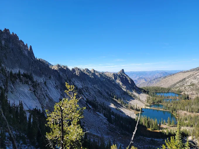
Sawtooth Wilderness
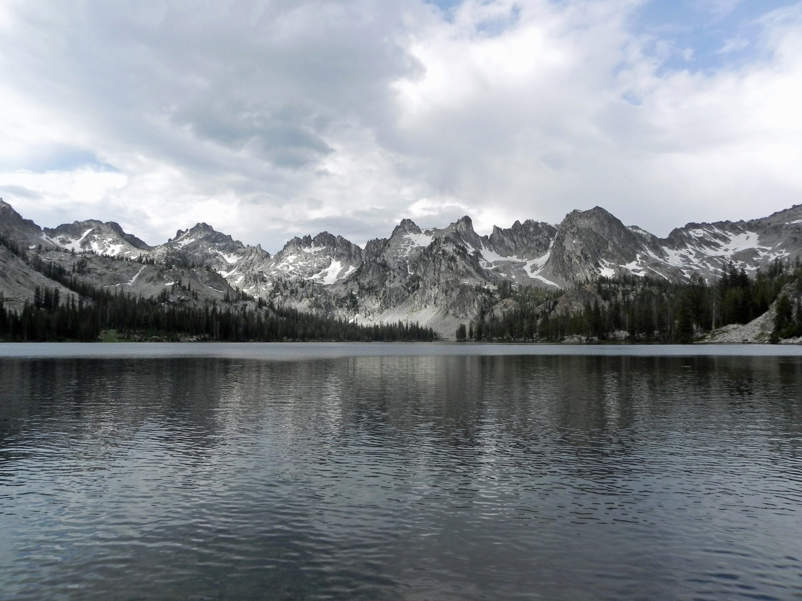
The Sawtooth Wilderness presents navigation challenges amplified by dramatic alpine terrain and frequent trail intersections. Sharp peaks, glacial lakes, and granite basins create visual confusion. Signage remains sparse, requiring careful map interpretation. Sudden storms bring fog, snow, or lightning, reducing orientation cues. Elevation gain and exhaustion affect judgment. Talus fields and slabs obscure paths entirely. Navigation errors can push hikers into technical terrain beyond intended routes. Rescue access is limited. In this environment, minor mistakes escalate rapidly into serious situations requiring advanced skills.
Gospel Hump Wilderness
The Gospel Hump Wilderness increases navigation risk through its deceptive ridgelines and deeply carved drainages. Trails frequently follow high plateaus before dropping sharply into valleys. Accidental elevation loss makes retreat difficult and exhausting. Forest cover restricts long-range visibility, hiding landmarks. Accurate map reading is essential to track subtle elevation changes. Weather shifts obscure reference points. Streams and game trails mislead travelers. Communication is limited. A single wrong descent can require hours of climbing back out, causing navigation mistakes to escalate quickly.
Hells Canyon Wilderness
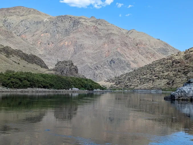
The Hells Canyon Wilderness magnifies navigation mistakes because of extreme vertical relief and limited escape options. Trails descend rapidly into North America’s deepest river canyon. Signage is minimal along exposed slopes. Temperature differences between the rim and the river create physical strain. River crossings pose serious hazards. Narrow sightlines complicate orientation. Climbing back uphill requires significant energy. Cell service is absent. A wrong descent can trap travelers far below trail systems, where correcting errors demands strenuous climbs and careful planning under harsh conditions.
White Clouds Wilderness
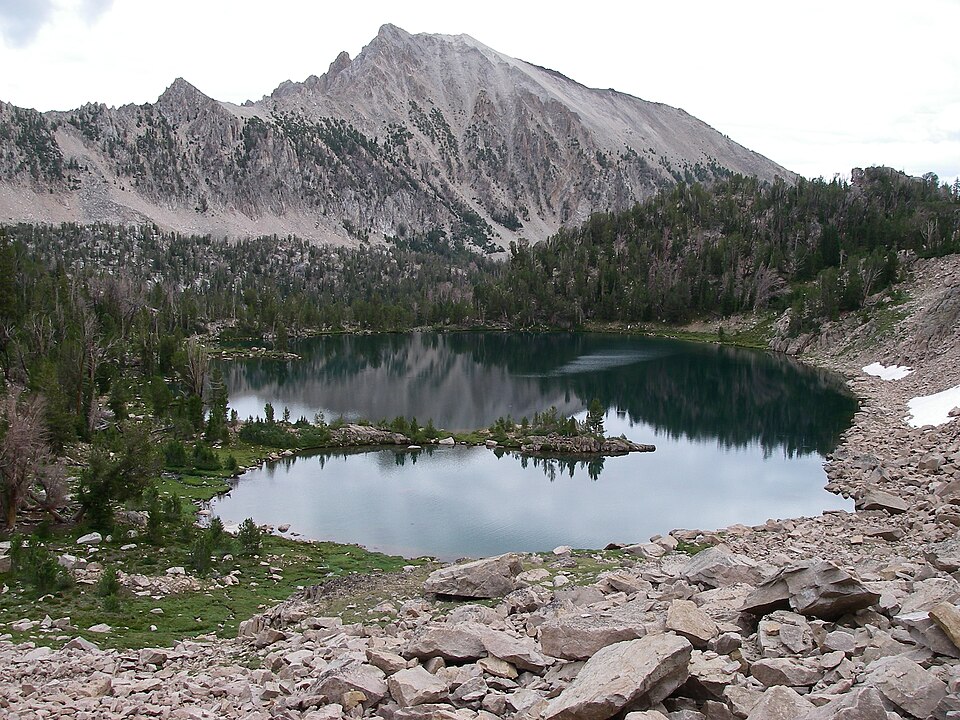
The White Clouds Wilderness disguises navigation difficulty behind open alpine basins and gently appearing terrain. Trails fade across meadows, snowfields, and rock expanses. Storms arrive quickly, reducing visibility. GPS signals fluctuate in rugged topography. Basins and ridges appear similar from multiple angles, increasing directional errors. Late-season snow conceals paths. Drainages funnel travelers away from access points. Small mistakes compound over distance. Because landmarks feel farther than they appear, navigation errors escalate quickly and limit safe exit options, especially for hikers underestimating terrain scale, weather shifts, and fatigue.
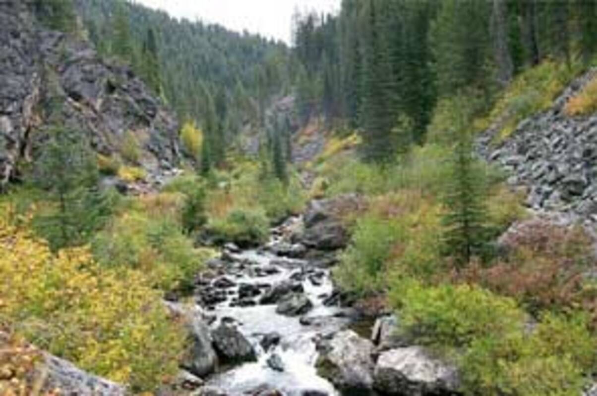
Cabinet Mountains Wilderness
The Cabinet Mountains Wilderness accelerates navigation errors through dense forest cover and rugged slopes. Thick vegetation blocks sightlines, making compass skills critical. Trails are fewer and inconsistently maintained. Heavy rain or snow obscures tracks. Steep terrain funnels hikers into drainages, increasing disorientation. Wildlife paths and streams confuse route choices. Rescue access remains difficult due to remoteness. Backtracking requires significant physical effort. Losing orientation here quickly leads to prolonged exposure, as limited visibility and demanding terrain make recovery slow and physically taxing.


