
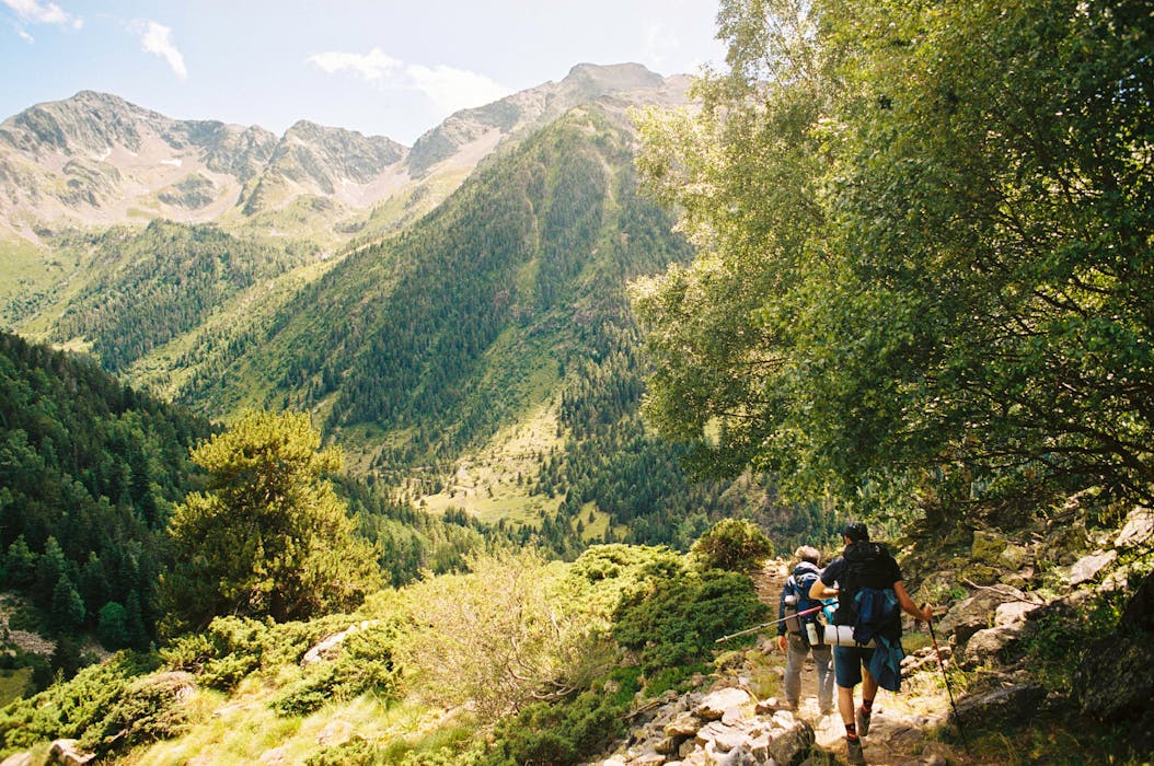
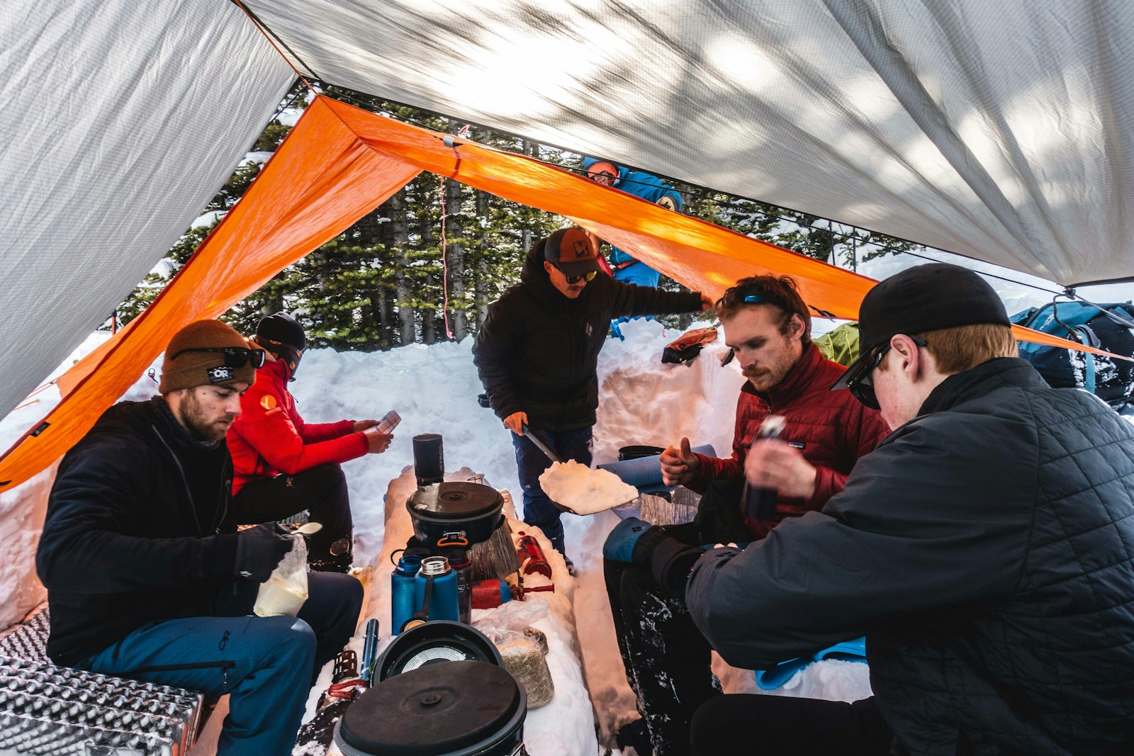
Losing a visible trail does not automatically mean losing direction, but it does require calm thinking and reliable techniques. Weather, vegetation, snow, or erosion can erase paths quickly, leaving hikers uncertain about their surroundings. Staying oriented depends less on technology alone and more on layered awareness, observation, and preparation. Understanding terrain, movement, and natural indicators helps prevent small navigation errors from becoming serious problems. The following methods focus on practical, field tested ways to maintain direction and confidence when markings fade. These approaches support safer decision making and reduce panic when landscapes no longer offer obvious guidance.
Use A Topographic Map Consistently
A topographic map provides constant context even when trails vanish. Contour lines reveal elevation changes, ridges, valleys, and drainage patterns that remain visible regardless of conditions. Regularly checking position against terrain features prevents drifting off course. Maps also help anticipate upcoming changes in slope or direction, allowing adjustments before confusion sets in. Relying on memory alone increases error over time. Keeping the map accessible and oriented to surroundings strengthens spatial awareness. Familiarity with map symbols and scale ensures the landscape continues to make sense even without marked paths.
Understand Cardinal Directions Early
Knowing cardinal directions before trails disappear builds a mental framework for navigation. Establishing north, south, east, and west using a compass, map, or sun position creates reference points that remain stable. Checking direction frequently prevents gradual veering off course. Without this awareness, small deviations accumulate unnoticed. Cardinal orientation also helps interpret maps accurately and align terrain features correctly. Establishing direction early reduces reliance on guesswork later. This habit becomes especially valuable in dense forests, open tundra, or snow covered terrain where visual cues offer limited guidance.
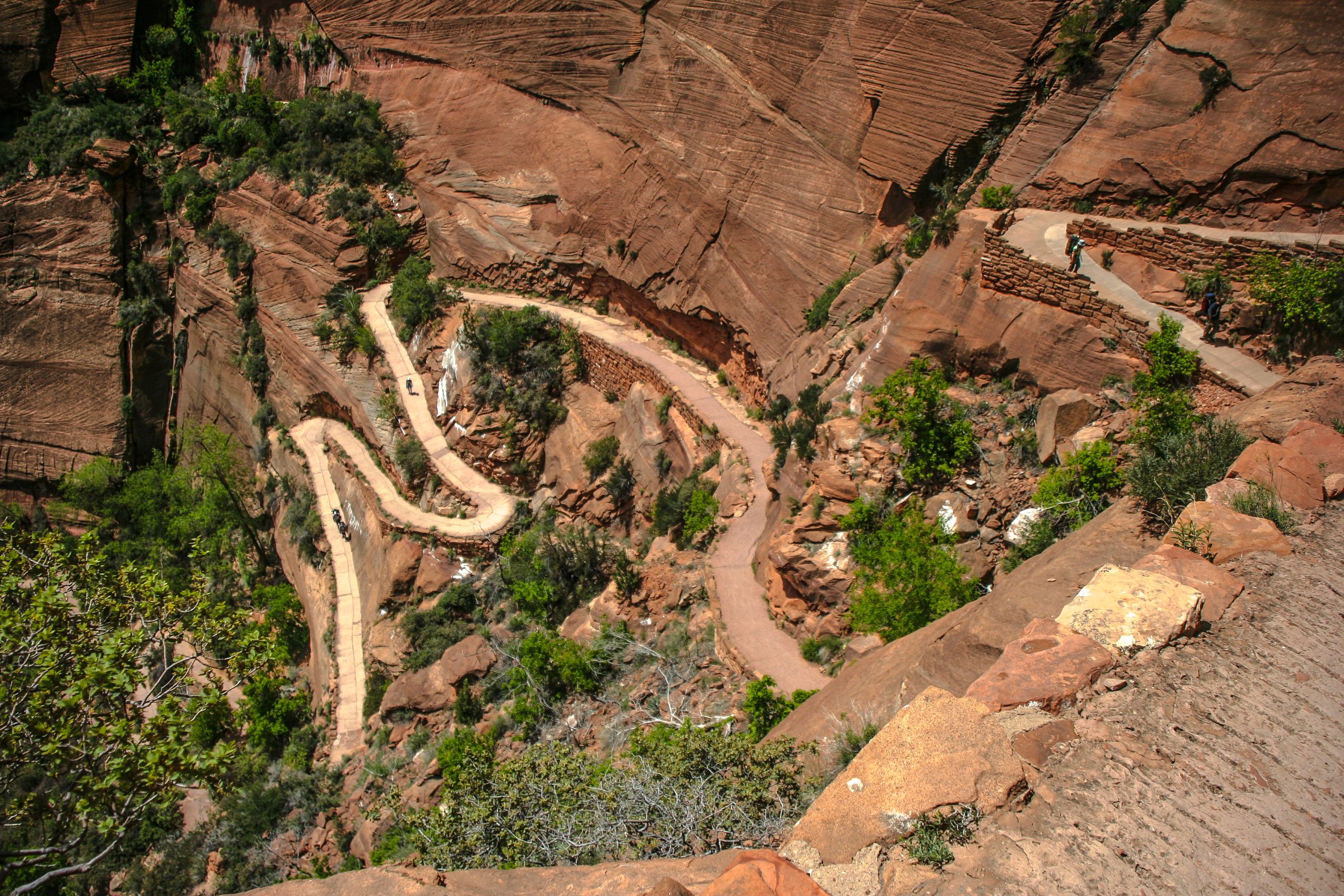
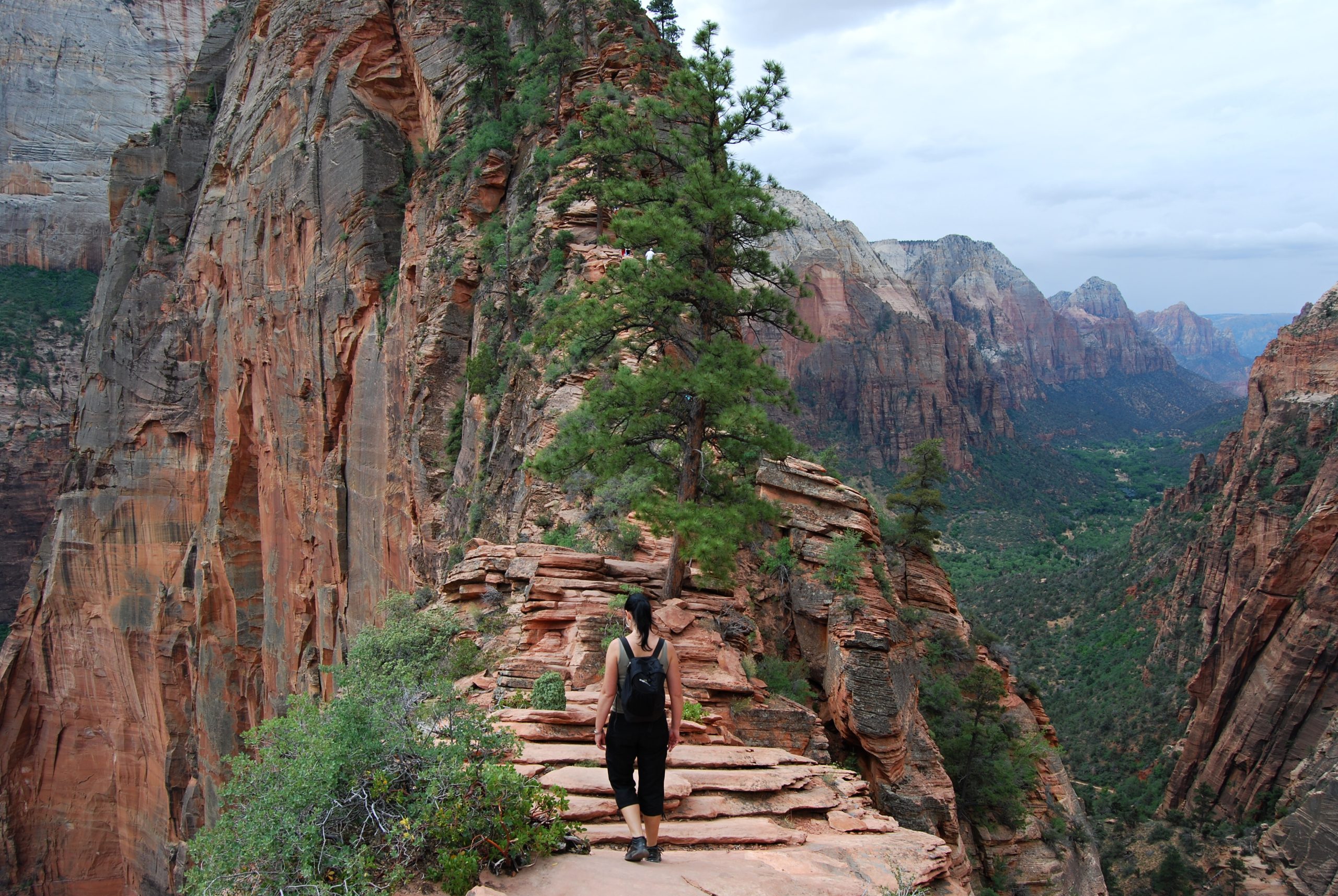
Read The Shape Of The Land
Terrain provides reliable navigation clues even without paths. Ridges, valleys, slopes, and drainage channels guide movement naturally. Traveling along ridgelines or following valleys often offers predictable direction. Understanding how landforms connect helps maintain orientation when visibility drops. Contour awareness allows travelers to avoid unnecessary elevation loss or gain. Noticing subtle changes in slope direction confirms movement aligns with planned routes. The land itself becomes a map when interpreted correctly. Learning to read terrain reduces dependence on artificial markers and supports confident navigation across varied environments.
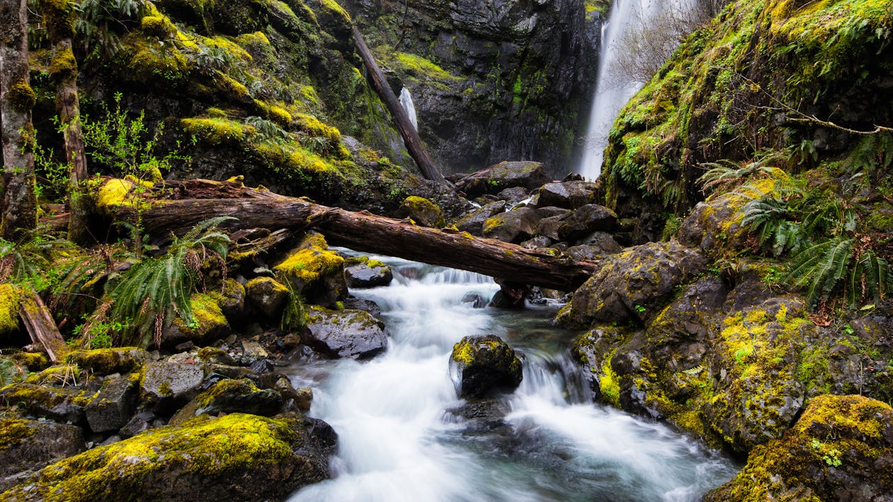
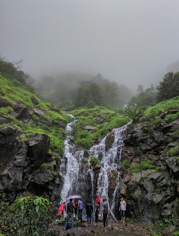
Follow Water Flow Patterns

Water movement offers consistent directional information. Streams flow downhill toward larger bodies, revealing general orientation within a landscape. Identifying watershed direction helps confirm position relative to maps. Following water uphill can lead toward higher ground or known ridges, while downhill movement often reaches valleys or roads. Care is required to avoid dangerous terrain near water, yet its directional reliability remains valuable. Seasonal conditions affect flow strength but not direction. Observing water behavior provides reassurance when other cues disappear, supporting orientation through sound, slope, and movement patterns.
Track Time And Distance Carefully
Maintaining awareness of time and distance traveled helps estimate current location. Knowing average pace and elapsed time allows rough positioning even without visual markers. This method works best when paired with map reference points and terrain recognition. Losing track of time often leads to overestimating progress. Regular checks prevent mental drift and misplaced confidence. Distance awareness also informs turnaround decisions before fatigue sets in. Tracking movement reinforces structure during uncertainty. Simple habits like counting steps or monitoring travel intervals can significantly improve orientation when external cues are absent.
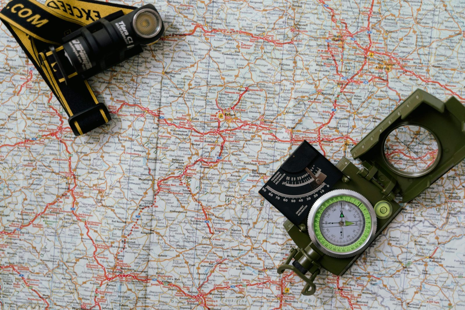
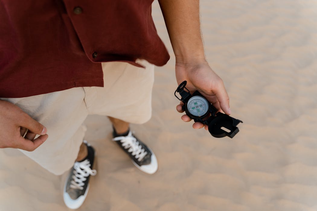
Use A Compass Correctly
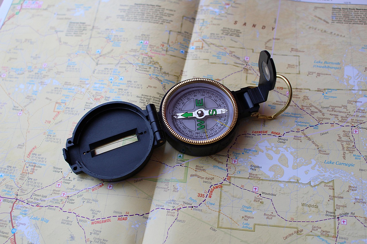
A compass remains reliable regardless of visibility or terrain changes. Proper use requires understanding declination, bearing reading, and consistent checks. Aligning movement with a planned bearing prevents gradual drift. Compasses function without batteries, making them dependable in harsh conditions. Frequent reference ensures confidence even when surroundings look unfamiliar. Combining compass use with terrain awareness strengthens accuracy. Many navigation errors occur from misuse rather than equipment failure. Practicing compass skills before trips ensures calm, efficient application when trails fade and decisions must remain deliberate and precise.
Observe Sun Position And Movement

The sun provides broad directional guidance during daylight hours. Knowing its general path helps estimate east and west, even under partial cloud cover. Shadows change predictably, offering additional reference points. Seasonal differences affect sun angle but not overall movement pattern. Observing changes throughout the day confirms orientation consistency. While not precise enough alone, solar cues support other navigation methods. Awareness of sunrise and sunset positions strengthens mental mapping. Using the sun as a secondary reference adds redundancy, reducing reliance on a single navigation tool.
Notice Vegetation Patterns
Vegetation often reflects environmental conditions tied to direction and exposure. Moss growth, tree density, and plant type can vary based on sunlight, moisture, and wind. While not universal indicators, consistent patterns across a region provide subtle orientation clues. Windward slopes may appear different from sheltered sides. Snow melt patterns also affect vegetation. These observations require regional familiarity and caution against assumptions. When combined with map knowledge and terrain reading, vegetation patterns offer supportive context rather than sole guidance. They supplement navigation, never replace.
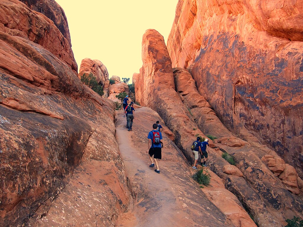
Maintain Line Of Travel Awareness
Regularly looking back along the route helps maintain orientation. This practice reveals how surroundings change from different angles, aiding return navigation. Noting distinctive features along the way creates visual anchors. When trails vanish, remembering how terrain appeared earlier prevents confusion. This habit also highlights deviations from intended paths sooner. Turning around periodically reinforces spatial memory. Maintaining awareness of travel direction relative to visible landmarks builds continuity. Backward observation complements forward movement, strengthening overall situational awareness during uncertain navigation conditions.
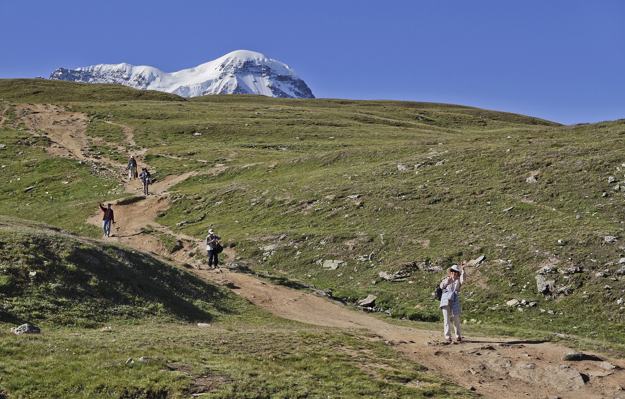
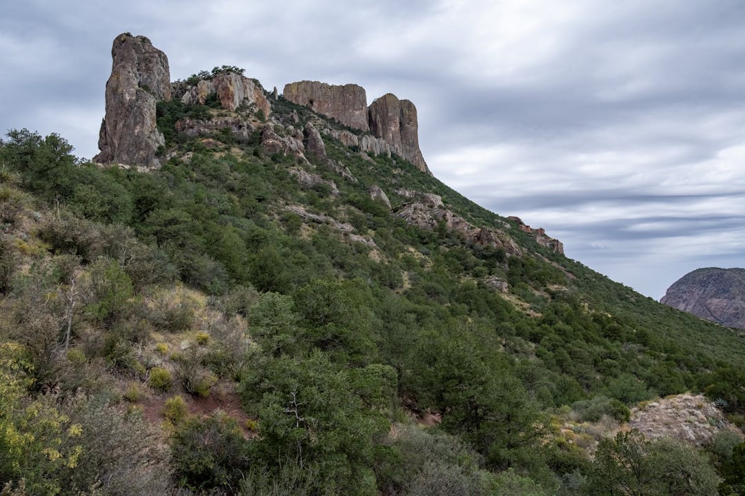
Identify Distant Landmarks
Prominent distant features such as peaks, ridges, or large rock formations offer stable reference points. Aligning movement toward or alongside these landmarks maintains consistent direction. Even when nearby terrain shifts, distant features remain visible longer. Regularly confirming alignment prevents gradual veering. Landmarks also assist in confirming map positions. Weather may obscure visibility temporarily, but identifying multiple reference points increases reliability. Choosing landmarks early supports long range orientation and reduces reliance on short lived ground cues that may disappear unexpectedly.
Avoid Tunnel Vision During Movement
Focusing only on immediate surroundings increases disorientation risk. Lifting awareness to include broader terrain helps maintain directional context. Tunnel vision often develops under stress or fatigue. Periodic pauses to scan surroundings restore perspective. Checking elevation, slope direction, and horizon features prevents unnoticed course changes. Broader awareness also improves hazard detection. Remaining mentally flexible supports better decisions. Navigation requires both close attention and wide observation. Balancing these perspectives ensures orientation remains intact even when the immediate path offers limited information.
Mark Progress Mentally Not Physically

Leaving physical markers can damage environments and create false confidence. Mental mapping offers a cleaner alternative. Remembering sequences of features builds an internal route record. Associating turns with terrain changes strengthens recall. This practice encourages active engagement with surroundings. Mental markers adapt better than physical ones, which may shift or disappear. Visualization techniques help maintain continuity. Recalling landmarks in order aids backtracking if needed. Mental tracking reinforces spatial awareness and reduces dependence on external traces that may not remain reliable.
Use GPS As A Reference Not A Crutch
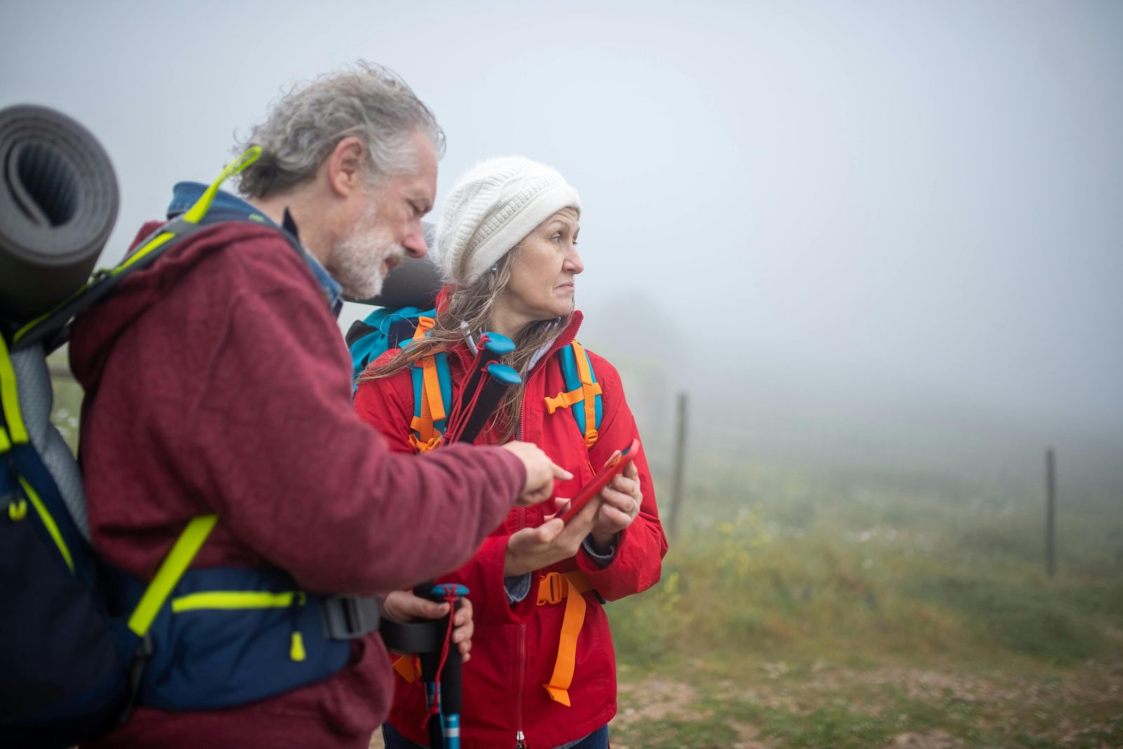
GPS devices provide useful confirmation but should not replace awareness. Batteries fail, signals weaken, and screens distract from surroundings. Using GPS periodically to verify position preserves orientation skills. Cross checking digital readings with map and terrain ensures accuracy. Over reliance reduces adaptability when technology fails. Treating GPS as supplemental maintains preparedness. Familiarity with basic navigation ensures confidence remains intact. Balanced use strengthens overall navigation rather than weakening core skills. Technology works best when integrated thoughtfully with traditional orientation methods.
Pay Attention To Wind Direction

Wind direction often remains consistent over time and provides subtle orientation cues. Feeling wind on the same side of the body confirms steady direction. Changes may indicate terrain shifts or weather developments. Wind interacts with ridges and valleys predictably. Awareness of prevailing wind patterns adds another layer of reference. While not precise, wind supports broader orientation awareness. Combining wind sense with other cues reinforces confidence. This sensory input remains available even in low visibility conditions, supporting navigation when visual markers fade. This reliability helps maintain direction during storms or unexpected changes.
Recognize Sound As Directional Information
Sound travels differently across terrain and can indicate orientation. Water, roads, or wind through trees create identifiable audio cues. Noting direction and consistency helps maintain spatial awareness. Sound may reveal proximity to known features marked on maps. Changes in acoustics often signal terrain shifts. Listening actively adds information often overlooked. While unreliable alone, sound contributes to a fuller situational picture. Integrating auditory awareness supports navigation, especially in fog, forest, or low light conditions where visual input remains limited. Sound awareness complements navigation and confidence when surroundings become disorienting.
Keep Elevation Changes In Mind
Elevation awareness prevents disorientation in complex terrain. Noting climbs and descents aligns movement with map contours. Unexpected elevation change often signals deviation from route. Checking altimeters or estimating gain reinforces position awareness. Elevation patterns remain consistent even when trails vanish. Understanding how elevation relates to surrounding features clarifies location. Tracking vertical movement adds precision to navigation decisions. Elevation awareness supports efficient energy use and reduces confusion when horizontal cues become unreliable. Elevation tracking helps confirm position and prevents gradual navigational drift.
Stop Before Confusion Escalates
Pausing early prevents minor uncertainty from becoming major error. Stopping allows calm assessment of position, tools, and surroundings. Continuing while unsure compounds mistakes. Reviewing map, compass, and terrain restores clarity. Stress narrows perception, making errors more likely. Taking time reduces pressure and improves judgment. This discipline preserves safety and orientation. Recognizing uncertainty early demonstrates skill rather than weakness. Pausing remains one of the most effective navigation strategies when trails disappear. Intentional pauses restore perspective and reduce mistakes during uncertain navigation.
Practice Navigation Skills Regularly
Navigation confidence grows through practice rather than emergency use. Regular skill application builds familiarity and reduces panic. Practicing in low risk environments strengthens technique. Skills fade without use, increasing reliance on technology. Training reinforces map reading, compass use, and terrain interpretation. Repetition improves efficiency and calm response. Preparedness ensures orientation remains reliable even under stress. Treating navigation as an ongoing skill supports safer travel. Consistent practice turns orientation into instinct rather than reaction. Regular practice strengthens judgment, efficiency, and calm responses across environments.


