
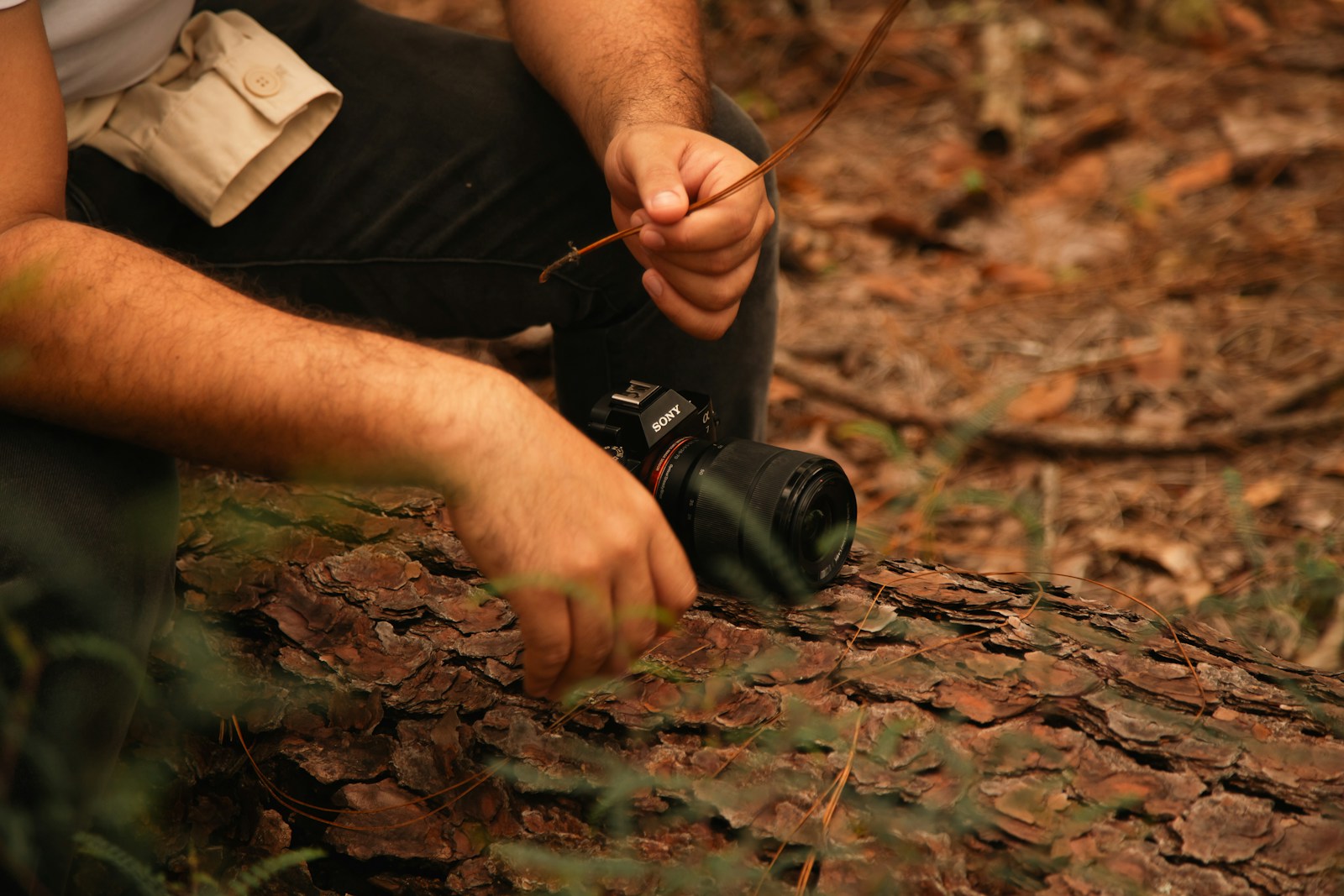
Northern Michigan’s backcountry remains a place where thick cedar swamps, rolling ridges, and long stretches of quiet forest shape how people move through the land. These areas still reflect the same conditions that earlier generations experienced, which keeps many traditional skills relevant today. Hunters, hikers, and foragers often rely on methods rooted in patience, observation, and practical knowledge passed down over decades. With landscapes that shift between dense cover and open hardwoods, these long-standing skills continue to guide safe and confident travel.
Reading Tracks in the Forest
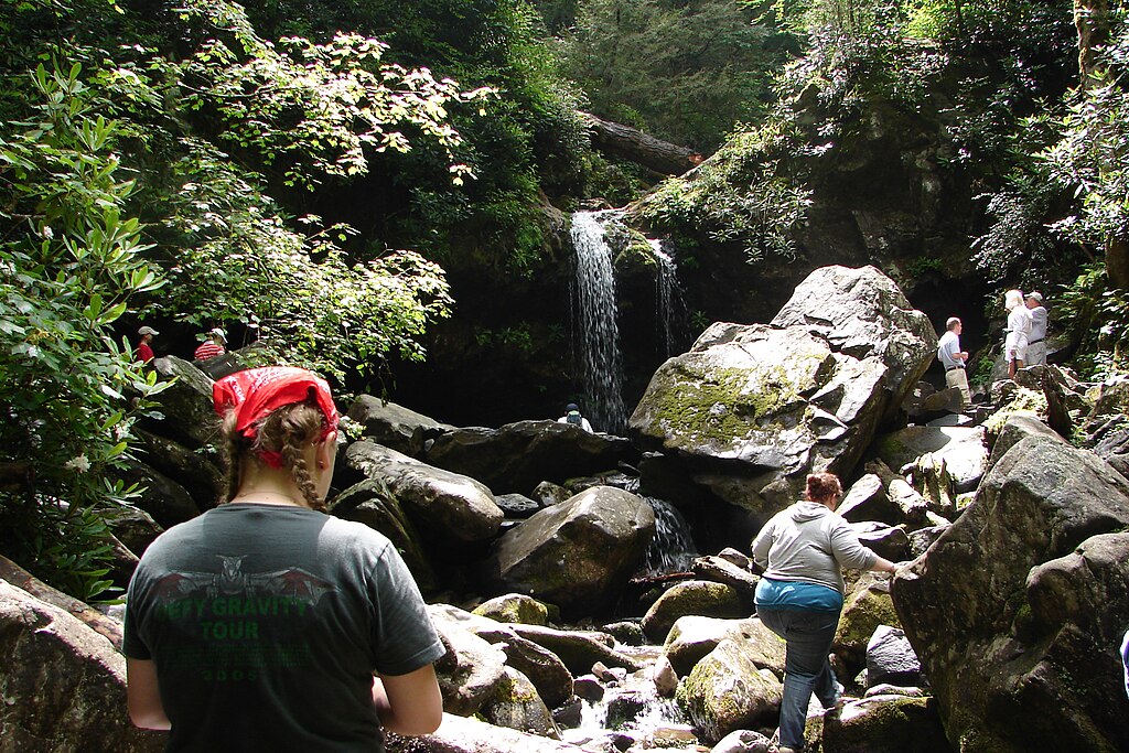
The sandy soil and shaded wetlands of the Pigeon River Country State Forest reveal clear tracks that help map wildlife movement across the day. Deep impressions along muddy riverbanks indicate where animals pause to drink, while lighter patterns on pine needles show quiet travel across higher ridges. Track spacing and direction become easier to interpret in terrain that varies between low wetlands and rolling hills. These clues build a detailed picture of how deer, elk, and smaller animals navigate the area.
Finding Windbreaks in the Woods
Steady winds blowing off Lake Michigan and Lake Superior make natural windbreaks important when moving through the Hiawatha National Forest. Dense cedar groves and thick hemlock stands offer protection when gusts sweep across exposed ridges. Fallen logs create sheltered pockets that soften the wind’s force and provide comfortable resting spots. These natural buffers help maintain steady progress through sections where wind can shift rapidly.
Noticing Bird Alerts in Dense Canopy

The lush canopy of Ottawa National Forest hosts bird species that give subtle warnings about nearby movement or weather changes. Sudden bursts of chatter or abrupt silence often reflect animals passing through brush or the start of changing conditions. Songbirds gathering along oak ridges may indicate activity below. Listening closely to these patterns strengthens awareness of the forest’s daily rhythm.
Navigating by Tree Growth
The Porcupine Mountains Wilderness contains uneven slopes and thick valleys where tree growth patterns help with orientation when visibility drops. Moss tends to gather heavily on the north-facing sides of birch and maple trees, while branches on wind-exposed ridges grow unevenly. These natural indicators support direction finding during foggy mornings or when trails fade under leaf litter. Using these clues ensures steady travel through rugged country.
Following Old Logging Roads
The remnants of historic logging roads found throughout Manistee National Forest form narrow corridors that cut through young hardwoods and pine plantations. Even when grasses grow tall, shallow depressions mark the roadbeds and help guide movement through thicker brush. These paths offer clearer travel routes and reduce the effort needed to push through the heavy understory. Their presence reflects the region’s lumber-era past.
Studying Rub Lines in Mixed Woods
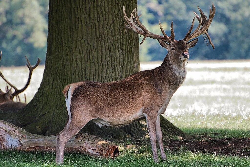
Forested areas around Alpena display numerous deer rub lines along young maple and aspen saplings. The height, angle, and freshness of the rubbed bark provide clues about movement between bedding and feeding areas. Fresh lines appear most clearly in early fall when saplings show bright markings. Reading these patterns adds valuable insight into seasonal wildlife behavior.
Practicing Stillness in Quiet Stands
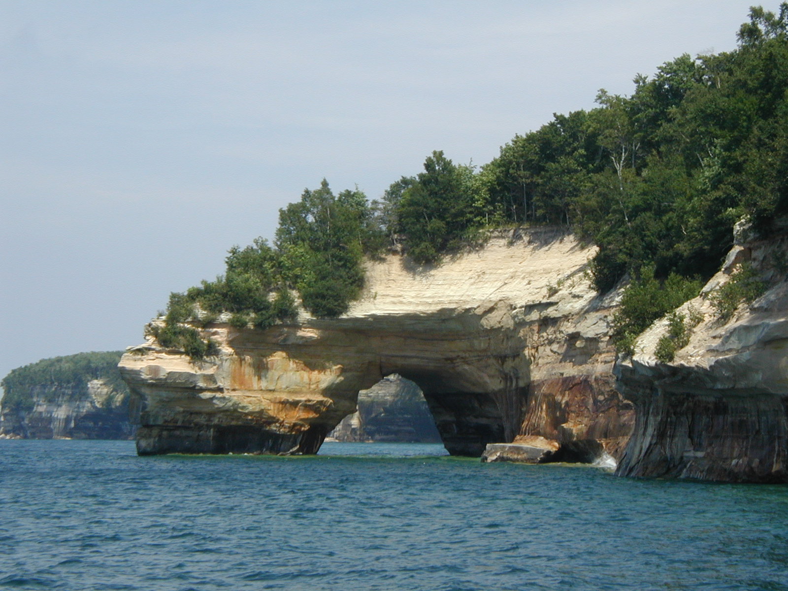
Backcountry areas within Pictured Rocks National Lakeshore include hemlock stands where sound travels easily through the forest. Practicing stillness allows subtle movements, like soft steps or shifting ferns, to become more noticeable. Frequent pauses reduce disturbance and help the surroundings return to their natural rhythm. This approach works especially well in areas where acoustic sensitivity defines the landscape.
Identifying Plants Along River Trails
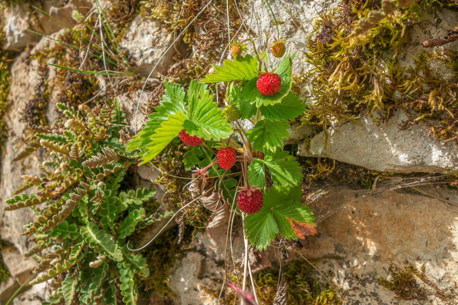
The Tahquamenon River Basin supports a rich mix of edible and medicinal plants that appear seasonally along shaded routes and sandy clearings. Blueberries and wintergreen sprigs grow in pockets of filtered light, while certain mushrooms emerge after steady rainfall. Recognizing these safe species builds confidence when exploring deeper into the basin’s remote sections. Such knowledge strengthens a practical connection to the land.
Reading Clouds Over Open Ridges
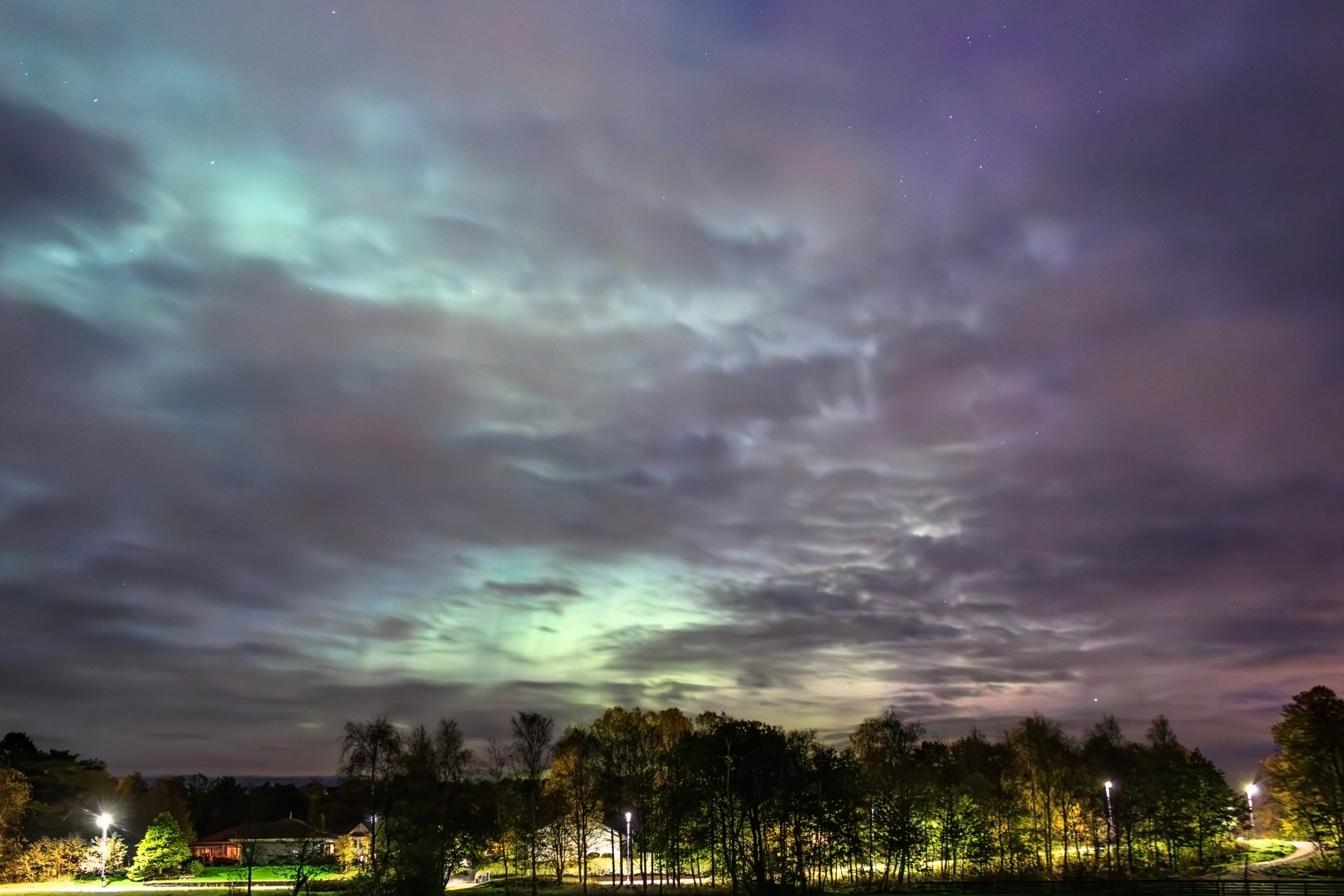
The weather along the Keweenaw Peninsula shifts quickly due to Lake Superior’s influence, making cloud reading a helpful skill in exposed areas. Low, fast-moving formations often announce incoming lake-effect snow, while higher, slower layers signal calmer conditions. Changes in cloud density or color frequently precede sudden temperature drops. Observing these signs guides decisions before storms approach.
Moving Quietly Through Low Valleys
The Jordan River Valley features soft moss beds mixed with brittle leaf cover that requires deliberate movement to stay quiet. Slow steps and careful weight placement help reduce noise from snapping twigs or shifting branches. This approach also improves balance across uneven terrain. Quiet travel suits the valley’s peaceful character and dense forest cover.
Following Waterways Through Thick Forest
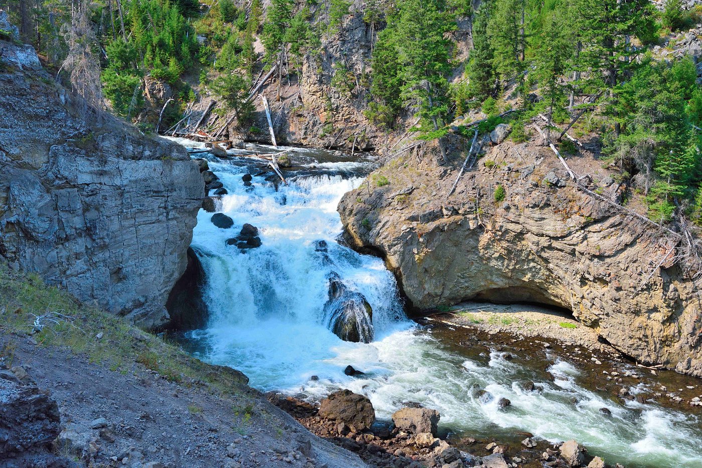
Streams winding through the Sturgeon River region offer natural travel corridors through sections of deep forest. Their steady flow provides sound that masks light movement, while firm banks offer better footing than dense underbrush. These waterways guide travelers across terrain with few obvious landmarks. Their predictable paths simplify navigation.
Using Echo Cues in Dense Lowlands
The thick spruce and cedar stands near Sault Ste. Marie creates environments where echo cues help estimate distances in low-visibility conditions. Sounds bouncing off trunks or distant ridges reveal open areas or nearby obstacles. Changes in echo sharpness signal shifts in terrain as the forest opens or closes. This acoustic awareness aids orientation when sightlines disappear.


