
Although satellite imagery and digital mapping have transformed how we view the Earth, vast portions of the planet remain incomplete in detail. According to NASA, less than 20% of the seafloor has been mapped with high-resolution sonar, and UNESCO reports that several terrestrial regions, including rainforests and remote islands, still lack detailed topographical surveys. Below are 11 locations that continue to challenge cartographers and explorers.
Hidden Tribes of Vale do Javari, Brazil
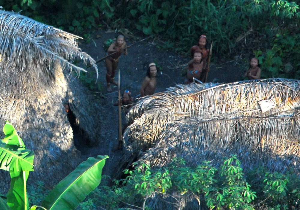
Covering more than 85,000 km², Vale do Javari in western Brazil is home to the largest number of uncontacted Indigenous tribes in the world. Government estimates suggest at least 19 isolated groups live in this dense Amazonian basin. Due to strict protections and its vast, roadless terrain, detailed mapping of its rivers and settlements remains incomplete. Satellite surveys show only the canopy, leaving ground-level geography largely undocumented.
Maze of the World’s Slums
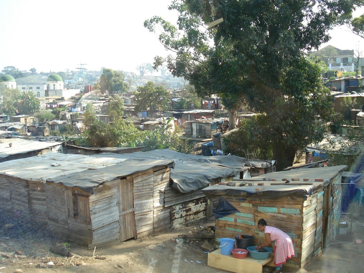
According to UN-Habitat, nearly 1 billion people live in slums, with sprawling informal settlements in cities like Dhaka, Mumbai, and Lagos. These neighborhoods often lack cadastral maps or official records. Narrow alleys, makeshift housing, and constant expansion mean even local governments lack precise cartography. For example, Kibera in Nairobi, housing about 250,000 residents, wasn’t properly mapped until community-driven projects began using GPS in the 2000s.
The Vanishing Sandy Island, South Pacific
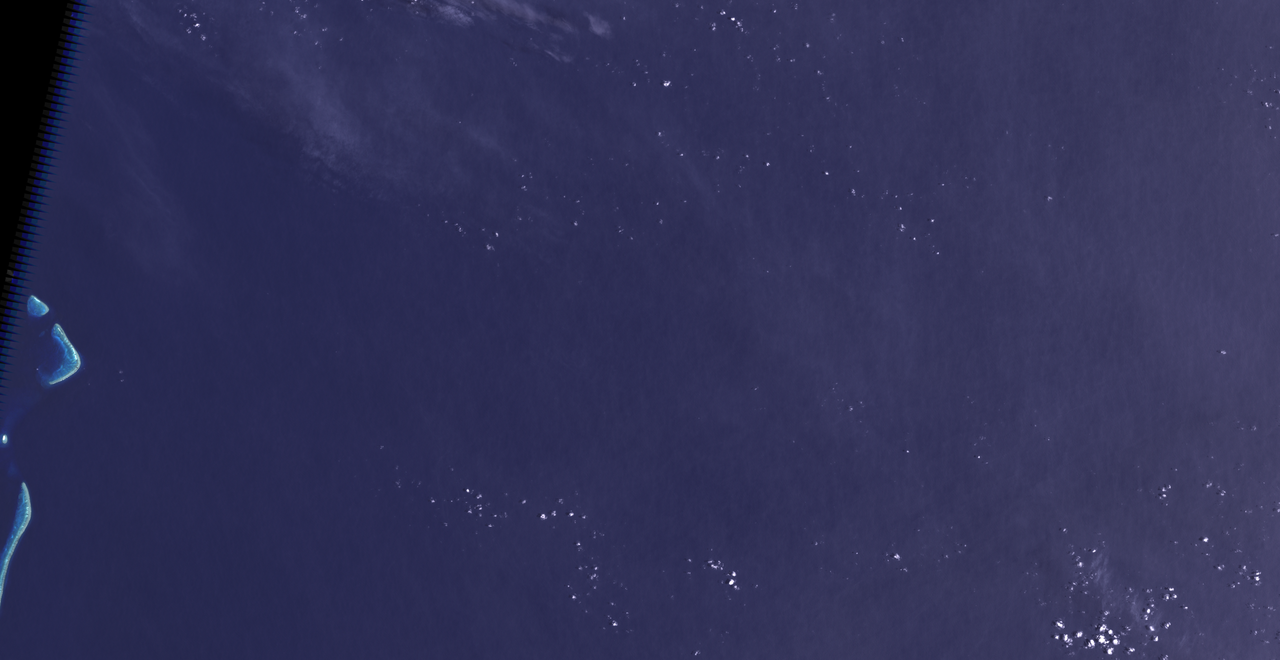
Sandy Island, once recorded on nautical charts near New Caledonia, was shown to be nonexistent during a 2012 Australian research voyage. Despite appearing on Google Earth and maps for over a decade, the island vanished from updated databases after sonar scans revealed only deep ocean at the site. This cartographic error highlights how certain remote parts of the Pacific are still prone to inaccuracies despite satellite coverage.
The Submerged Yucatan Cenotes
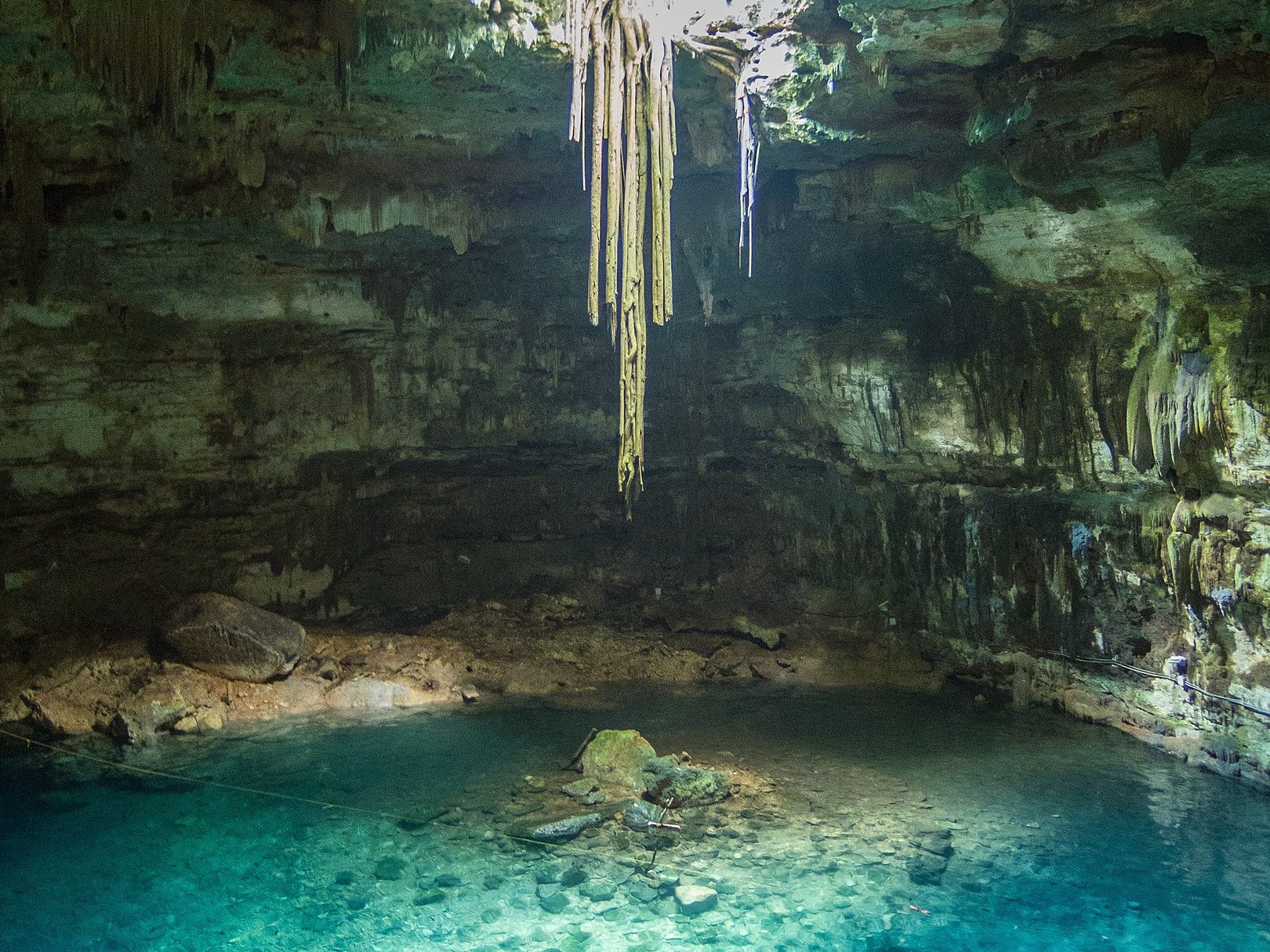
Mexico’s Yucatan Peninsula contains over 6,000 cenotes—natural sinkholes leading to vast underground river systems. Only around 2,400 have been documented by speleologists. The Sac Actun cave system, mapped to 347 km so far, remains incompletely surveyed due to difficult underwater passages. These subterranean networks hold both archaeological artifacts and critical freshwater reserves, but a significant portion remains unexplored and unmapped.
Unclimbed Peak: Gangkhar Puensum
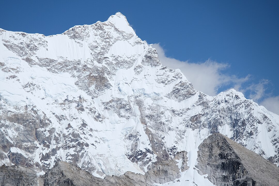
At 7,570 meters, Bhutan’s Gangkhar Puensum is the world’s highest unclimbed mountain. Mountaineering has been banned in Bhutan above 6,000 meters since 1994 to preserve spiritual traditions, leaving much of the terrain unsurveyed. Even before the ban, climbers failed to reach its summit due to harsh conditions and poor maps. Topographic data from surrounding areas remains inconsistent, and GPS readings differ by several hundred meters.
Remote Wilderness of Patagonia
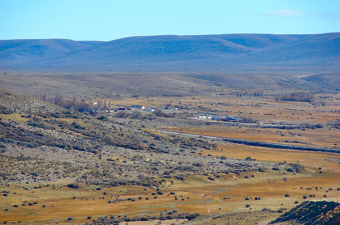
Stretching across 1,043,000 km², Patagonia’s landscape of glaciers, fjords, and mountains straddles Argentina and Chile. The Southern Patagonian Ice Field, the world’s second-largest extrapolar ice mass, is still not fully mapped due to extreme weather and shifting ice. A 2018 joint survey between Chile and Argentina attempted to define exact borders but left significant glacier areas uncharted. Much of its interior remains navigable only by satellite imagery.
Northern Forest Complex, Myanmar
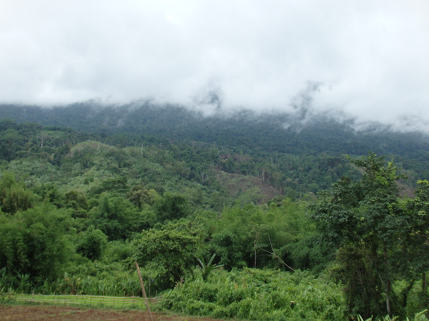
Myanmar’s Northern Forest Complex, spanning about 30,000 km², is one of Southeast Asia’s largest intact forests. Restricted access due to conflict zones and limited scientific expeditions have left it poorly mapped. Satellite studies by WWF reveal only broad forest cover, but fine-scale topographic and ecological maps are missing. Its biodiversity, including rare species like red pandas and clouded leopards, remains incompletely documented due to the lack of ground surveys.
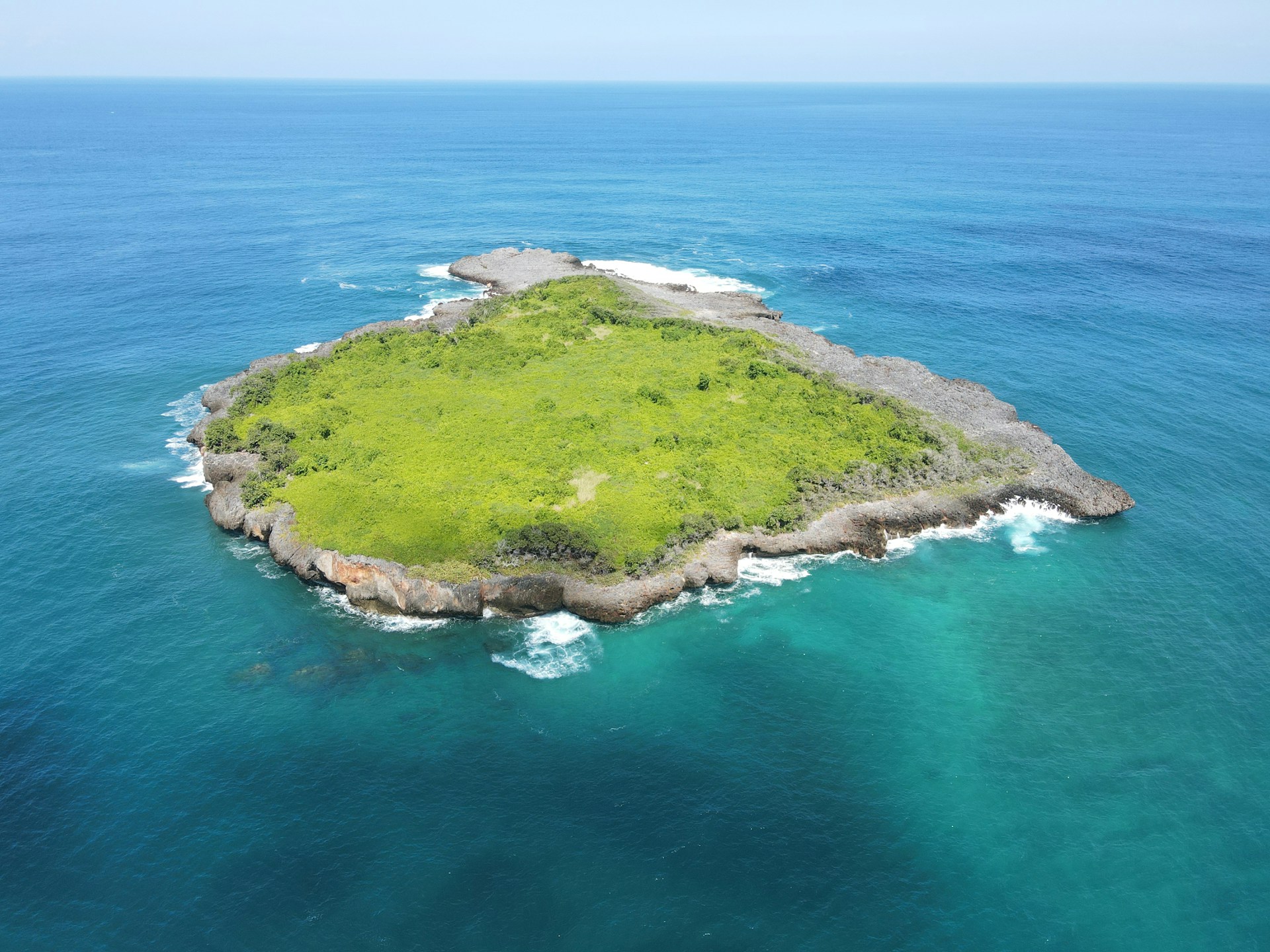
Lost World of Cape Melville, Australia
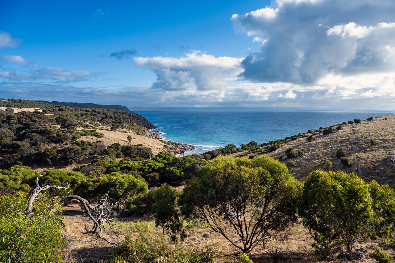
Cape Melville in Queensland remained largely unexplored until 2013, when biologists discovered new species like the Cape Melville leaf-tailed gecko in its isolated boulder fields. Its rugged granite terrain prevented aerial surveys, leaving sections absent from detailed topographic maps. Covering just a few hundred square kilometers, its microclimate and inaccessible geography continue to resist full cartographic coverage, despite high-resolution satellite imaging.
Isolated North Sentinel Island, India
Part of the Andaman and Nicobar Islands, North Sentinel Island remains one of the least mapped places on Earth. Home to the Sentinelese, an uncontacted tribe of about 50–400 people, the island is legally off-limits under Indian law. Satellite images reveal only its coastline, with interior details obscured by dense canopy. The last official surveys date back decades, leaving its topography, resources, and river systems undocumented.
Shifting Global Coastlines
Coastlines are among the hardest geographic features to map precisely, as they constantly change due to erosion, storms, and rising sea levels. NASA and USGS data show that in the past century, Louisiana has lost 5,000 km² of land to coastal retreat. Remote sensing provides snapshots, but fine-resolution maps quickly become outdated. Many developing nations lack updated shoreline records, making global coastal mapping a continually incomplete task.
The Uncharted Ocean Floor

Despite covering 70% of Earth, only about 24.9% of the ocean floor has been mapped in detail as of 2023, according to the Nippon Foundation–GEBCO Seabed 2030 project. Most data comes from shipborne sonar, while satellites provide only low-resolution gravity maps. Vast trenches, seamounts, and undersea volcanoes remain undocumented. The deepest known point, the Challenger Deep at nearly 11,000 meters, was only precisely measured in the 2010s, illustrating how much remains unknown.


